
Quick report
- Cracking
- isolated
A welcome transition back to mountain snowfall brings a change in overall conditions. New snow instabilities accompany the recent and current shift in weather.
isolated cracking within the recent new snowWeather
- Cloud Cover
- overcast
- Rain Elevation
- 2800ft at 5pm
- Recent Snowfall
- 7cm durring mid-day, ~15cm since 12/16
- Snow Avail For Transport
- moderate amounts
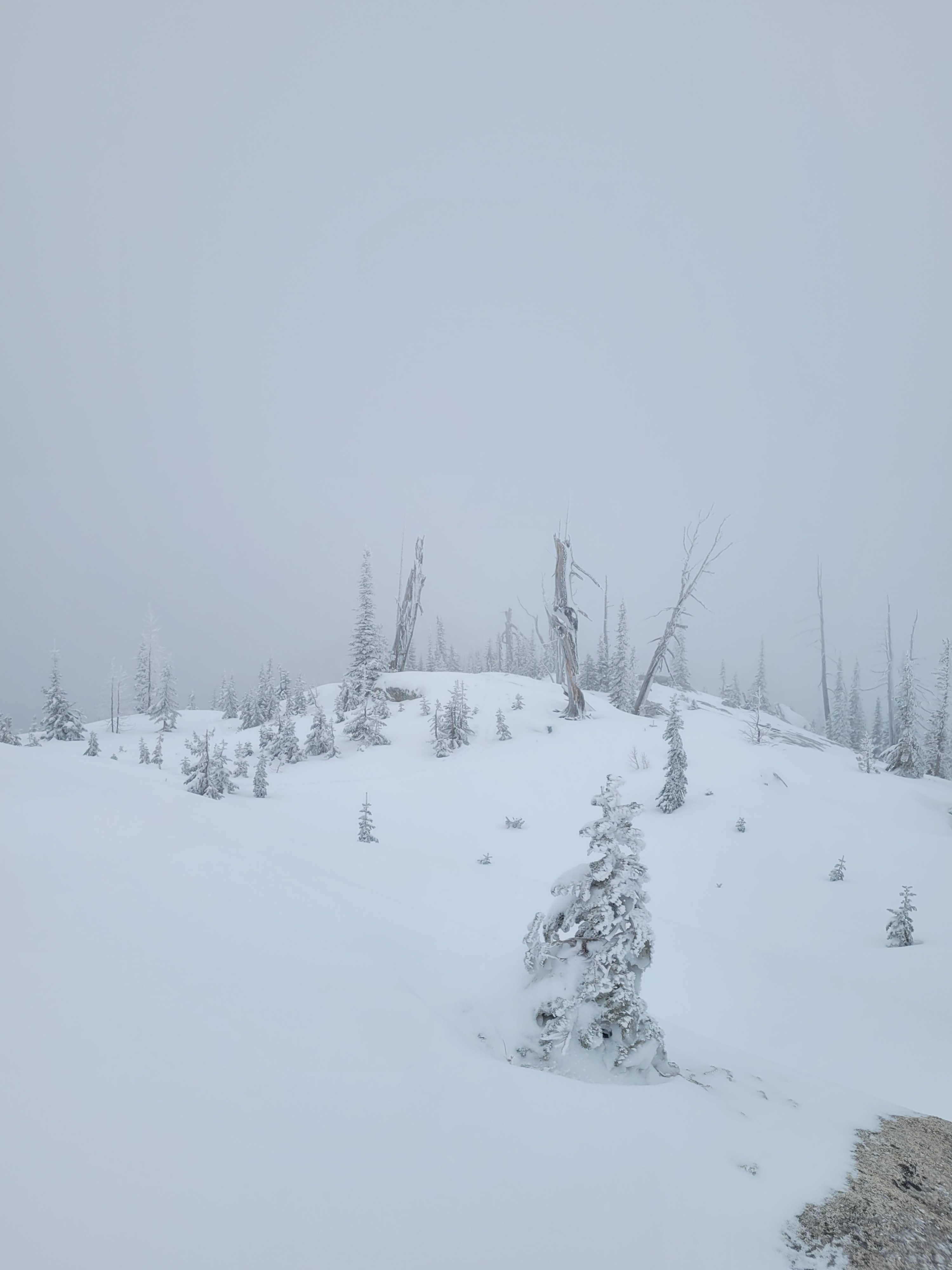
Steady snowfall through mid-day added 8cm of new snow. Ridgeline winds were light from the west. No notable active snow transport observed today, but there is plenty of soft surface snow available for transport.
Snowpack
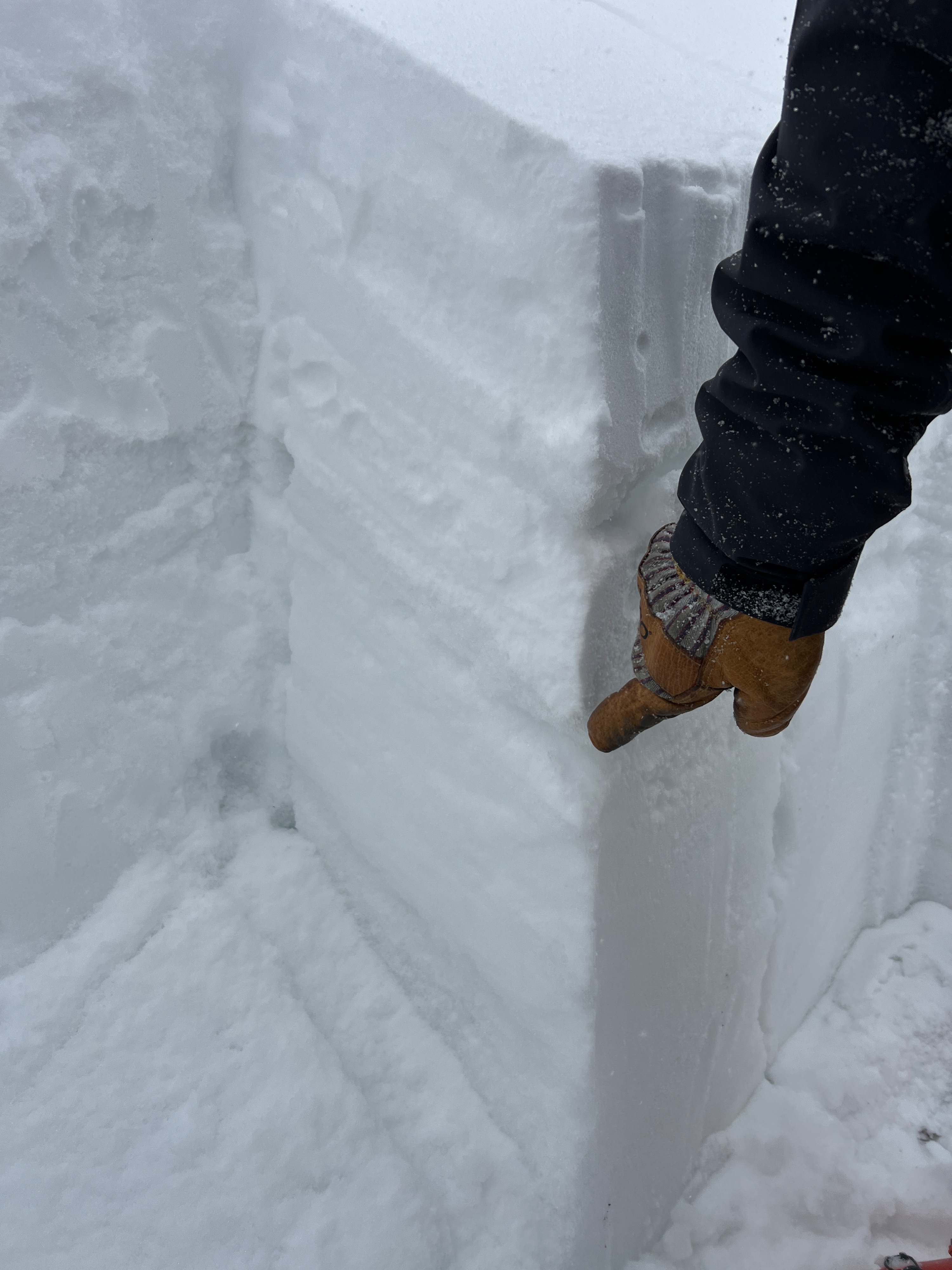
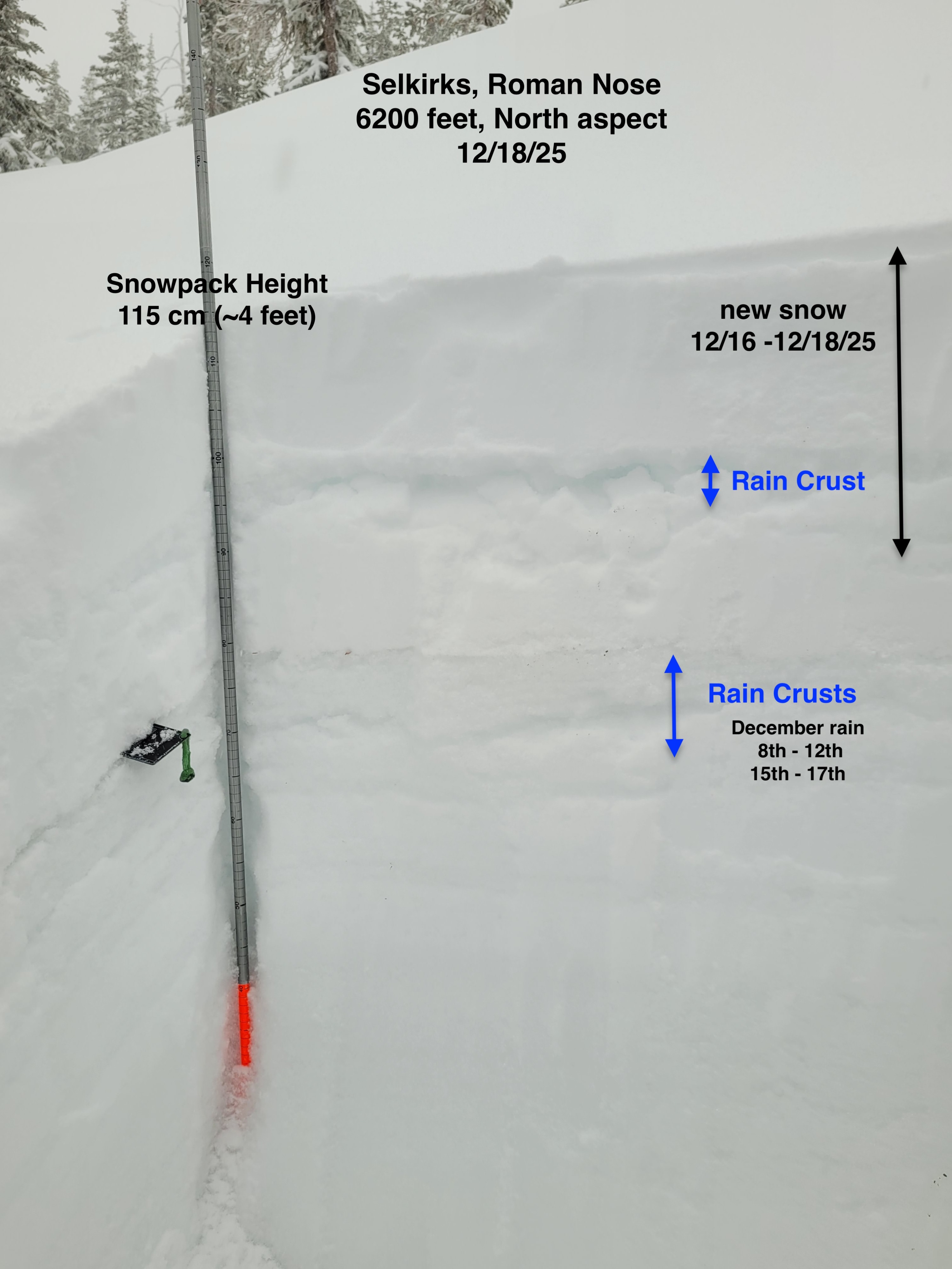
Near 6000 feet we found110cm (~3.5 - 4ft) snowpack height on a north aspect. Soft new snow on the surface sits on a supportable crust down 15cm (~6in) from the surface. Another thicker, K hard, crust is down about 25cm (~10in). Deeper in the snowpack, a mix of rain crusts, melt form grains, and small faceted grains exist. The bottom portion, from 50cm to the ground, 1F hard melt form grains are still moist and not yet refrozen. Snowpack tests show sudden collapse (CT SC) with moderate force results fail underneath rain crusts, and on small faceted grains, in the upper and middle depths of the snowpack.