
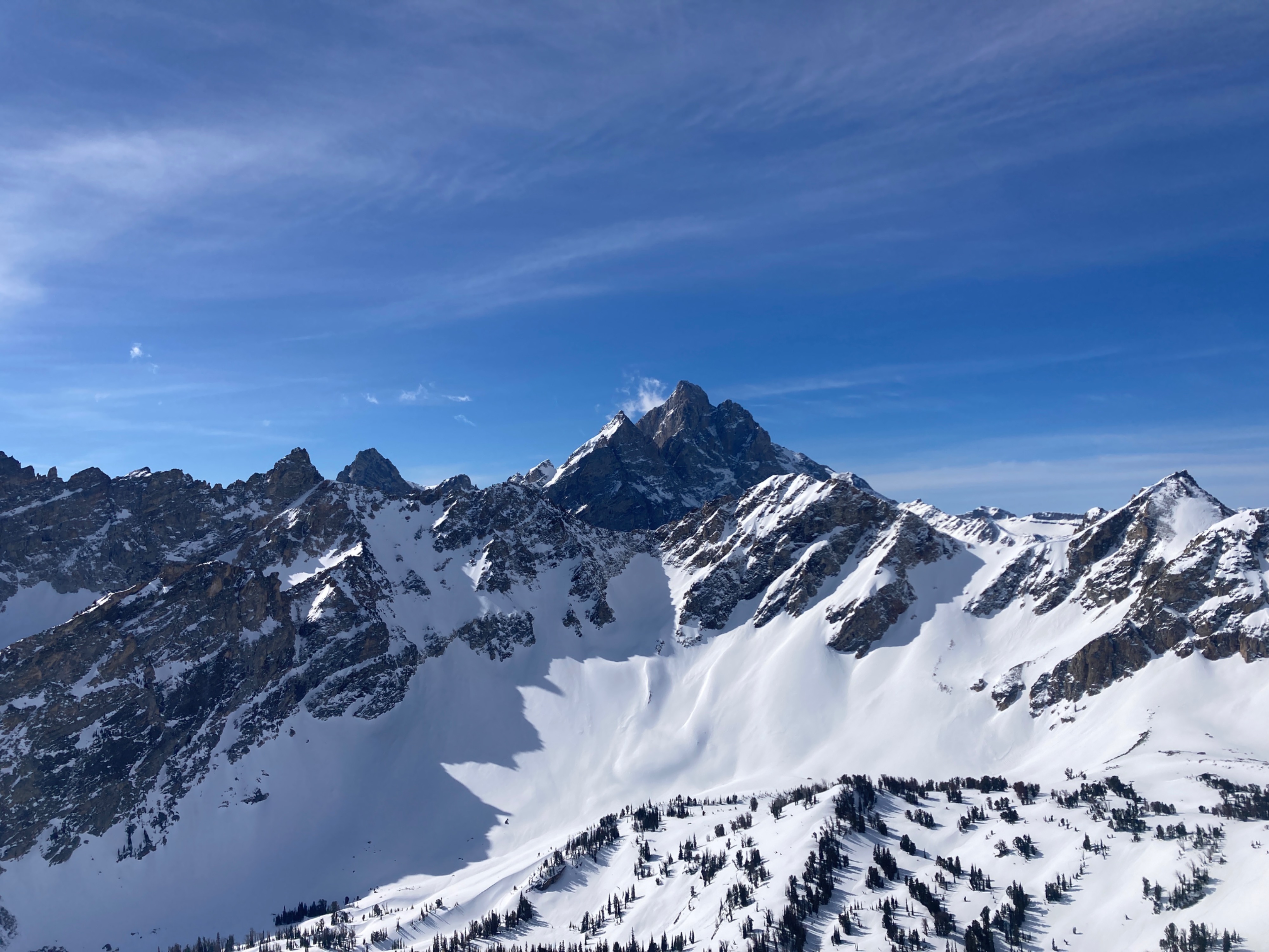
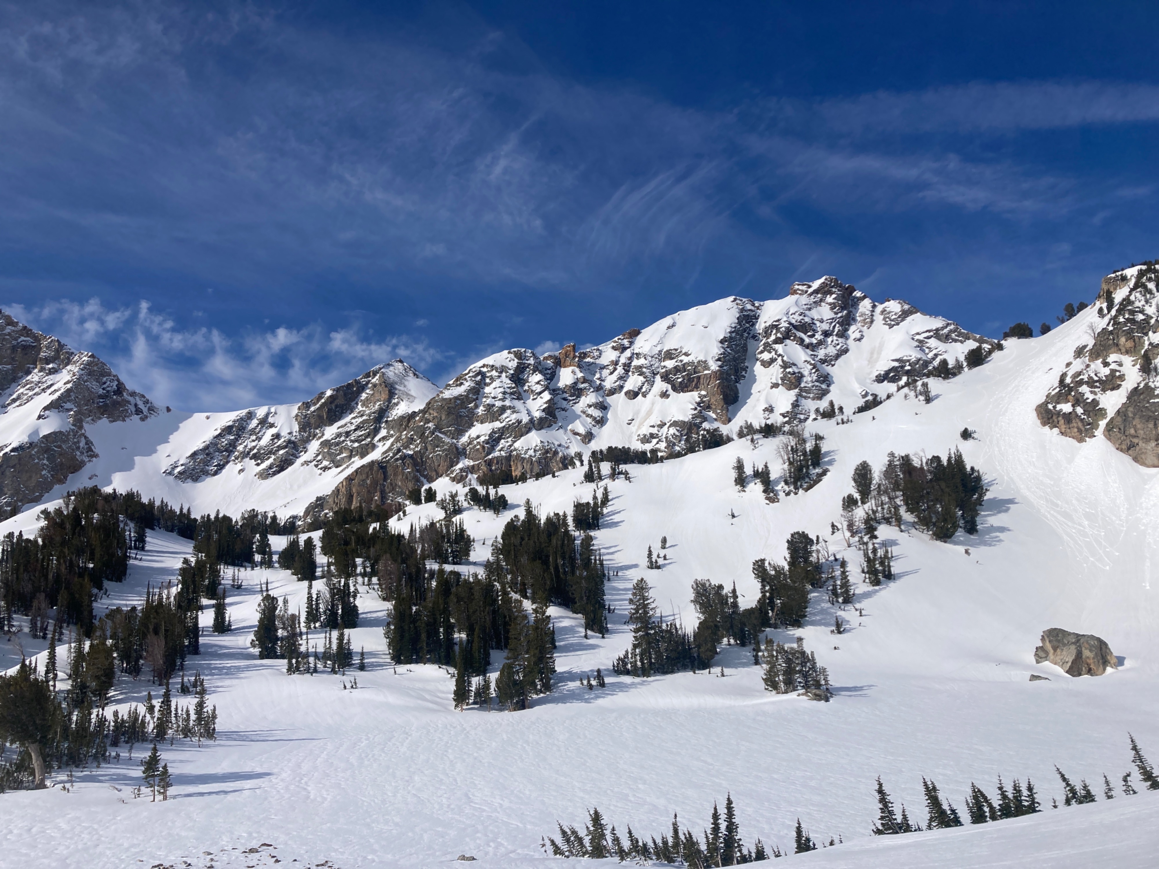
Quick report
We found generally stable avalanche conditions in our travels today. Snow surfaces in the upper elevations varied by aspect. Northerly aspects are still holding dry snow consisting of soft wind pressed snow and harder wind board. Southerlies are closest to corn. Aspects in between are still transitioning from dry to wet, but have seen multiple melt/freeze cycles and are generally supportable.
Elevations above 8,000’ experienced a solid refreeze last night. Solar aspects started to soften by 10am this morning. We skied a SE facing slope around 11:30am and felt that it wasn’t too late to be concerning, but we could have been earlier. Light to moderate wind gusts were keeping surfaces cooler above 10,500’.
Low elevation access and egress is challenging. Dial in that dry skiing.
We were able to initiate some pinwheels and push some wet snow around with our skis in the afternoon, but none of this was significant. No signs of instability on north faces where the snow is still dry.Weather
- Cloud Cover
- few
- Wind Loading
- previous
- Snow Avail For Transport
- none
Mostly clear skies with a few puffy cumulus clouds building in the afternoon. Light to moderate wind gusts above 10,000’. Warm in the sun, but the airtemp remained cool in the shade.
Avalanche
No significant avalanche activity in the past 24-48 hours. We observed numerous D1-D2 windslabs released naturally during and after last weekend's storm (4/3-4/4). We also observed many D1 wet loose avalanches in southerly terrain that released earlier this week.