
Quick report
- Cracking
- isolated
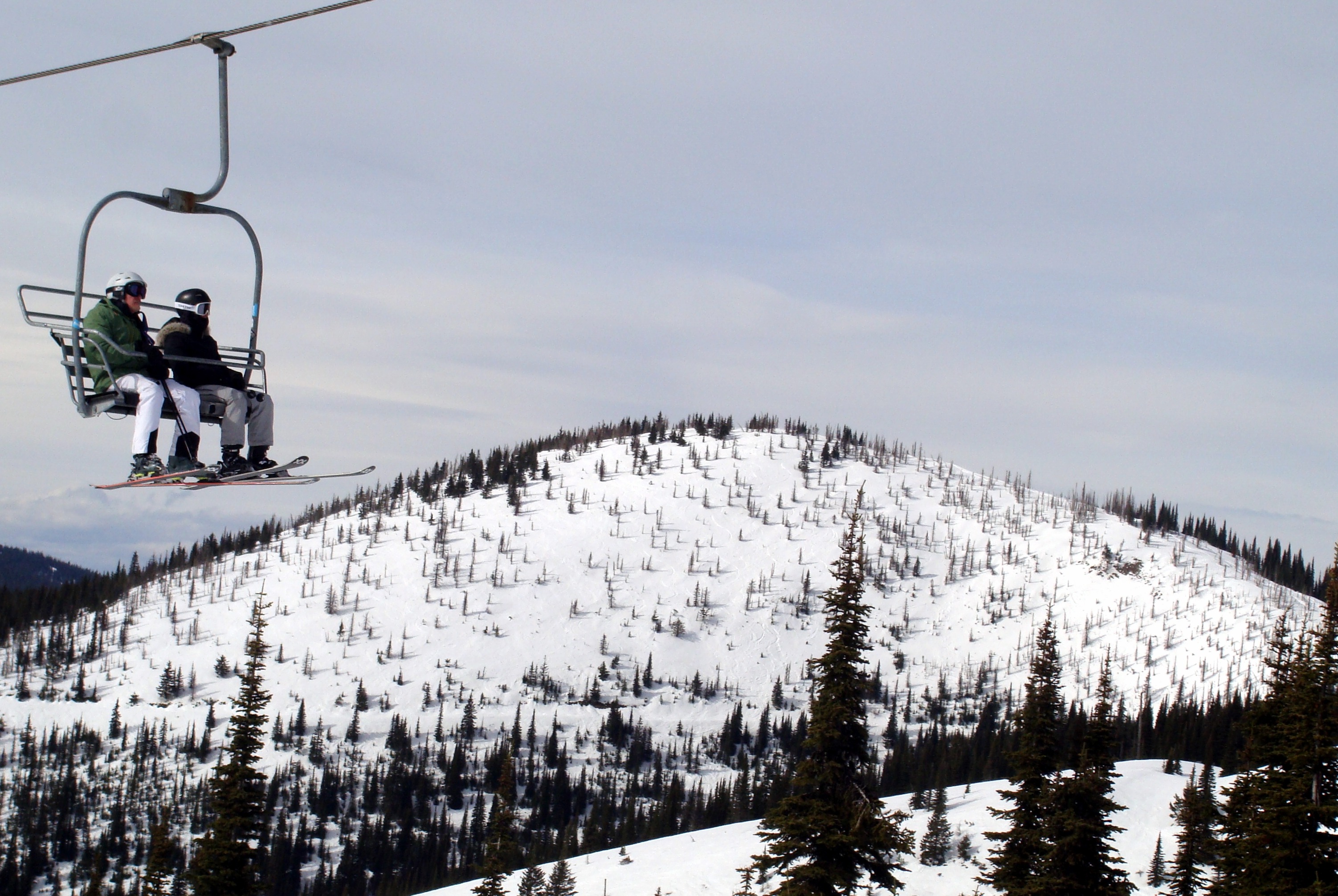
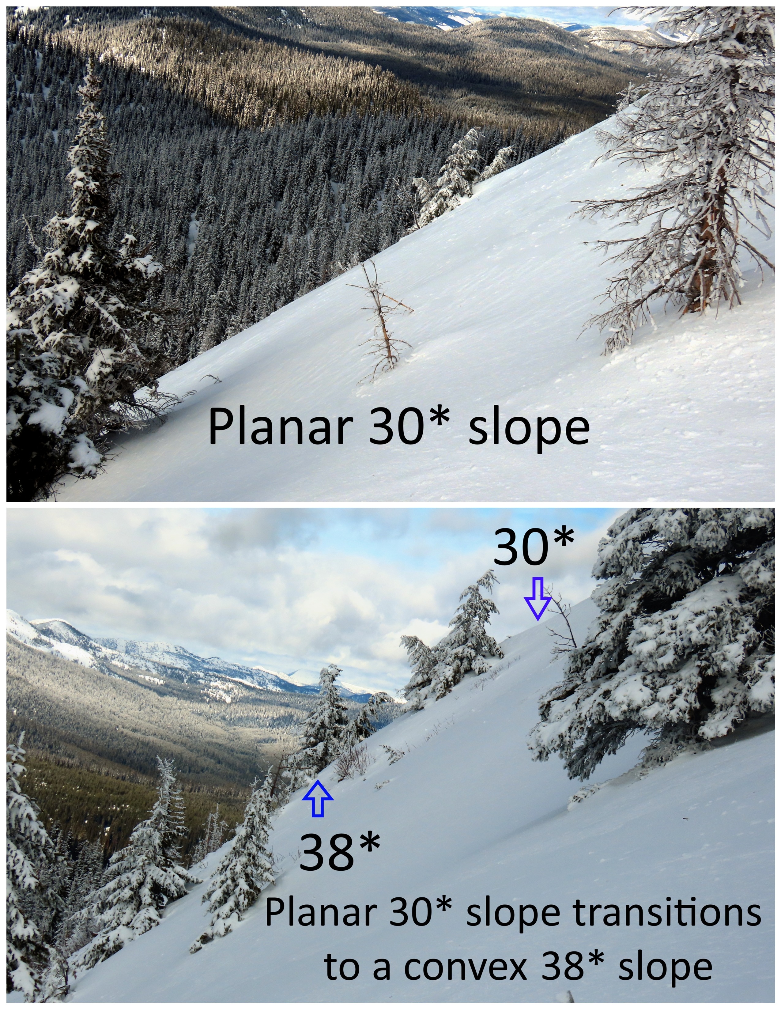
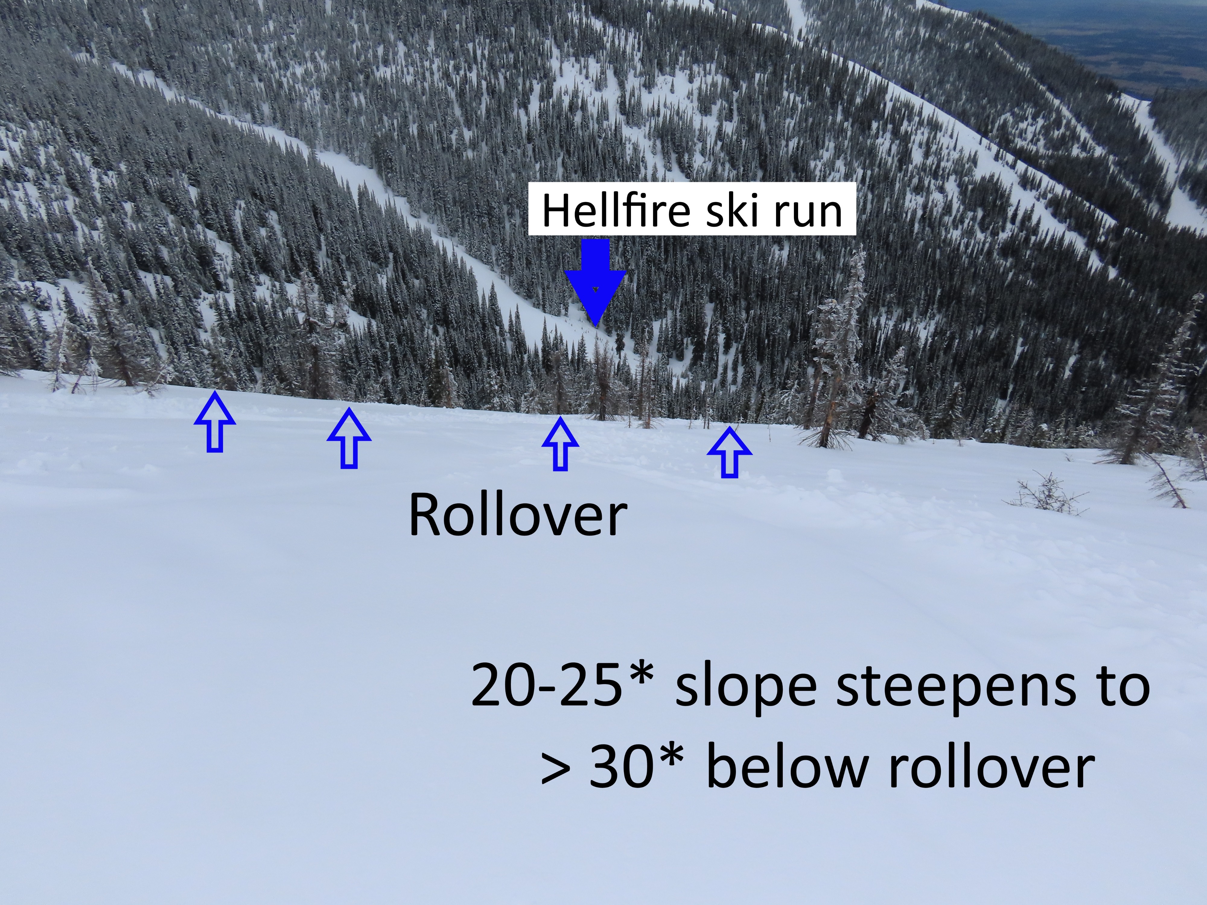
We traveled to Hellroaring Peak to take a closer look at avalanche-prone slopes and collect data for a project aimed at educating WMR sidecountry users.
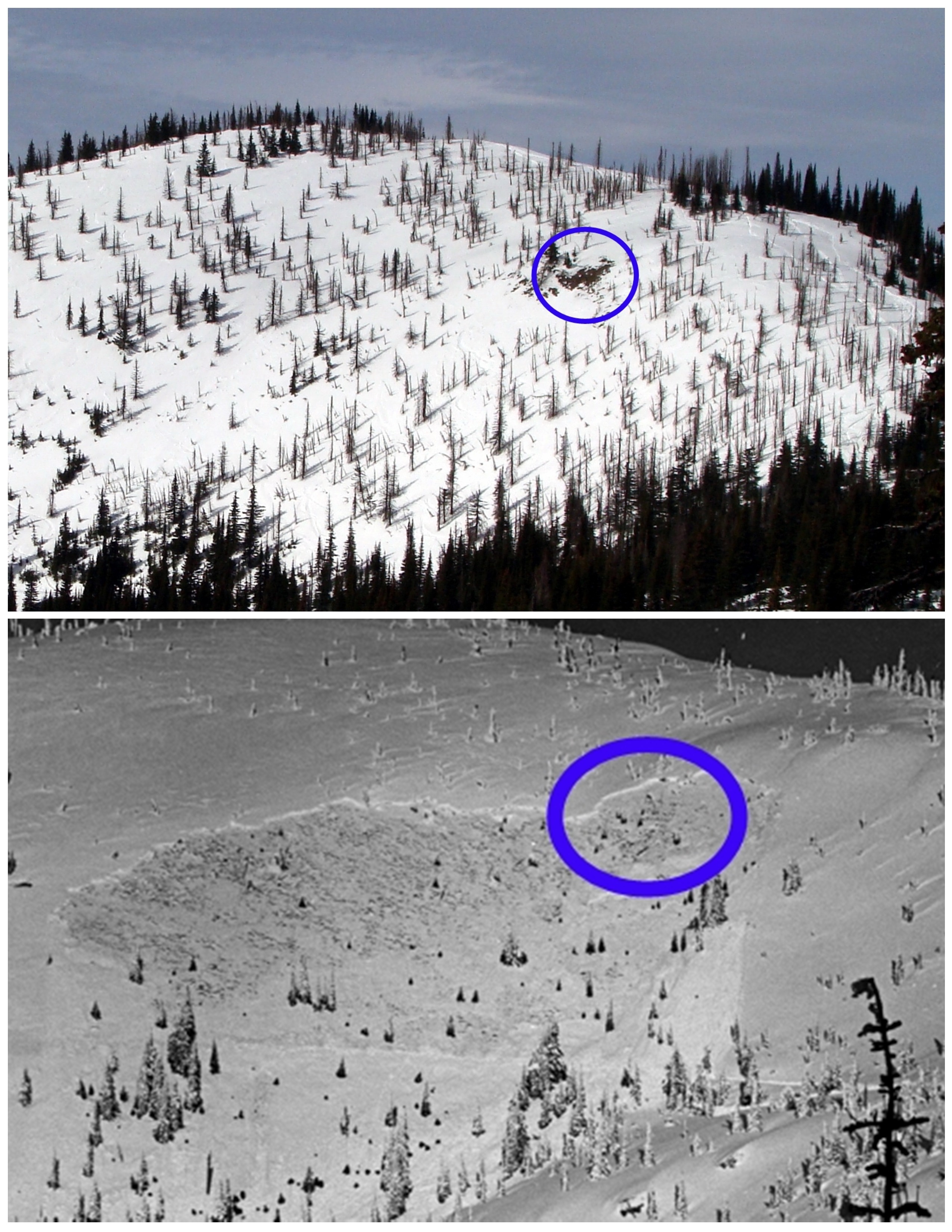
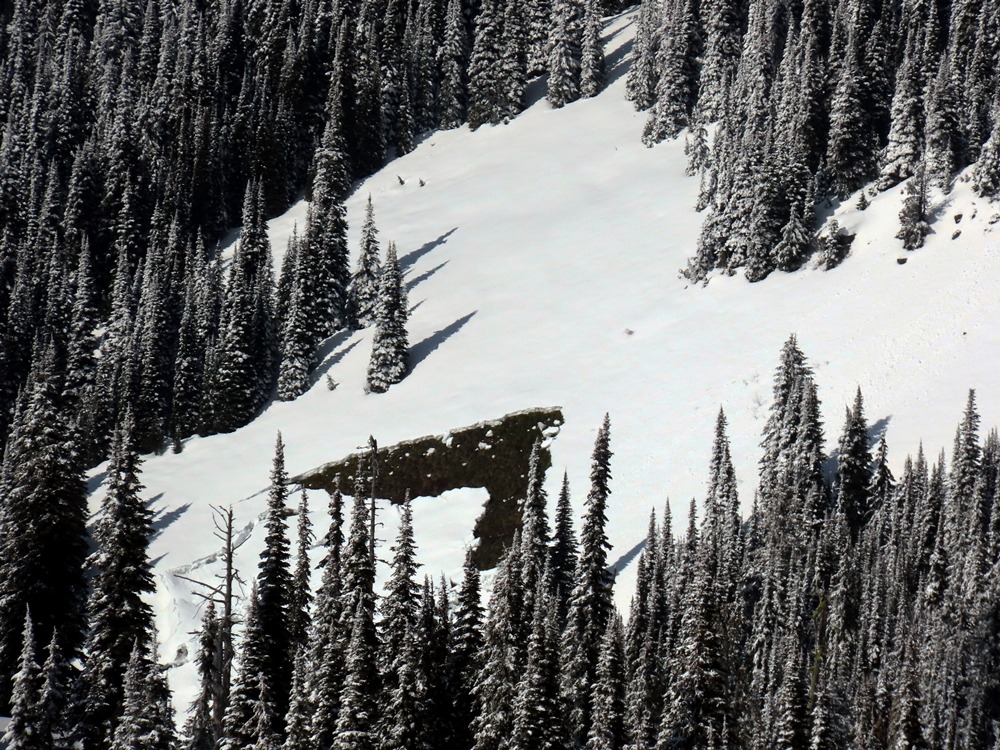
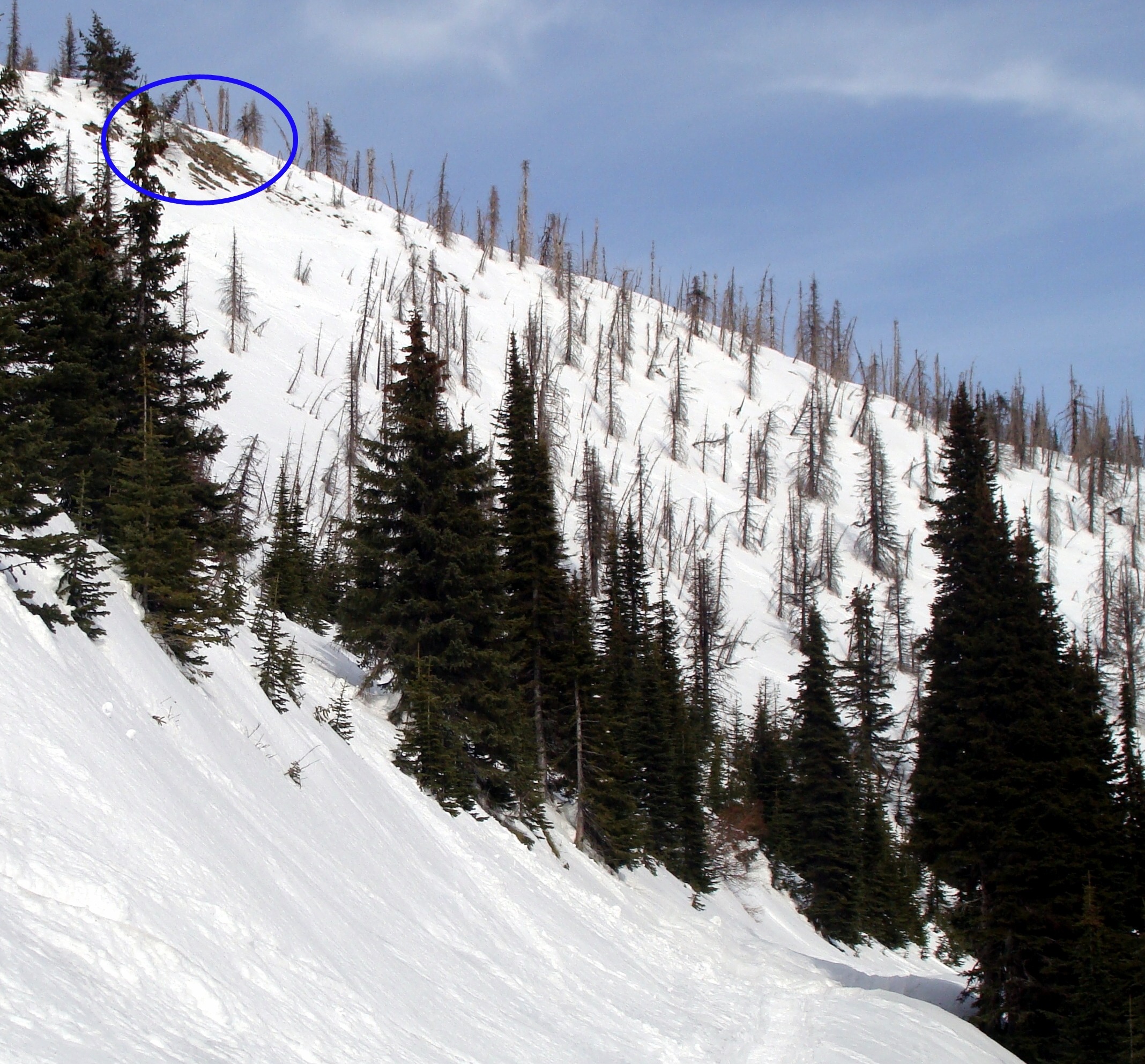
- There is a yawning glide crack to the west of Hellroaring Peak on a southeast aspect at 6100 feet. This crack forms each year as the seasonal snowpack glides downhill over the underlying beargrass.
- No signs of instability. Jumping on northerly aspects did not result in a collapse. However, a snowpit on a northerly slope revealed the poor snowpack structure common across the advisory area.
- This peak receives plenty of use, and today was no different. I probably saw around 10 solo skiers/boarders utilizing the easy access on a weekday with marginal conditions.
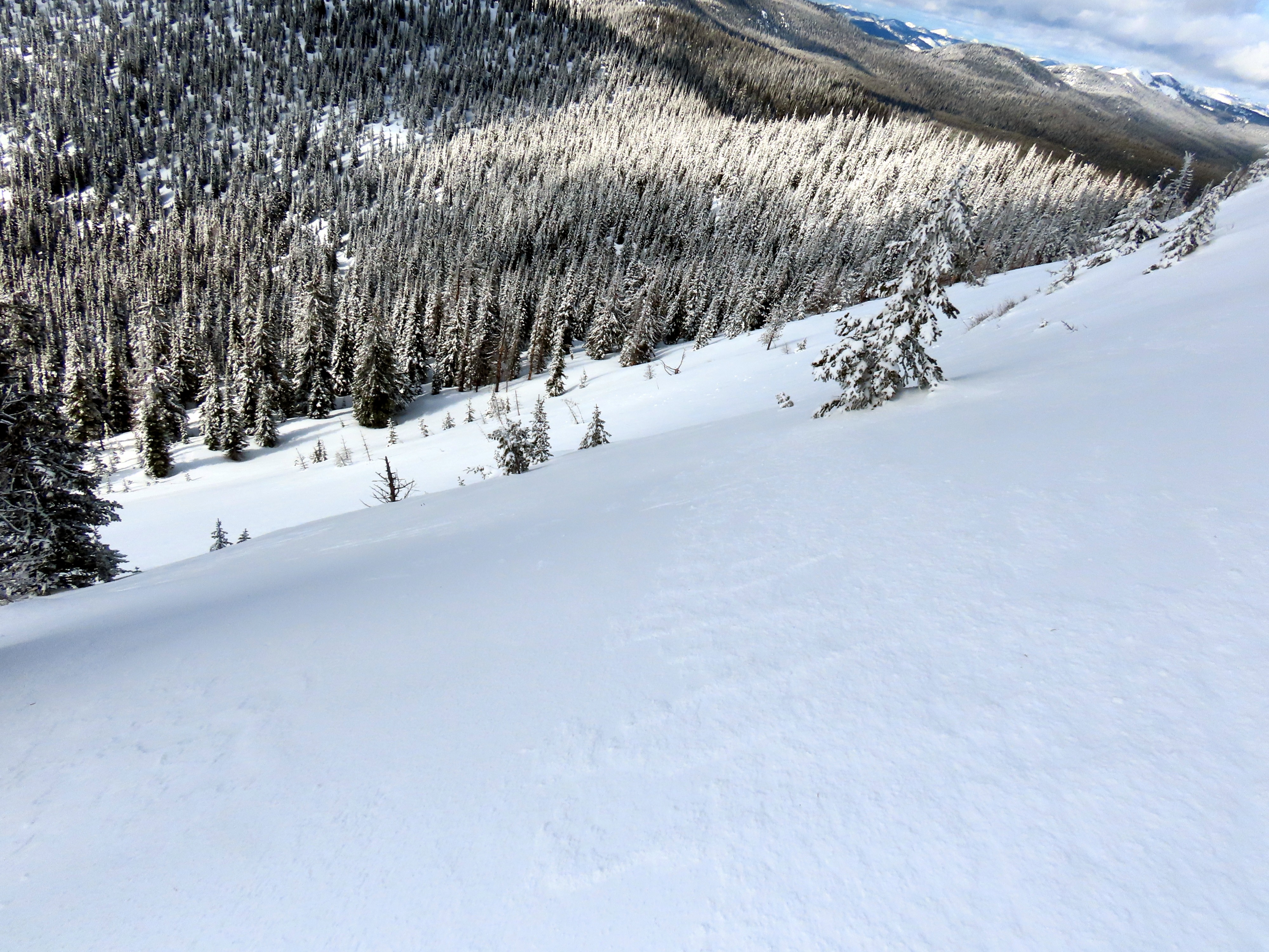
- The top turns were decent with a couple of inches of recent snow on a dense layer of wind effect.
- Once we dropped below the snow line, the snowpack was saturated from recent rain, resulting in punchy conditions.
Cracking beneath my skis in the near-surface wind-affected snow. These did not travel further than a couple of feet.
Weather
- Air Temp
- 25
- Cloud Cover
- broken
- Wind Loading
- none
- Rain Elevation
- 3500
- Recent Snowfall
- 6
- Snow Avail For Transport
- small smounts
Partly sunny skies in the morning transitioned to mostly cloudy skies in the afternoon. The clouds were dark, but no precipitation fell.
Snowpack
North-facing pit: HS=175 cm. The January Drought Layer (down 55 cm) and the 2/14 (down 40 cm) were well preserved in this location. ECTP12 on the 2/14.
Southeast-facing pit: HS=130 cm. The pack consisted of multiple crusts, old wind-slab/dense snow, and weak snow. ECTX. There is a 25cm-thick crust (P to K hard) at 40 cm depth. No surface hoar was identified.