
Quick report
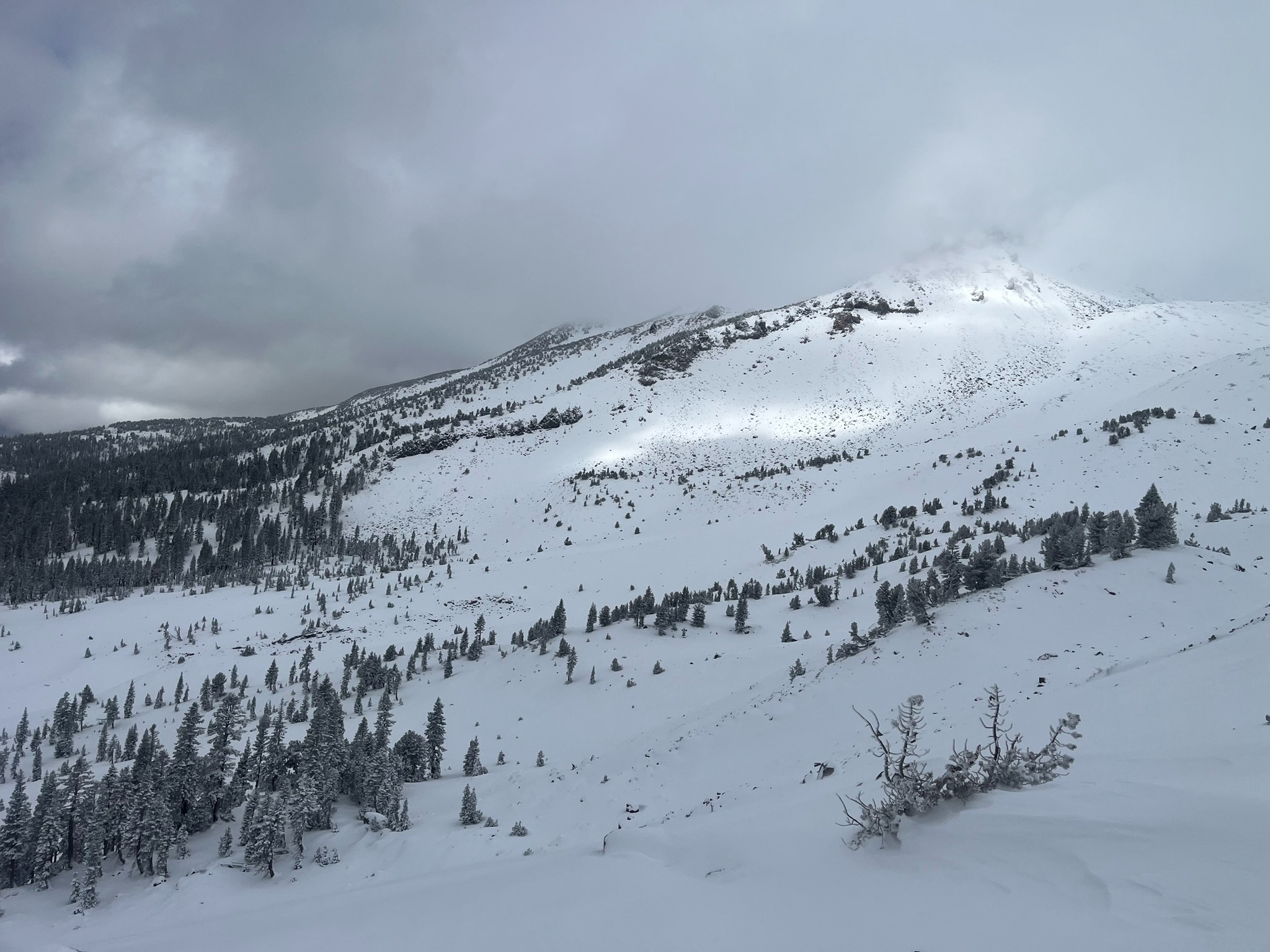
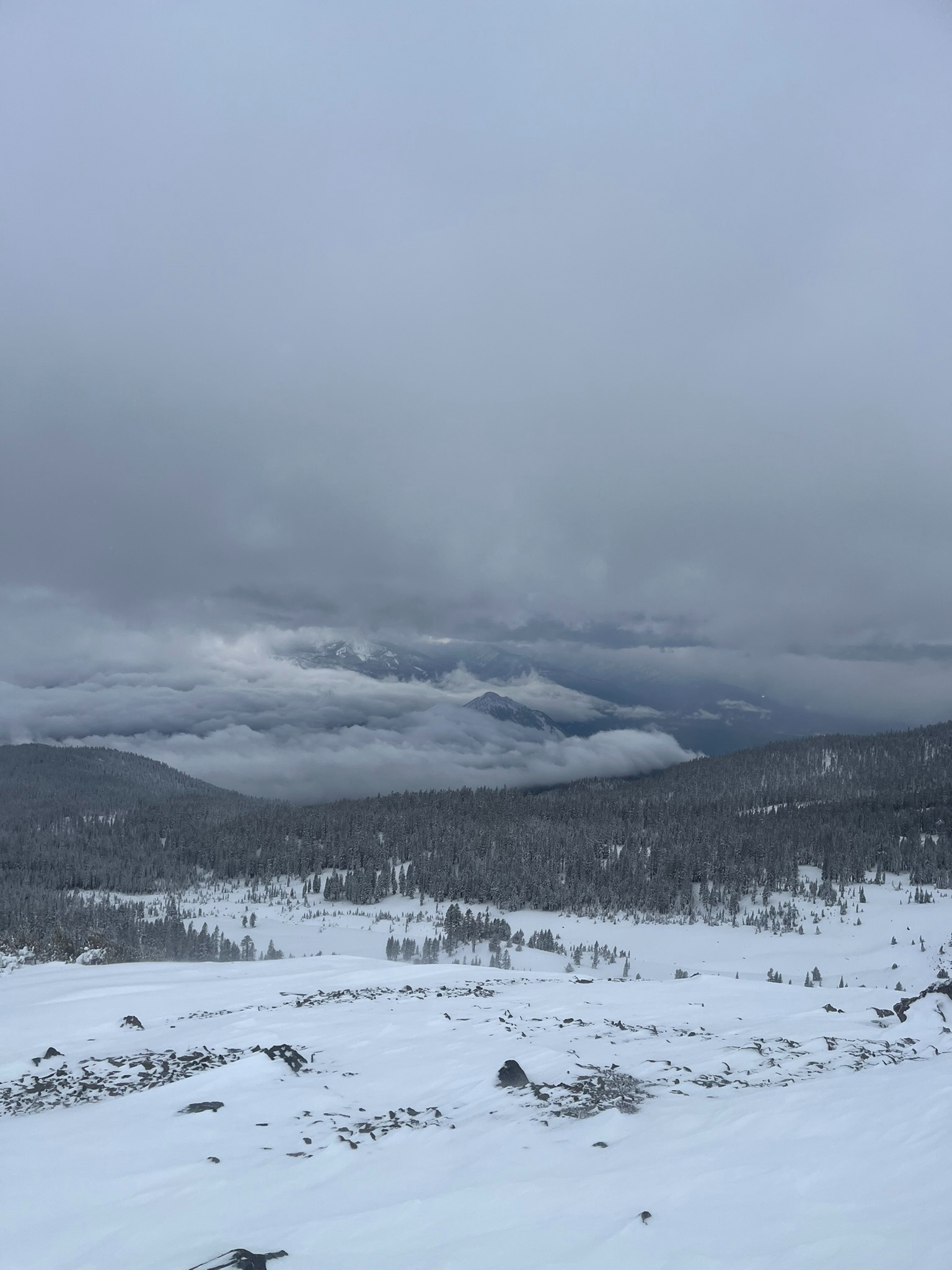
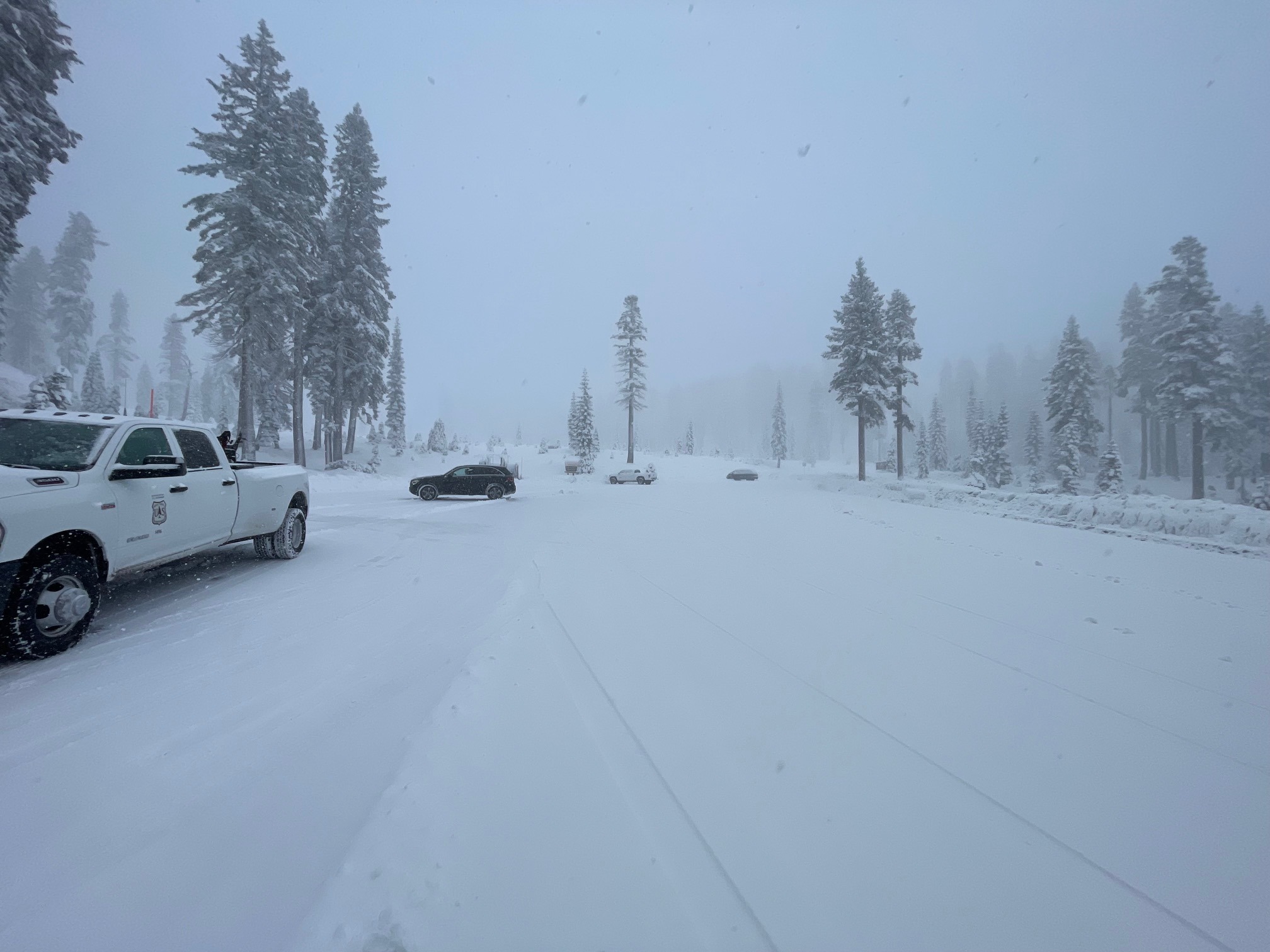
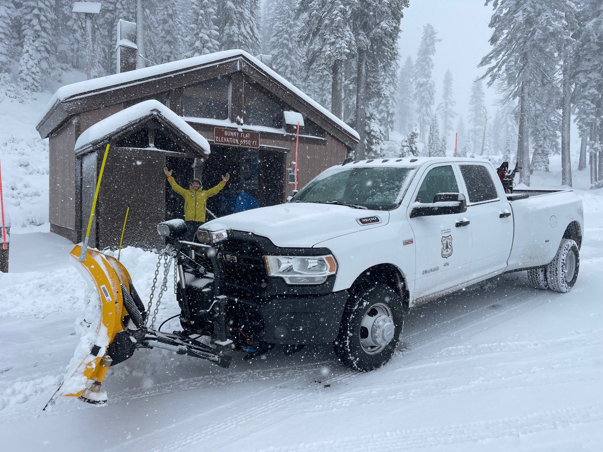
Recent new snow has improved coverage, but it's still thin. Small to medium-sized wind drifts along ridges and bowls have been observed, but no avalanches. Visibility has been difficult the past two days due to winter weather: snow, rain, wind, fog, clouds. The weather is trending warmer and clear for the foreseeable future. The slow trickle of winter will shut off. Time to start dancin' in the streets!
Weather
- Air Temp
- 22
- Cloud Cover
- obscured
- Wind Loading
- moderate
- Rain Elevation
- ~5,000 feet
- Recent Snowfall
- 6-12 inches
- Snow Avail For Transport
- small smounts
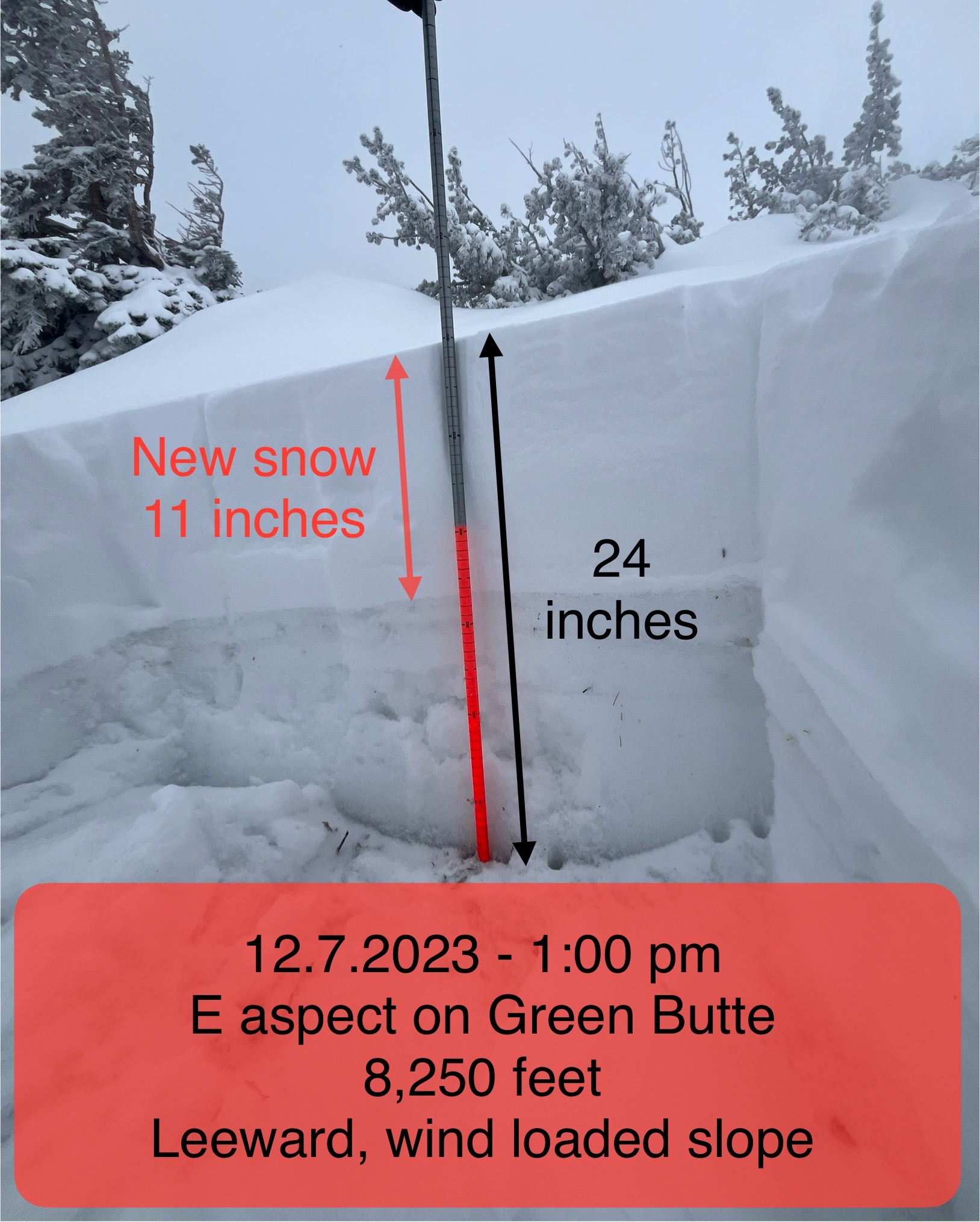
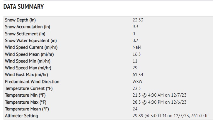
Past 24 hours: New snow at Old Ski Bowl weather station near treeline (NTL) measures 12 inches. Total height of snow 24 inches. Temperatures have ranged from 21 to 29 degrees F on Mount Shasta NTL. Wind has blown primarily out of the WSW, averaging 16 mph with gusts to 61 mph. Two waves of winter weather have impacted the forecast area the past two days, December 6th and 7th. Temperatures started warm and have gradually cooled off. Little to no snow exists below 5,500 feet
Snowpack
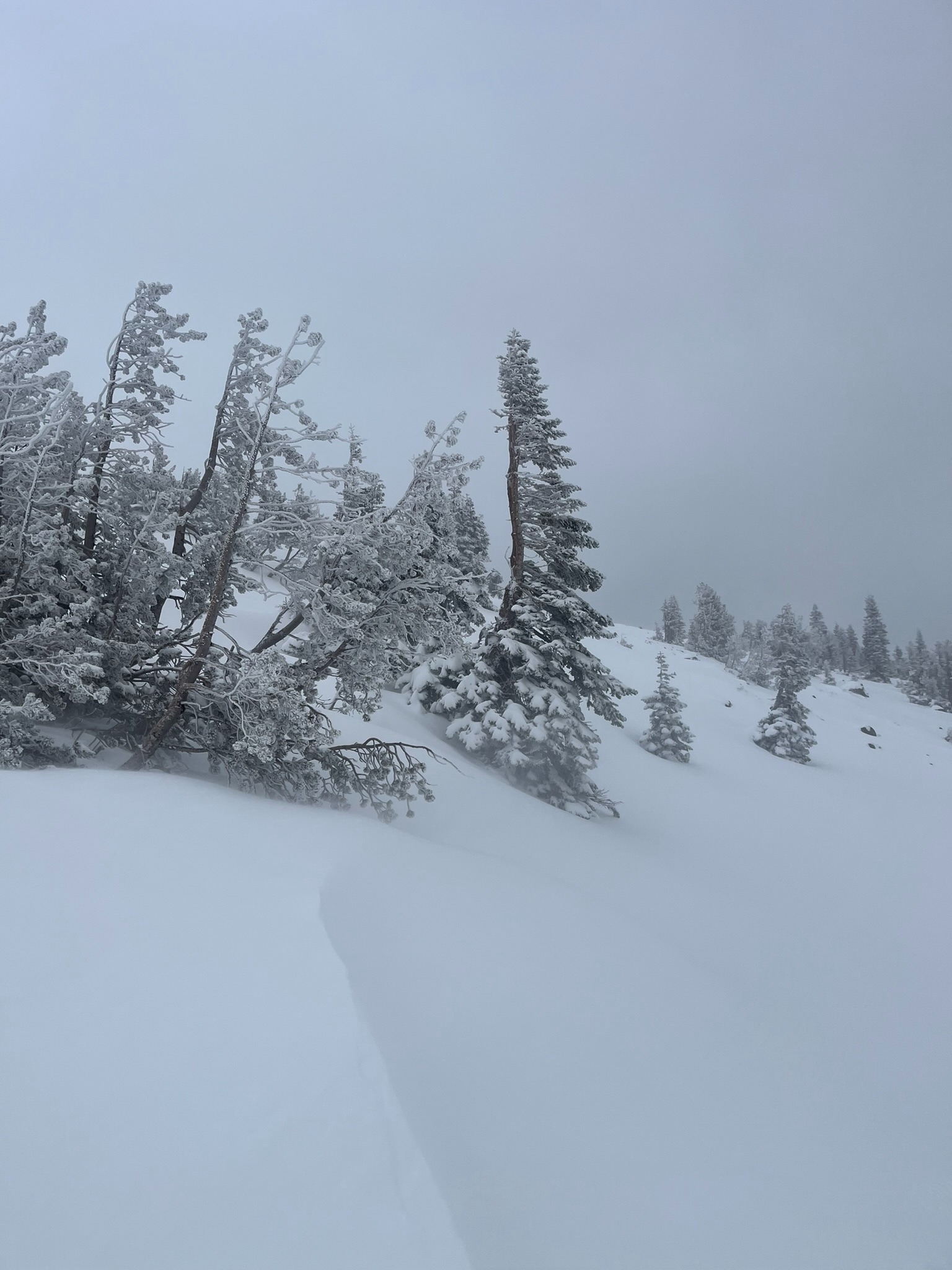
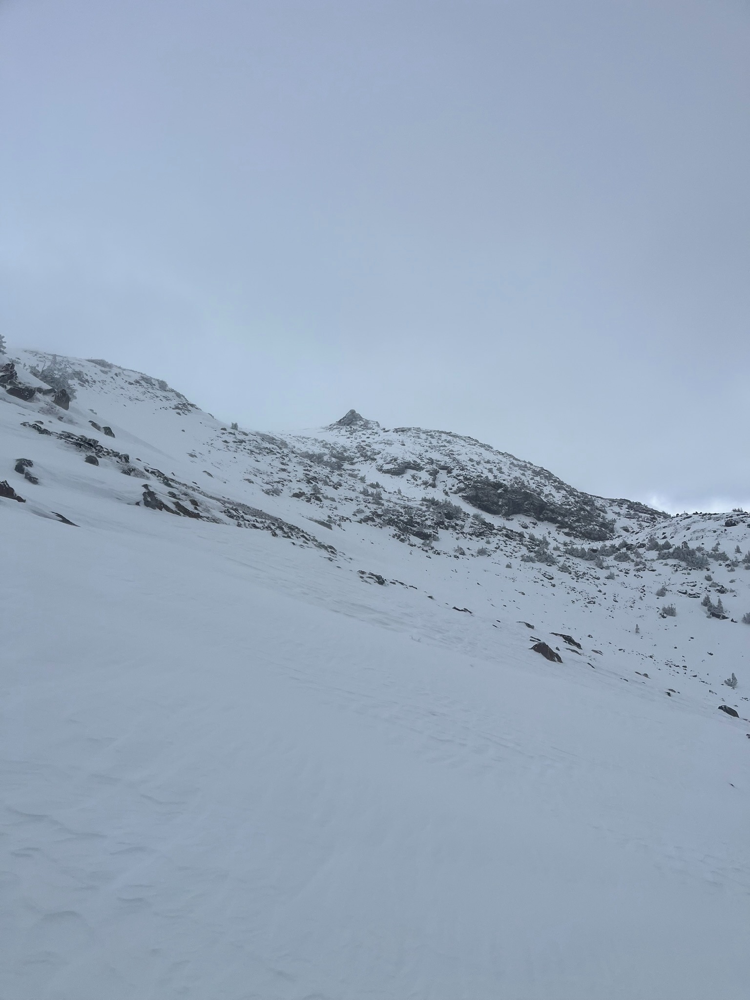
Skiing and/or riding is still dicey as heck. Yes, the slow trickle of winter weather has improved conditions, but it's still thin out there. New snow amounts have been lackluster, but we'll take it. Easterly aspects are experiencing wind loading, near and above treeline. Small to medium-sized drifts crack underfoot, but we've yet to see any actual wind slab avalanche evidence...just clues. Many earthly objects are anchoring current snow in place
Avalanche
No avalanches were observed. Visibility was difficult