
Quick report
Local members of the public provided the following observation:
- Light wind
- Mostly cloudy and obscured skies
- Severe rain runnels and breakable crust below 7,000 feet
- Supportable crust above 7,000 feet
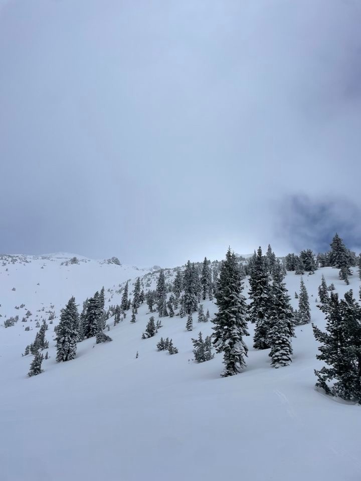
- Good skiing above 8,200 feet
- About 2 inches of new, drier snow above the melt-freeze crust
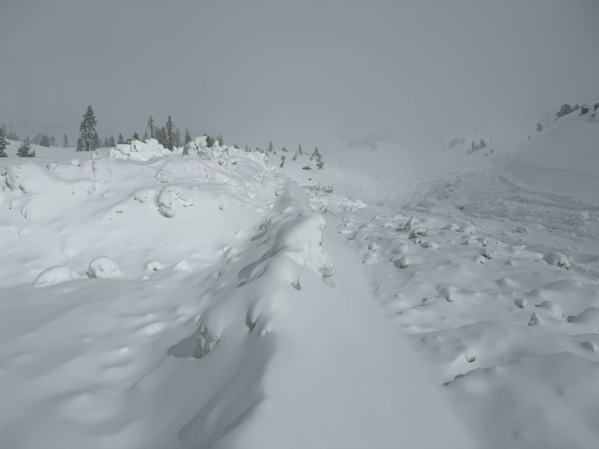
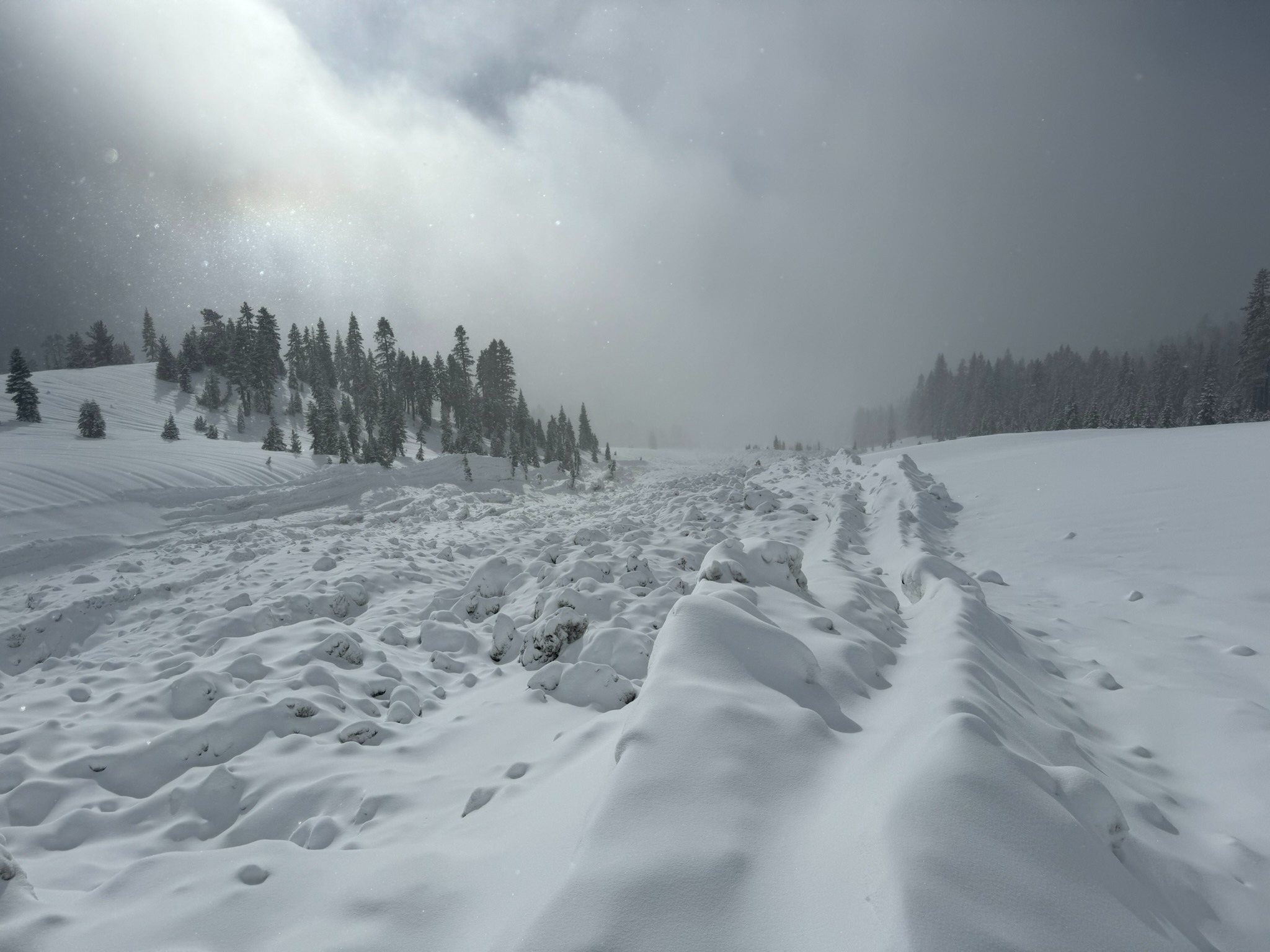
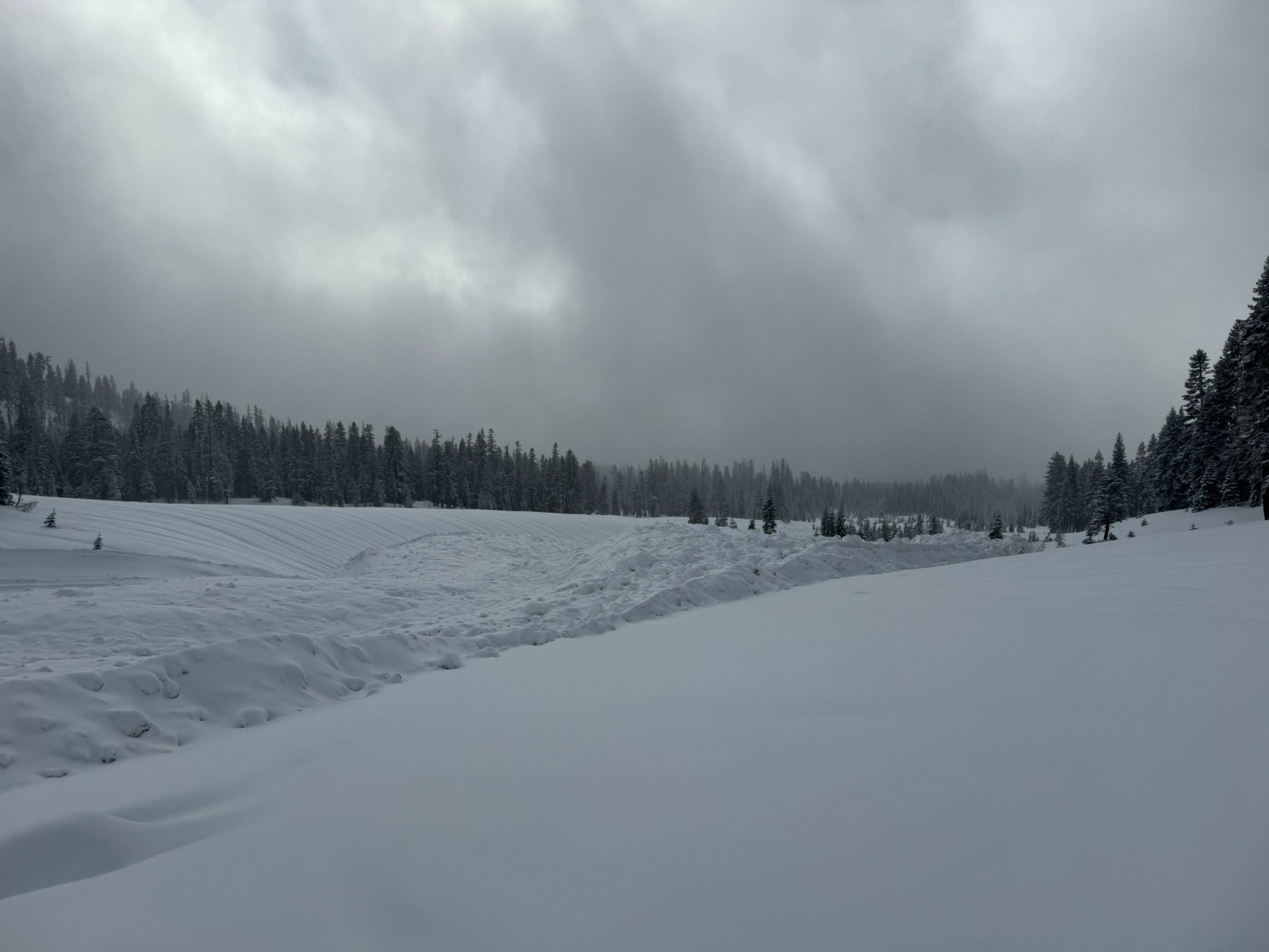
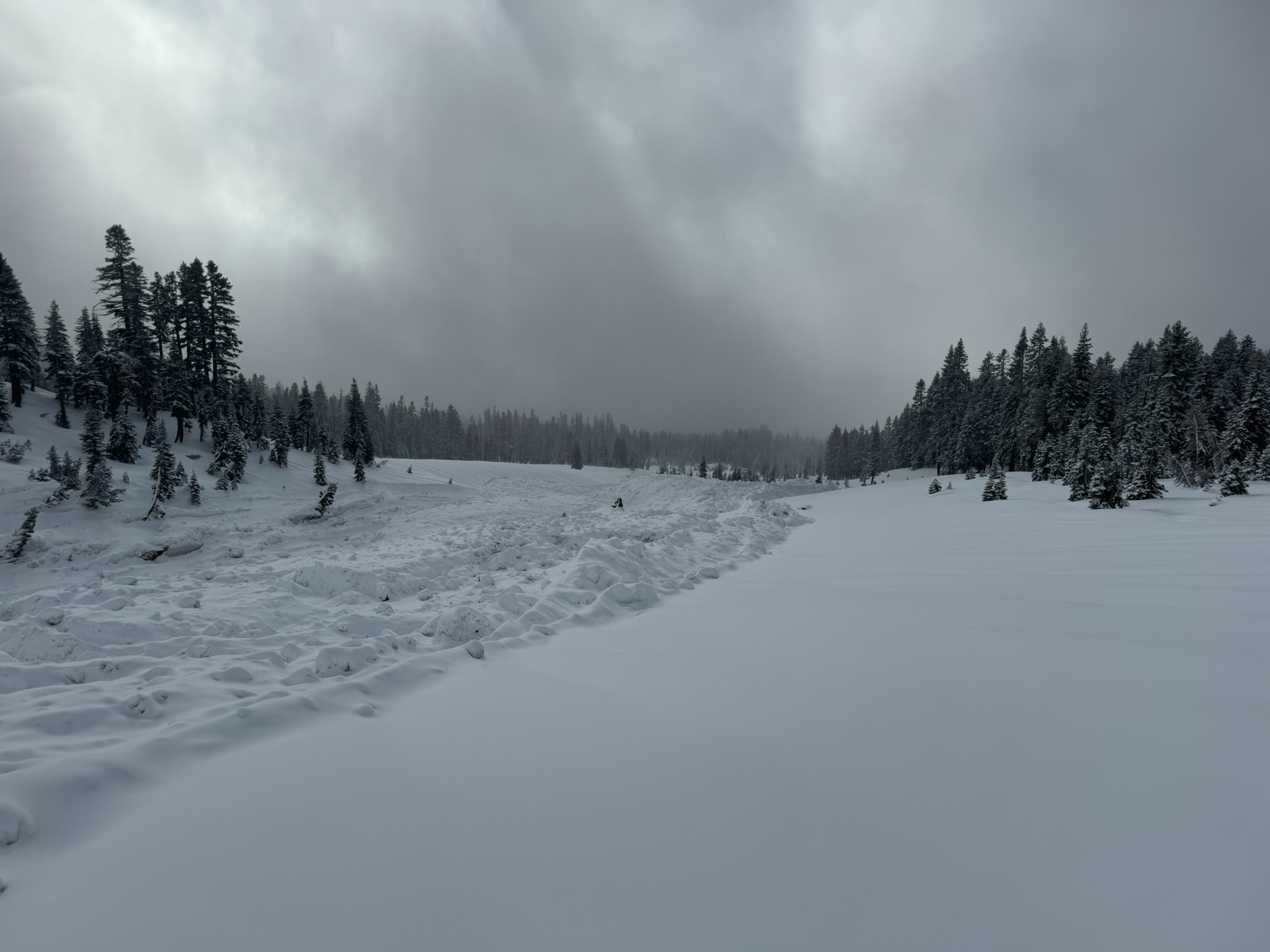
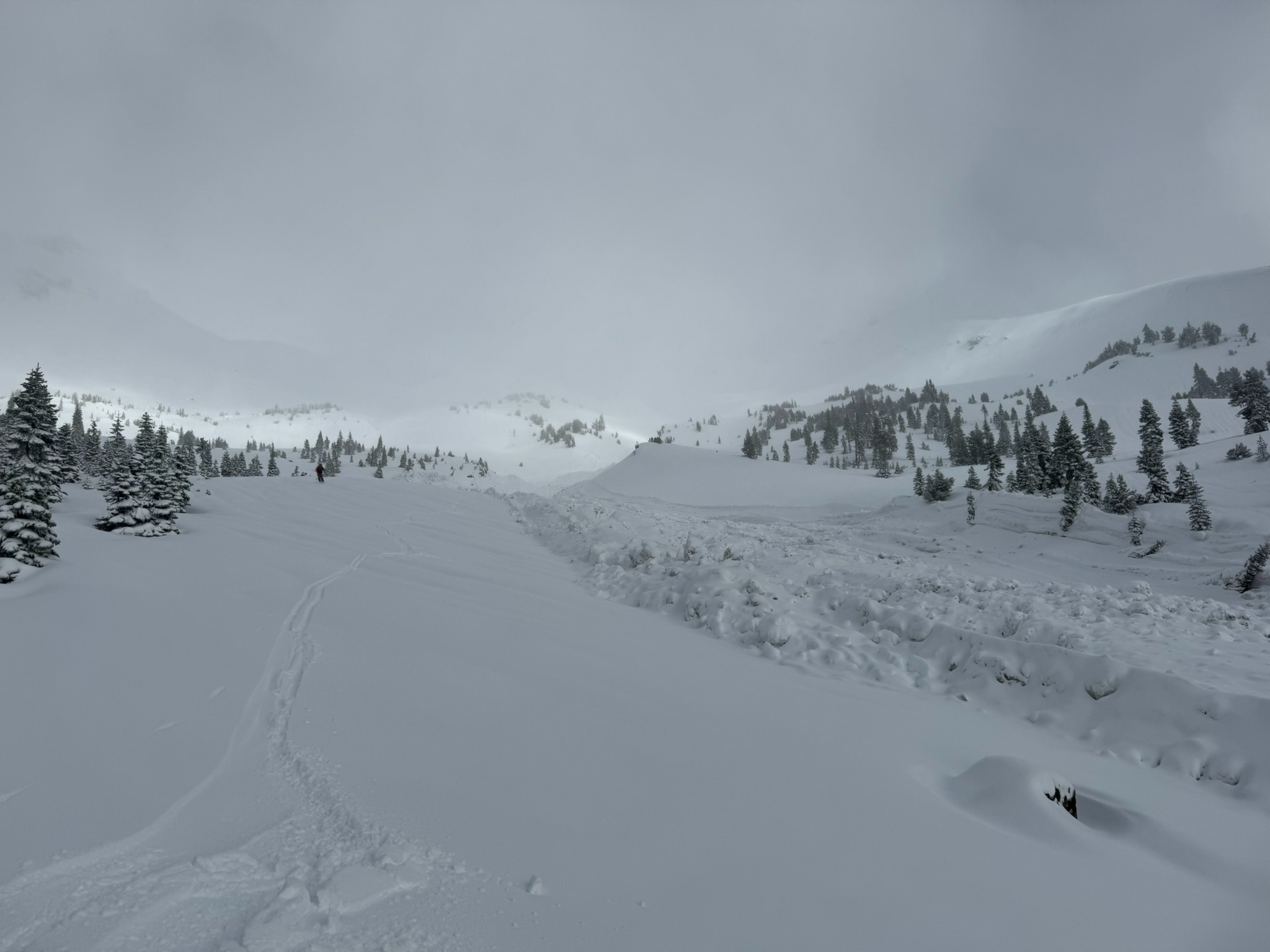
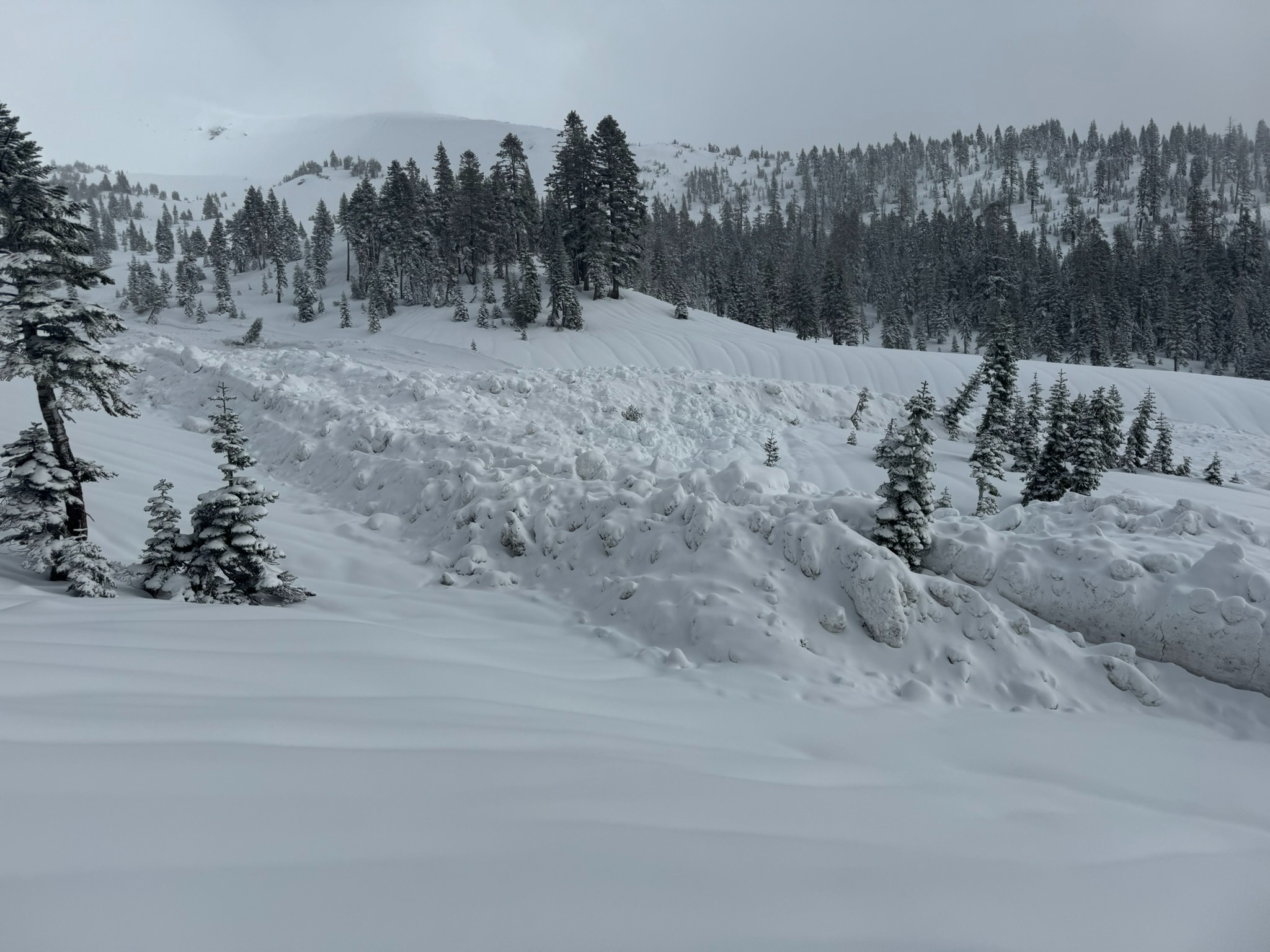
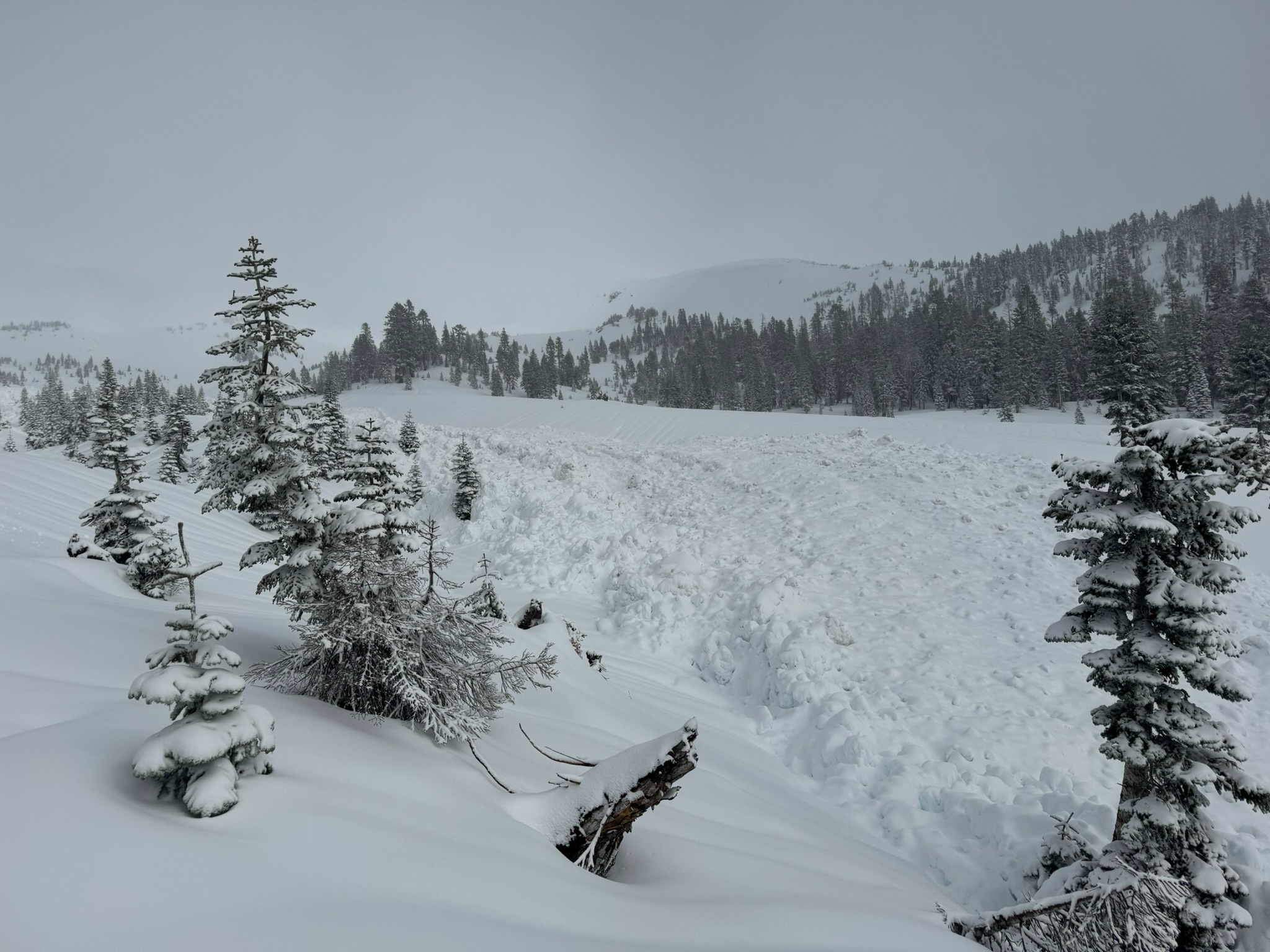
- Estimated one-day old wet slab avalanche (see attached)
- No cracking, collapsing, or active wind loading observed
Weather
- Cloud Cover
- broken
- Wind Loading
- previous
- Snow Avail For Transport
- small smounts
Avalanche
- Size
- D3 R3
- Type
- WS
- Aspect
- W
- Trigger
- N
- Elevation
- 9500 ft
Public Submission: Low visibility prevented observers from seeing the avalanche's starting zone. As such the primary aspect, elevation, and size are rough estimations. This natural avalanche likely occurred mid-day yesterday (11/23/2024) as several inches of rain fell onto the fresh load of snow from this week's atmospheric river. The wet slab avalanche ran down to about 7,500 feet where it left debris piles up to 12 feet high in an 800 foot long deposition zone.