
Tuckerman Ravine between Left Gully and Chute
Quick report
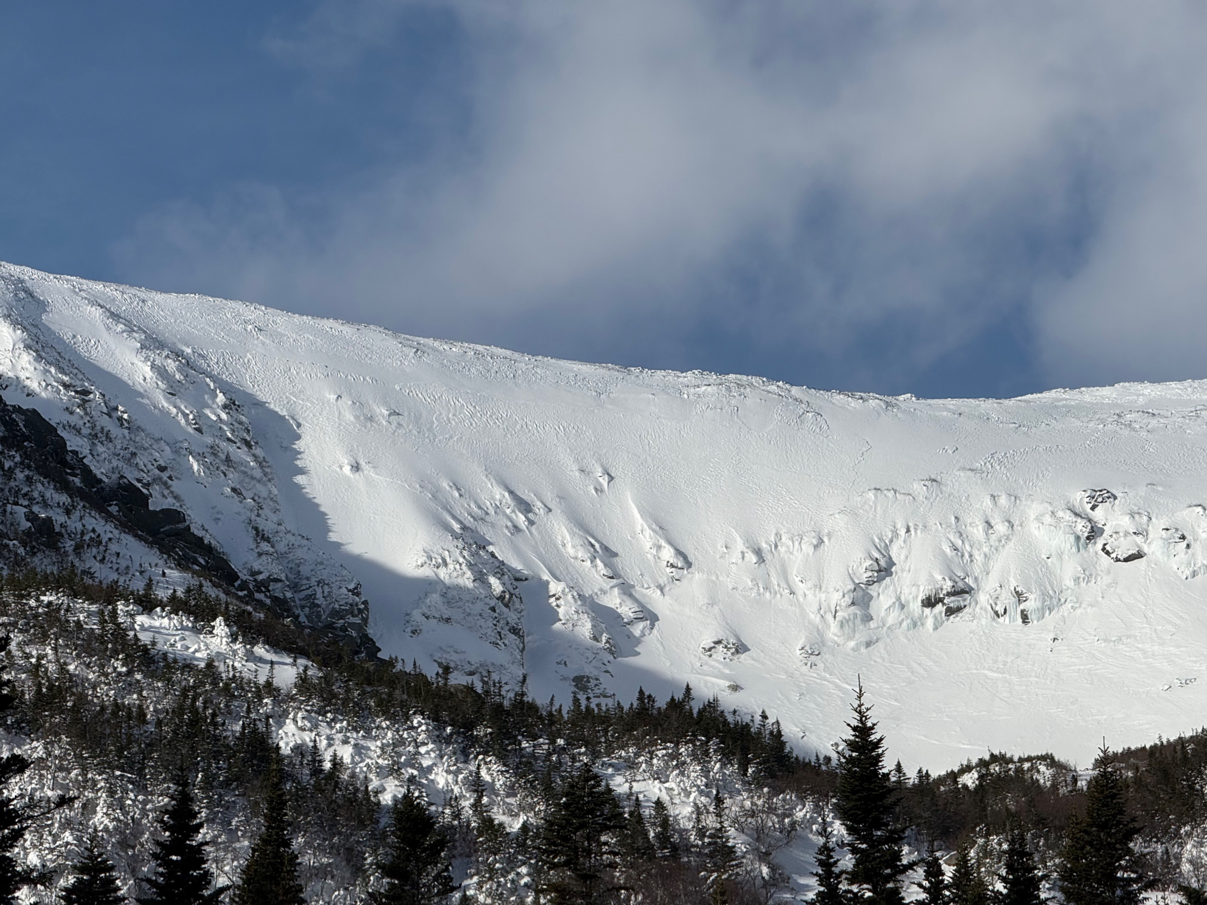
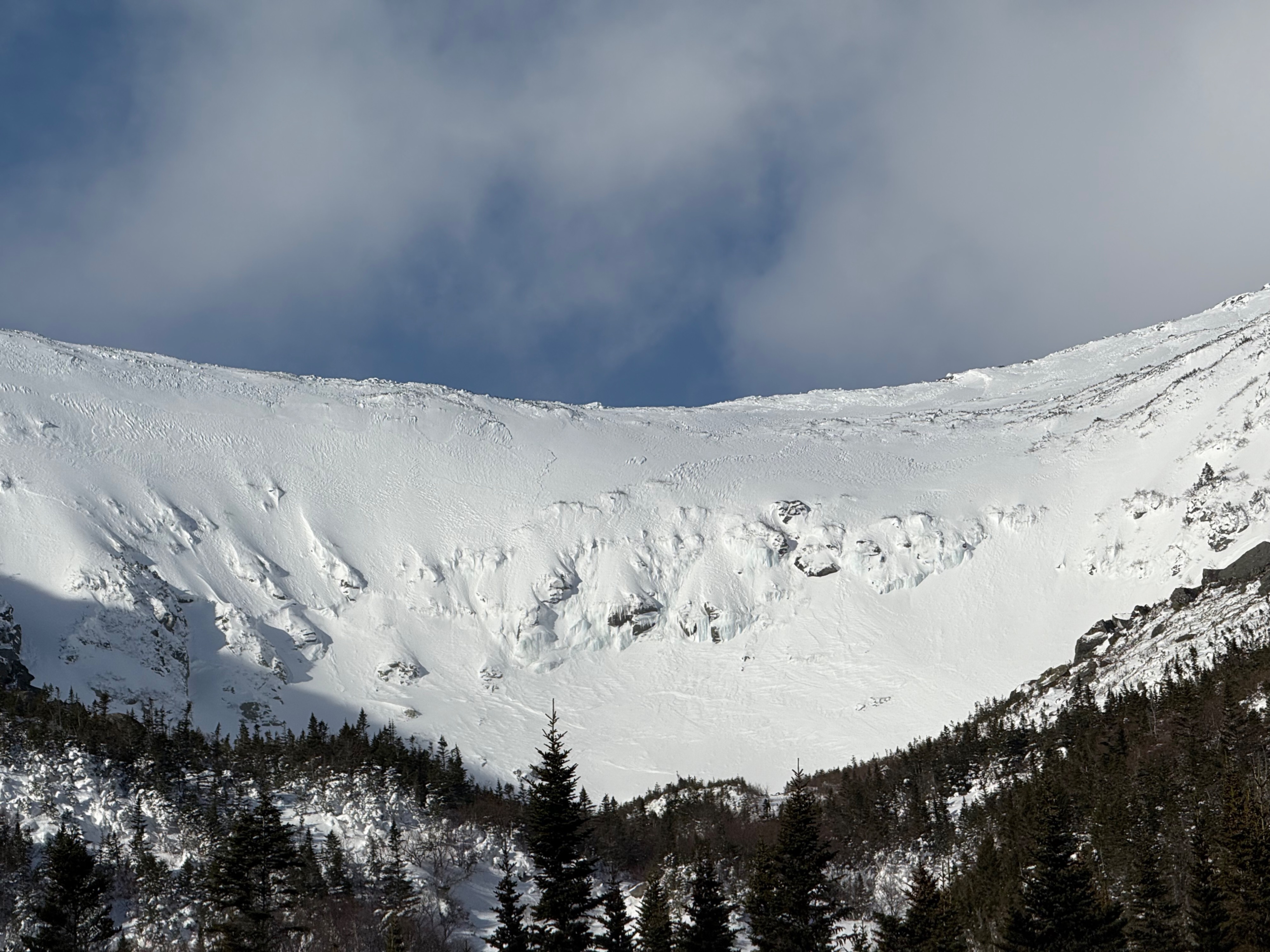
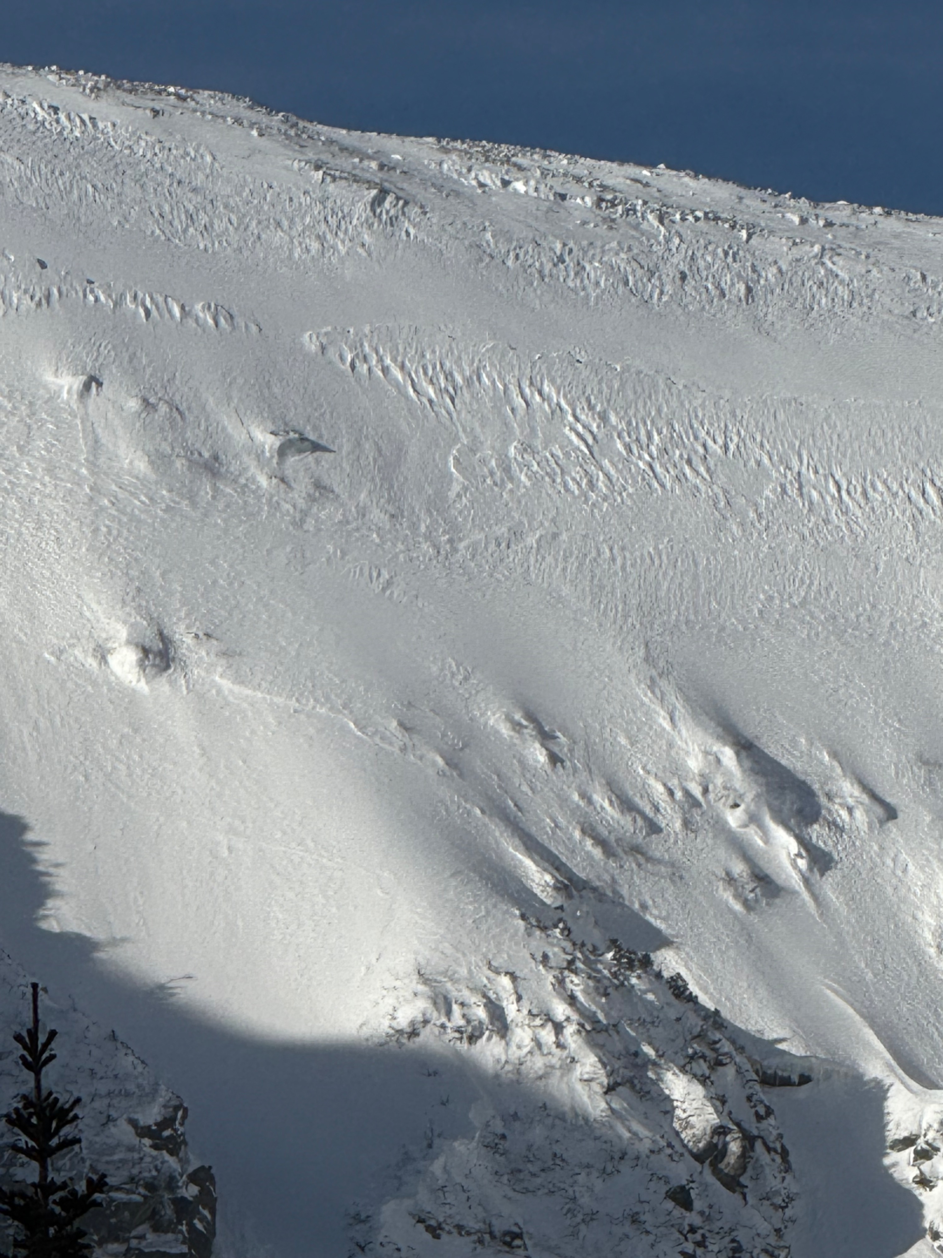
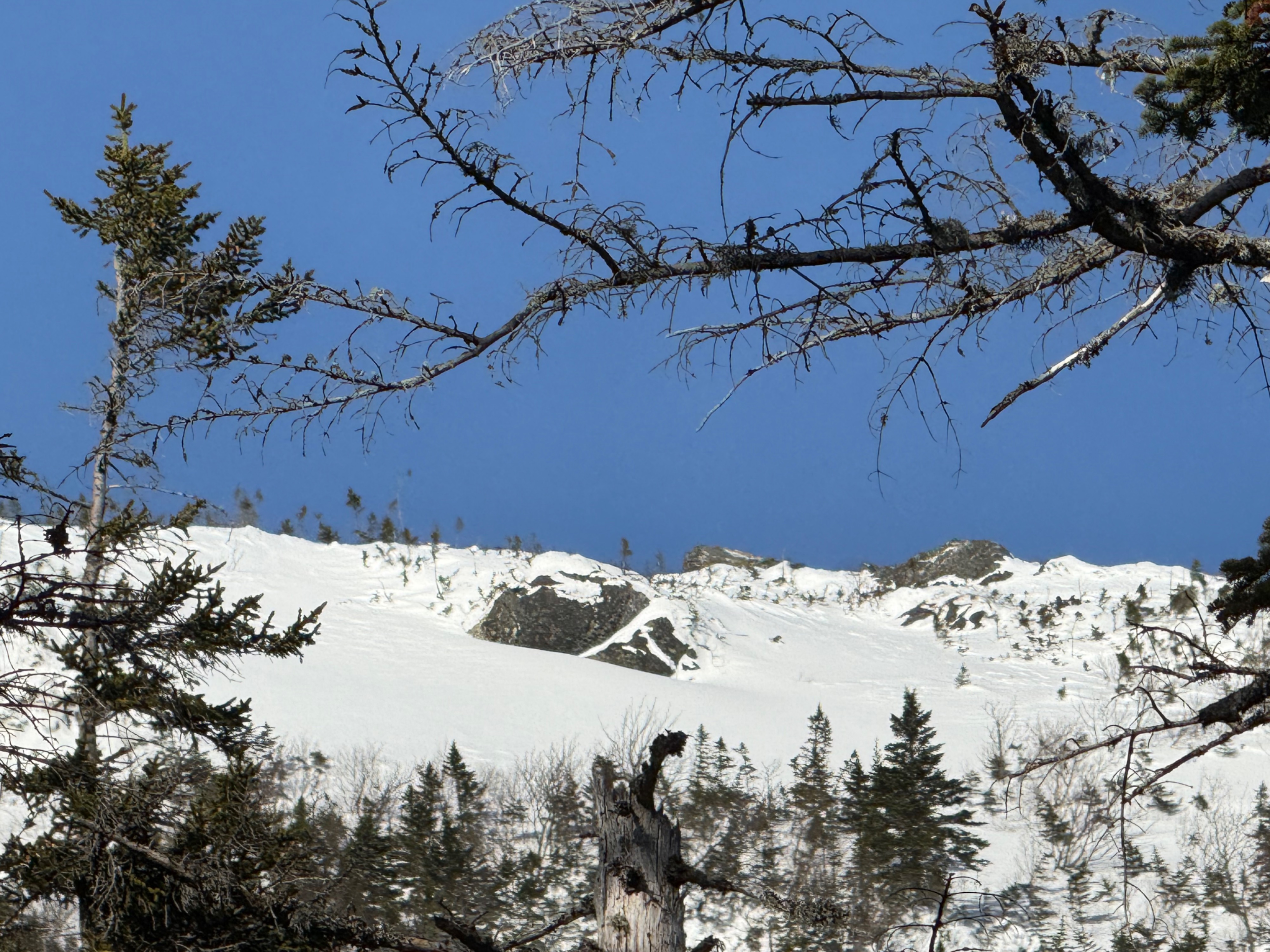
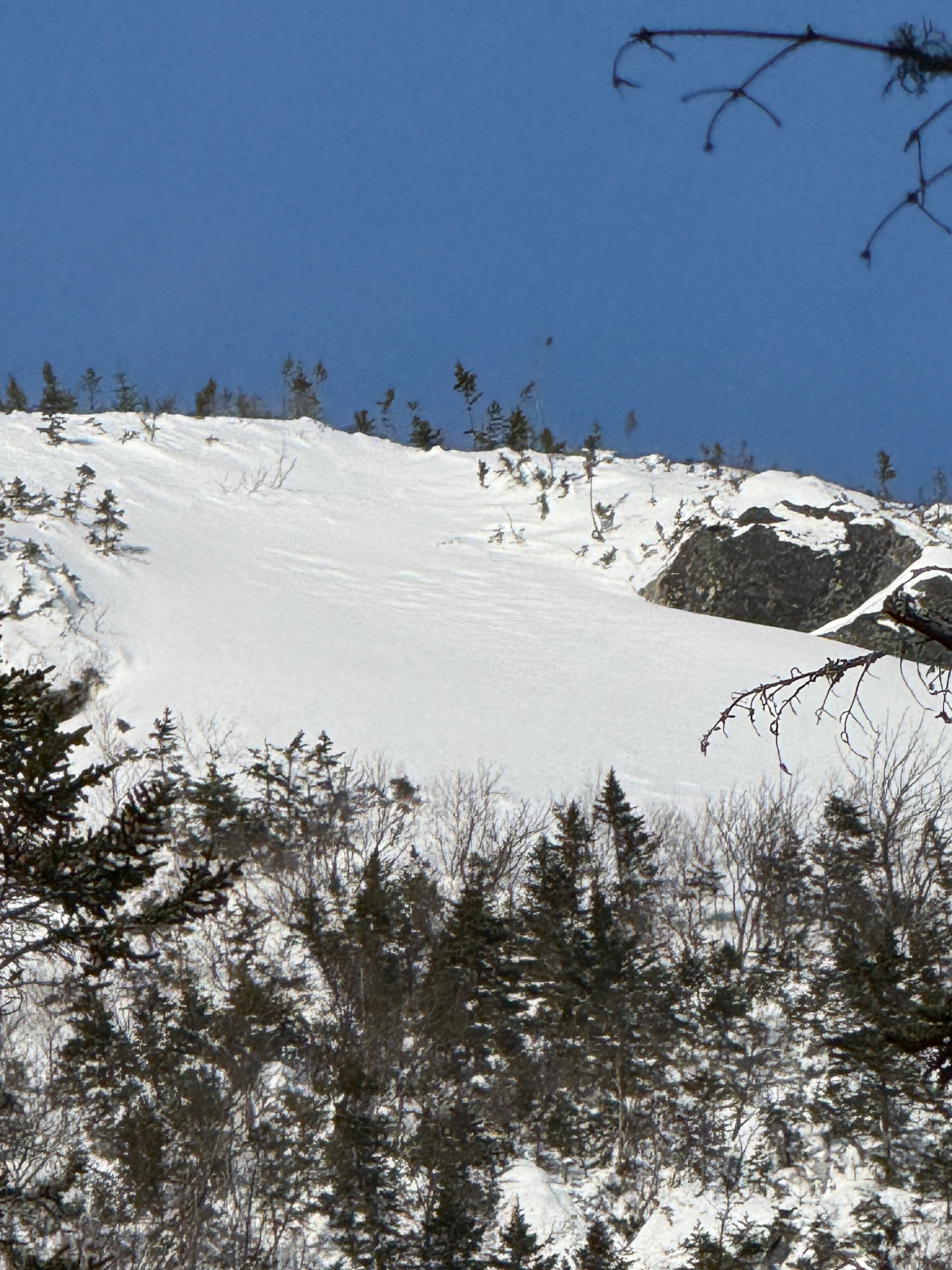
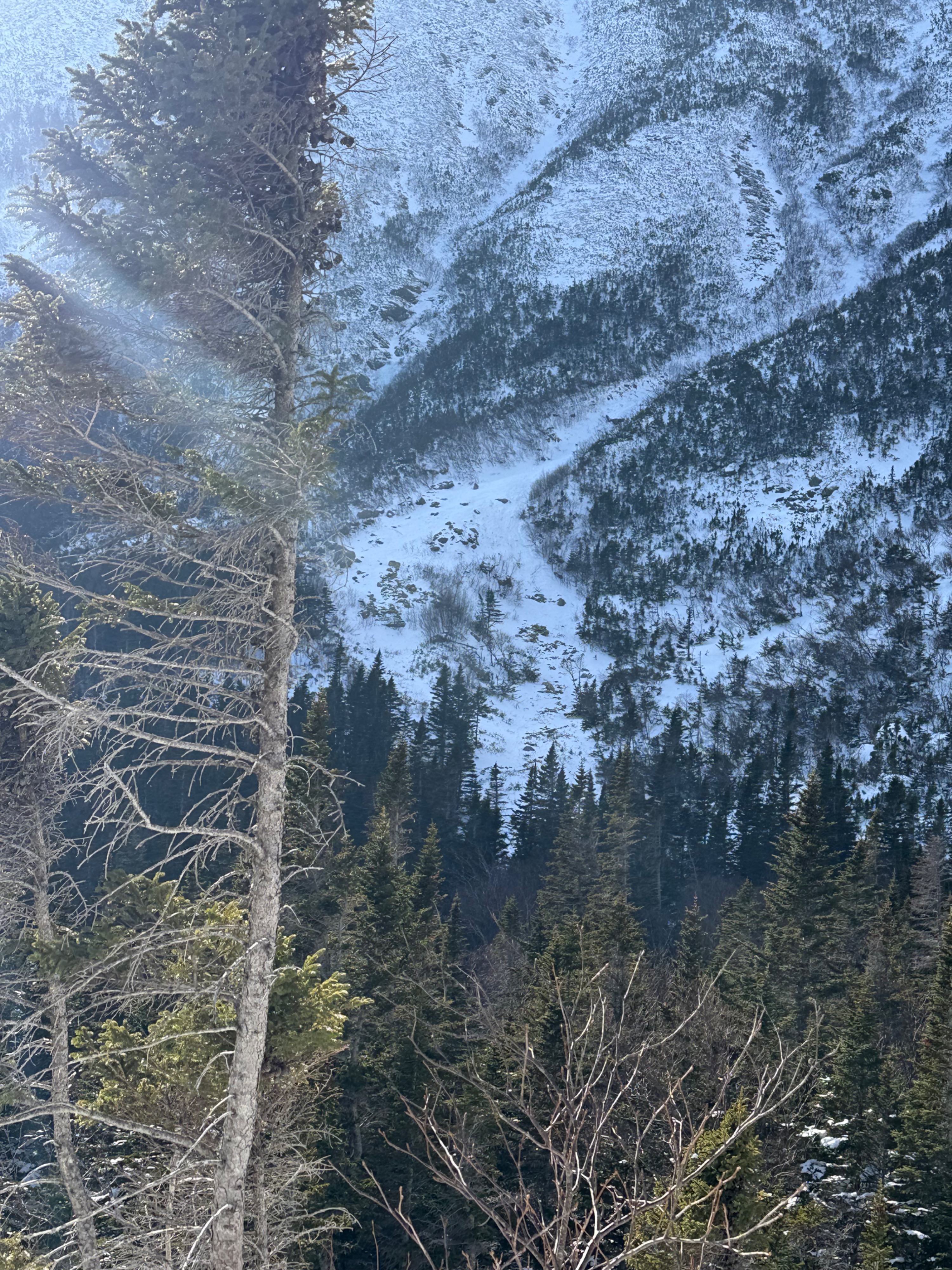
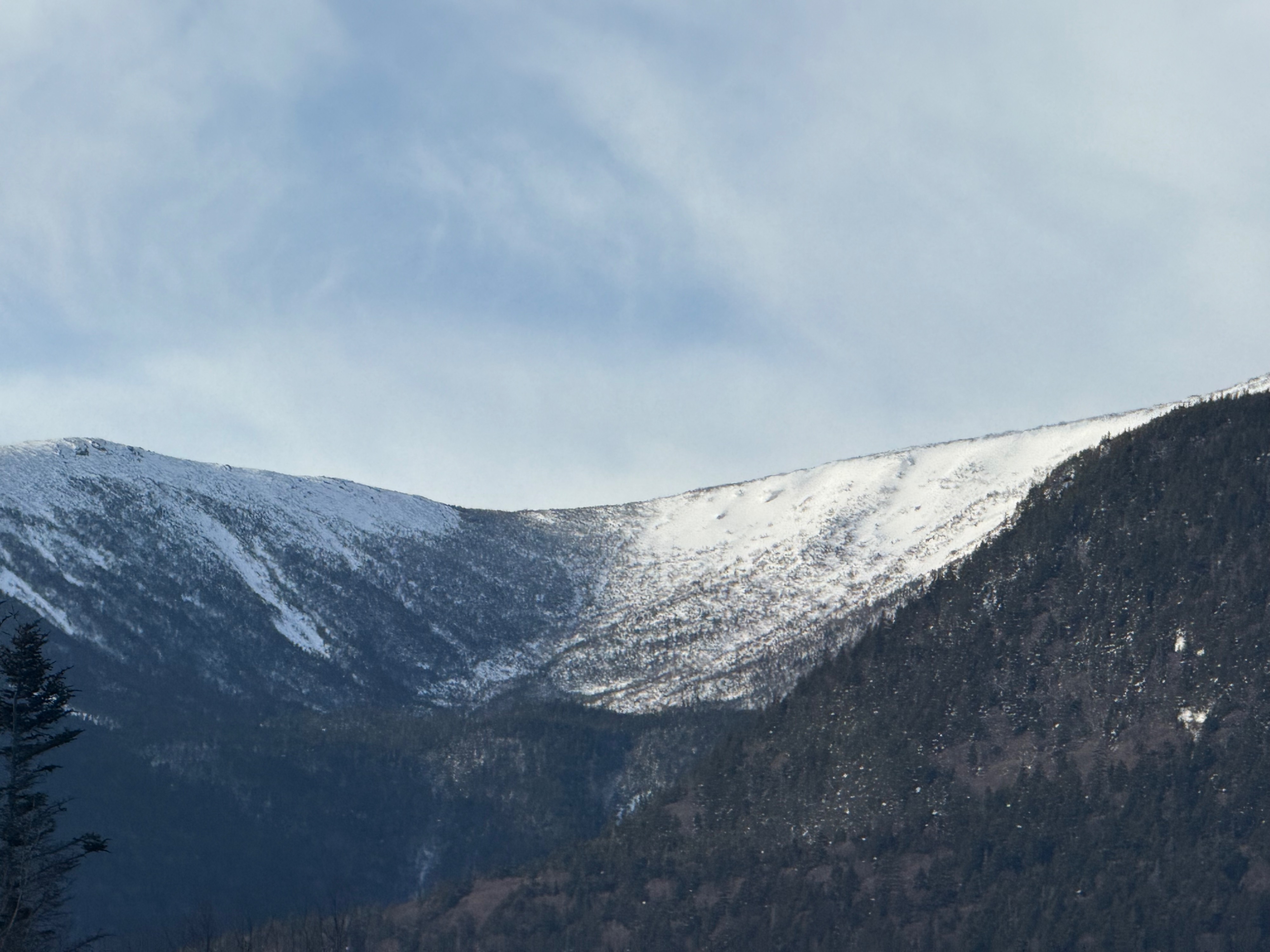
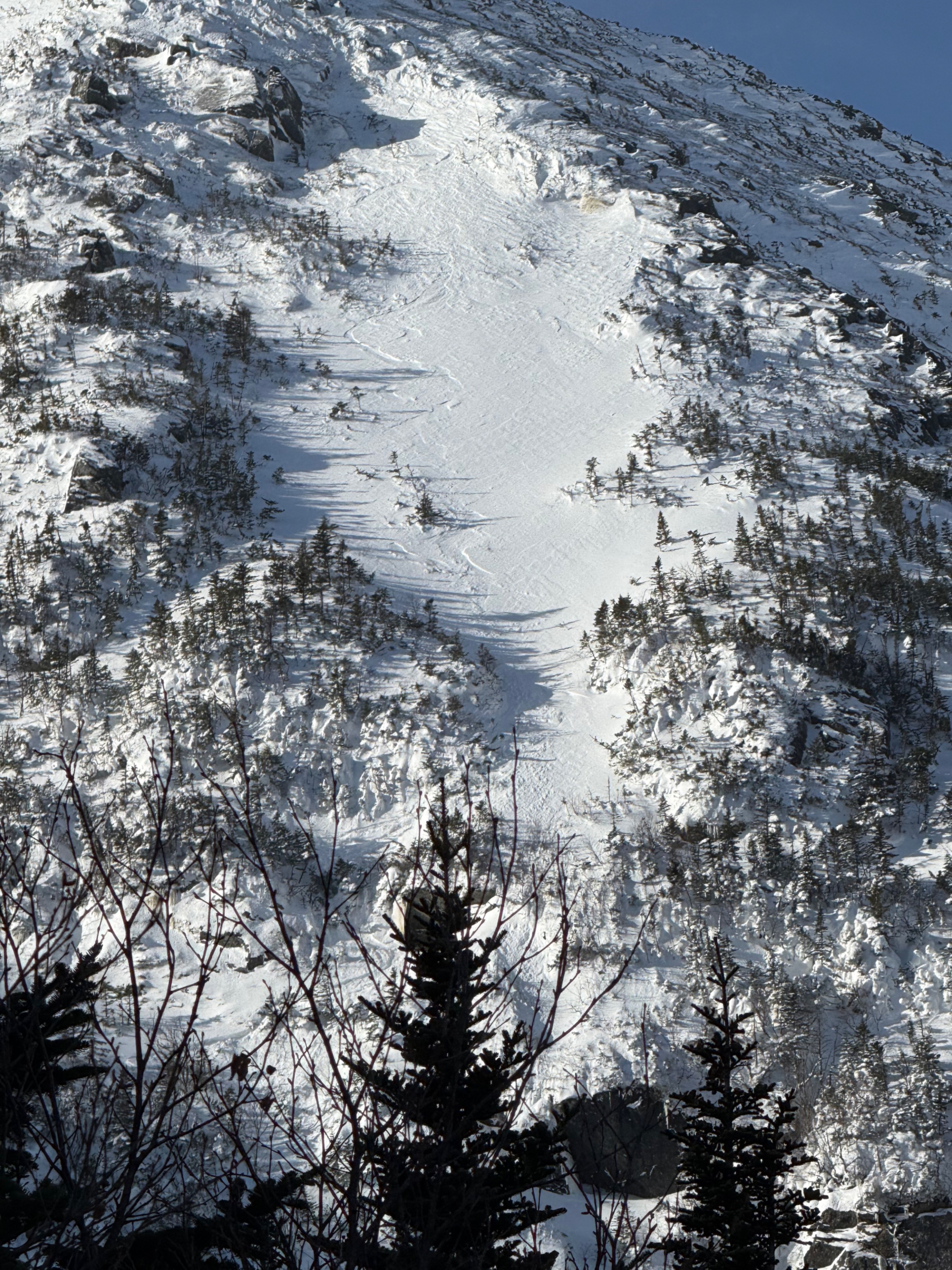
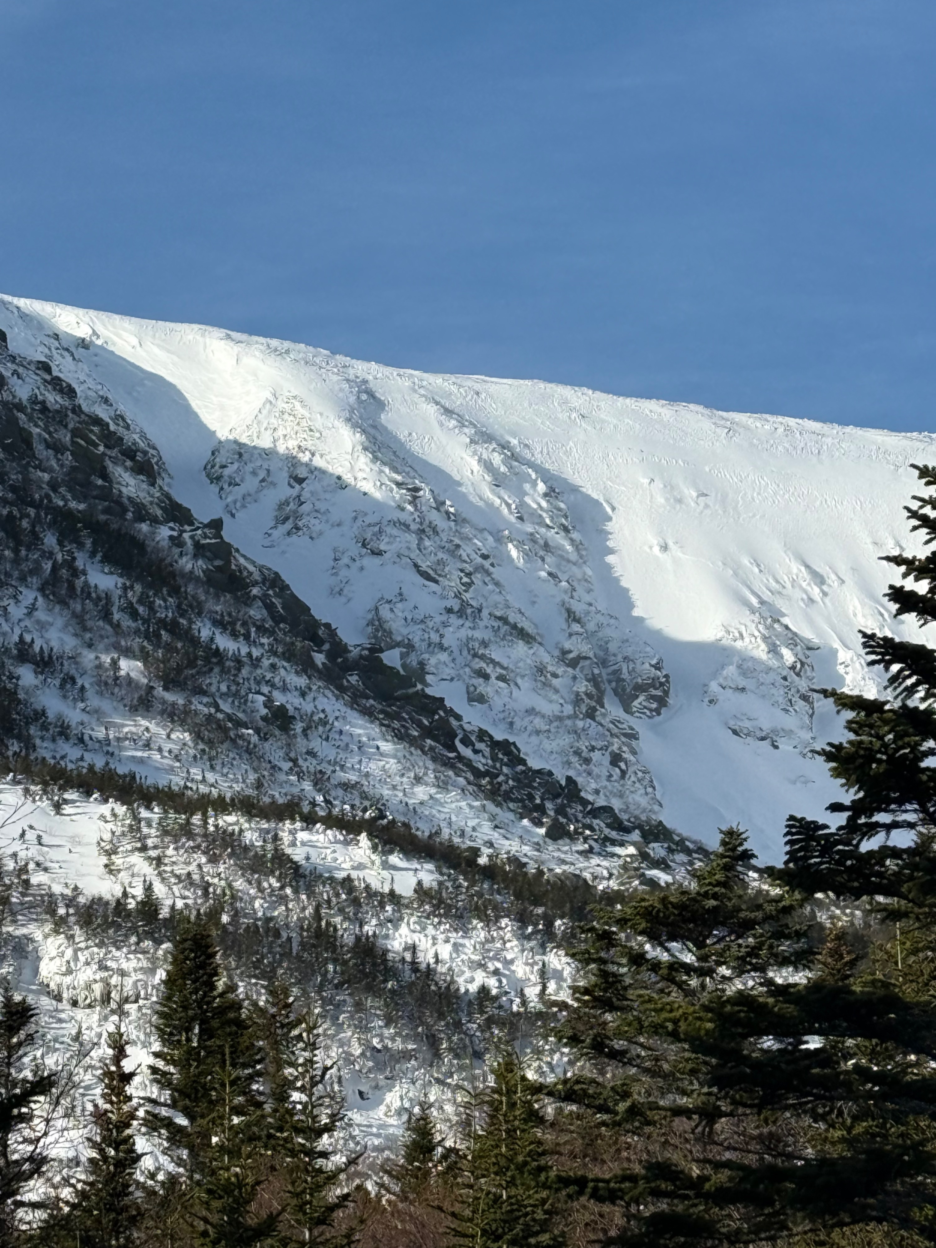
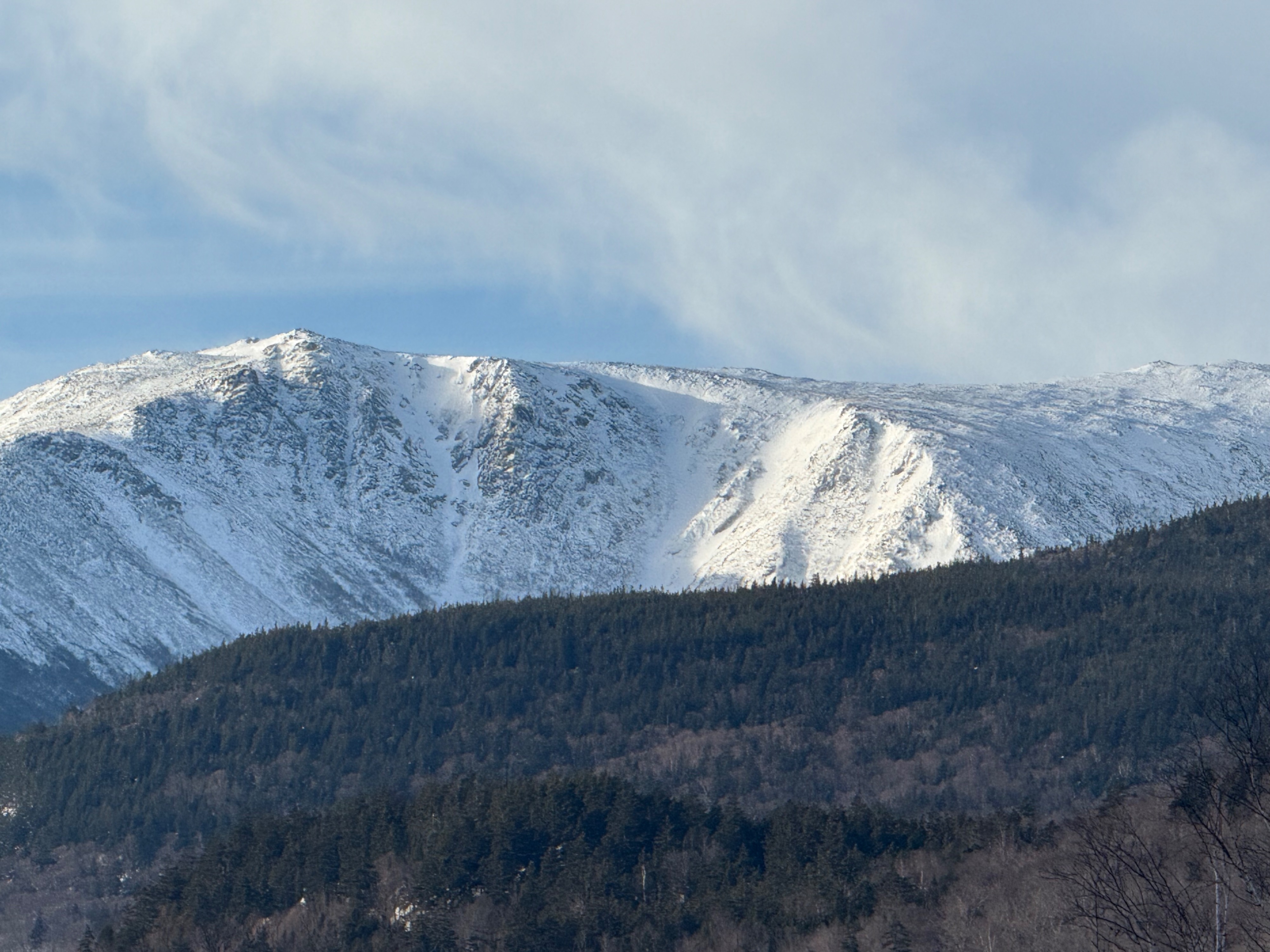
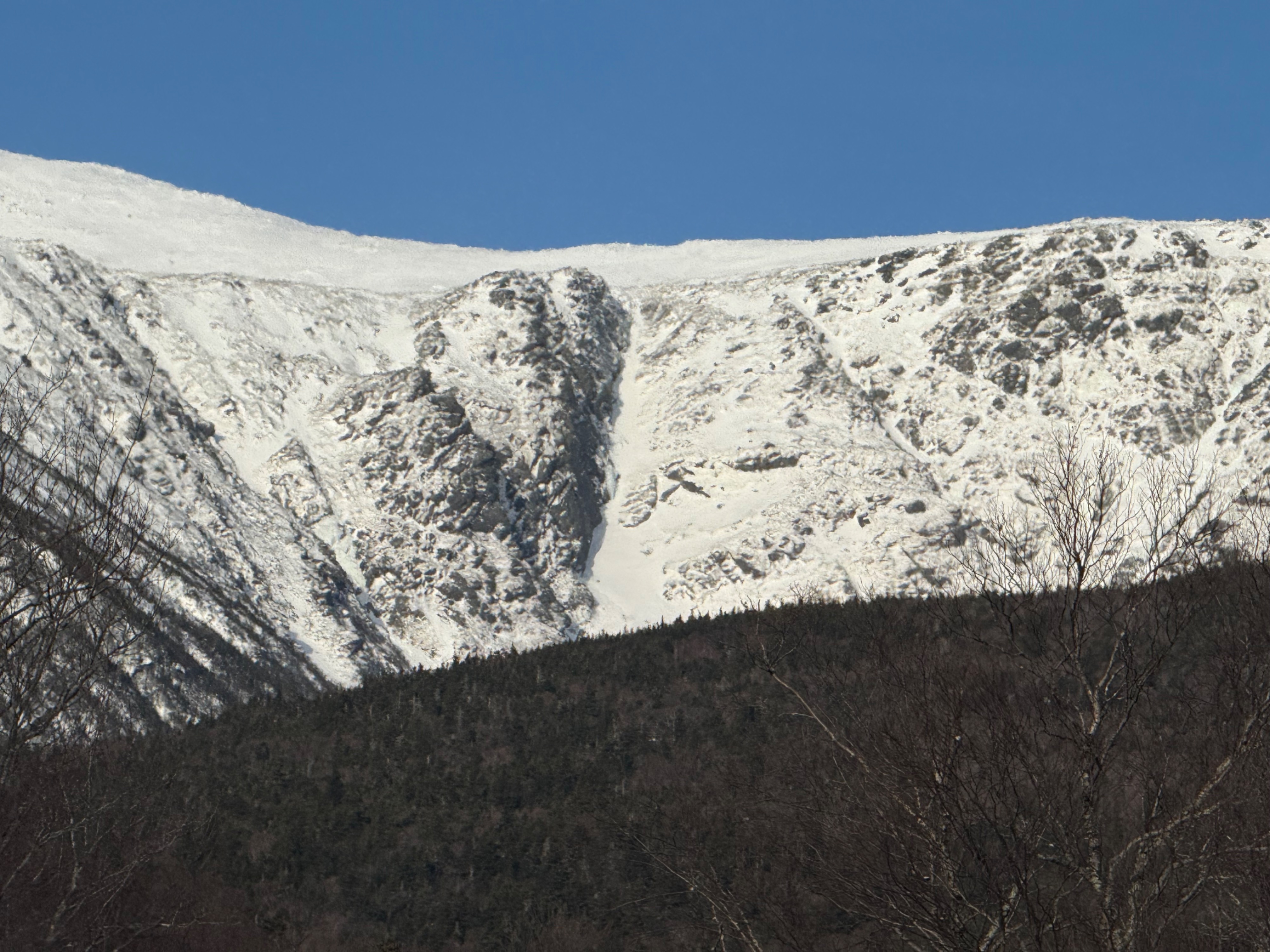
Went into Tuckerman Ravine to look at the distribution of wind slabs in eastern aspects. Before the cloud layer dropped, we had good visibility to see wind-hardened and wind-textured surfaces across east-facing aspects. For example, in Chute, there was sastrugi. This largely eliminated the concern of older wind slabs in east-facing terrain at middle elevation. On this morning's forecast, we had some uncertainty due to limited observations of east-facing terrain and mentions of avoiding eastern aspects as they were actively loading. It may be possible to find small isolated wind slabs, but this would likely be hard to find and would be in the most sheltered terrain features. We did not encounter or observe any areas that fit this description.
As we were unable to observe the impact of this afternoon's snow since it is yet to happen, we chose to look at the current snowpack structure between Left Gully and Chute ahead of Friday's forecast of rain and warming temperatures. We found a thin weak layer 40 cm down. This was a 1F hard slab on top of a 4F- weak layer on top of a thick pecil hard layer that was deeper than a meter. We elected to do a PST as it tests the weak layer independently of loading.
We got the result 40/100 (end) PST twice 40 cm down in the thin 4F- weak layer between the firmer slabs. While this layer is not that concerning at the moment, it is something I am keeping in mind as a potential weak interface as rain, solar, and meltwater enter the snowpack on Friday, unless the forecasts changes (improves?). If you find similar structure, please share an observation! It would be great to have more information on the spatial distribution.
Weather
- Air Temp
- 26
- Cloud Cover
- obscured
- Wind Loading
- light
- Recent Snowfall
- 2 cm (Harvard Cabin)
- Snow Avail For Transport
- none
At about 10:30 AM the cloud layer descended and visibility became obscured. At this time winds began to increase as did snow transport.
Snowpack
Did not observe much visual evidence of a wind slab avalanche problem in the morning. Snow surfaces were highly wind-textured and wind-firmed with sastrugi visible in Chute. After 10:30 AM the cloud layer dropped, winds increased, and snow transport began.
Digging deeper into the snow, we wanted to assess the snowpack structure ahead of warming and rain later this week. We found a largely cohesive and firm snowpack, with one discernible weak layer in the top meter. We found a 4F- weak layer 40 cm down. The hand hardness of our pit was: a thin wind crust then 40 cm 1F hard slab on top of a 4F- weak layer on top of a thick pecil hard layer that extended deeper than a meter.
We elected to do a PST as it tests the weak layer independently of loading. Our results were 40/100 end PST, which we got twice. The firm surface slab was generally supportable with about 5-10cm of boot penetration. We were not overly concerned about this layer, but it is a consideration ahead of Friday's forecast that includes rain and warming temperatures. Please let us know if you find, or are not finding this structure if you are out tomorrow!