
Quick report
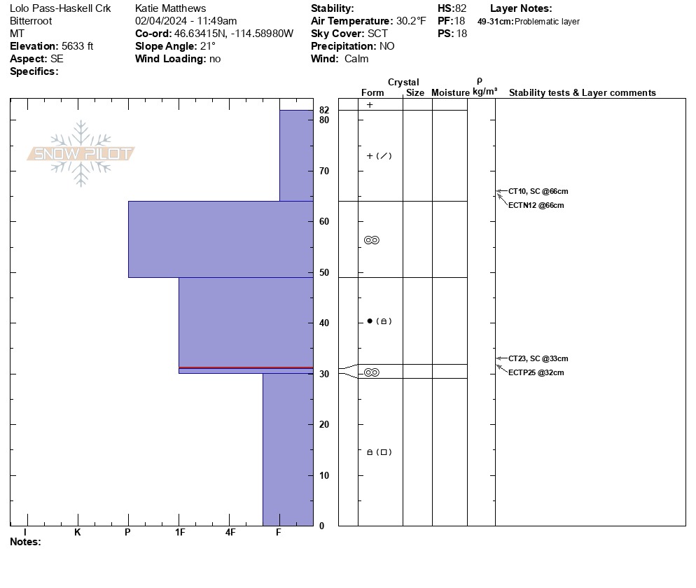
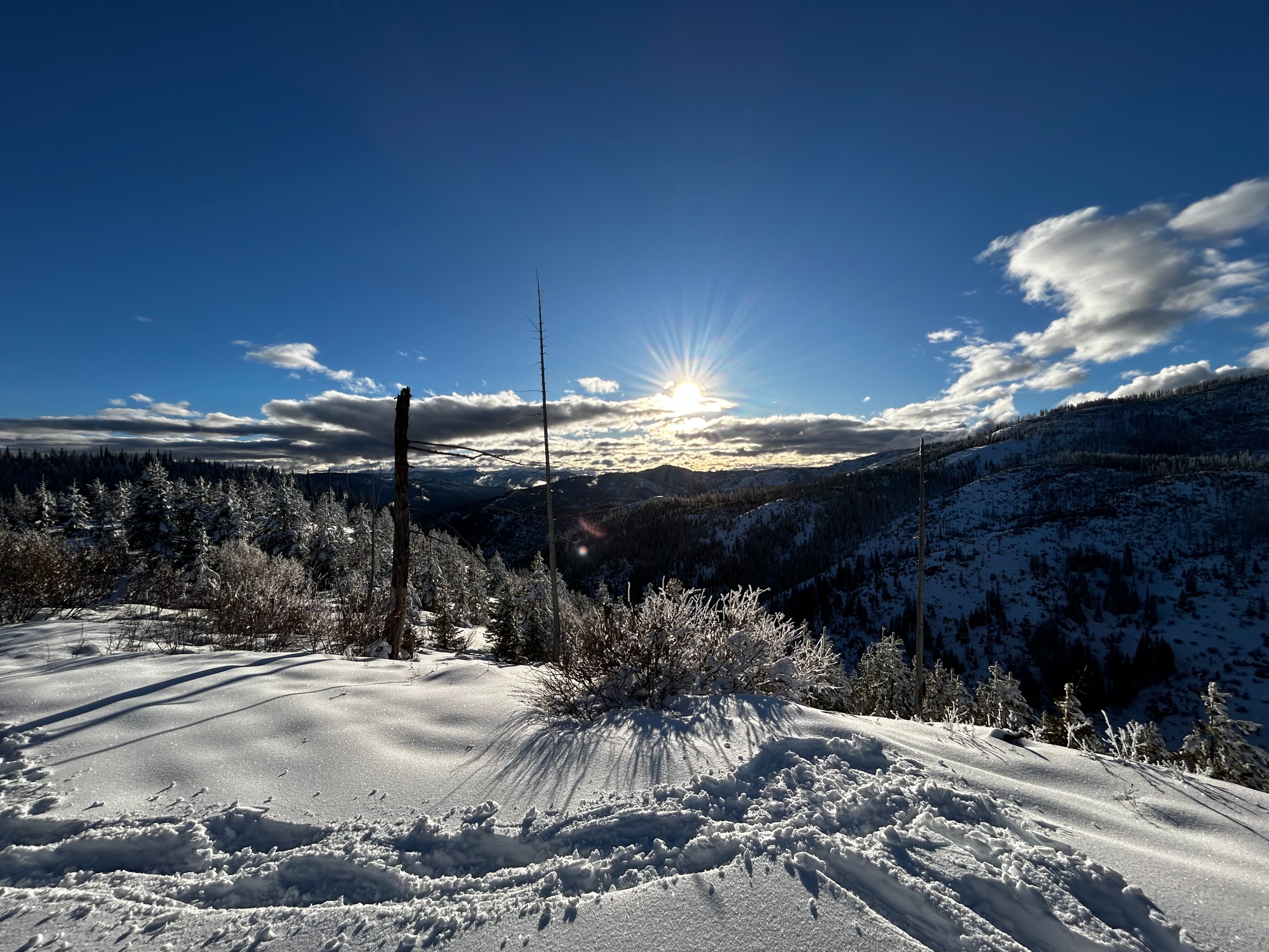
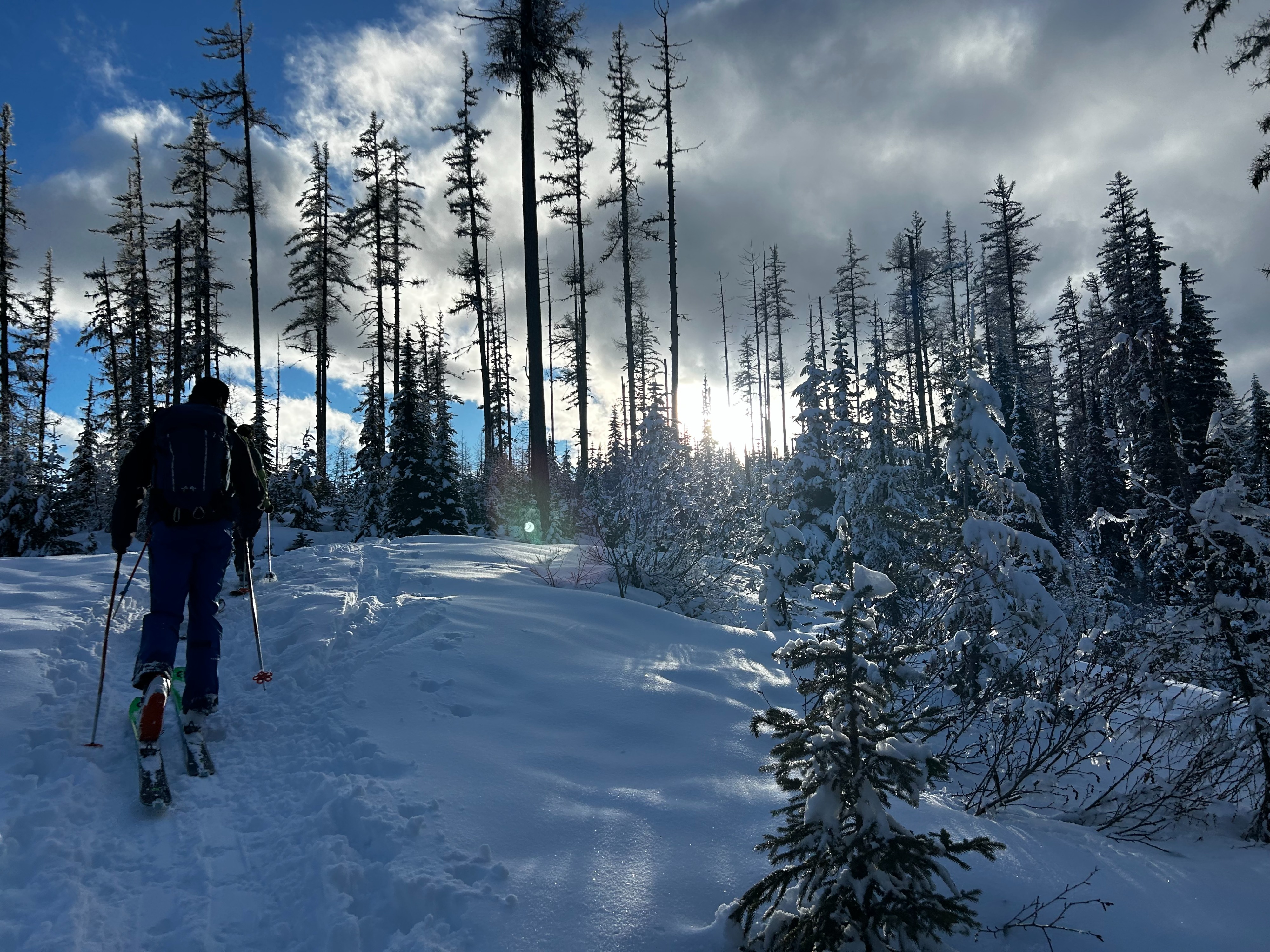
18cm of new snow that fell right side up (subtle sudden collapsing happening within the new snow near the top melt-freeze crust; most likely where yesterday's warm/wet snow meets the colder/lighter snow that fell overnight). Calm, scattered skies, no precipitation, 30-31F (trending warmer at lower elevation nearing late afternoon) New snow on solar aspects began to crust throughout the day and trees began sluffing snow. Previous snow impacted by warm/wet conditions earlier in the week had frozen and resulted in a pencil hard melt freeze crust layer roughly 15cm thick. Some subtle collapsing within the new snow and a propagating result where the slab meets the weaker, sugary, faceted snow @ around 32cm. We stuck to simple terrain, avoiding slopes steeper than 30 degrees, digging into the snow to look for poor snowpack structure, and avoiding terrain impacted by the sun earlier this week that contained exposed or barely covered downed logs, stumps, and rocks.
Avalanche
Wet Loose avalanches above Highway 12 Near Lolo Pass, E/SE aspects at low elevation Late afternoon when temperatures warmed Natural No riders caught Small in size