
Quick report
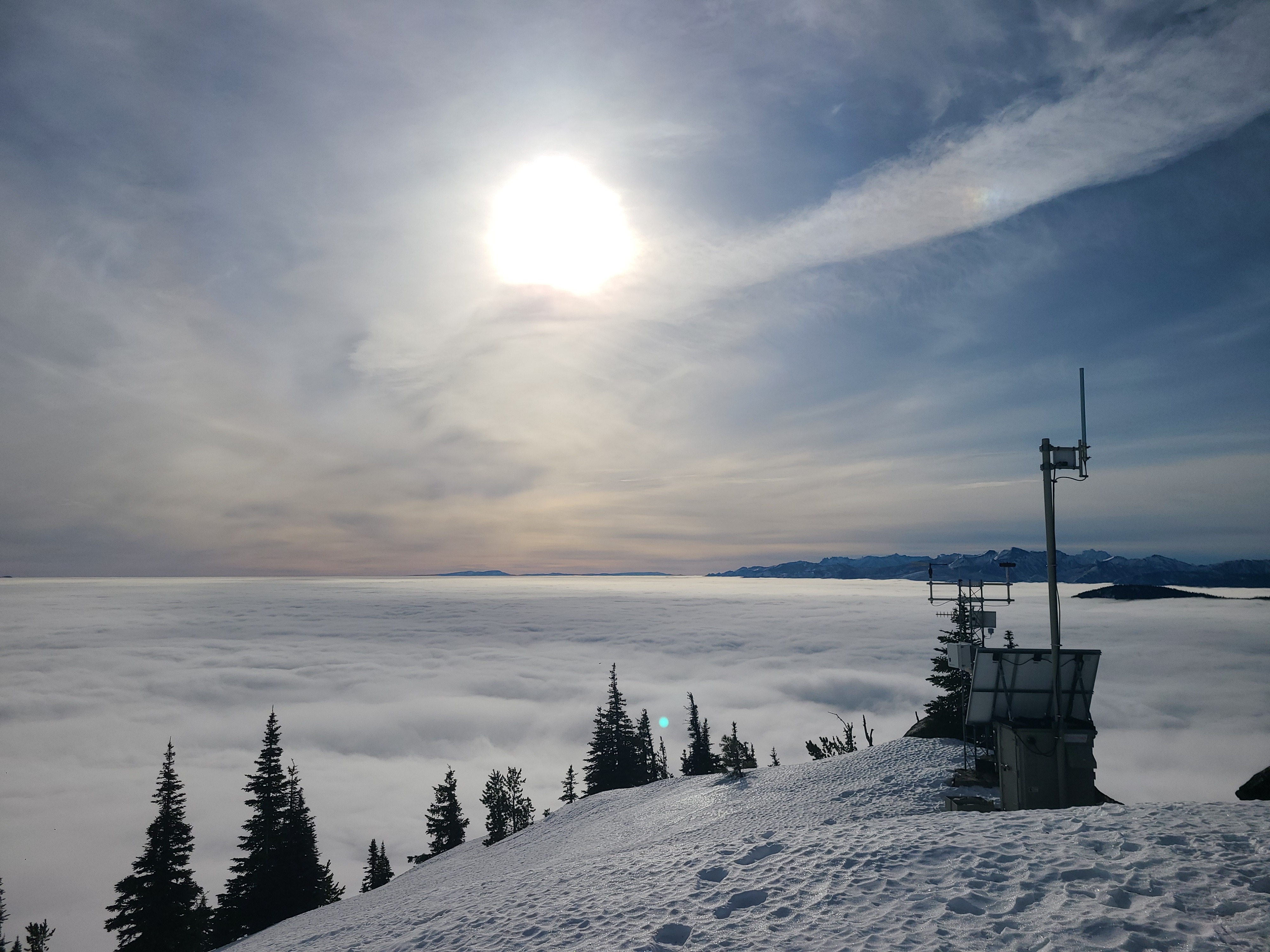
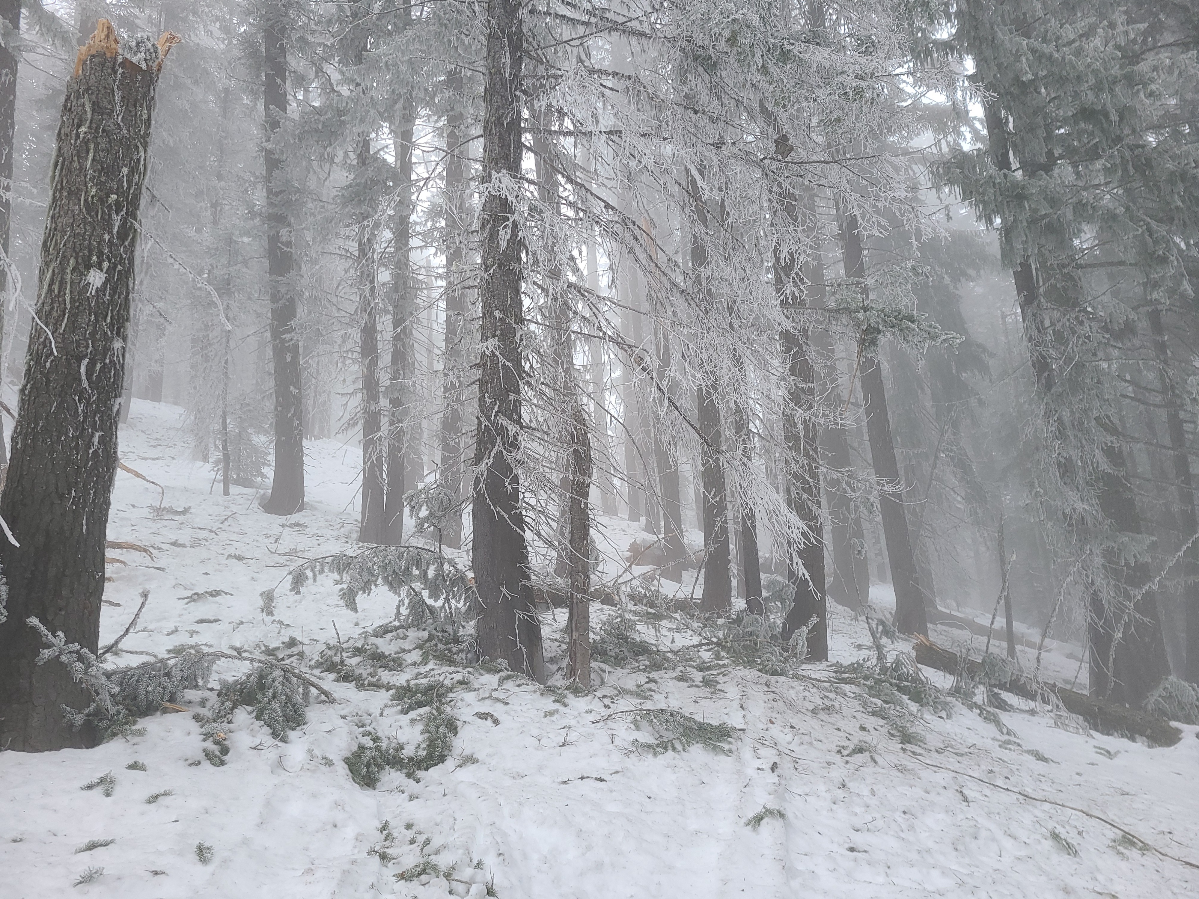
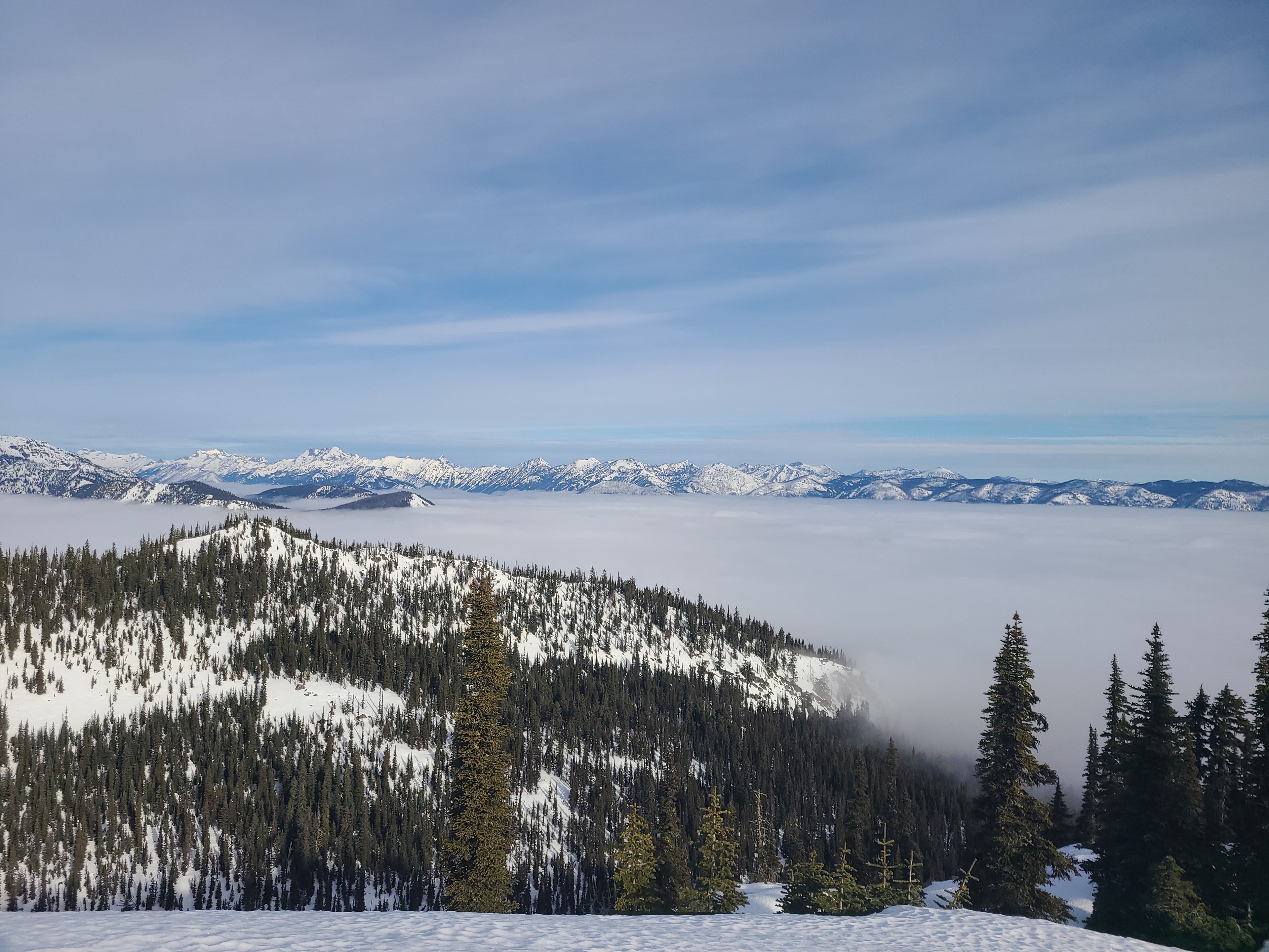
We took advantage of the prolonged warm, dry spell to put the final touches on our repairs to the Dirtyface weather station, which was damaged in the December atmospheric river event. It was cold and cloudy, with firm, icy surfaces below 5300ft, where the inversion persisted throughout the day. Above that, temperatures were mild with increasing high clouds and westerly winds in the afternoon. This allowed sunny slopes to soften into nice "corn" snow at mid- and upper-elevations.
While it would be nice to have clear, sunny skies in the valley, the clouds hanging over our heads have helped significantly preserve our meager snowpack and, therefore, our access to the mountains. So until winter returns, I'll be thankful our trailheads still have snow on the ground.
Weather
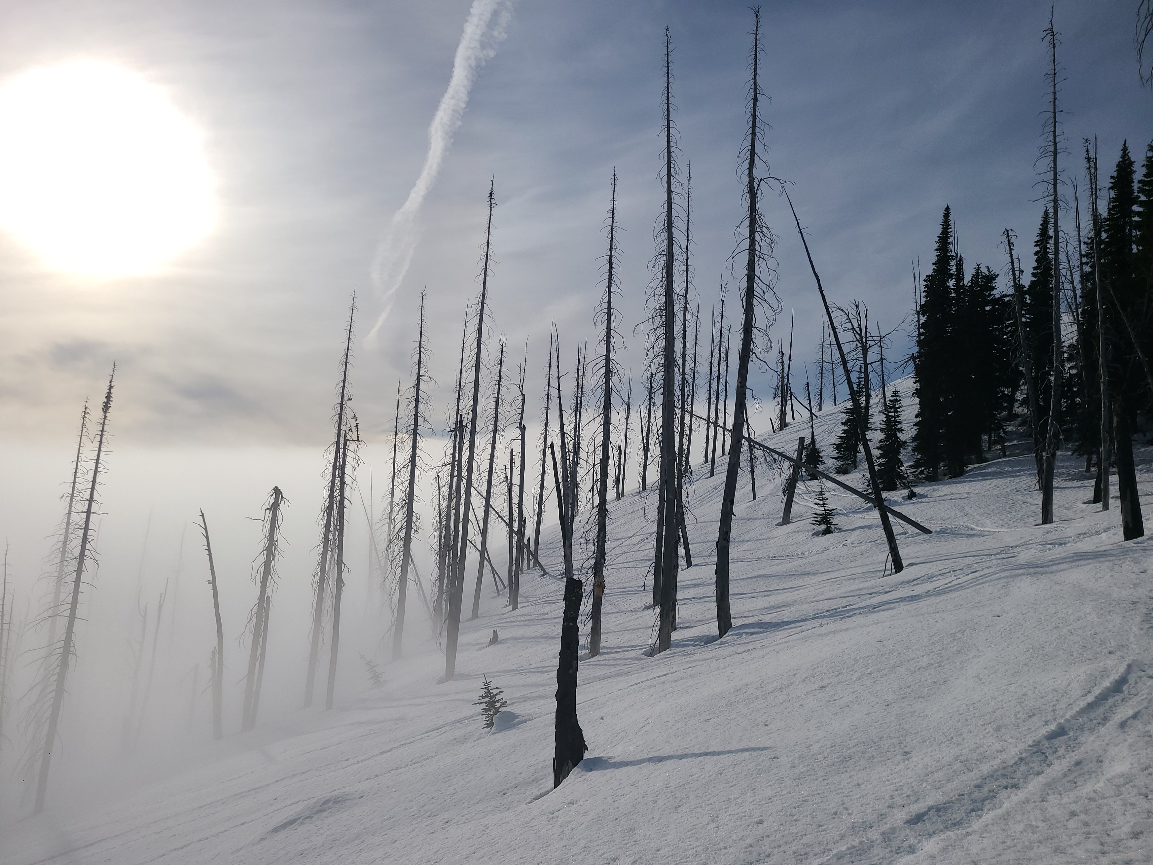
The inversion cloud deck was parked at about 5300ft throughout the day. Below, it was cold and cloudy. Above the clouds, it was a mild day that started out with clear skies. Throughout the day, high clouds and westerly winds increased.
Snowpack
Snow Surface Conditions
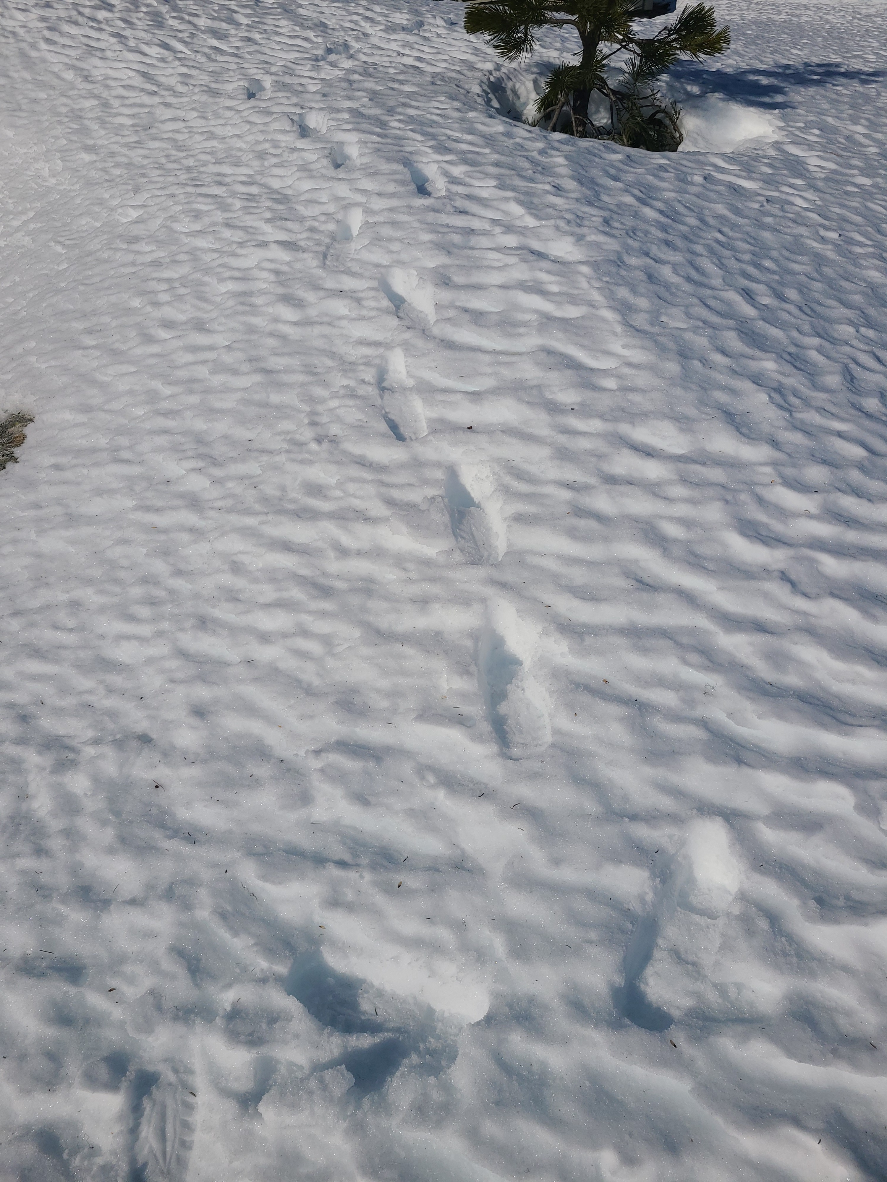
Below the inversion, snow surfaces were frozen and firm, with widespread surface hoar growth. Forested areas offer particularly challenging travel conditions. Above the inversion, surfaces softened with daytime warming and sunshine, but not enough to become heavy and wet. Surfaces at all elevations were heavily textured due to rain first, then prolonged, dry, warm weather.
Snowpack Observations
Southern aspects have a thick melt-freeze crust on the surface, with consolidated melt forms below. On northern aspects, the surface crust from the rain event is beginning to break down. It is now just .5-1cm thick and quite fragile. Below this crust, there is soft, dry snow that is weak and faceting.