
Quick report
A stunner of a day allowed for great observations of the snowpack and the surrounding terrain in the Tatoosh Range of Mt Rainier National Park. We haven't been in this part of the zone since the recent snow, and were out actively hunting our persistent weak layers. While we could find them, they looked a bit different than what we've seen near the Crest. In our snow profiles today, the 2/13 was small facets over a thin crust rather than surface hoar as we've seen elsewhere. The 2/7 crust was also easy to spot, but generally stronger than closer to the Crest.
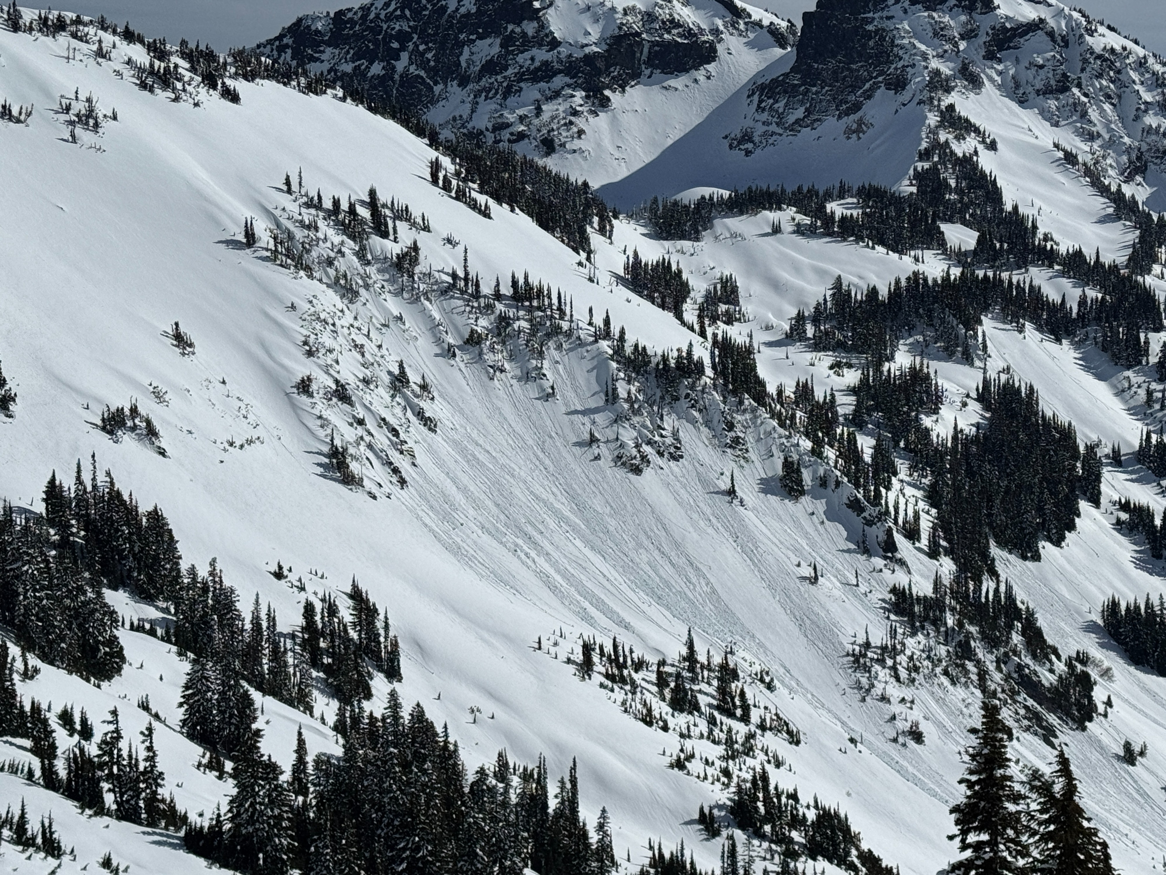
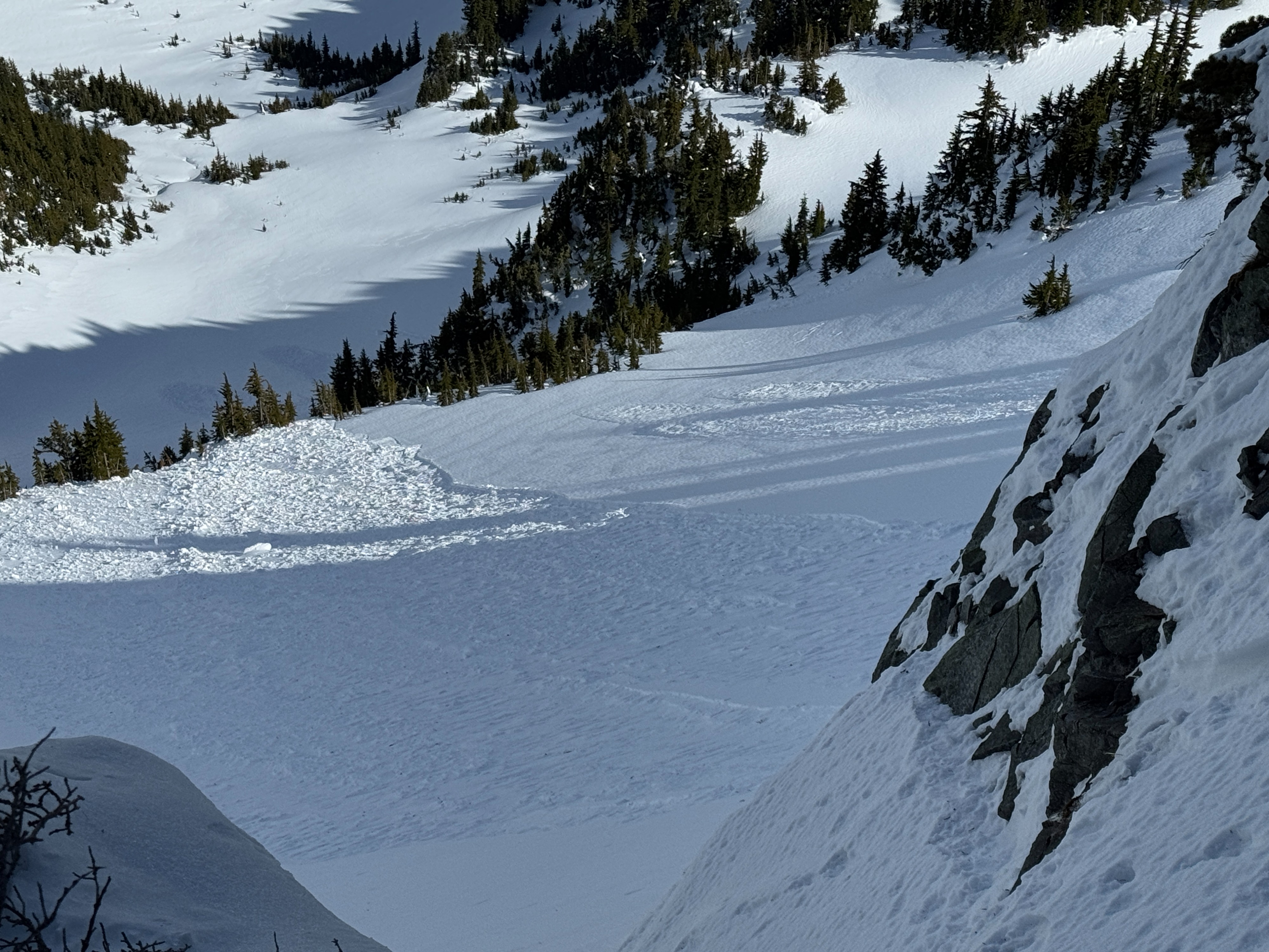
While the persistent grains were our main focus, the sunshine helped warm southerly aspects and resulted in a few natural wet loose slides from rocky terrain.
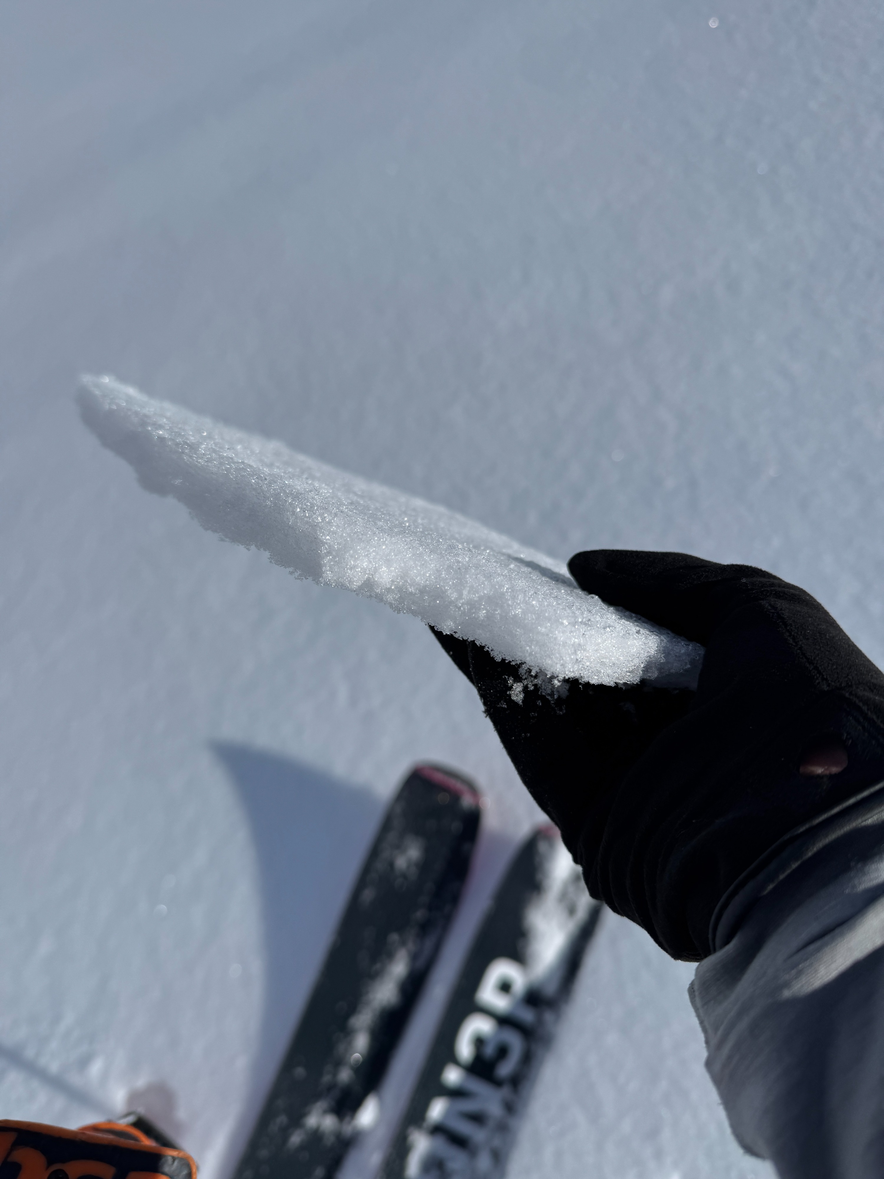
Travel: Coverage is still thin, especially down low, but coverage was better than anticipated. Unfortunately, a breakable crust of varying thickness covered most slopes. This didn't make for very pleasant travel.
No cracking or collapsing noted.Weather
- Cloud Cover
- scattered
- Wind Loading
- previous
- Snow Avail For Transport
- small smounts
A nice sunny day in the Tatoosh Range. Temperatures were mild, but not hot. Skies were mostly sunny, but thin clouds generally kept it from being full bluebird. Winds were calm and barely noticeable even on the ridgelines.
Snowpack
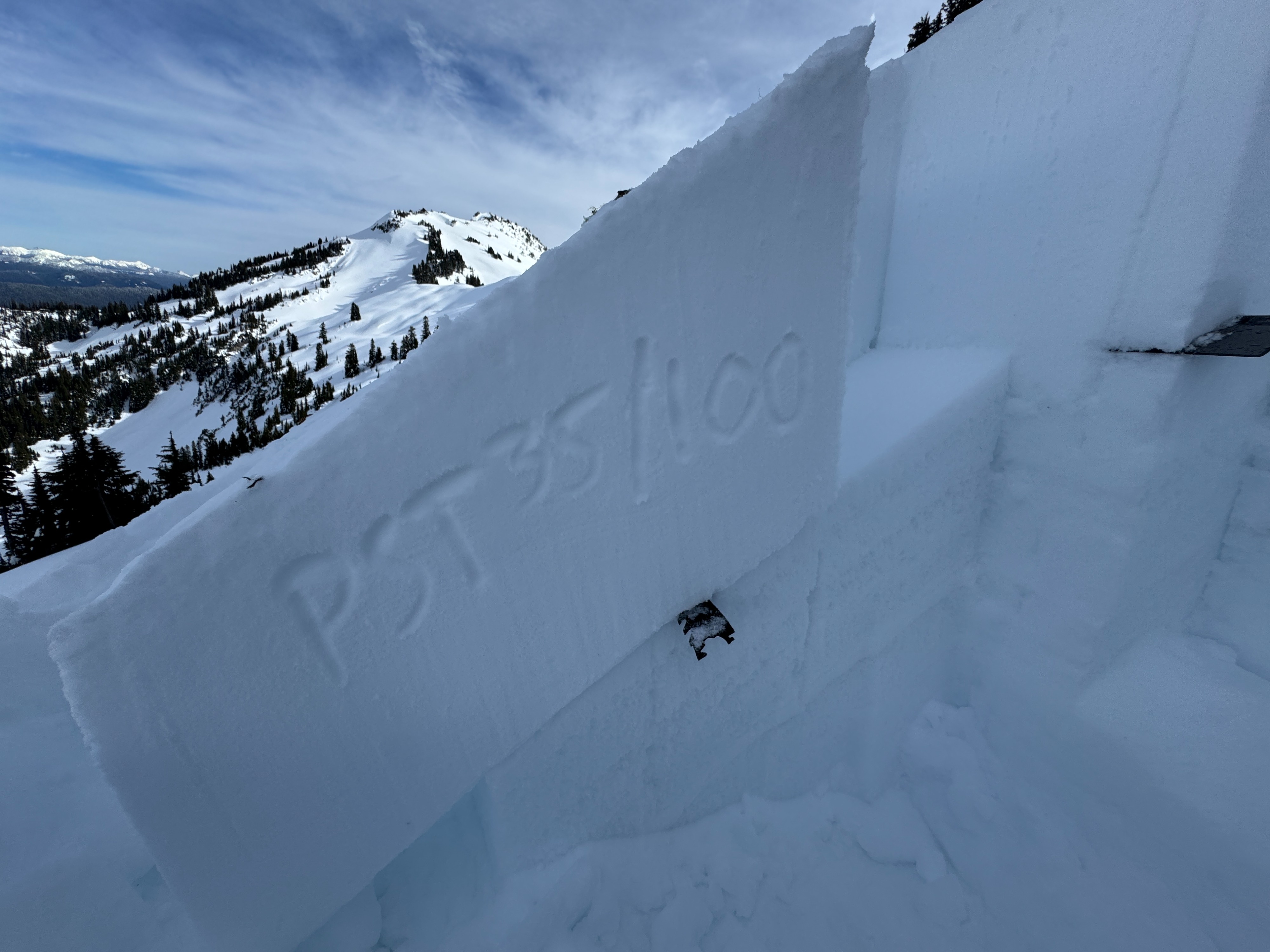
Persistent Slabs: The main goal of the day was targeting the 2/13 and 2/7 layers. Overall, these layers look similar but a bit different than similar aspects and elevations at Crystal and White Pass.
- 2/13: On northerly aspects, this layer presented as small facets above and below a very weak crust. In one of our snow profiles, this layer collapsed suddenly in small columns, and cracks shot across the block in Propagation Saw Tests. Interestingly, Extended Column Tests still didn't show any results. On southerlies, the same weak crust was present, but the facets were showing obvious signs of rounding.
- 2/7 Crust: Overall, this layer was stronger than near the crest, but still quite friable, and facets were present above and below. On northerly aspects, this layer didn't fail in snowpack tests. On Southerlies, this layer failed repeatedly in snowpack tests on small 1-1.5mm facets.
- Deeper in the mass of melt forms that is the middle and lower snowpack, pockets of faceting grains were noted. Due to the nature of these layers, it's hard to put a date on these grains, but they are likely just the old snow weakening as the crusts rot.
Wet Snow: Southerly aspects softened in the warm, filtered sunshine. A few small rollerballs and point release slides were observed, but mostly the snow surface just became moist, falling short of becoming wet and weak.
Wind: You could see evidence of wind loading from the past few days. Sharp cornices, drifts, and rime all pointed towards possible slabs. We didn't see any cracking in wind loaded terrain, but were unwilling to test it too much due to the persistent slab issues.
Travel conditions were a real hazard today. Open creeks, random holes, and a breakable crusts had us focused on going a bit slower and taking our time.
Avalanche
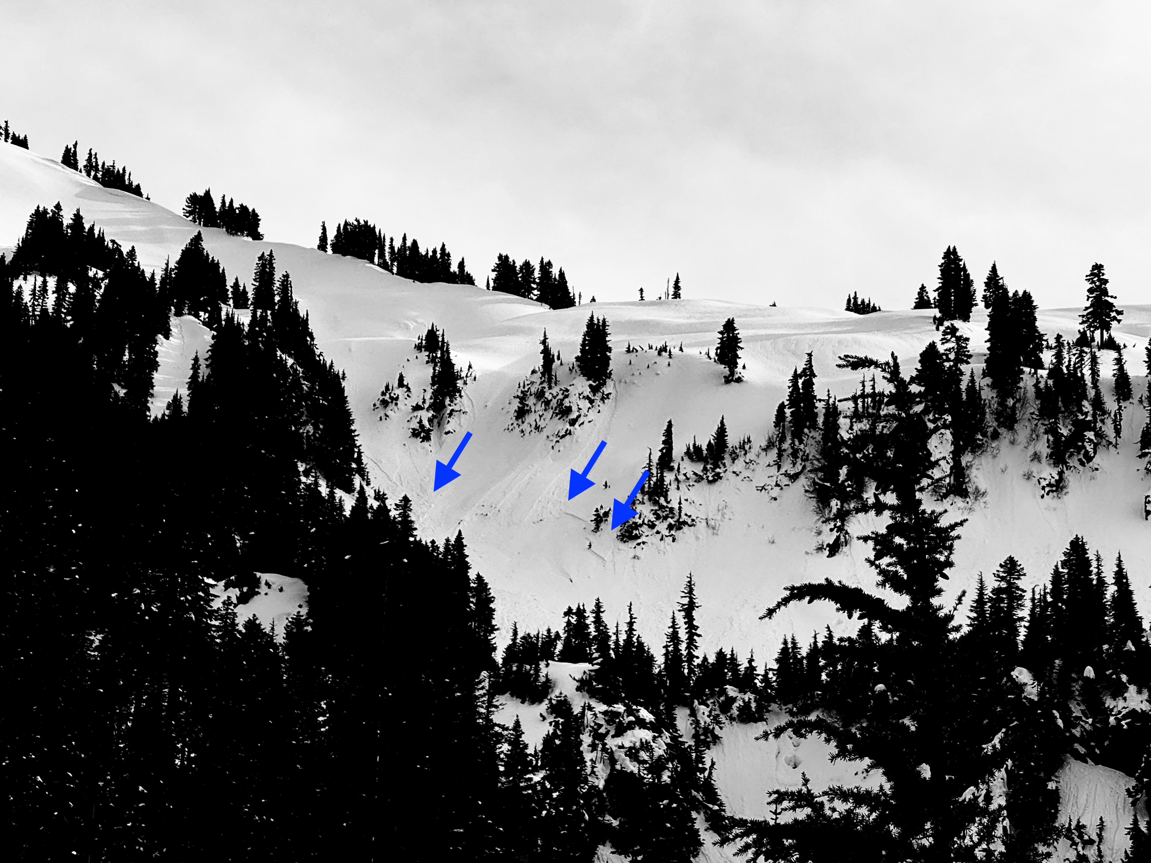
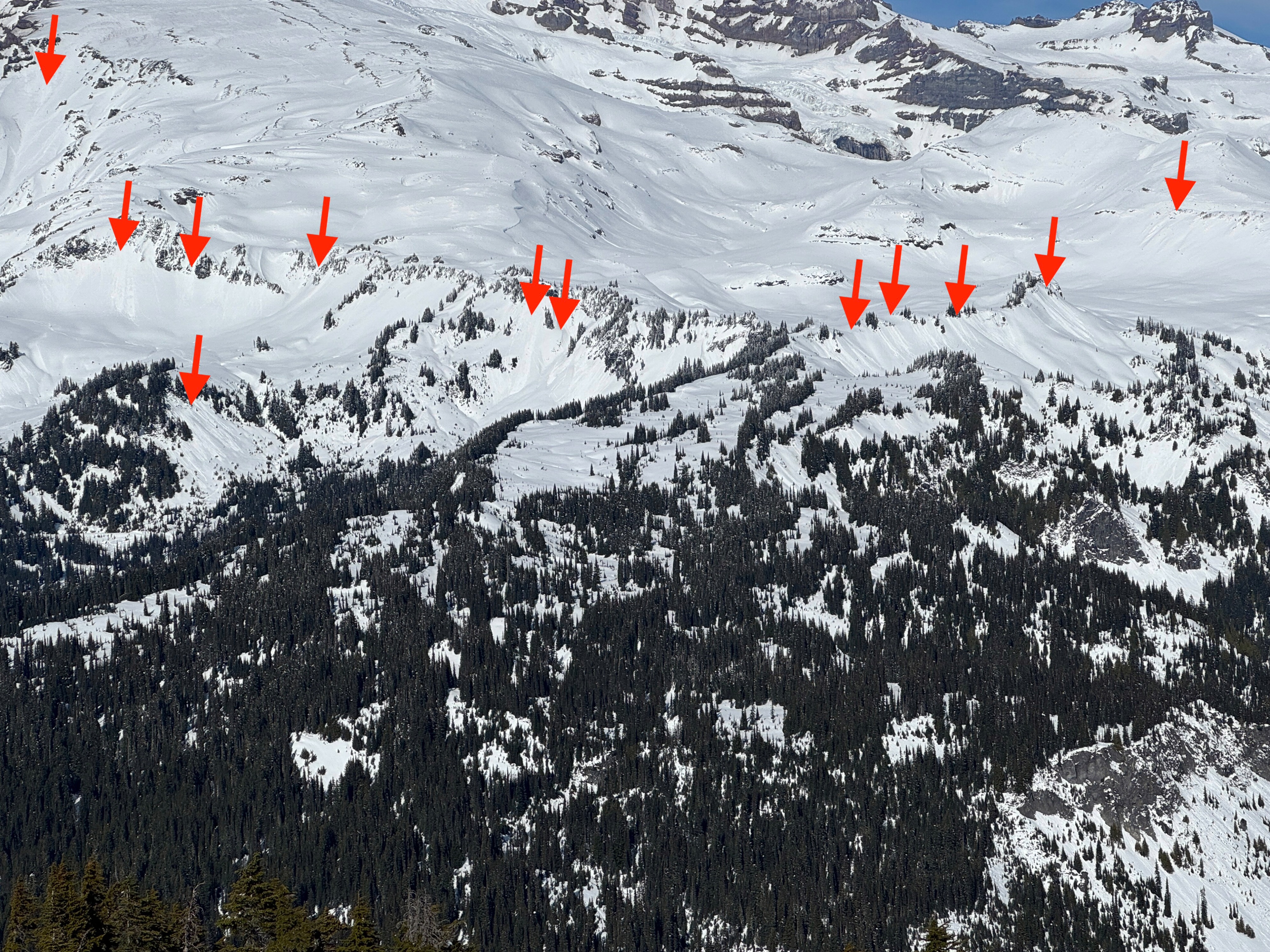
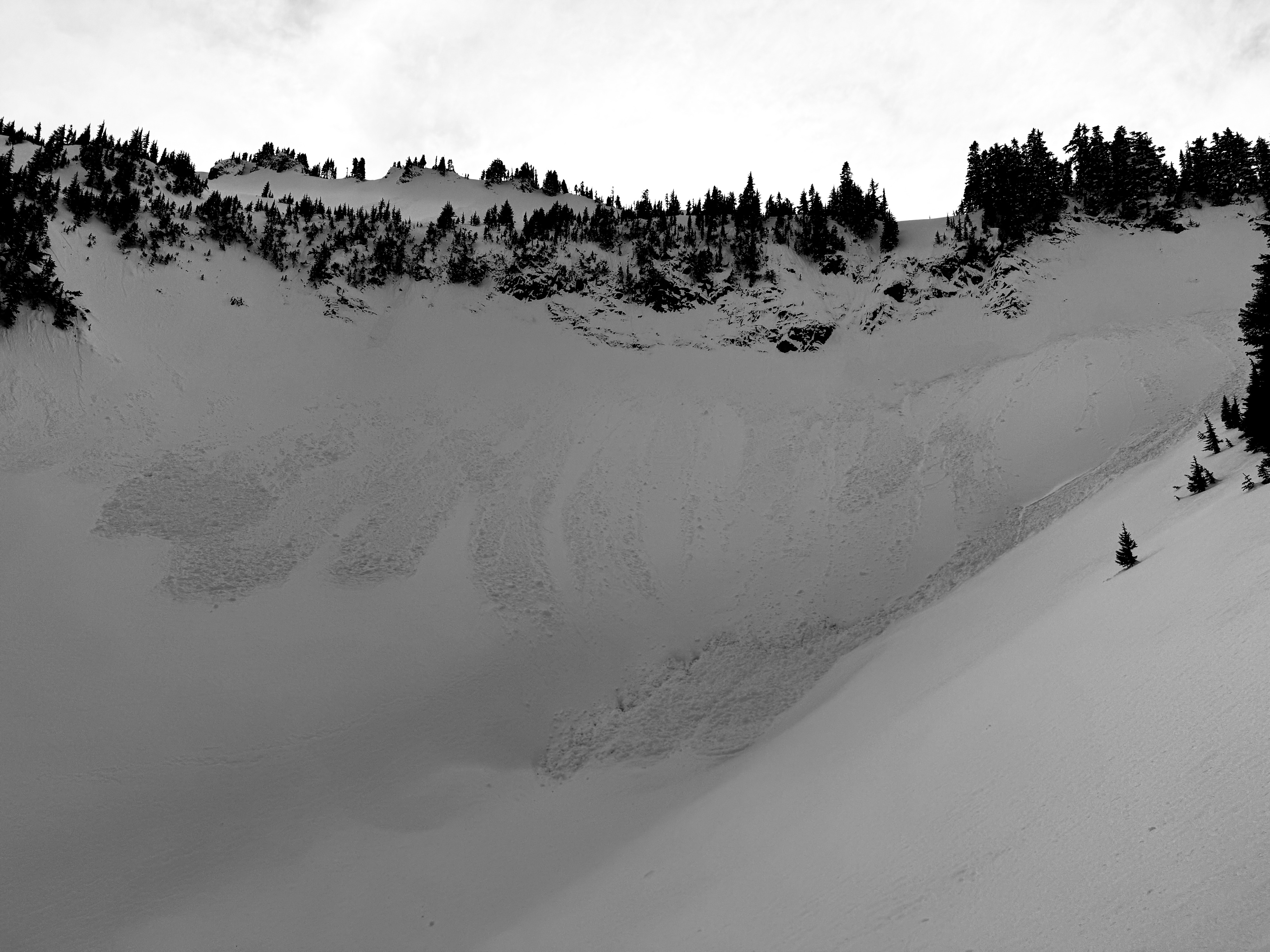
Numerous, mostly small, new wet loose slides were observed on southerly aspects. These slides originated from very steep and rocky terrain. Several older loose avalanches were noted from earlier in the week on all aspects. These likely released onTuesday during the initial warmup. A few older crowns from around that same time period were recorded, but many were drifted in with wind blown snow and were hard to identify.