
Quick report
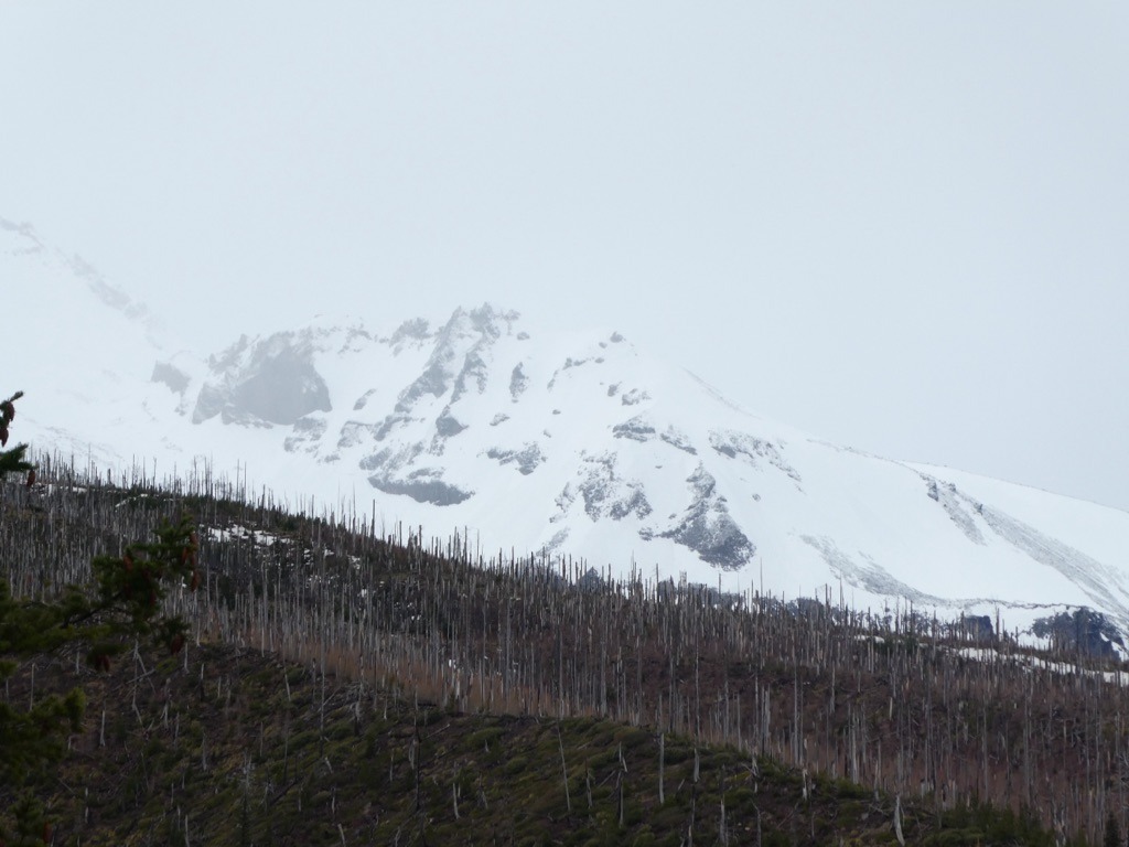
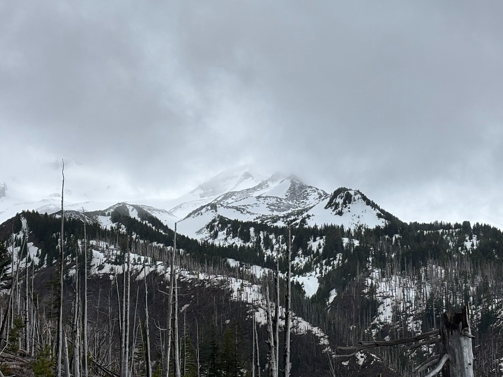
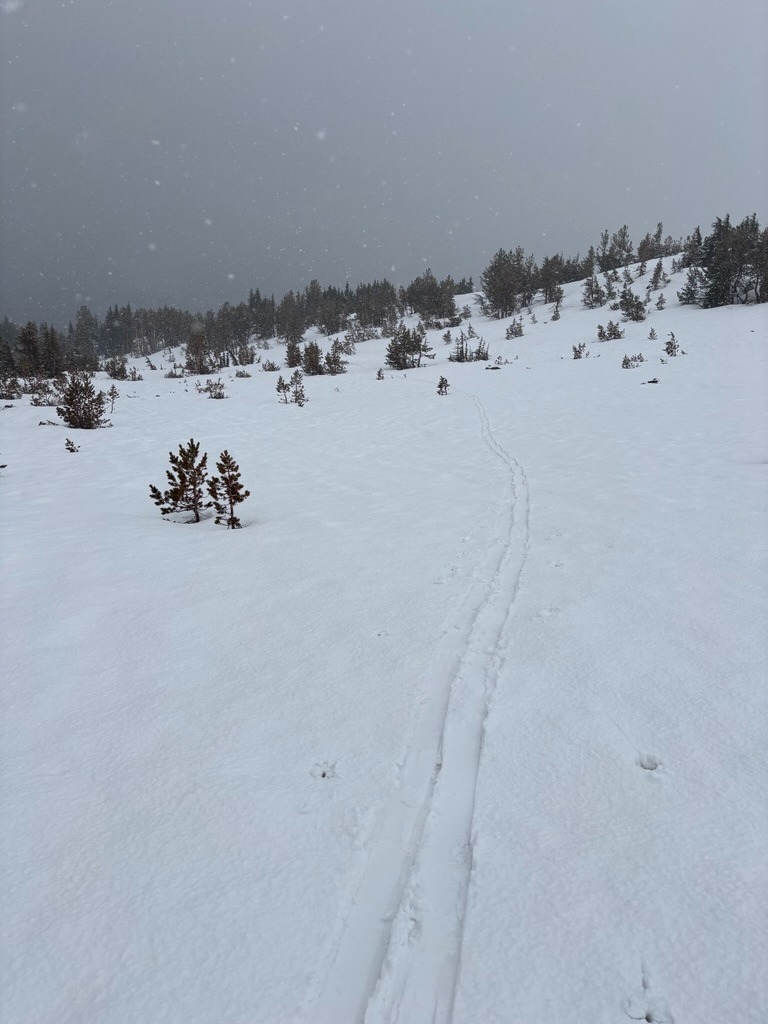
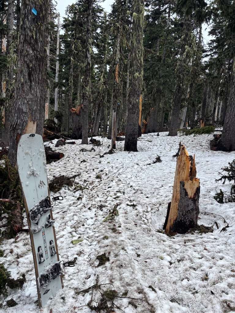
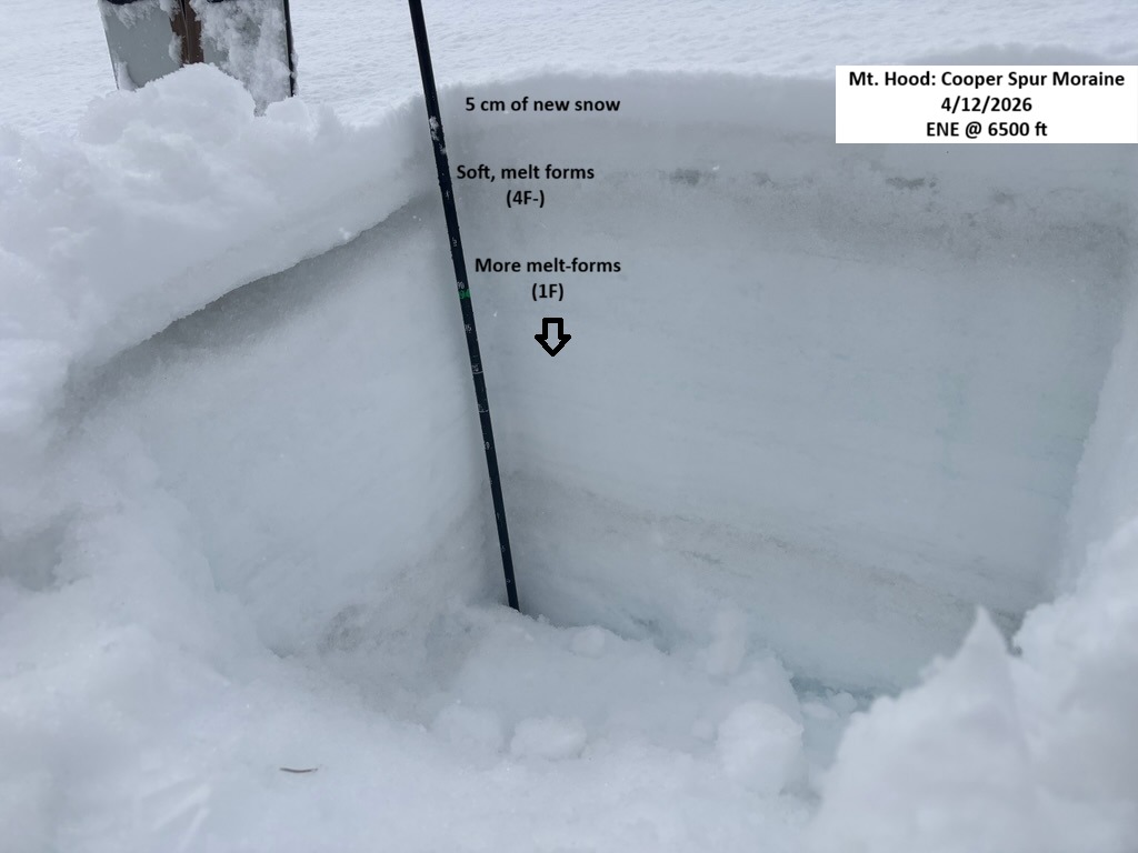
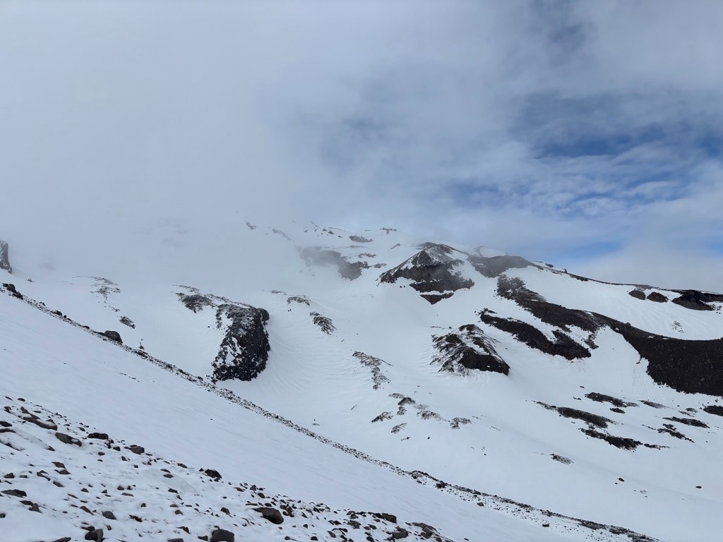
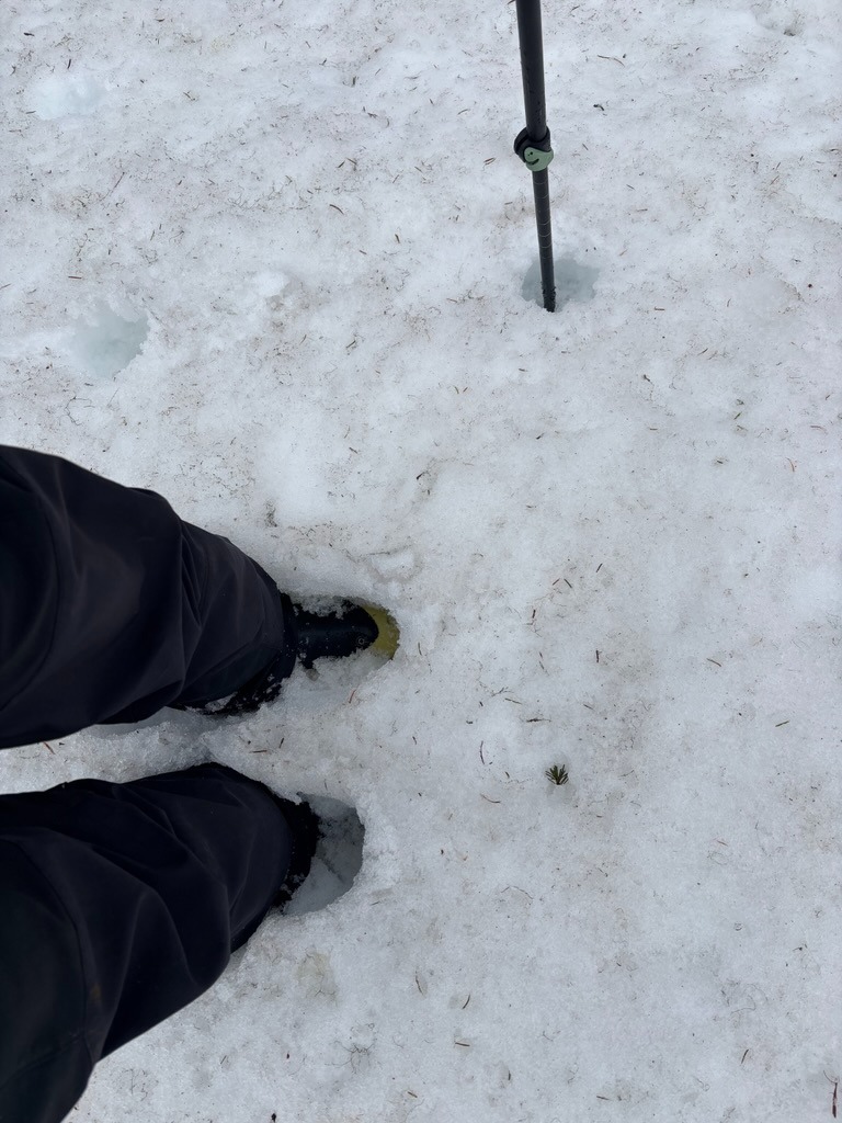
5 cm of new snow sits over punchy, melt forms from minimal refreezes below 7000 ft in recent days. Visibility wasn't great, but I didn't see much evidence of recent avalanche activity or signs of drifting from recent accumulations. The middle and lower elevations below 6000 ft are largely snow-free on this eastern flank of the mountain.
With the exception of the light recent accumulations at the surface, the whole underlying snowpack mainly consists of melt forms and crusts below 7000 ft. Minimal refreezes have left soft, sticky riding conditions at these elevations.
I didn't notice any signs of instability today. Any isolated instability would have likely been confined to wet snow.Weather
- Air Temp
- Mid 30s
- Cloud Cover
- obscured
- Wind Loading
- none
- Rain Elevation
- 5500
- Recent Snowfall
- 5
- Snow Avail For Transport
- small smounts
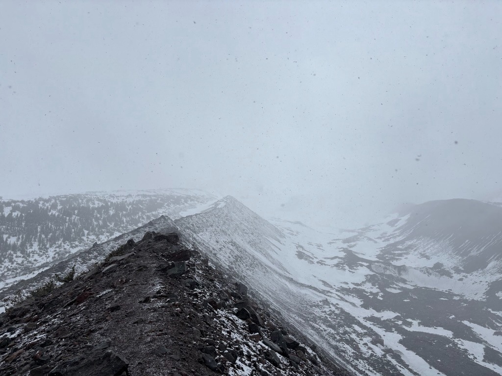
Today felt like a typical unsettled spring day in the mountains with intermittent snow showers that brought quick accumulations and occasional sun breaks that felt warm and moist. Winds were light and southerly through lunchtime.