
Quick report
- Cracking
- specific
- Collapsing
- specific
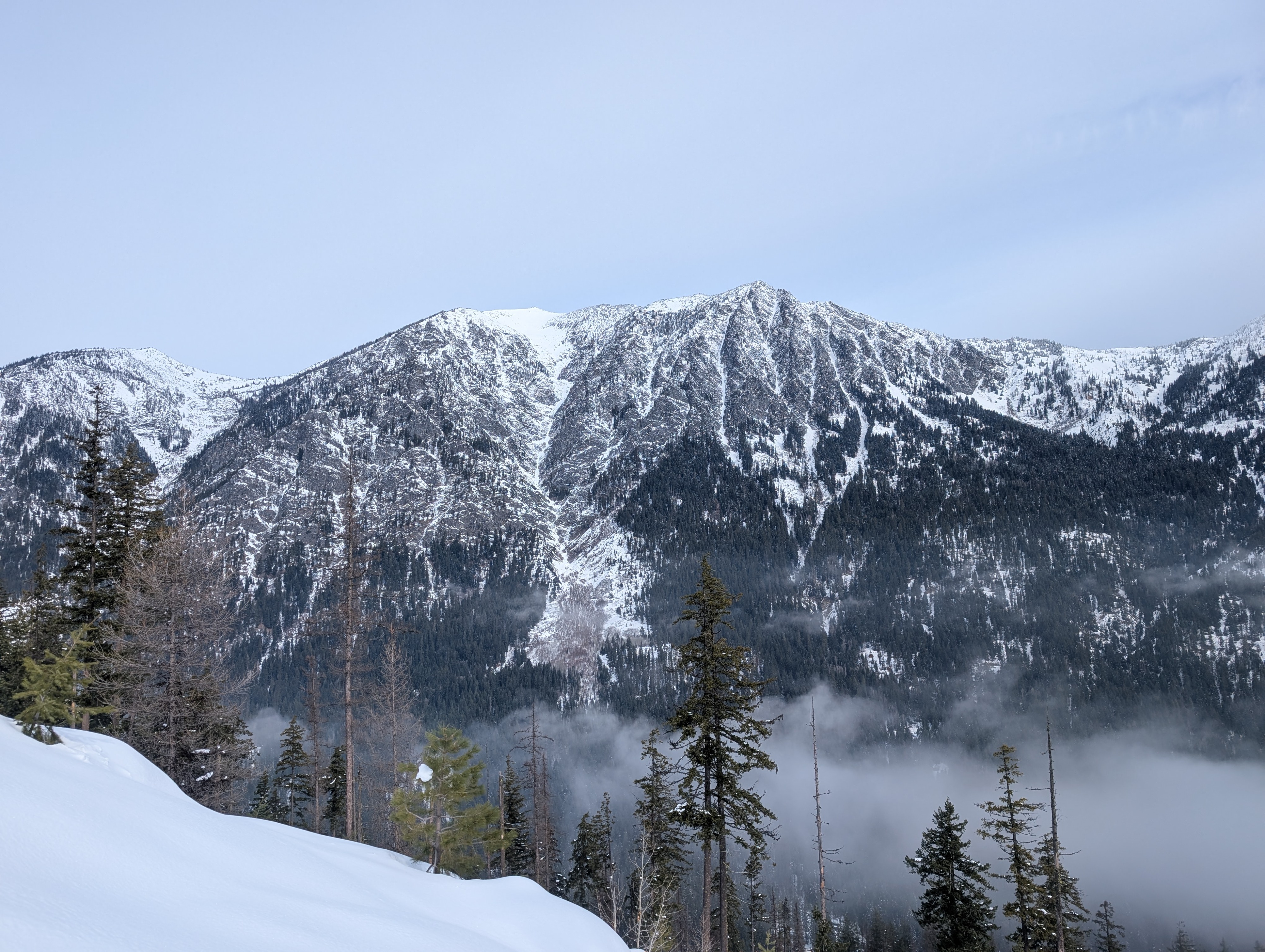
With the storm inbound, we traveled lower-angle terrain on the edges of north in the Middle Icicle, including NW, N, NE to assess stability and surface conditions. Punchline: We got some booming (think the NBA Jam arcade game: "Boom shakalaka"), far-running collapses, and shooting cracks from 4000' to 4800' on NE/N. These were most prominent in wind-affected terrain, which was anything with a tilt E or W from N. The slab has built in wind-effected terrain (15 Feb at 1430), and poor snow structure was present in the upper BTL, NTL, and ATL. Snowpack: Wind-effect was apparent from both westerly and easterly events in open areas, especially in the NTL and upper BTL on NE. An unsupported skintrack collapsed prior to snowfall beginning with a radius of 30' for the third traveler. The PWL had pencil hard slabs to 50 cm in the most wind-affected areas; fist hard faceted surface snow exists over the now faceting JDL crust (and an intermediate crust/density change) at 4000-5000'. Snowpack structure is poor to the lower layers, with 25-50cm of well-developed facets and crusts from 4800' upward to the solstice. We didn't dig beyond handpits today, but didn't need to: it's a dog's breakfast of weak surface snow and/or wind slab in the middle Icicle. Ski quality was good if you could stay out of the wind. Weather: In the AM, winds began easterly at road level, with low clouds being pulled up valley based on the pressure differential near the crest. Low clouds (2600'-3000') were pulled as far up valley as Grindstone/Chatter Creek before the storm began around 1300. Clouds continued to build with sky going from overcast to obscured as snow increased from flurries to S1. Temperature was upper 20s at the road, but felt warm compared to the week prior.
Avalanche
- Size
- D2
- Aspect
- S
- Trigger
- NC
- Elevation
- 6000 ft
Old cornice-triggered slide from Monday was visible HS-NC-R1-D2