
Quick report
- Collapsing
- specific
Snowpack obs in the Sisters Range were a great demonstration of how much snowpack can vary in a single forecast zone. The total snow depth is half that of the Baker Backcountry and many other areas along Hwy 542 and Hwy 20. The weak old-new interface (1/30) and slightly deeper layers (1/10 crust-facet layering) that is producing avalanches in other areas seemed to be a non-issue here. Warmer temperatures on Jan 27-28th probably melted down much of the surface hoar and facets that were/are found elsewhere. On the other hand, the faceted Solstice Crust was the layer of concern in the Sisters whereas it's buried 200cm or deeper in other areas - and has long been forgotten.
No matter where you are in West North, weeks of clear skies and cool weather weakened the snowpack. The weak snowpack has now had a bunch of new snow added to it. Signs of instability are still evident and it should take longer than usual to get back to the strong Cascades snowpack we are used to.
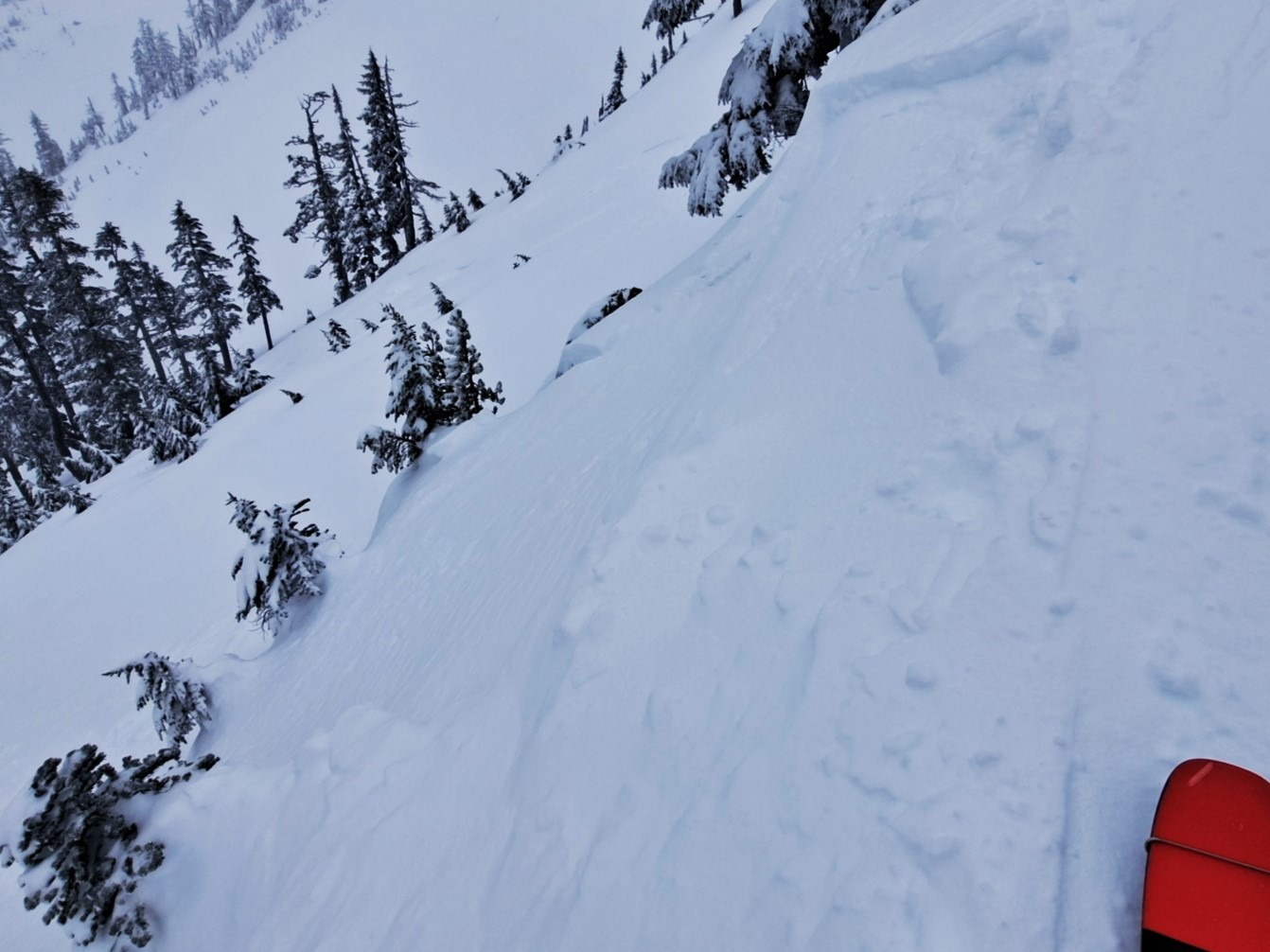
Two different areas (north aspect @ 4800' and a broad west-facing ridgeline at 5000') produced whumphs with the load of a single person. Very small wind drifted pockets just below ridgeline were reactive.Weather
- Cloud Cover
- obscured
- Wind Loading
- moderate
- Recent Snowfall
- 10cm
- Snow Avail For Transport
- moderate amounts
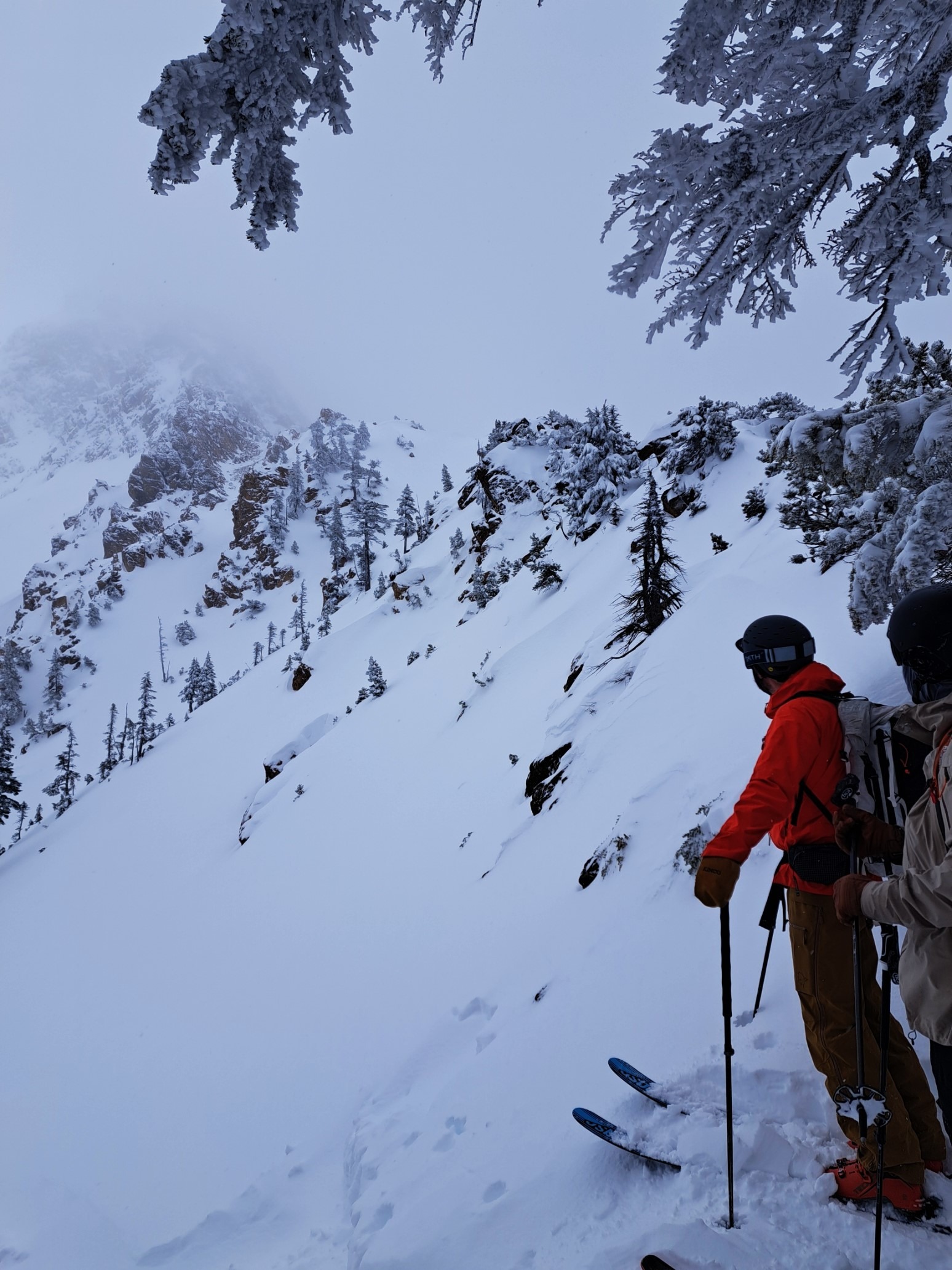
Stormy morning with moderate snowfall and gusty winds. Tapering off midday with broken skies and some sunbreaks leaving the field at 3pm.
Snowpack
30cm of new snow since Jan 30th redistributed by wind onto northerly and easterly aspects. Thin crust at old-new snow interface unreactive in testing. Small facets down to Solstice Crust which has almost fully decomposed into faceted grains. CT's mostly produced produced progressive collapses or breaks and ECTN's. Most notable results were multiple easy, sudden collapses and ECTP-11 in faceted snow at the top of the Solstice Crust. HS 160cm. Boot Pen was 80cm with minimal support from deeper layers.
Avalanche
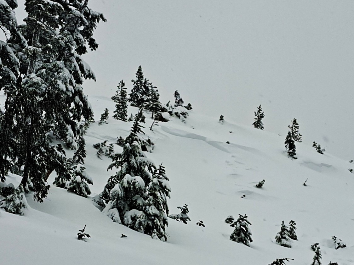
One human triggered D1 slab just below ridgeline on a wind loaded, northeast aspect at 5000'. Triggered remotely on Saturday the 1st from the ridge above (photo).