
Weather
- Cloud Cover
- broken
- Snow Avail For Transport
- small smounts
Skies transitions from partly cloudy to broken in the morning, and stayed broken for the day. Calm. Temperatures were just below freezing from starting elevation of 2500ft but warmed ~10F during the day.
Snowpack
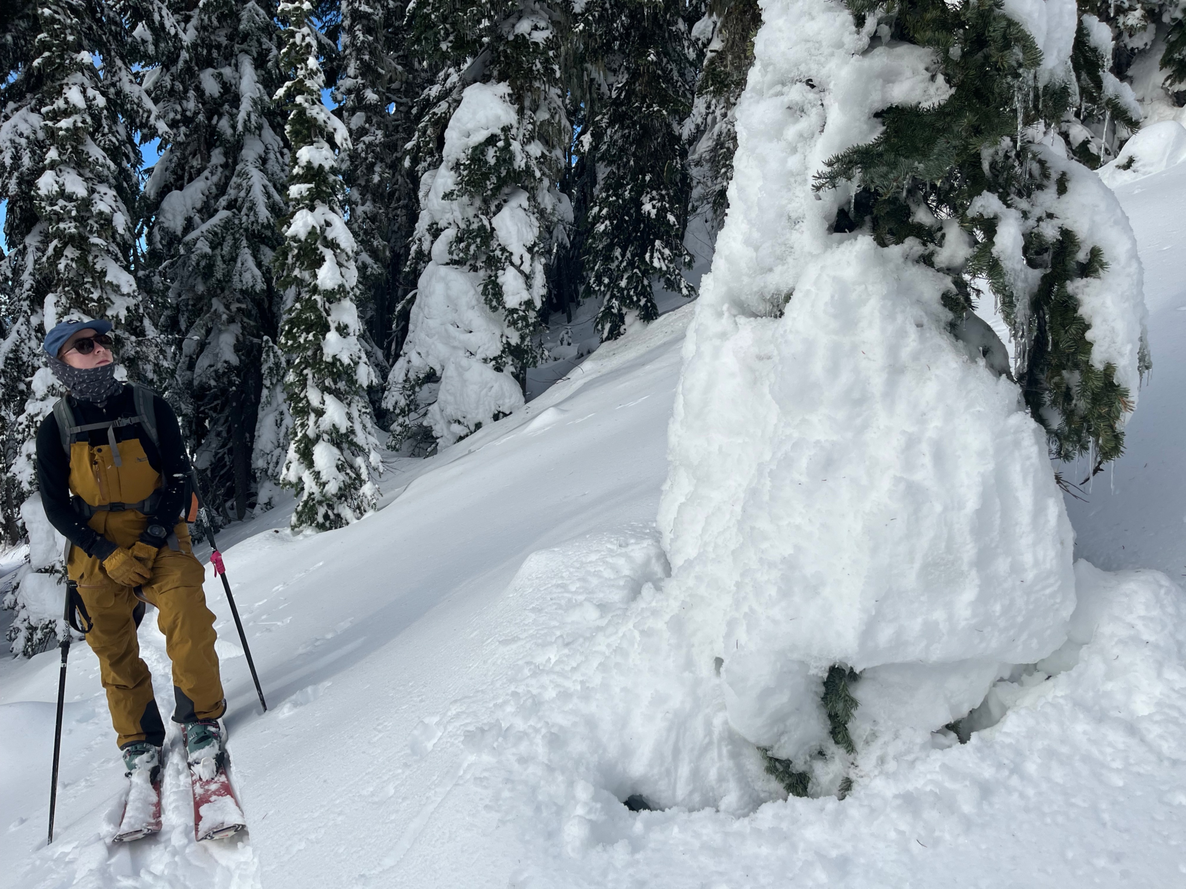
Snow began frozen and dry at the start of the day. By 11am, slight moistening was noted on southerly aspects. This was the extent of wetting today, as sun was intermittent at best.
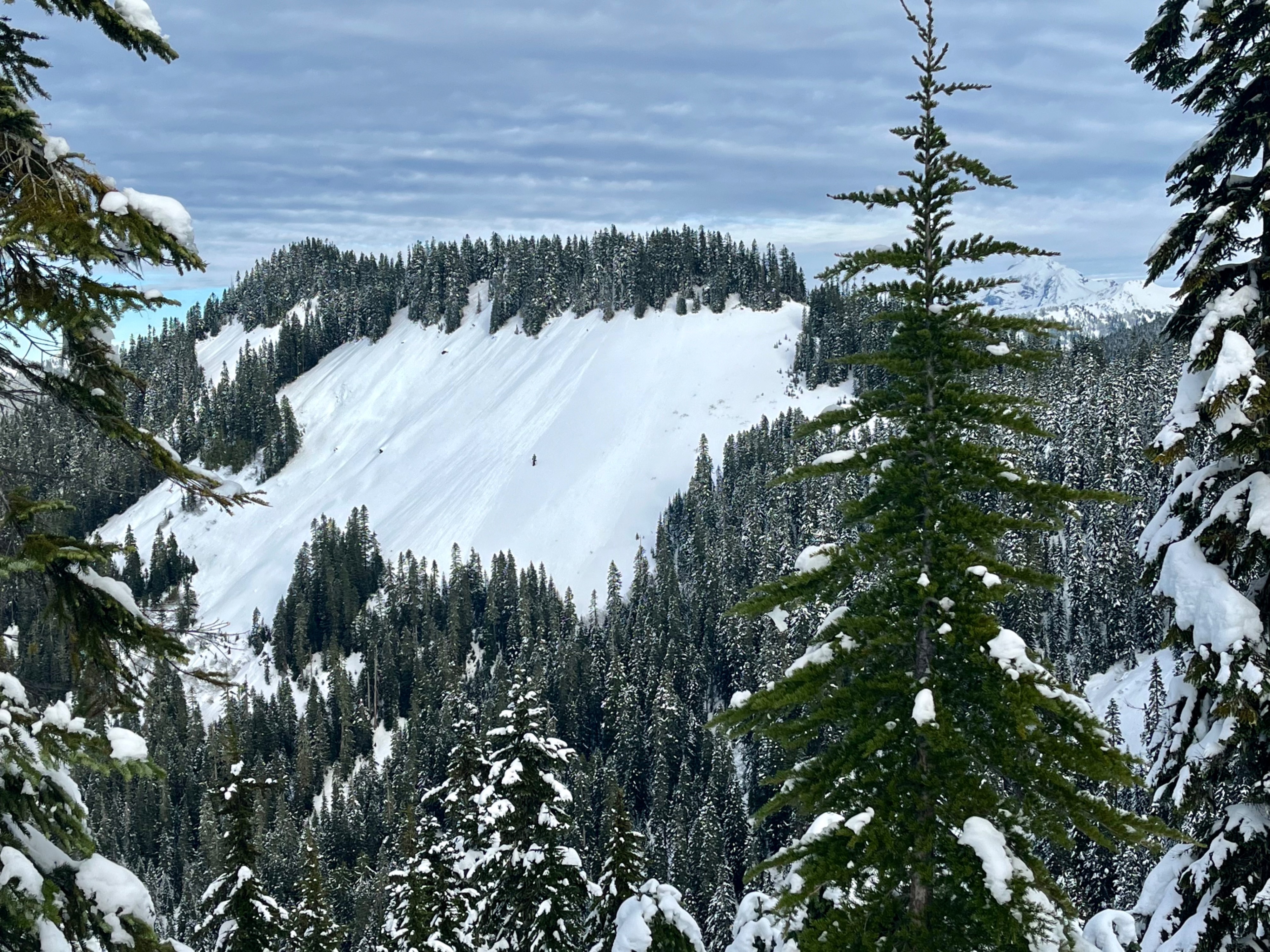
A crust was found 5-10cm beneath the surface in most areas from 3500ft and up, with a coating of low density snow on top. This new snow had surface hoar at the surface, and near surface faceting was occurring in many places I checked on all aspects but south. On southerly aspects this layer already had slight stiffening due to previous sun breaks, and then became moist today. Very few small rollerballs were noted, primarily from previous days.
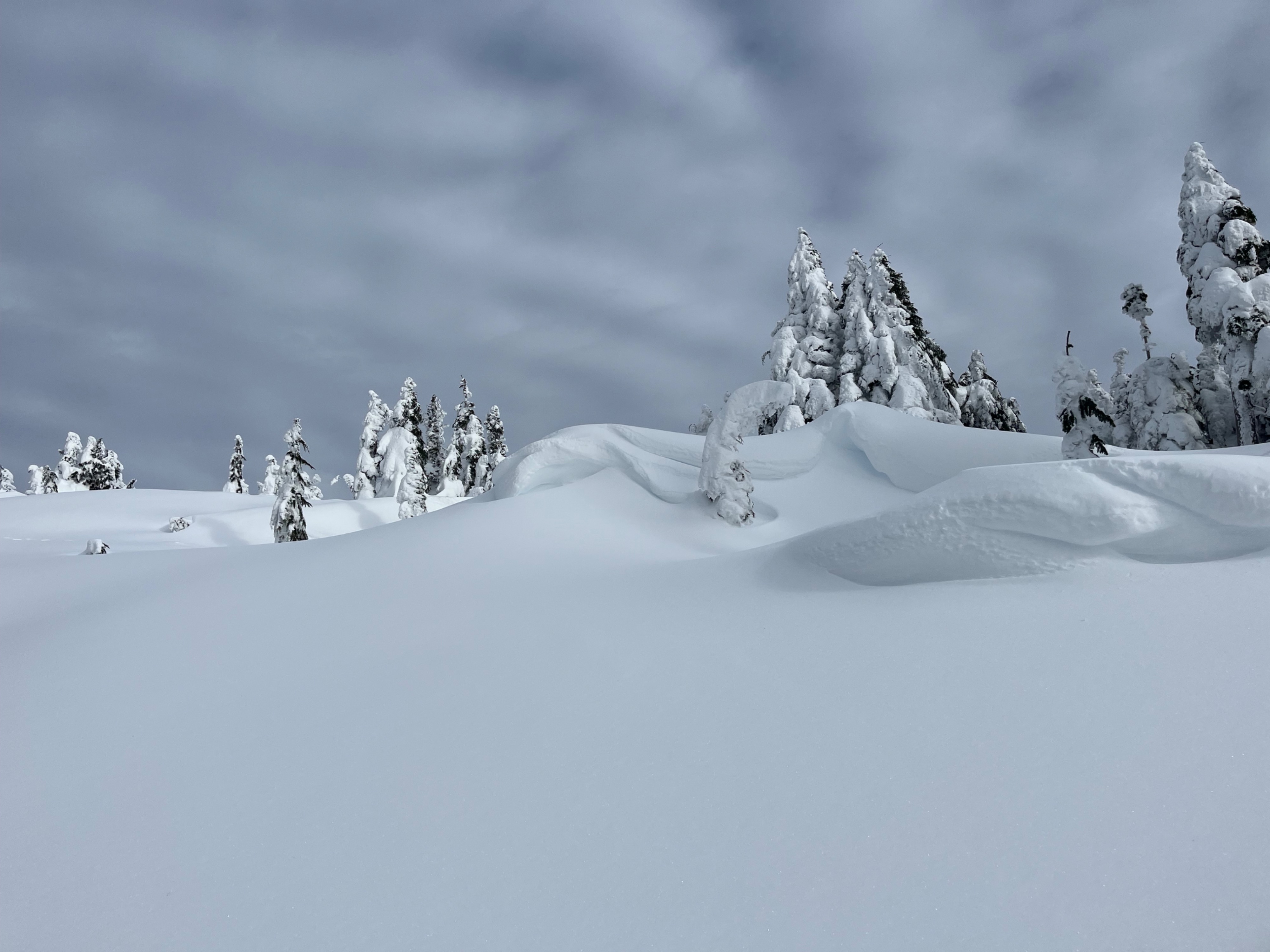
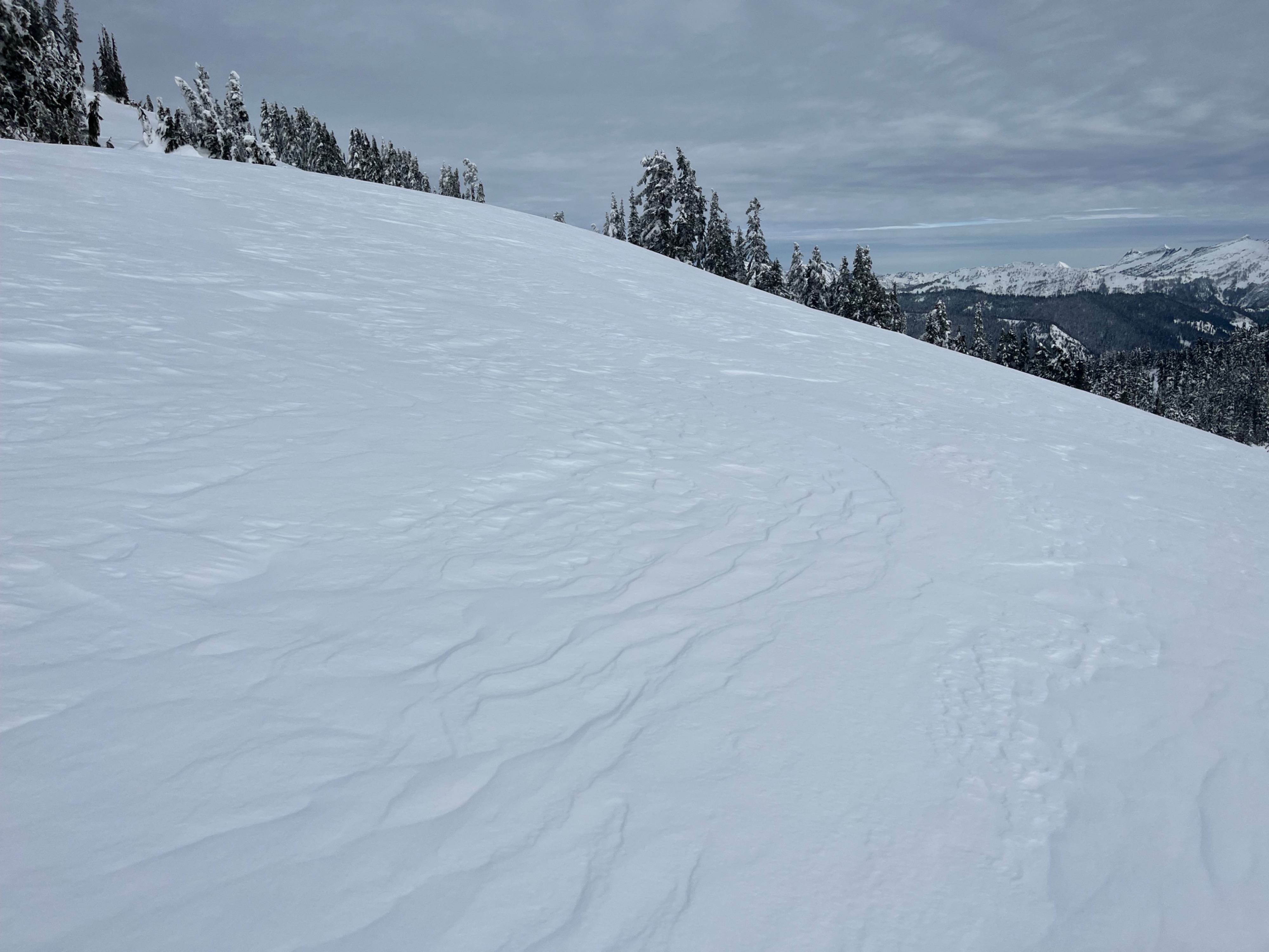
Above about 4500ft old signs of wind drifting began to appear. It was most pronounced about ~5500ft, where a broad ridge had a textured surface and localized cracking happened around my skis. A few large drifts were nearby as well, but all locations didn't produce any shooting cracks and were unreactive.