
Quick report
- Cracking
- specific
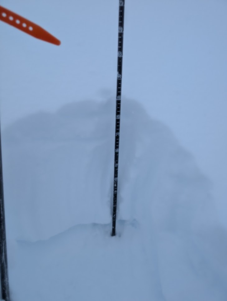
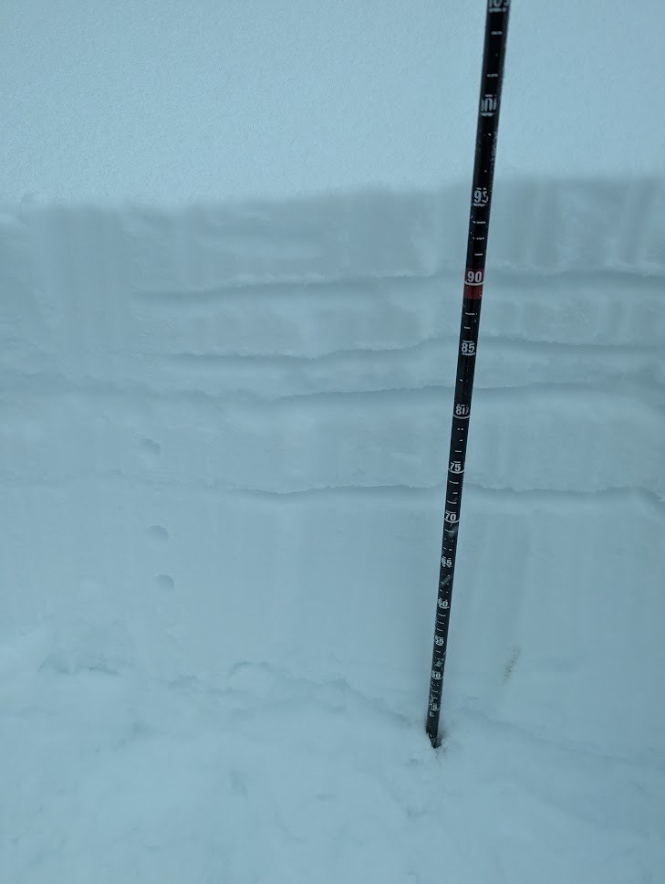
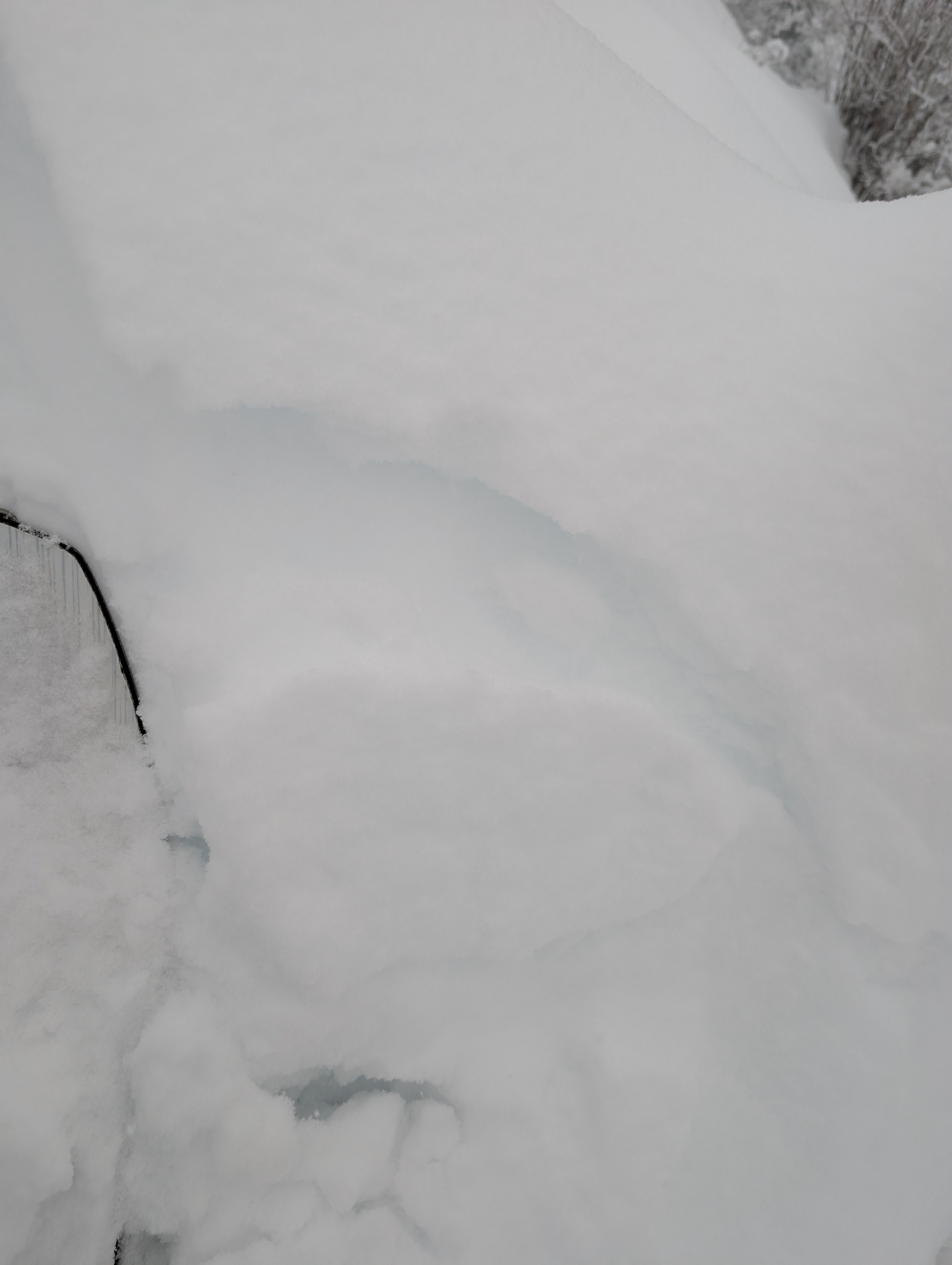
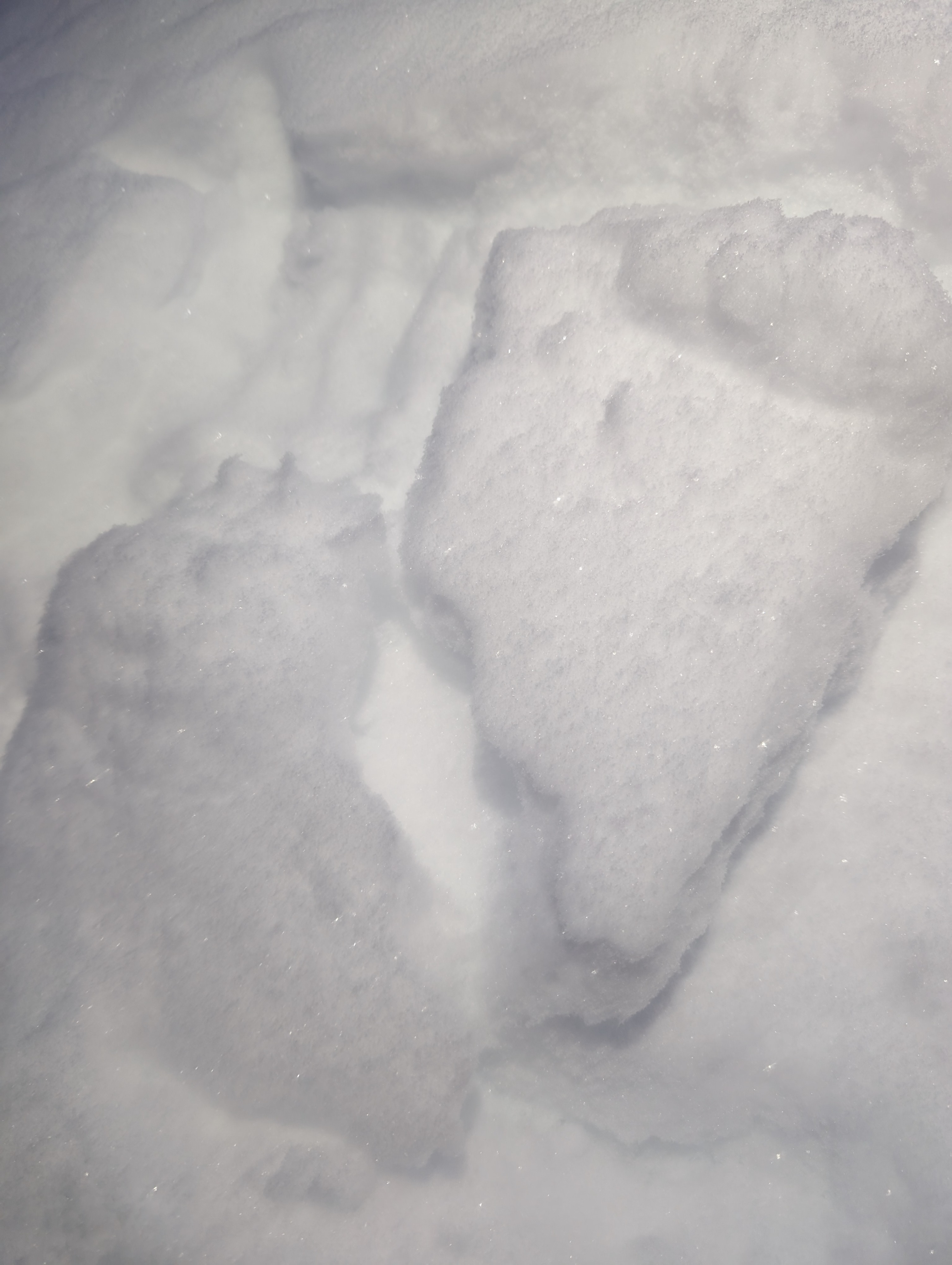
Today was great storm skinning/skiing for a quick dig at first light this morning. Hazard increased subtly during peak snowfall on solar aspects and NE BTL with multiple crusts and weak grains making themselves apparent with just a few inches of new snow. With a small storm and early exit from the field (0930), nothing crazy jumped out today, but (and a nuanced "but") things are especially funky in the recently rain and melt-freeze crusted BTL and lower NTL of the East Central. For now we have a reasonably deep upper mid- and high-elevation snowpack (155cm @ 5100'), with more snow than rain to date (above ~4500'). Below 4500' the snowpack has substantial complexity due to recent rain and warm valley temps with just enough new precip and clearing to allow faceting and surface hoar to form over the holidays. At 4000', last weekend's (12/28) rain crust and subsequent refreeze (MFcr/IFcr) developed facets above it before being buried by wet snow that crusted Tuesday 12/31. Surface hoar developed 1 or 2 Jan before being buried 3 Jan (6 cm down). These layers are all suspect, all apparent in pits, and the 12/28 crust 15-20 cm down is where I found the greatest weakness today at 4000' on NE(CT 11 Q2, CT11 Q2, CT 13 Q2). Notably, on exit, as snowfall oscillated between S2 and S2+, I was able to intentionally trigger multiple small storm slabs on convex rollovers, the depth of the 12/28 crust. These were deeper higher, and shallower lower, but all failed on facets above the 12/28 crust. The elevation range of weak snow is basically relegated to the BTL below ~4500' at present, with more confidence and right side up hardness as one ascends above 4500'. Cracking was initially isolated to steep microfeatures during uphill travel and during peak precip mid morning (0800). Cracking was more common by downhill travel at 0900, originating on buried surface hoar and/or small grained facets at two locations in the snowpack: on small facets just above the 28-29 melt-freeze/rain crust (low elevations BTL and south), or the interface being formed during storm snow today (all aspects and elevations travelled), which was burying surface hoar at all elevations.
Weather
- Air Temp
- 24
- Cloud Cover
- obscured
- Wind Loading
- light
- Rain Elevation
- <1000'
- Recent Snowfall
- 12
- Snow Avail For Transport
- large amounts
Moderate easterly topographic winds at 0600 @2200'-3200' turning to light southwesterly as the front rolled through. Occasional moderate gusts out of SW/W/NW, but largely light and just snowing hard by 0900 at 5000'. Snowing S2+ with obscured sky during entire travel period, with periodic bands of S5. Threeish hours of skiing and 12 cm on the truck bed when I returned.
Snowpack
3000' E - HS 65-75 cm. Of note was today's storm interface over surface hoar at 5cm and then facets over the 12/28 crust capped by new snow since 12/30 4000' NE - HS 95cm, surface hoar layer buried at 5cm early in storm. Same 12/28 crust as 3000', but slightly deeper (12-20cm down) 5100' SE - HS 155, surface hoar buried under 10cm at 0900. Crust falls out, and right side up snowpack in top 50cm.
Avalanche
- Size
- D1 R1
- Type
- SS
- Count
- 2
- Aspect
- E
- Trigger
- AR
- Elevation
- 3500 ft
Ski cuts in the lower BTL would release new snow over the 12/28 crust (SH or facets over crust depending on aspect) relatively consistently on slopes over 35 degrees and steep convex rollovers.