
Quick report
- Cracking
- isolated
- Collapsing
- isolated
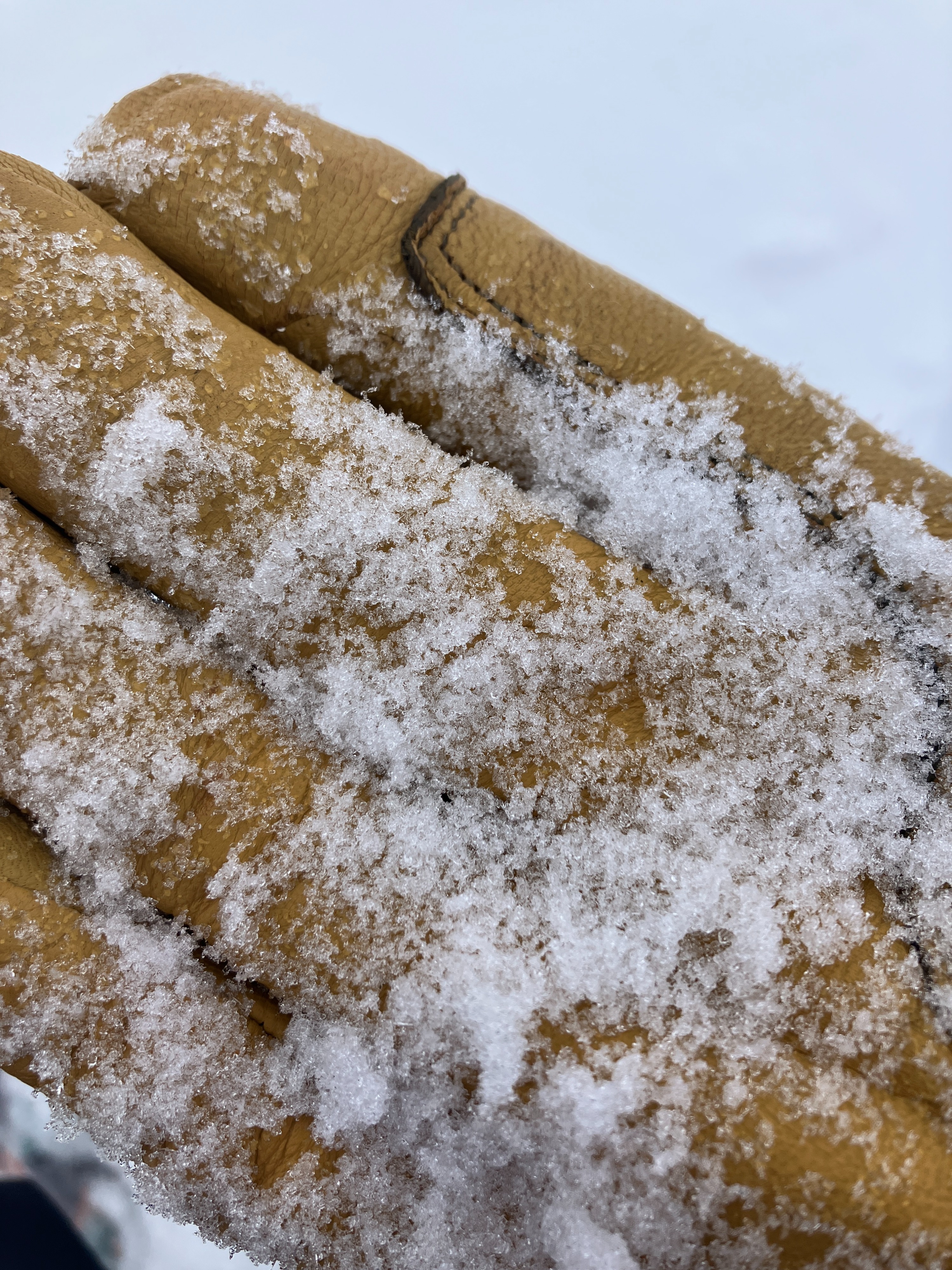
The forecasted whopper of a storm had underproduced in the areas of Baker Creek we travelled today. 3-5" of new snow had accumulated above 8000' by 3pm with an increasing snowfall rate as we left the field. The rainline crept up throughout the day to ~7400'. Although we only experienced faint signs of instability, weak sugary facets from the January drought continue to prove unstable in testing (snowpack section for more info). We also found near surface facets (pictured) just below the new snow surrounding an isolated thin crust on WNW-facing slopes. Winds increased around 1:30pm and were actively transporting snow. We gave all avalanche terrain a wide berth today and kept our margins extra-wide with the very limited visibility.
Very localized cracking in a targeted wind-loaded ridgetop location, but not observed anywhere else. Heard two faint and small collapses while on skis - one in sheltered trees and the other along a wind-scoured ridgeline.Weather
- Air Temp
- 30ish
- Cloud Cover
- obscured
- Wind Loading
- light
- Recent Snowfall
- 10+
- Snow Avail For Transport
- moderate amounts
Winds increased around 1:30pm with consistent light gusting moderate winds from the W and NW reaching down to 8000'. S-1 snowfall rates that increased in the late afternoon. Rain line began at 7000' and rose to ~7400' by 3pm.
Snowpack
- Only ~3" of new snow had fallen at the Baker Lake TH by the time we arrived there at 12:30pm and another inch or two fell by the time we left at 2:45pm.
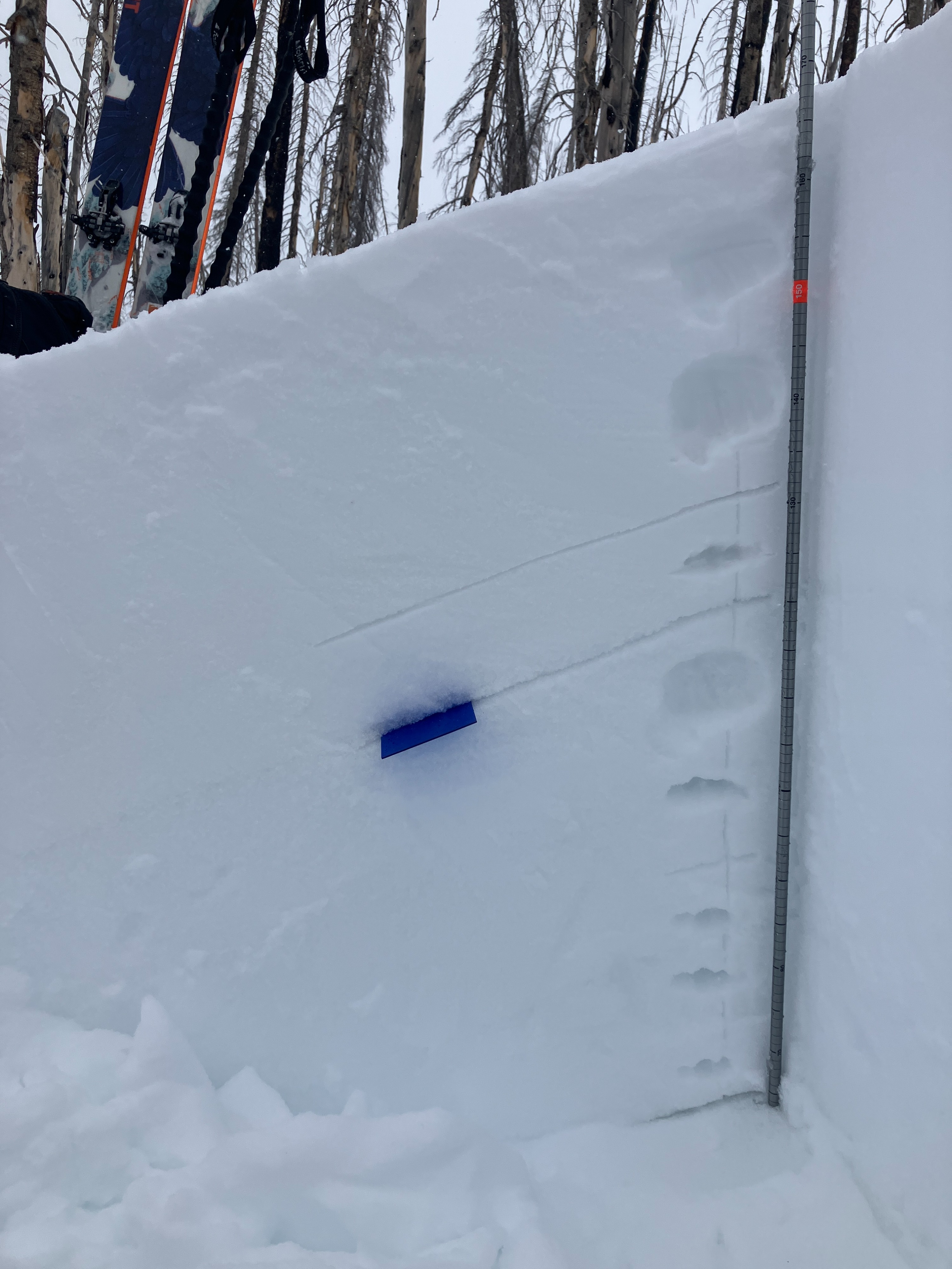
- We found both the 2/16 buried surface hoar persistent weak layer (~35cm ↓) and the very weak, sugary January drought facets (~50cm ↓) on the sheltered northerly slopes that we travelled on. These both failed but did not propagate under hard force in an ECT test (ECTN24 simultaneously). The January drought facets produced an unstable PST result (PST 35/100 END).
- We also found a variably distributed razor thin crust facet combo buried under the 15cm of new snow on WNW aspects (solar margin)... but its distribution was spotty.
- The new/old snow interface seemed to be well-bonded so far