
Quick report
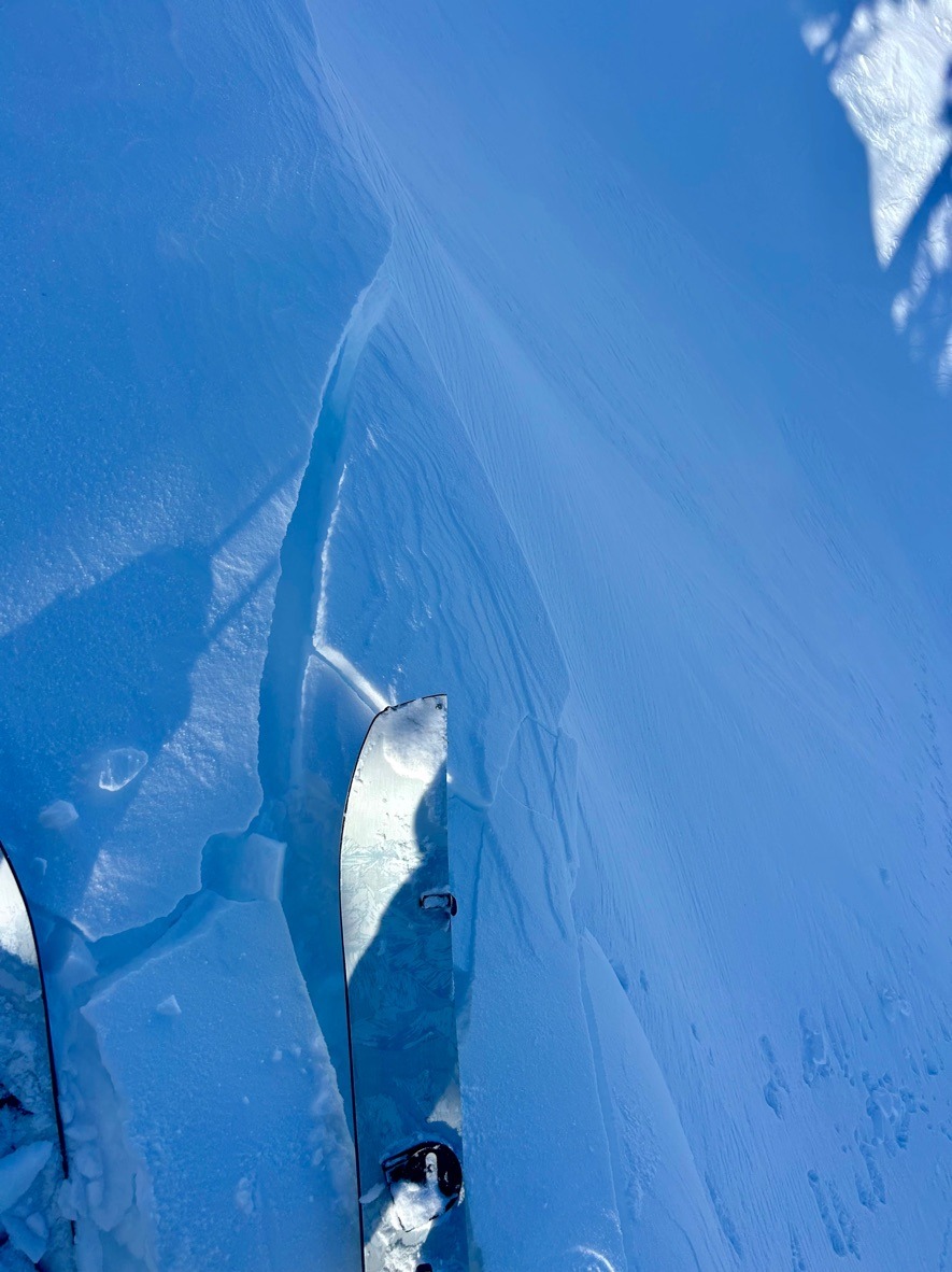
- Cracking
- specific
Instabilties were confined to wind loaded slopes at middle and upper elevations.
Weather
- Air Temp
- Below Freezing
- Cloud Cover
- few
- Wind Loading
- moderate
- Rain Elevation
- 3000 ft
- Recent Snowfall
- HN24: 8 in/.90 swe
- Snow Avail For Transport
- large amounts
This morning actually felt like winter - cold, crisp, and fairly calm. Clouds decreased through the morning hours which made for a bluebird afternoon.
Snowpack
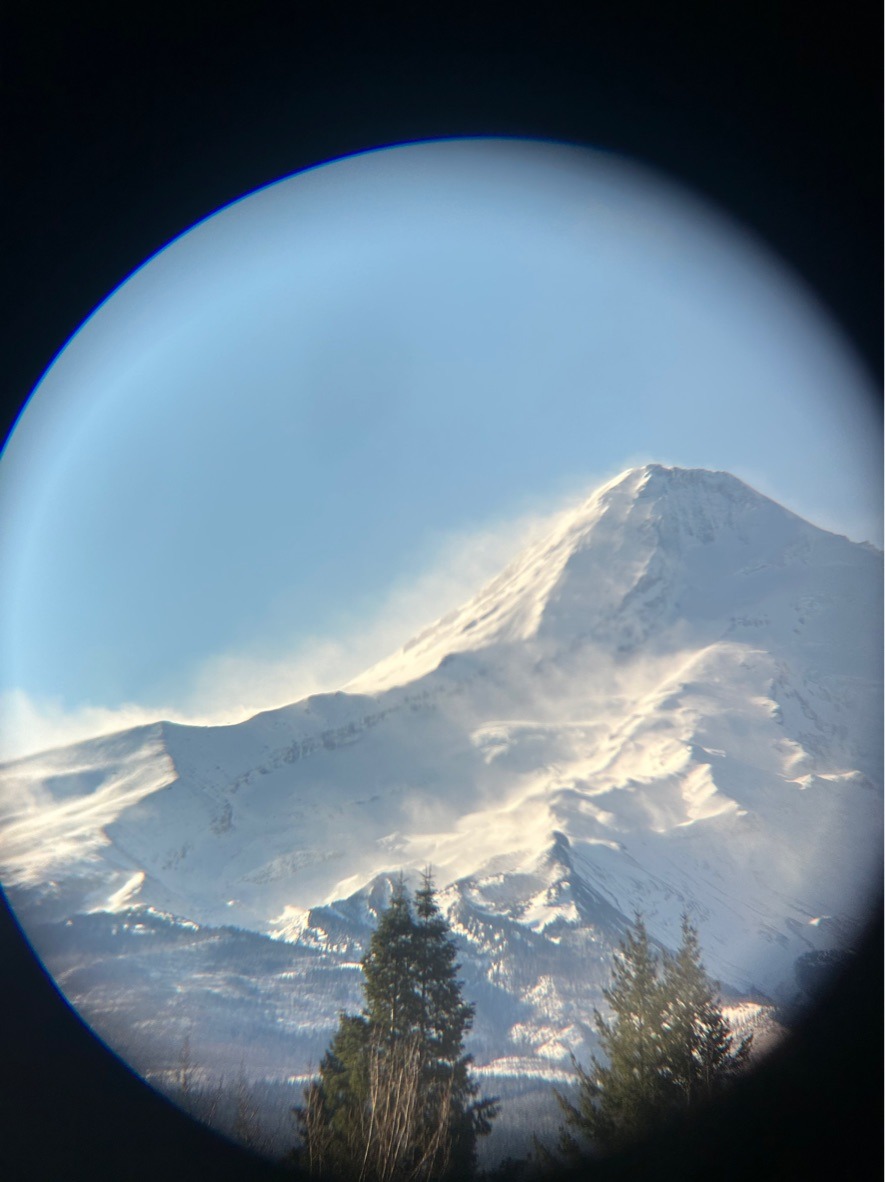
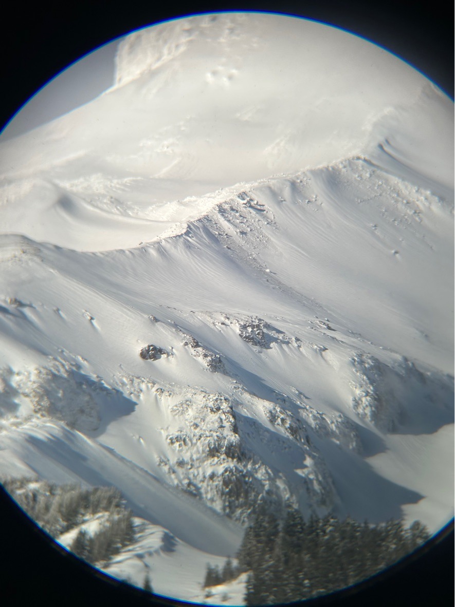
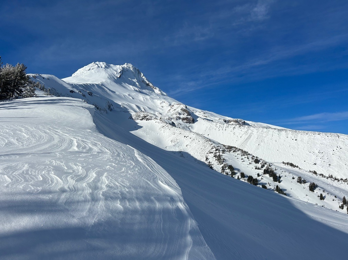
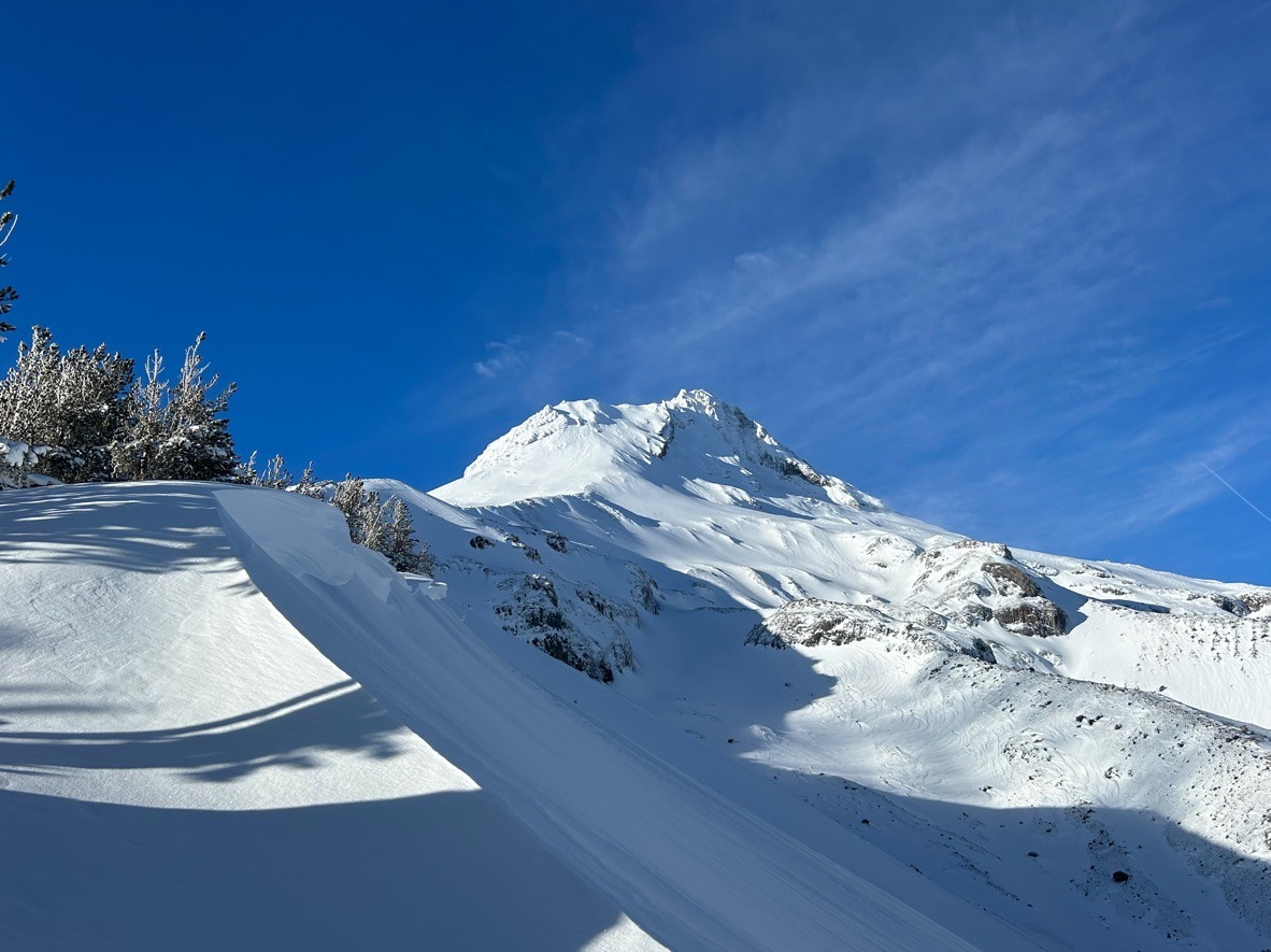
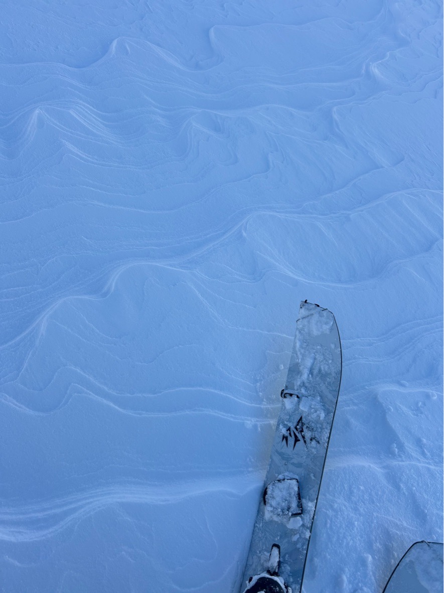
At the start of the day, the first thing I noticed from Parkdale was the heavy drifting above treeline on the north side of Mt Hood. Fortunately, winds chilled out as the day progressed.
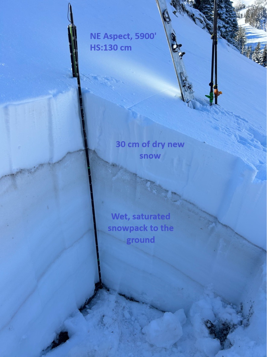
Generally, I was observing 30-35 cm of new cold snow sitting on the 12/6 melt-freeze crust. Hand pits and snowpack tests generally showed a good bond to the old snow surface. Below the 12/6 crust, the snowpack is wet and saturated to the ground. Below treeline, lacks much of a slab and in some areas, this new snow sits on bareground.
As I moved higher in elevation, HS became notably deeper ( 75-130 cm above 6000 ft) and signs of recent wind loading became more pronounced. Wind slabs started becoming more reactive on test slopes producing shooting cracks and even a couple small slabs < 6 inches deep. These slabs generally ranged from 4F-1F in hardness.
Overall, I enjoyed good ski quality on sheltered slopes at mid-elevations and quite sharky travel down low. Early season hazards are still very prominent - so ride carefully to prevent injury!