
Quick report
I didn't see any fresh avalanches. I expected to see some small slides somewhere, so this was a little surprising. The warm temps and sun produced some small rollerballs coming off of exposed rocks on sunny aspects at middle elevations near Galena Summit, but I didn't see any natural Wet Loose activity.
Fresh, small roller balls starting in the rocks on SW-S-SE roadcuts up to Galena Summit and in Verlons path at the pass. 8300-8700'.Weather
- Air Temp
- upper 20s and 30s F
- Cloud Cover
- few
- Wind Loading
- previous
- Recent Snowfall
- 0-3cm roadside
- Snow Avail For Transport
- moderate amounts
Skies quickly cleared after 2:30 PM from around the SHRA Headquarters to the central Sawtooths (Imogene/Decker). The northern Sawtooths were still obscured with low clouds. The WRV south of Durrance/SNRA HQ was also socked in with low level clouds. Around 3:30 PM, W winds were sifting a little snow over ~11,000' ridgelines in the Boulder Mtns, but no wind-loading.
Snowpack
No formal observations other than brief roadside stops.
Surfaces were moist/damp below 7200' and on solars (W-SW-S-SE) up to 8700'. Many of these surfaces were freezing and beginning to form crusts where the skies were clear after 3 PM.
Avalanche
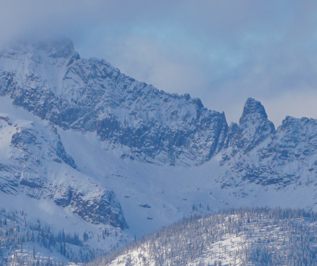
I saw a significant, but older, slide on the SE face of Decker Peak in the central Sawtooths (alpine terrain under large cliffs, 9800' SE, see photo). The crown is still visible but blown in, and the track/debris has been obscured by snow + wind. Best guess is that this occurred during the 12/18 northerly wind event?