
Quick report
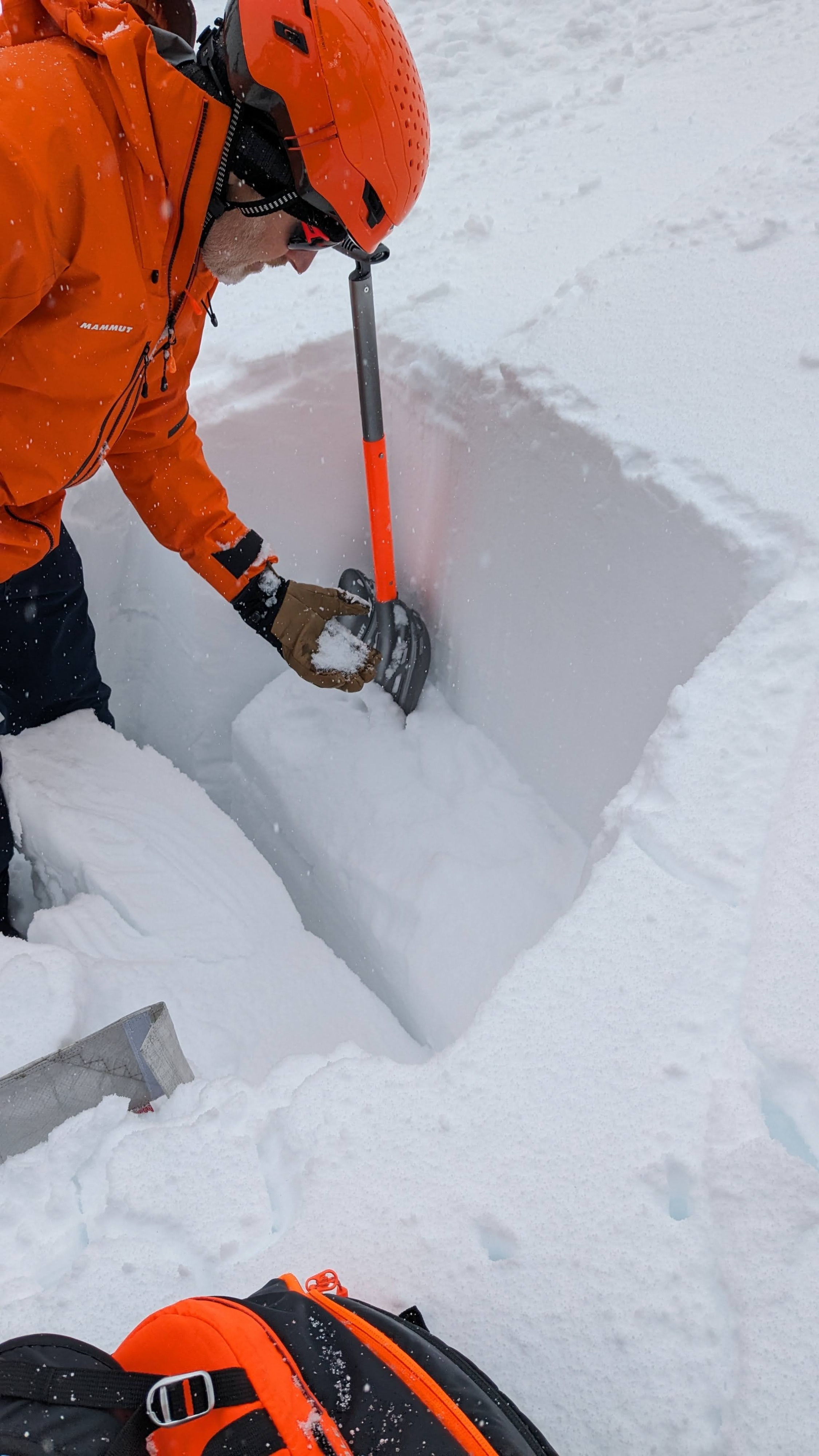
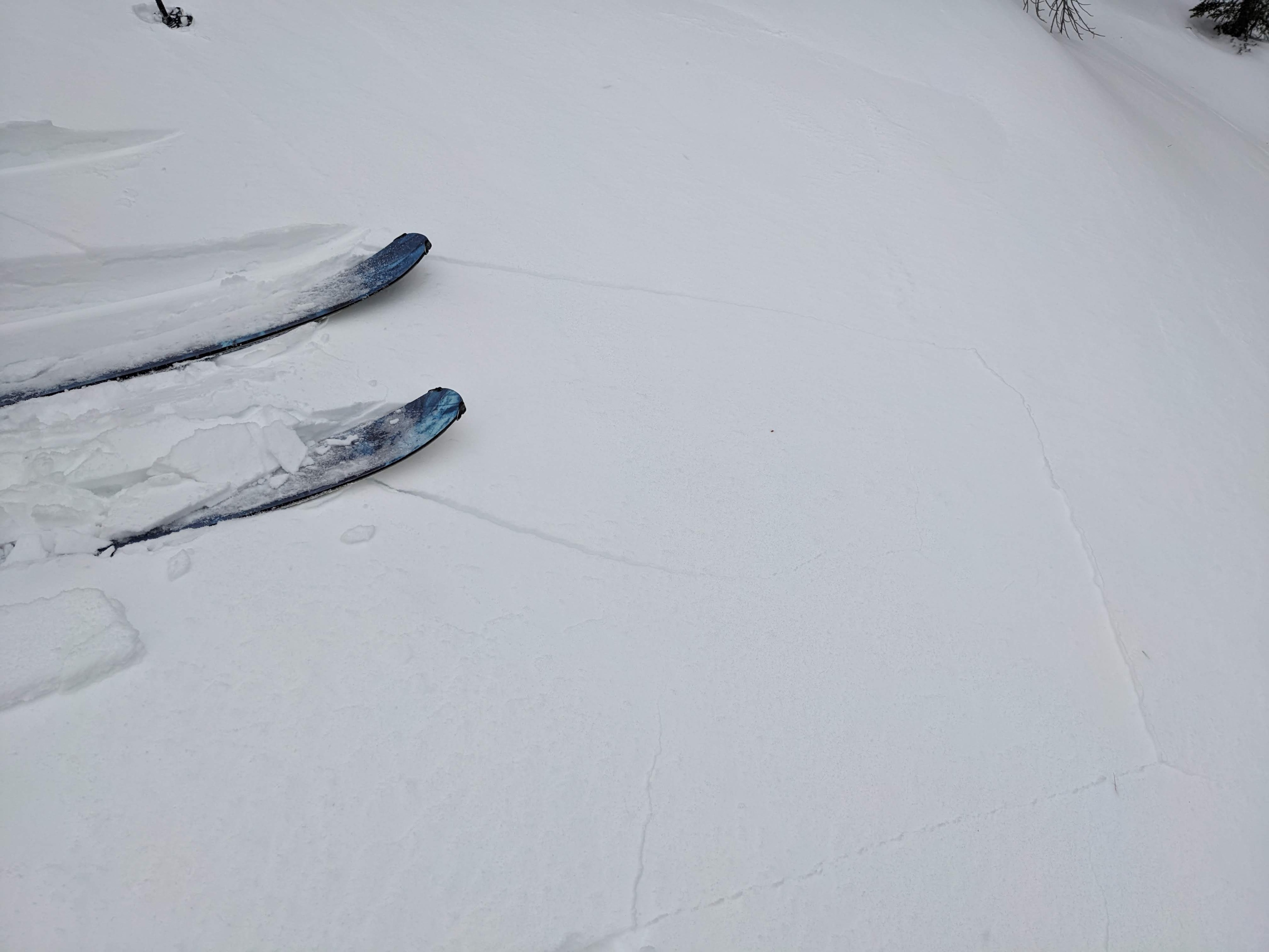
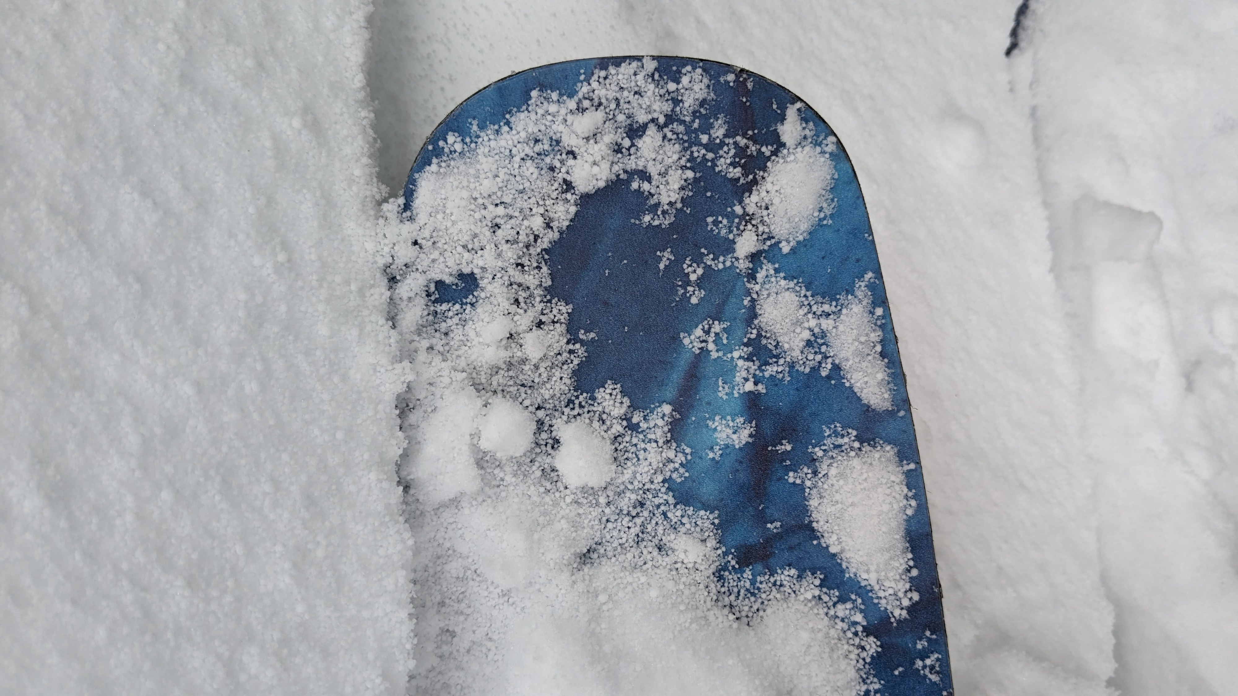
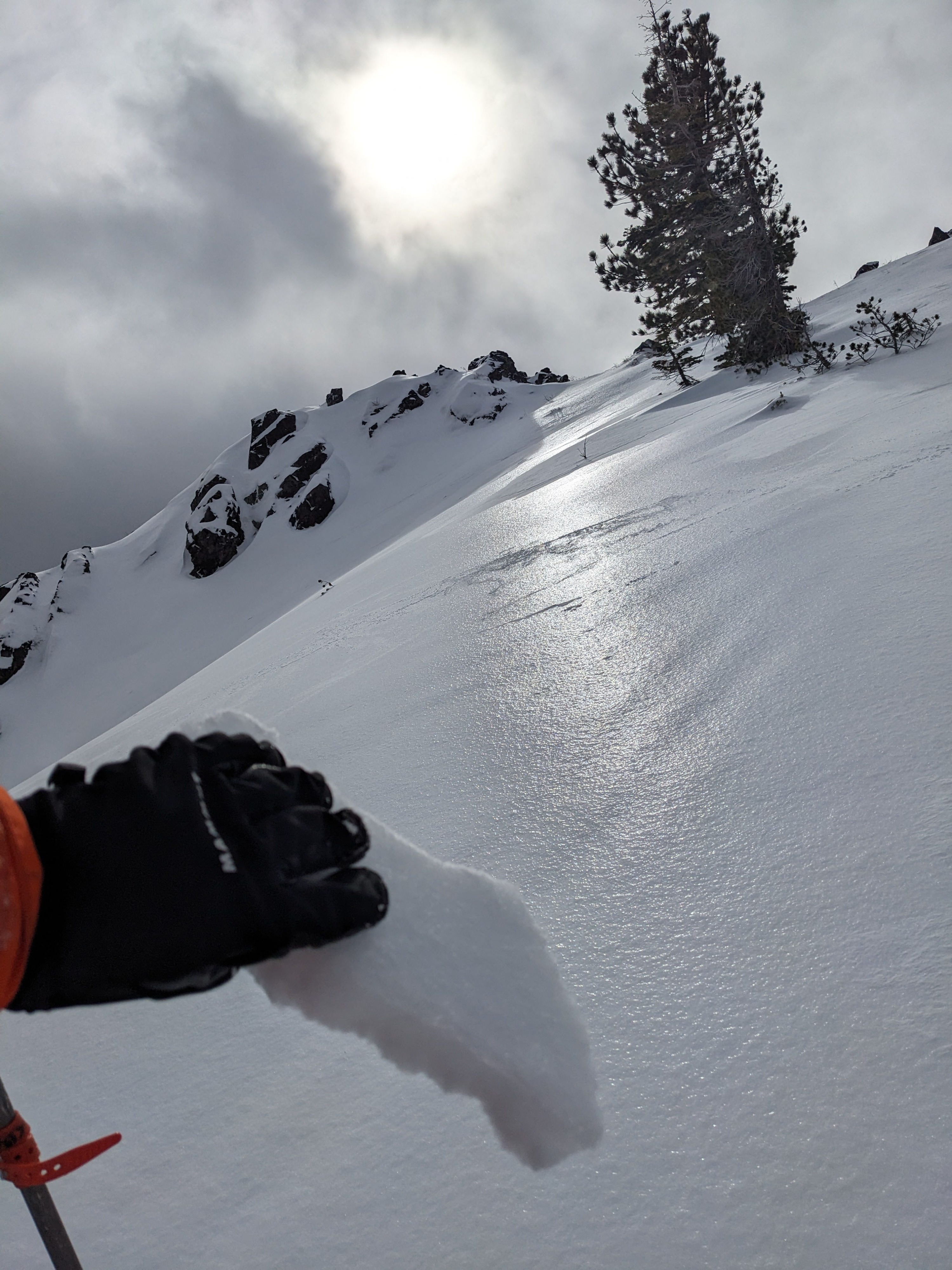
The light rain that greeted us at the trailhead quickly changed to light snow once we got above 6500 ft. It had not snowed enough to cover up the rain crust, and we could see and feel that crust in most places we went on Silver Peak today. In the sheltered, low-elevation areas, wet snow still existed on the surface in some spots. As we climbed higher on the ridges, we saw some blowing snow and the beginnings of wind slabs. These wind slabs remained small due to the meager amounts of new snow available for transport. We noticed that much of this new snow fell as graupel. These pellets of snow landed on top of the existing rain crust. This combination of graupel on top of a crust has caused avalanche problems in the past, so it will be worth watching. We left the ridge and dug into the snow halfway down a low-angle slope. We found the Jan 2 persistent weak layers buried 1.5 to 2 ft below the surface. Tests on the persistent weak layer still produced unstable results (ECTP 23).
Weather
- Cloud Cover
- overcast
- Wind Loading
- moderate
- Rain Elevation
- 6500
- Recent Snowfall
- 2
- Snow Avail For Transport
- small smounts
We encountered less intense weather than expected on Silver Peak this morning. Small breaks in the storm followed short precipitation periods for much of the morning. Most areas had only received about an inch of new snow by 1 pm. Strong winds picked up what little snow had accumulated and piled it onto the leeward sides of ridges. Snow level hovered around 6500 ft. this morning.