
Quick report
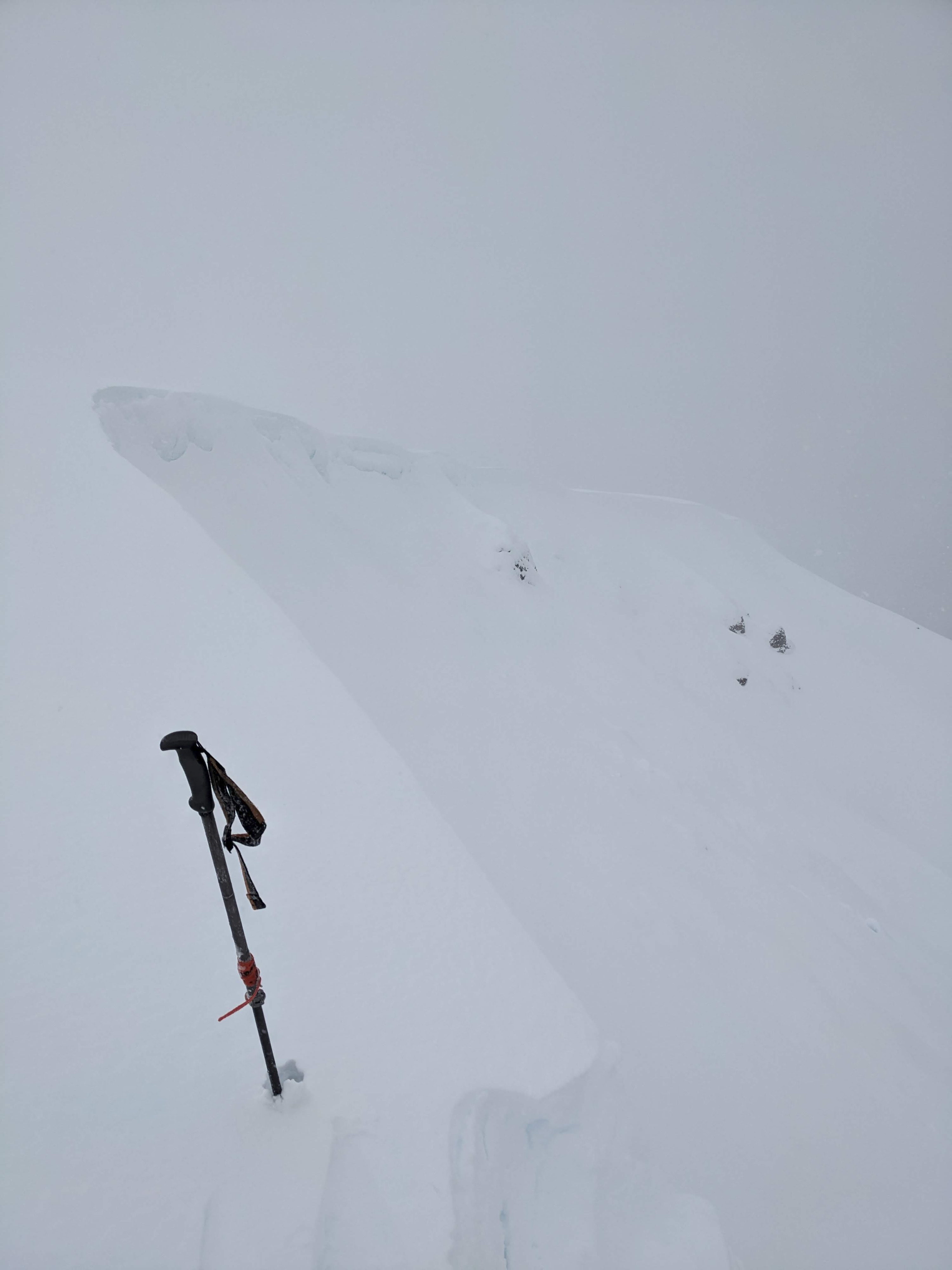
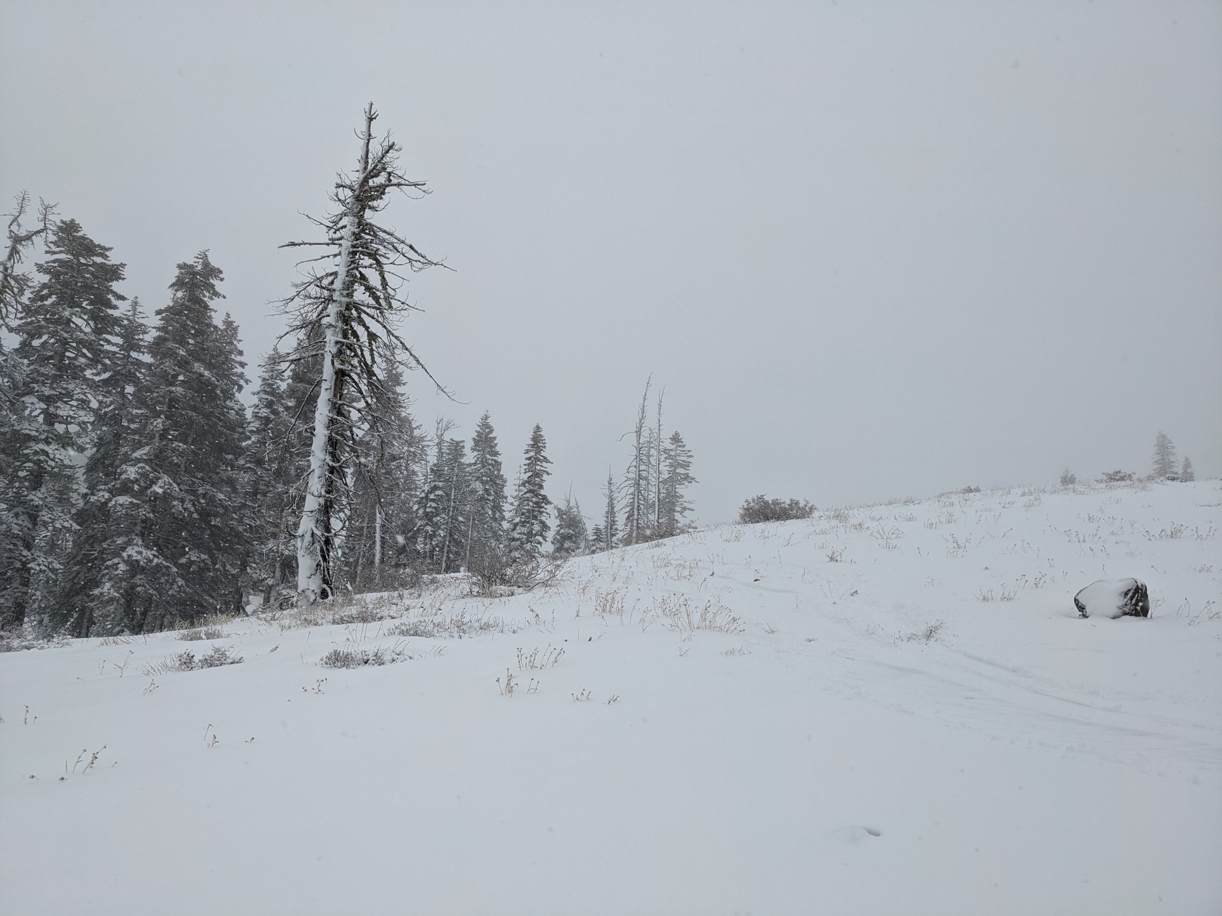
Driving up to Donner Summit, I noticed that the rain changed to snow at around 7000 feet. The snow line did fluctuate between 7,000 and 7,500 feet, allowing much of today's precipitation to fall as heavy wet snow on the Sierra Crest. We noticed cornices building along the ridgelines during our tour and piles of wind-loaded snow on the leeward sides of the ridges. When we kicked and ski-cut small wind-loaded test slopes, we had no wind slab failures. We only caused small cracks that were less than 1 ft long. All the snow that fell today was heavy and wet, and we could tell it had rained to the tops of the ridges (at least 8300 ft). Below the new snow, the old snowpack was wet to the ground (see the snowpack section for more details).
Weather
- Air Temp
- 32 ° F
- Cloud Cover
- overcast
- Wind Loading
- moderate
- Rain Elevation
- 7000 - 7500 ft
- Recent Snowfall
- 10 cm
- Snow Avail For Transport
- moderate amounts
The SW winds remained strong along the Sierra Crest. Precipitation continued all day with some pulses of more intense snow/rain. The snow line seemed to bounce between 7,000 and 7,500 feet. These lower-than-expected snow levels resulted in more blowing snow than expected as well.
Snowpack
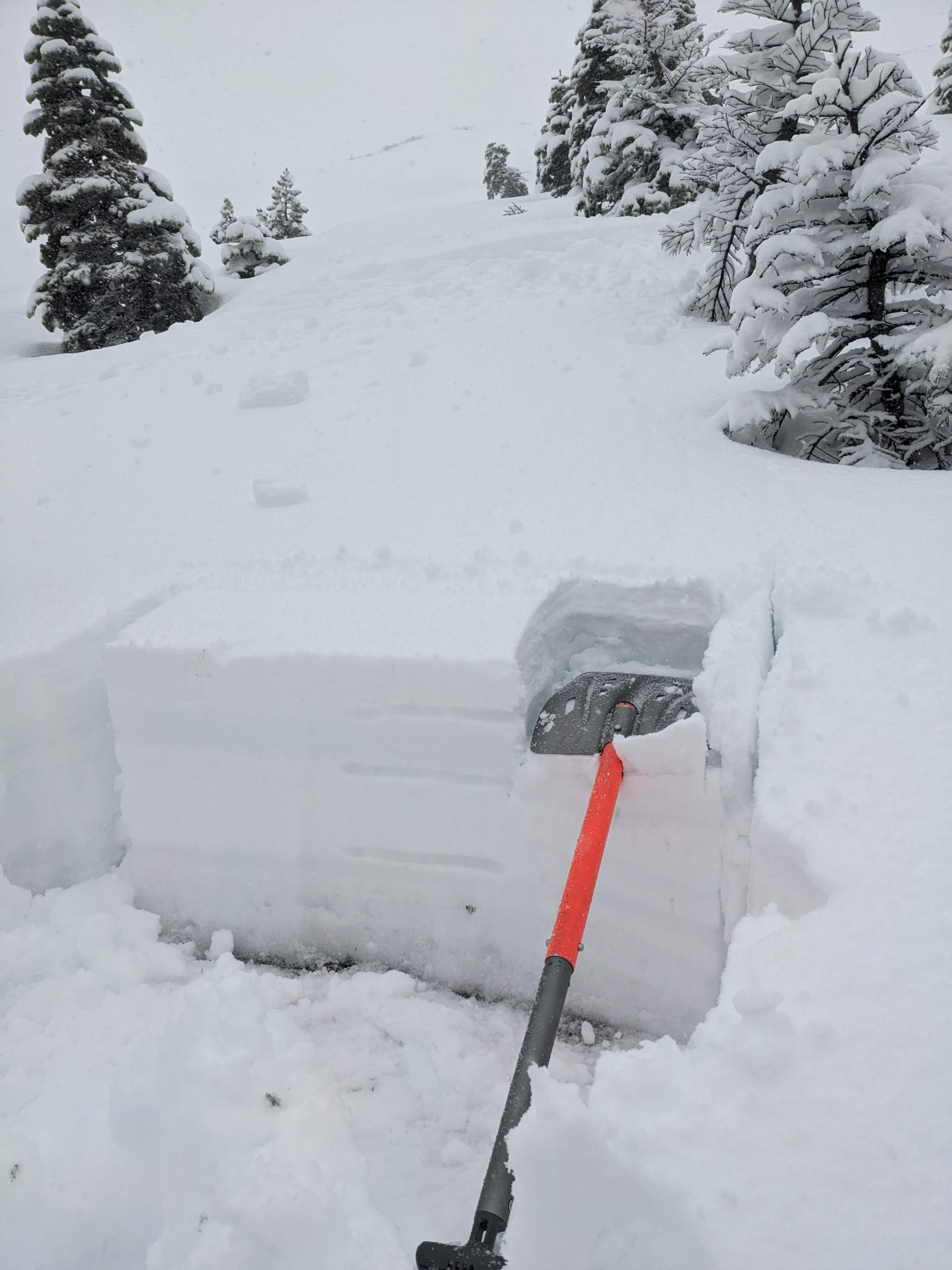
10 cm (4 in) of heavy, wet, new snow existed on top of a rain-soaked snowpack between 7000 ft and 8300 ft. The rain made the old snow wet, and it easily clumped together. We could still see the old layers, but our tests did not produce unstable results in the wet snowpack.