
Quick report
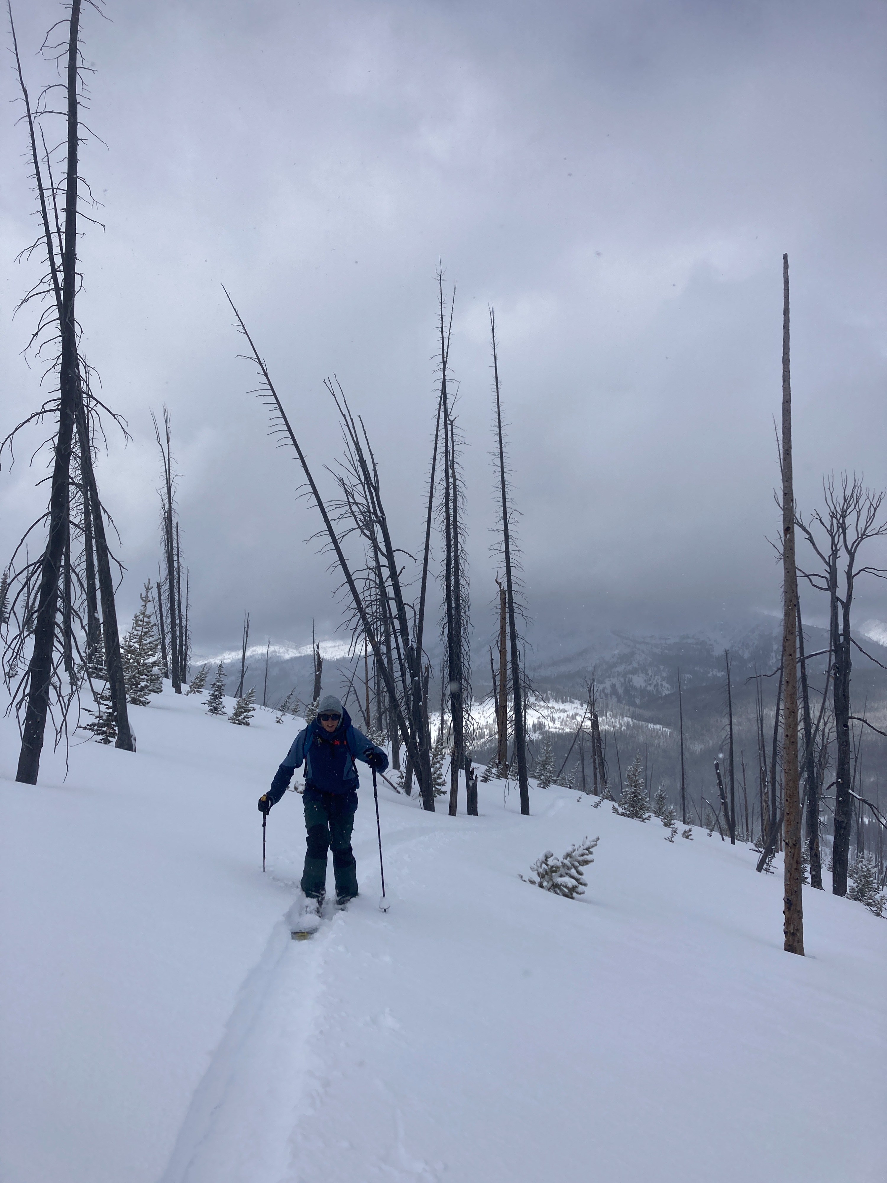
Overall, stable and soft conditions were observed on our travels today. I do not expect these conditions to last with the weekend weather forecast. Heavy snowfall, strong winds, rising temperatures/rain levels will create dangerous avalanche conditions this weekend. I am most concerned about new, heavier snow falling atop the soft, light snow at the surface today. This will create upside down storm/wind slabs.
No signs of instability observed on our tour today.Weather
- Cloud Cover
- overcast
- Wind Loading
- moderate
- Rain Elevation
- <5000'
- Recent Snowfall
- 25-30
- Snow Avail For Transport
- moderate amounts
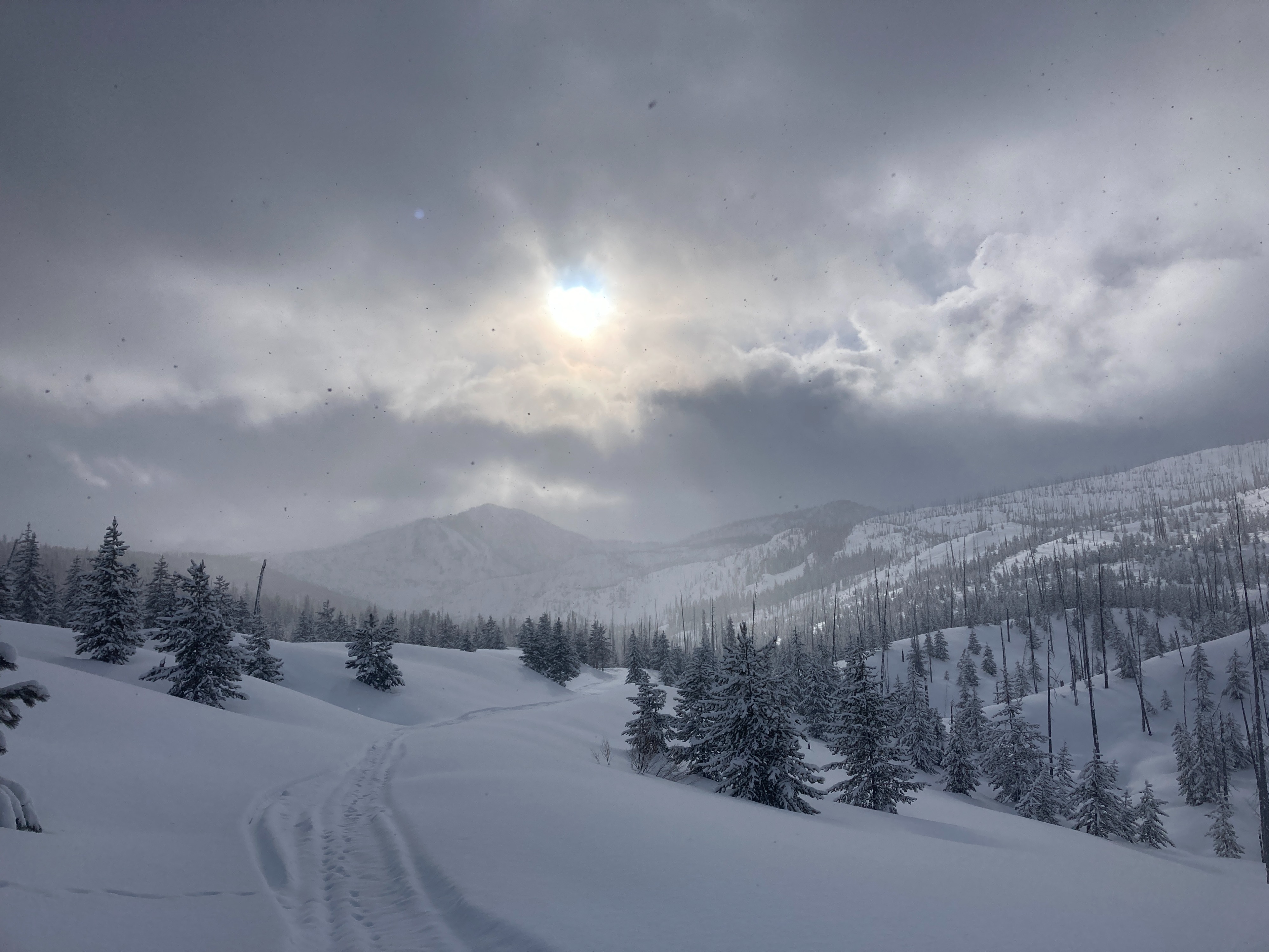
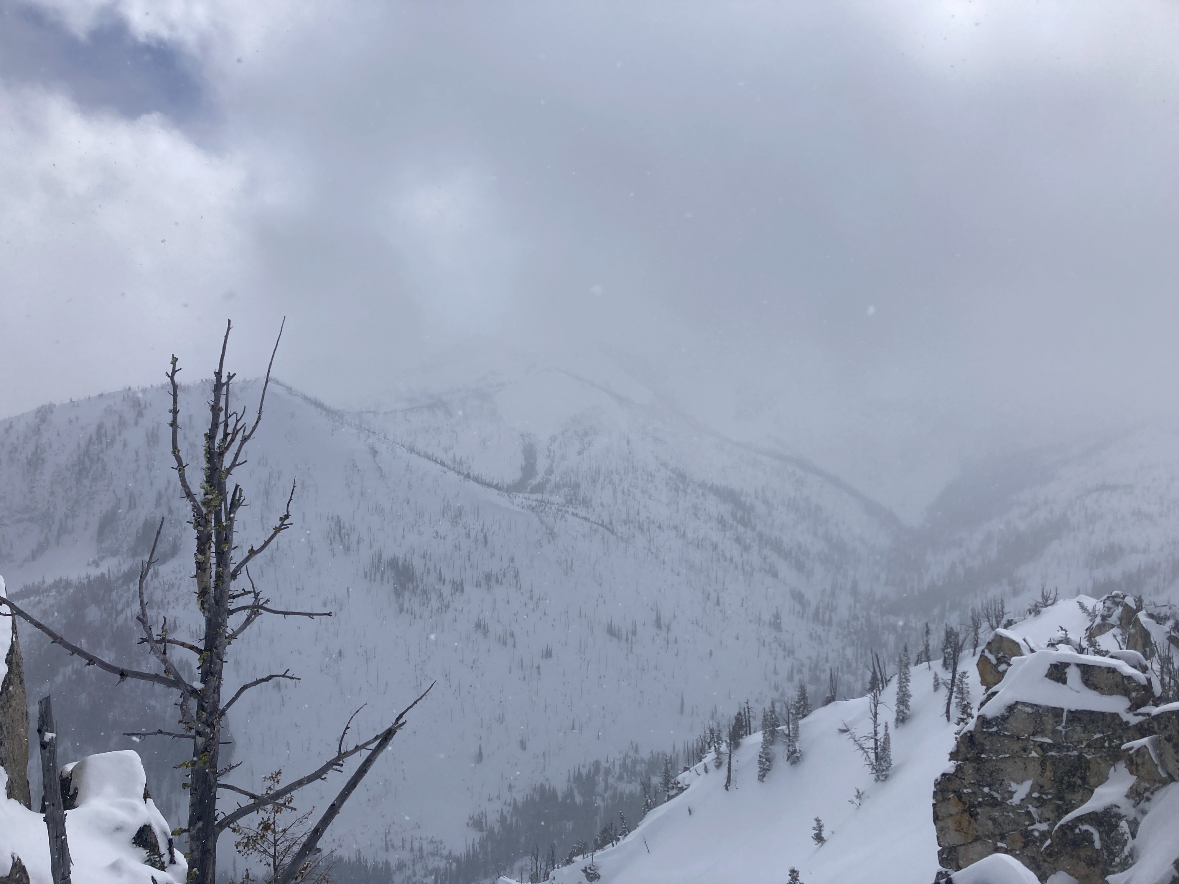
Overcast skies with scattered snow showers off and on throughout the day. SW winds were blowing moderately also off and on. Not much accumulation to speak of during the day. Winds and snowfall were beginning to increase more consistently around 1500. Francis Wallace parking lot was a wet, muddy mess.
Snowpack
25-30 cm (10-12") HST since Wednesday. New snow is mostly rightside up with denser (4F) snow near the new/old interface and lighter, soft (F) snow for the upper 6" at the surface. No slab observed during our travels today. Wind slabs were isolated where we traveled. The new snow was soft and unconsolidated in this zone today. We dug two pits today. One was at 6910', SW aspect, HS 185 cm (6'). New snow was 25 cm (10"). ECTN 11, CT 9 Brk, 20 cm (8") down within recent storm snow. New snow was resting on several inches of knife-hard melt freeze crusts. Second pit was 8150', NE aspect, HS 245 cm (8'). New snow measured 30 cm (12"). ECTN 11, 20 cm (8") down within recent storm snow. ECTN 23, 50 cm (20") down on small rounds. SkiPen was 20 cm (8"), BootPen was 40 cm (16").