
Quick report
- Cracking
- isolated
Testing the new platform. Bottom line: The weak upper snowpack will form a lingering pattern during future storm cycles and is a future red flag, mostly on the north-half of the compass. Last week’s snow has rapidly deteriorated with the shallow snowpack. This will be similar to the current conditions being observed in the base of the snowpack but will be a 2nd issue in the mid-pack and has the potential to linger longer than most folks are used to in this area. I avoided avalanche terrain for many reasons, mainly low-tide and basal facets. This new form needs a checklist for all of the red flags and a preview. Primary red flags today: Poor snowpack structure. Minor cracking
Weather
- Cloud Cover
- clear
- Wind Loading
- none
- Snow Avail For Transport
- moderate amounts
Light breeze from the NE.
Snowpack
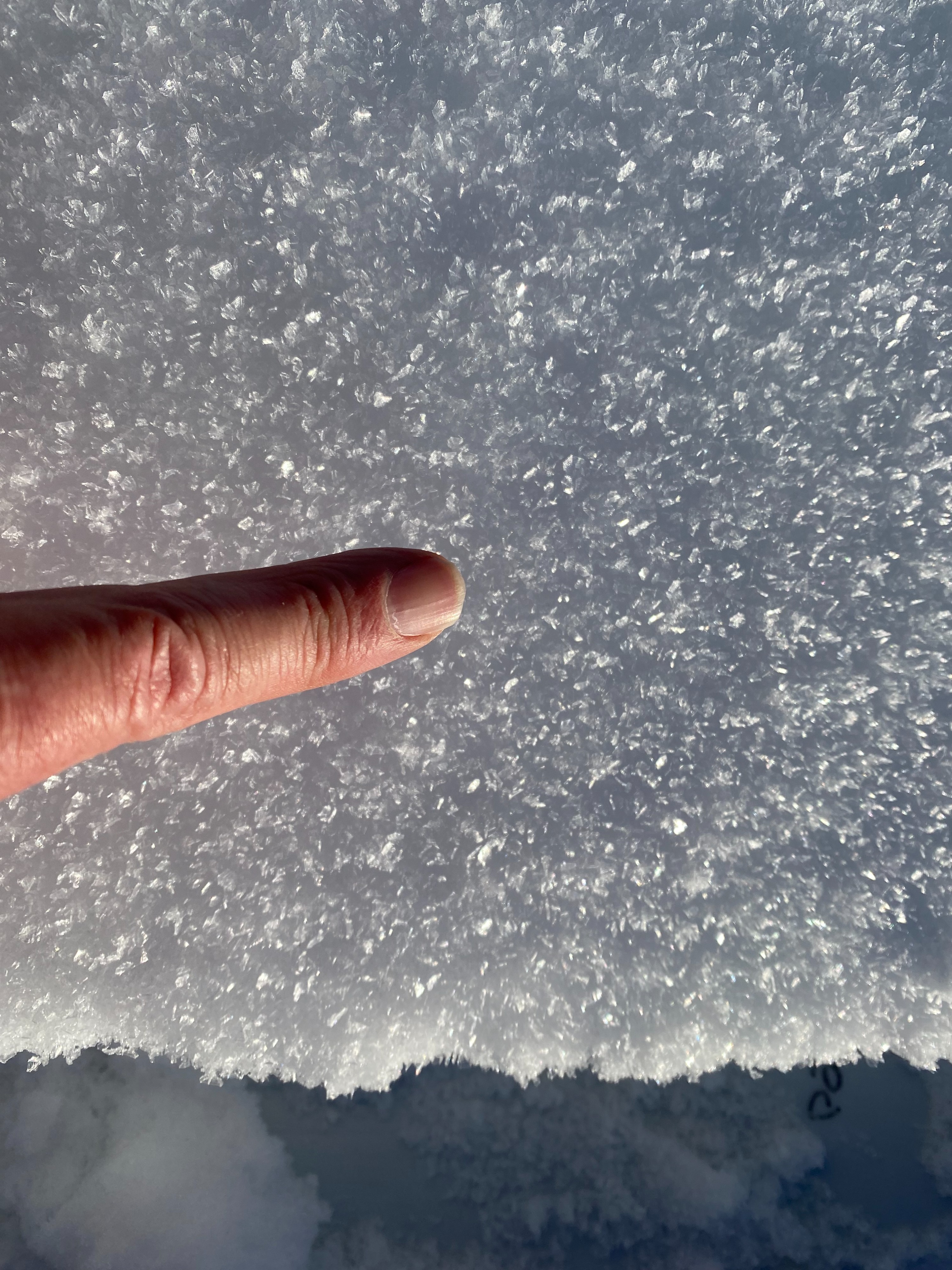
Weak surface snow. Ski penetration is getting concerning in structureless faceted snow in sheltered shady terrain. Solar aspects will have a crust tomorrow, some damp snow by 2 pm on SW aspects. Monday's rime crust (see photo below) will likely break down quickly. It is worth noting that the rime crust was less pervasive in wooded areas.