AST 2 Course Observations
Hyland Backcountry,
Friday 7th February, 2025 4:00PM
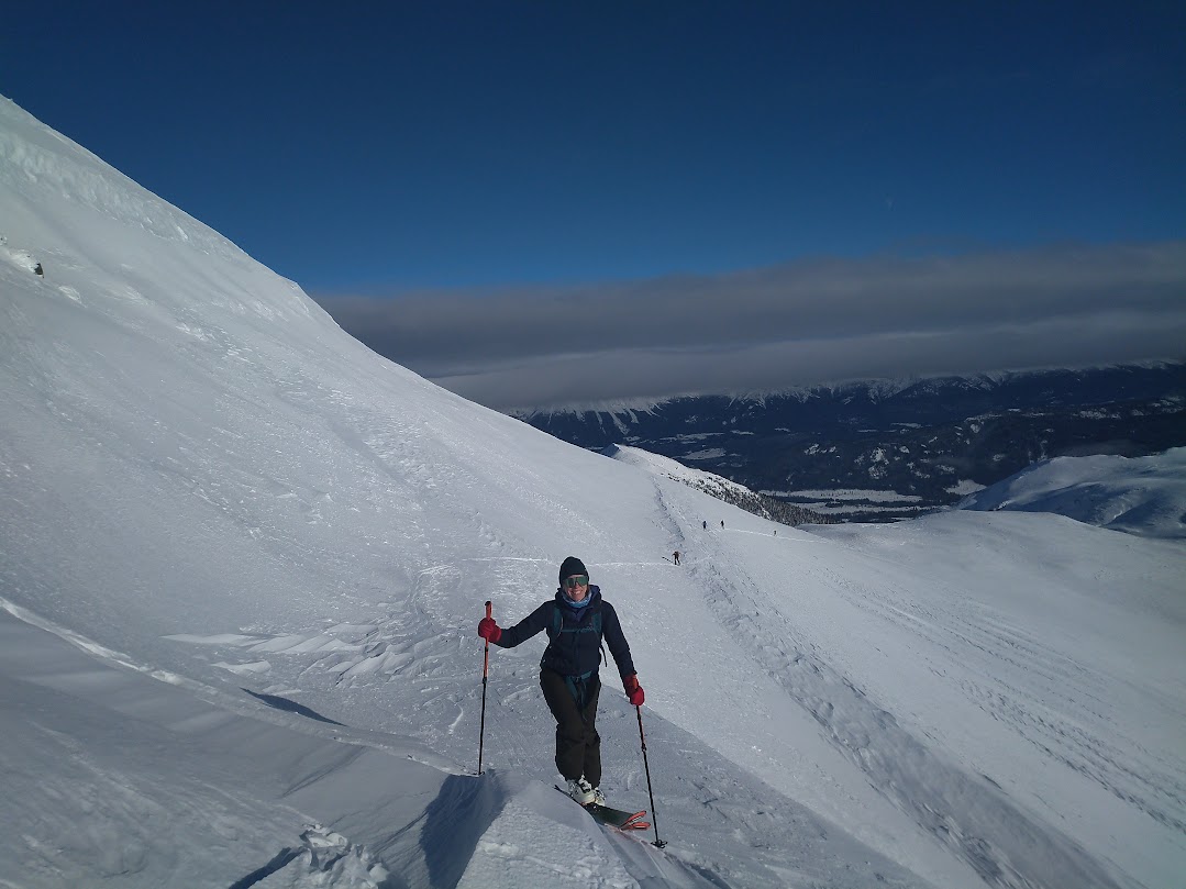
Here are some observations from a Smithers based AST 2 course this week. We toured in the Hudson Bay, Blunt, and Hankin areas from Weds - Friday.
- Snowpack depth is highly variable, especially in all open areas
- In sheltered treeline areas, @ 1600m, snowpack depths are 120-150cm average
- Most areas in the Alpine and Treeline elevation zones are completely wind hammered, with all sorts of windforms out there. The only good snow is Below Treeline areas.
- The snowpack is cold, and facetted and air temps have been in the -10c range at Treeline. Sunny sky all week, up until today, with light to calm winds.
- Strong, previous NE winds have built hard slab conditions in all lee and cross loaded areas. We had a few isolated large whumpfs on these.
- We saw no recent avalanches, but there is lots of evidence from last weekend with the onslaught of the winds, avalanches up to size 2.
- We found the December raincrust Persistent Layer down 60-80cm, and in several snowpack tests, we had very hard to no results in Compression and Extended Column instability tests. We gave this layer respect still in larger , consequential terrain, and avoided thin, shallow areas.
- Our main concern was getting hurt with the challenging ski conditions, and cold temps.
Sean Fraser
ACMG/CAA
Location: 54.78678000 -127.16866000