Recovering Russell
Mar 24th, 2026 12:00 PM
AvCan Vancouver Island
North Island
Details
Type
quick
Coordinates
50.374426, -126.328533
Quick Observation
Recent snowfall over the past few days, combined with a warming trend and strong winds, prompted us to head out and assess the snowpack's recovery from the atmospheric river on the North Island.
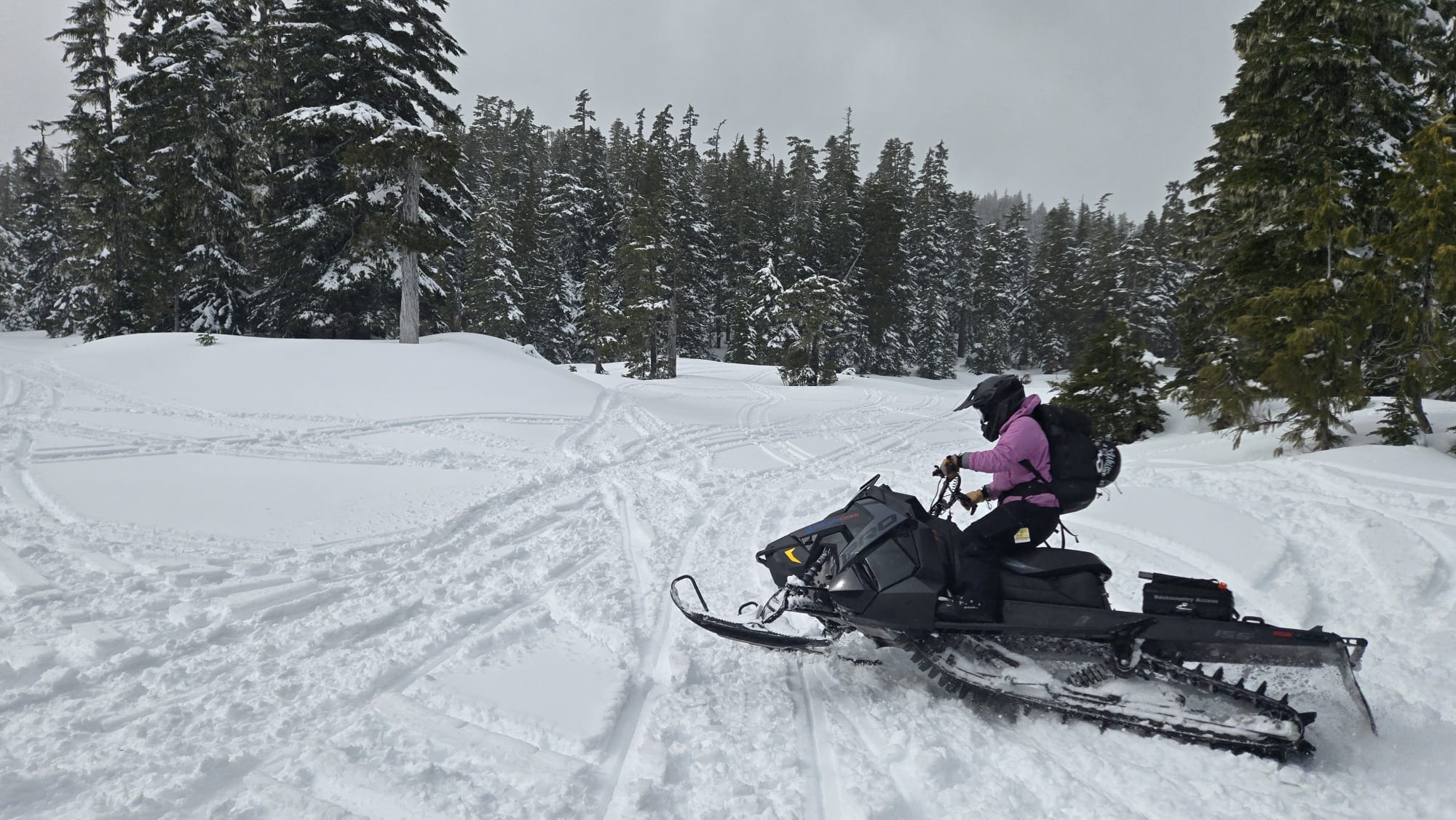
We travelled north along Highway 19 past Sayward to Mount Russell, where we found reliable snow access by snowmobile starting around 900 m.
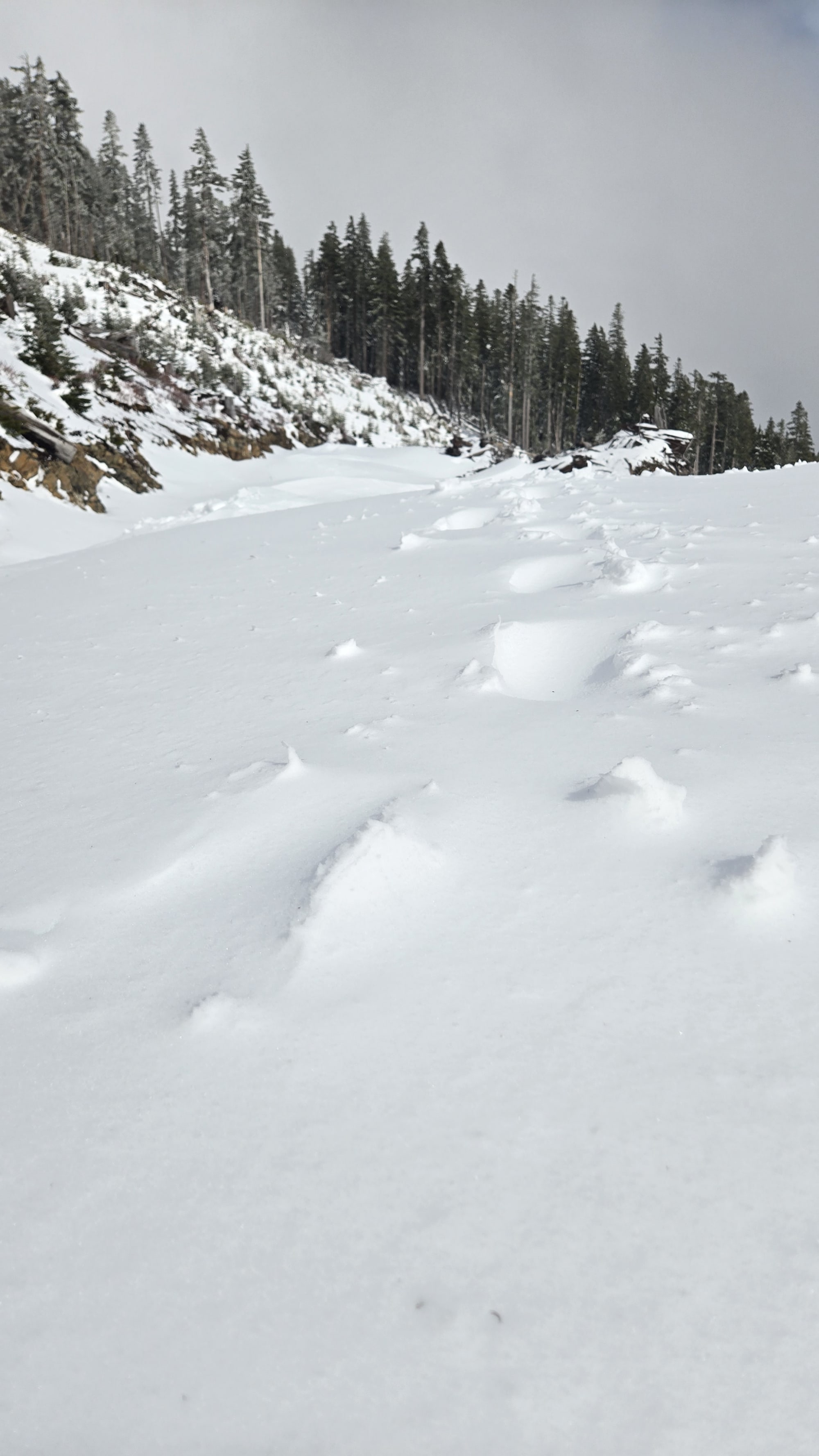
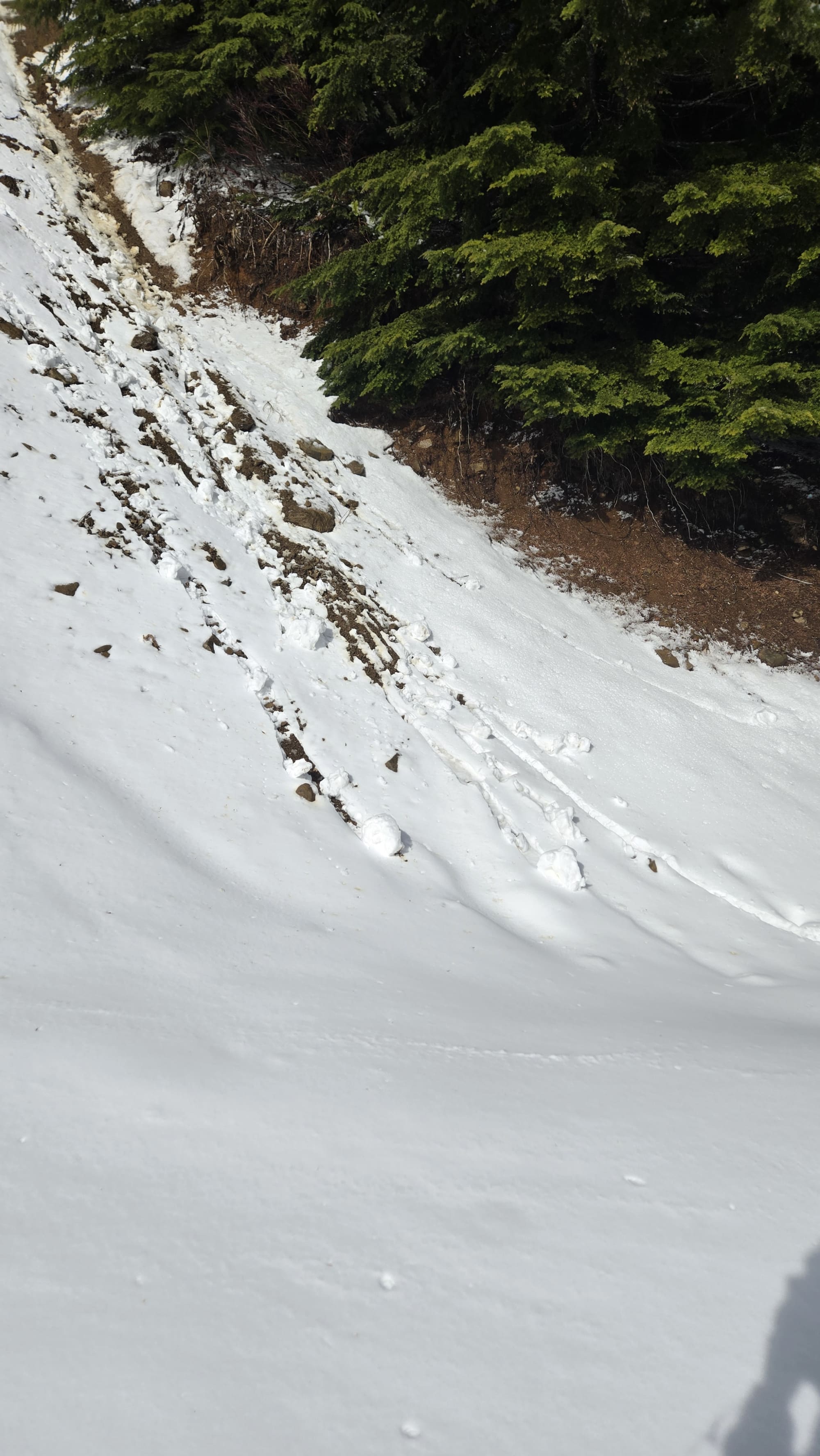
In the field, we encountered strong winds with clear evidence of wind transport in open terrain at treeline, along with indicators of a developing wind slab problem. With so little snow left in most of below treeline, hazard was minimal.
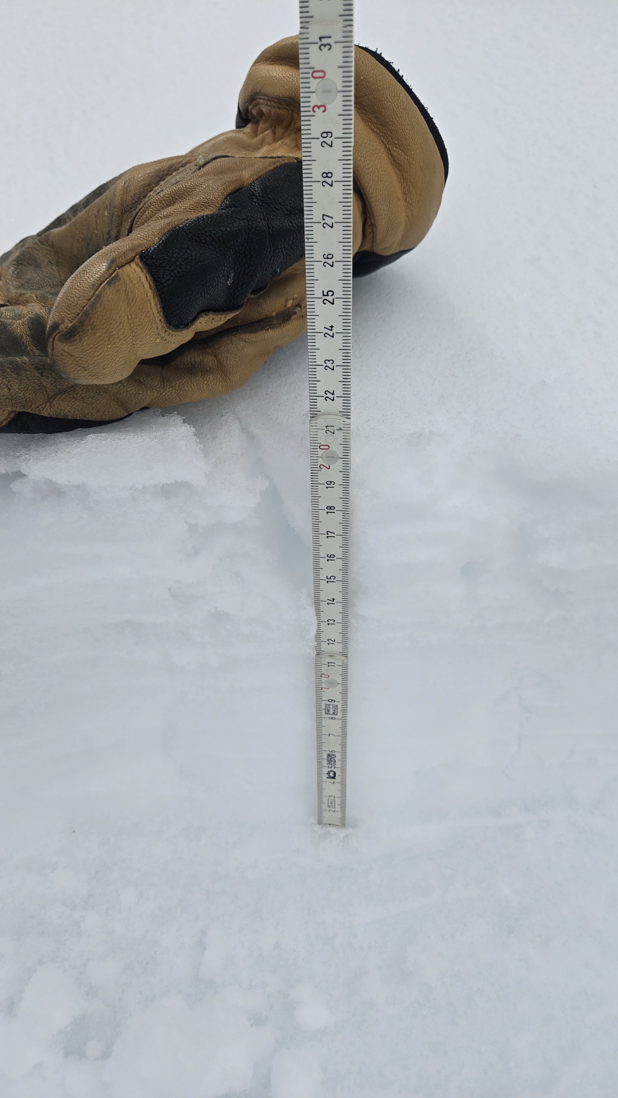
We observed 5–10 cm of new wet snow sitting on a 1–2 cm thick melt-freeze crust, overlying approximately 10 cm of additional wet snow above last week’s atmospheric river crust. Snow depth at 1200 m ranged from 70–90 cm.
We suspect hazard would have been a step more serious in treeline and especially alpine terrain, where dry accumulations would better lend to wind slab formation.
Snow access remains reliable—winter isn’t over yet! 🌨️
Photos (4)