
Quick report
- Cracking
- widespread
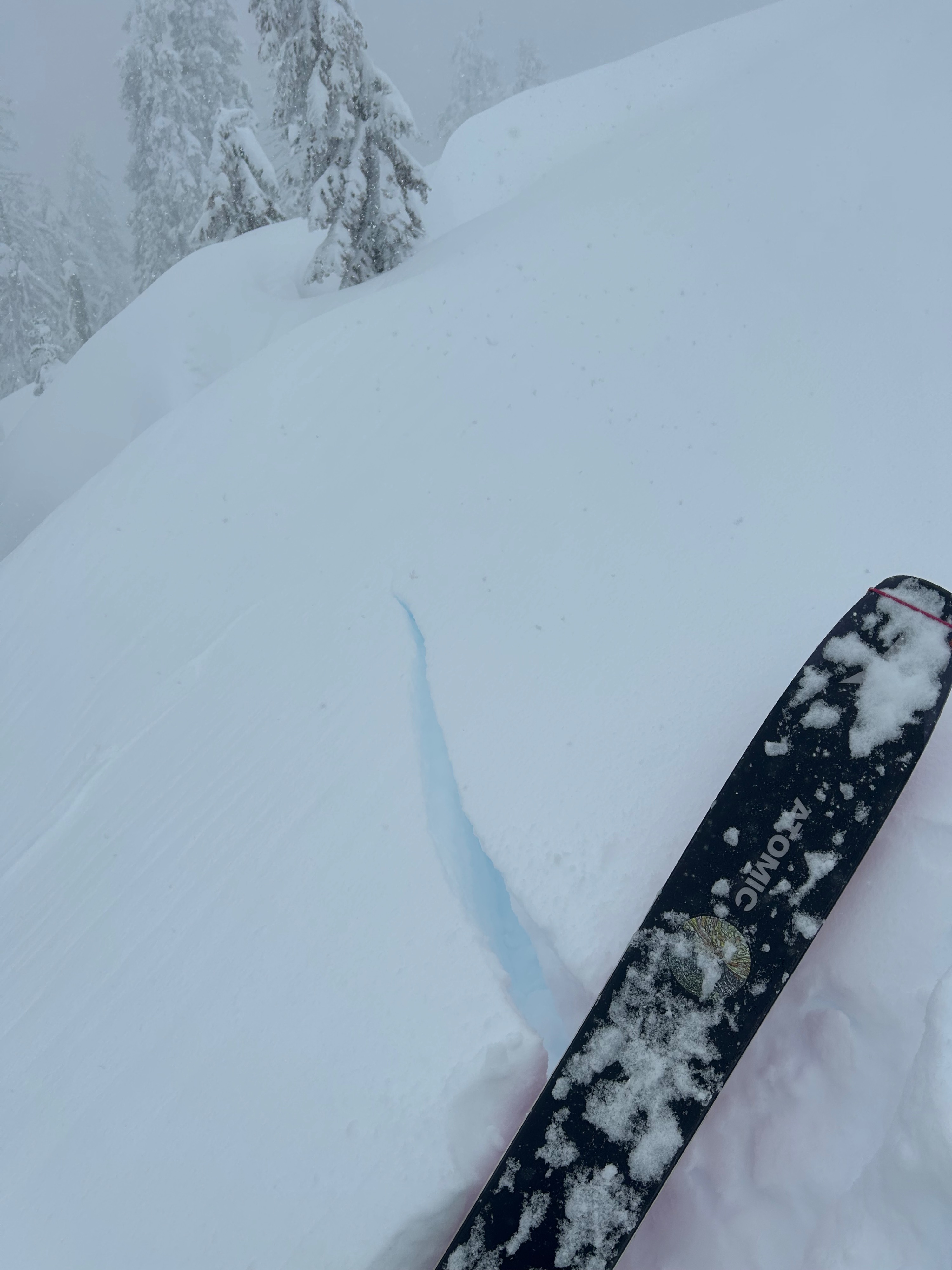
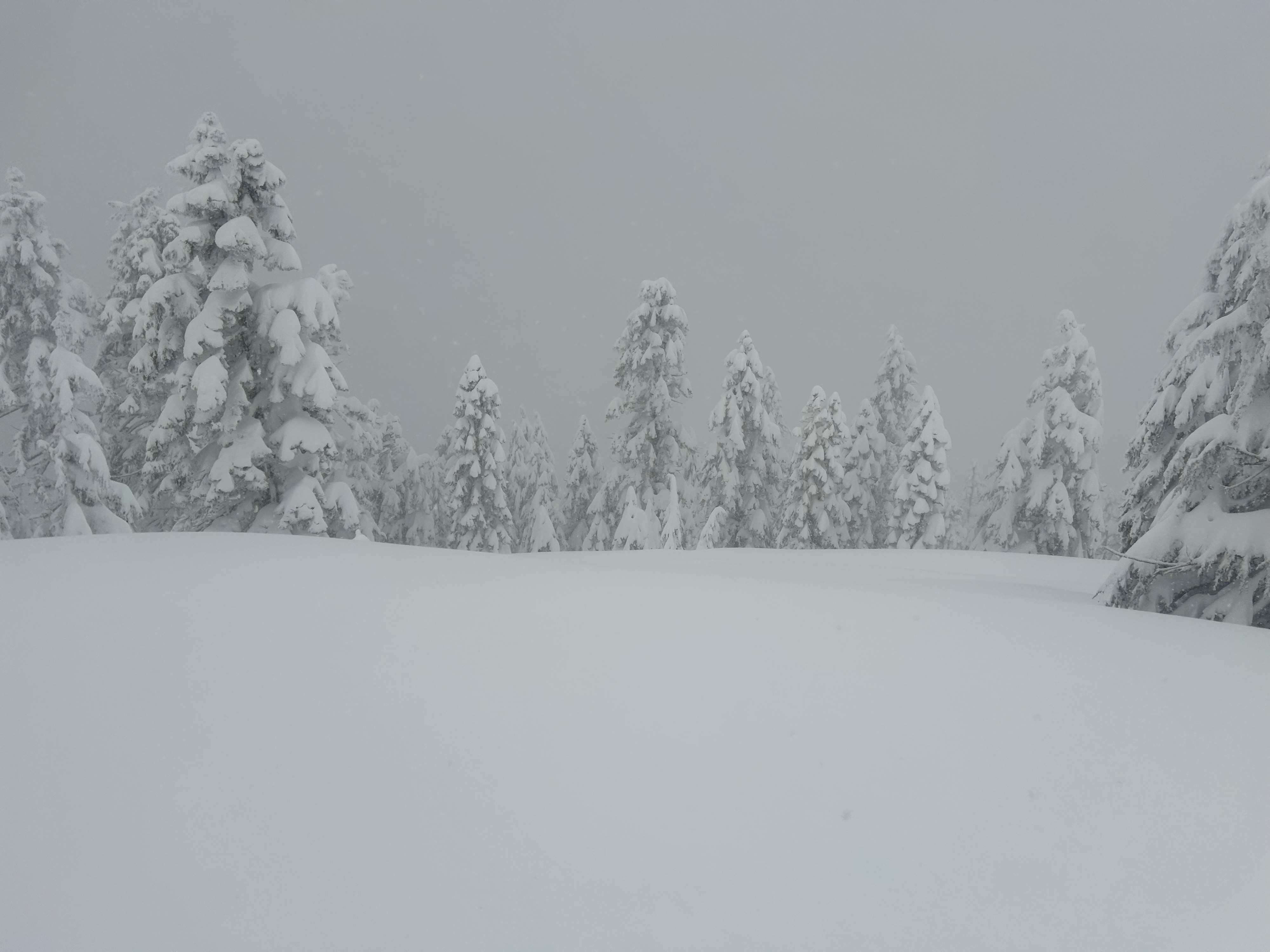
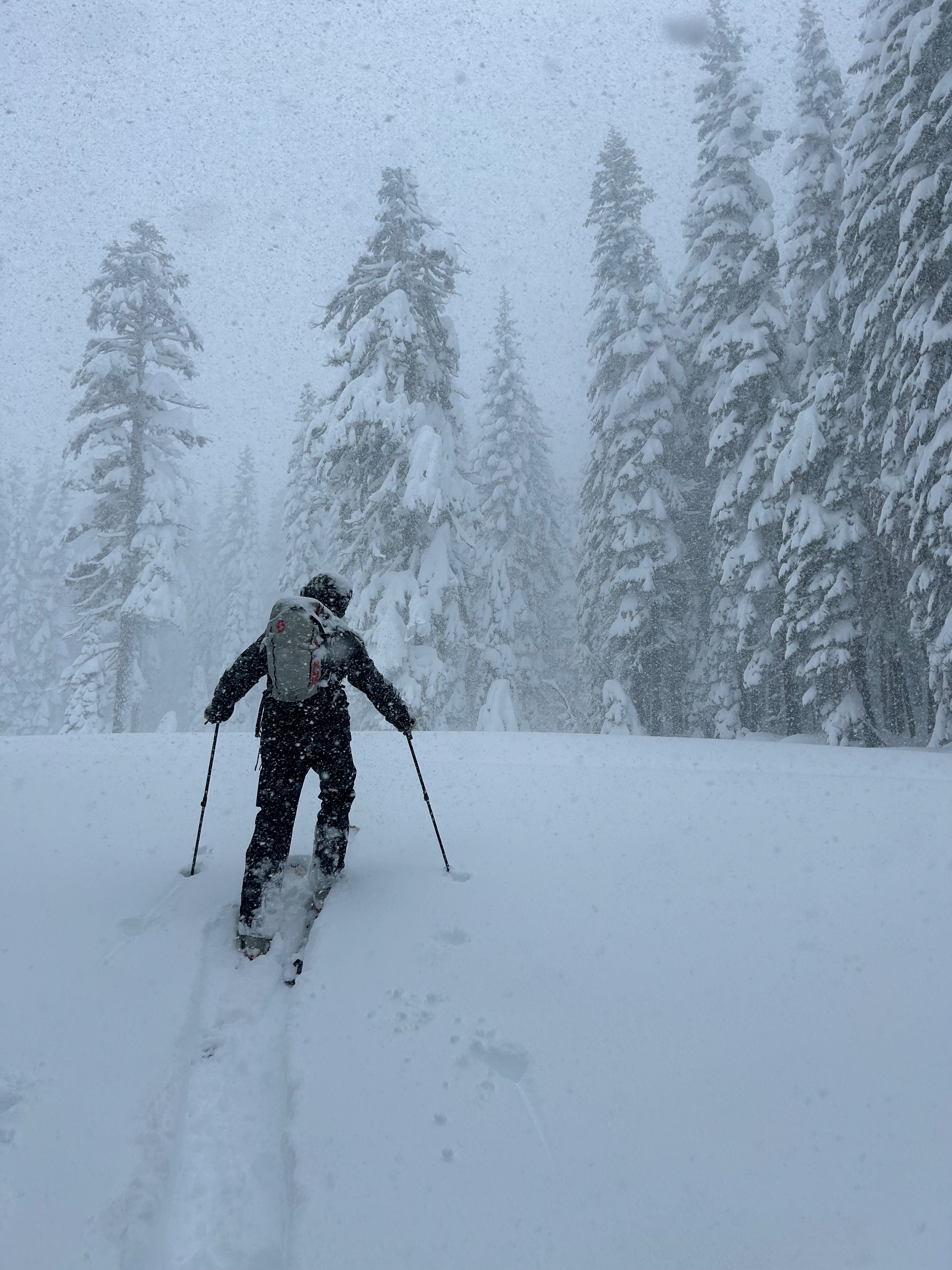
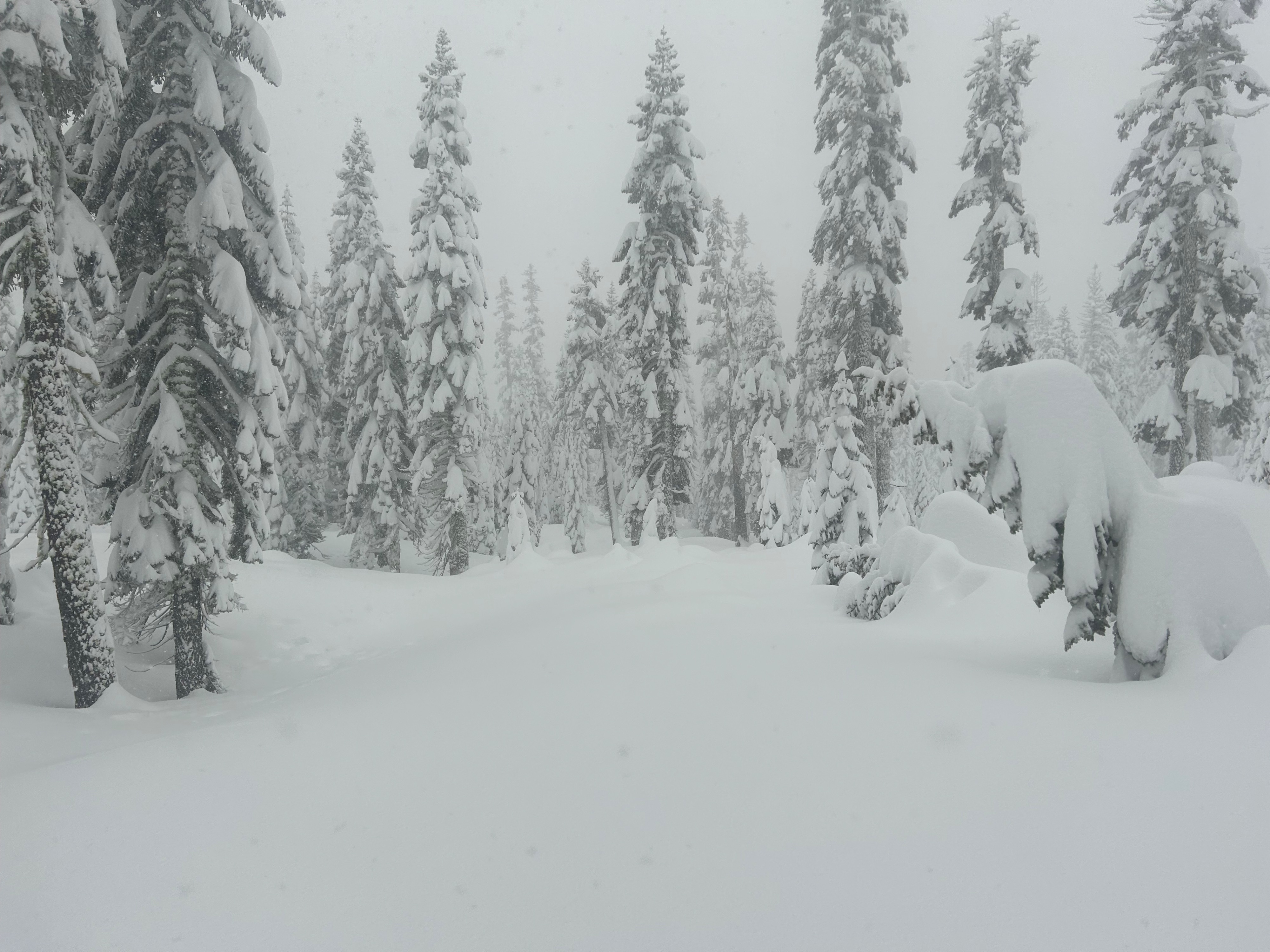
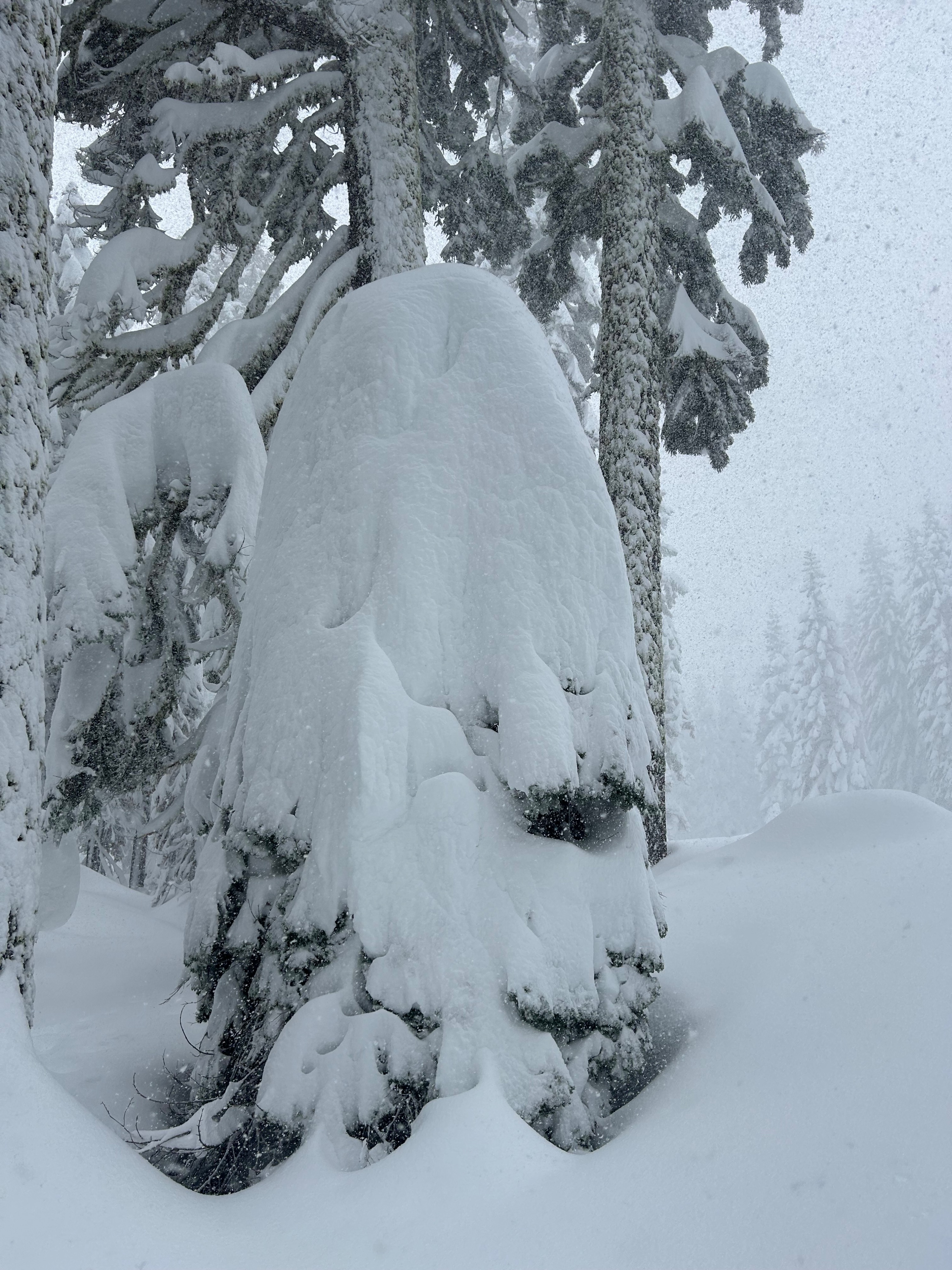
Today was screaming with avalanche danger. Red flags were plentiful: heavy snowfall, blowing snow, recent avalanches, and cracking and collapsing were experienced on a tour up the south side of Gray Butte. Touchy storm slabs were observed throughout the day on south and west aspects. A bountiful 2 plus feet of new snow has fallen over the last 48 hours. Below treeline offered the best visibility and the least intense storm conditions. In sheltered areas, the snow stayed unscathed. Near treeline the visibility worsened and moderate S-SE winds increased. Wind textured surfaces and light to moderate amounts of blowing snow were observed. Above treeline was not observed today.
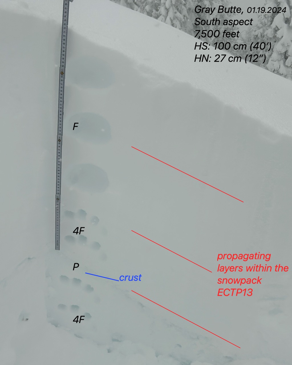
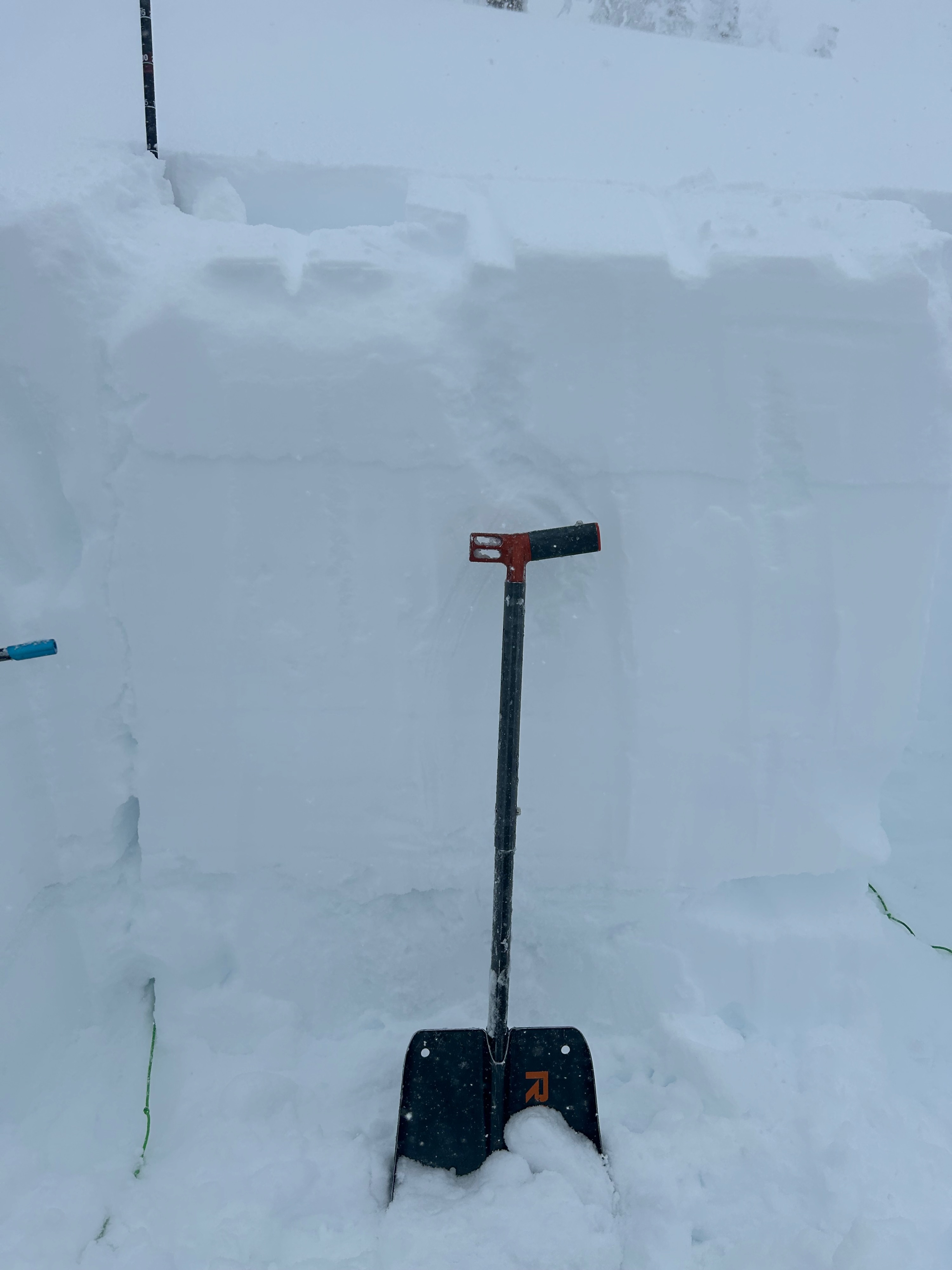
Surface instabilities were extremely touchy today. Stomping on any small convex roll would result in large shooting cracks. Storm slabs were observed to be 25 - 30 cm (13'+) deep and released in both open and forested areas. Propagation occurred in stability test on three different layers within the new and old snow.Weather
- Air Temp
- 26
- Cloud Cover
- obscured
- Wind Loading
- moderate
- Rain Elevation
- 4,500
- Recent Snowfall
- 35
- Snow Avail For Transport
- large amounts
Rain transitions to snow at around 4,500 feet, and it continued to snow for the duration of the day, reaching rates over one-inch per hour. Stormy conditions obscured visibility for the most part. Temperatures remained below freezing and winds blew moderate to strong out of the south and southeast.
Snowpack
New snow instability is the main takeaway from today's tour. Since Wednesday, February 14th, the forecast region has received roughly 30 inches of new snow, with 19 of those inches falling in the last 48 hours. This is a significant load. Temperatures have fluctuated quite a bit, causing interfaces to form within the new snow. These interfaces did show reactivity in stability tests and will likely continue to do so as more snow is deposited. The snowpack is displaying a right side up structure, with a crust that formed on February 12th sitting at the bottom.
Propagation occurred down...
- 25 cm (10') surface snow
- 65 cm (26') storm interface
- 75 cm (30') above a crust formed on February 12th