
Quick report
- Cracking
- isolated
Sam and I conducted one of our monthly snow surveys near Gray Rock Lakes to assess the depth of the snowpack and its water content. The data collected is crucial to forecasting how much water will be available for downstream users in the Trinity and Sacramento watersheds.
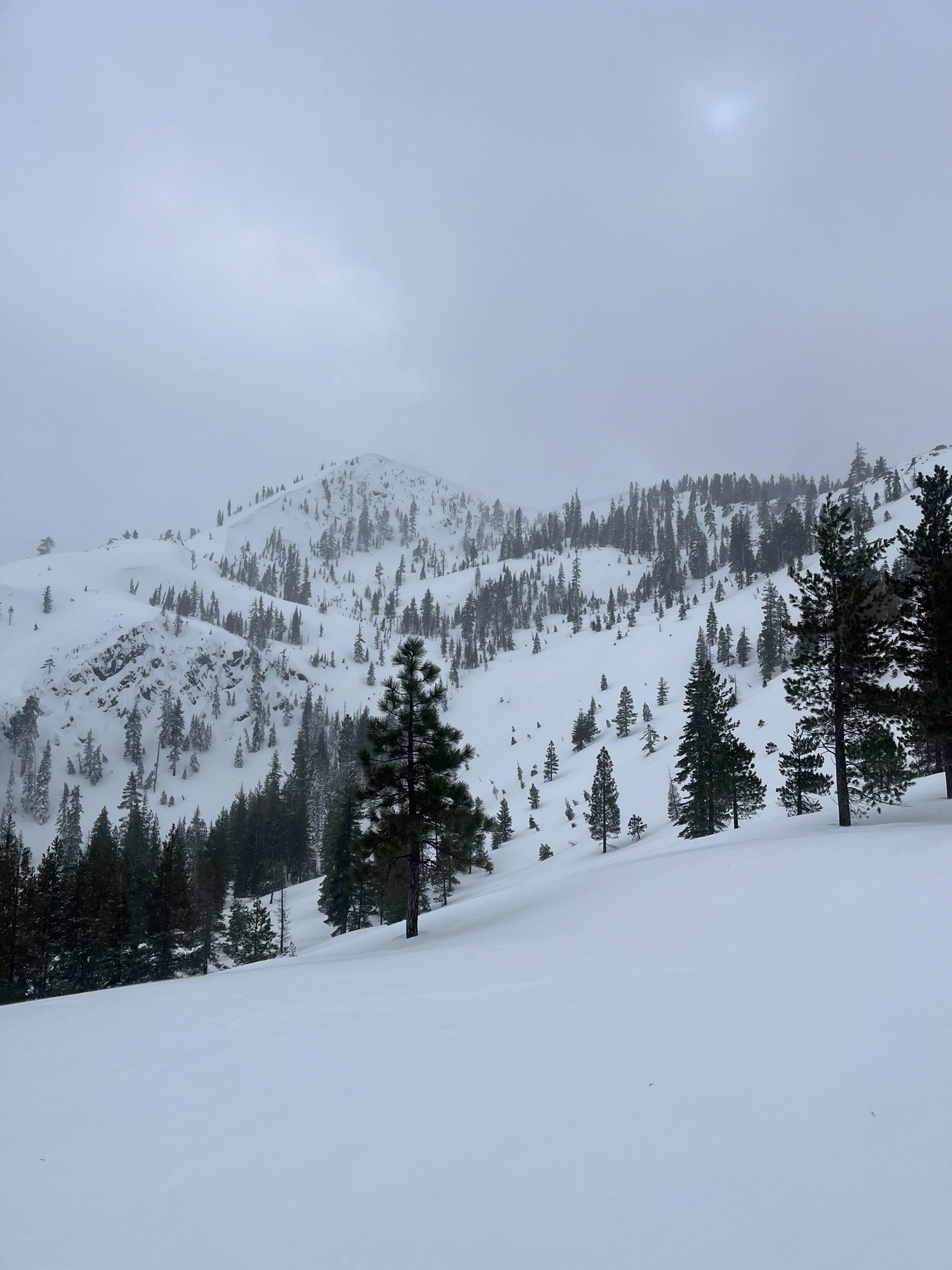
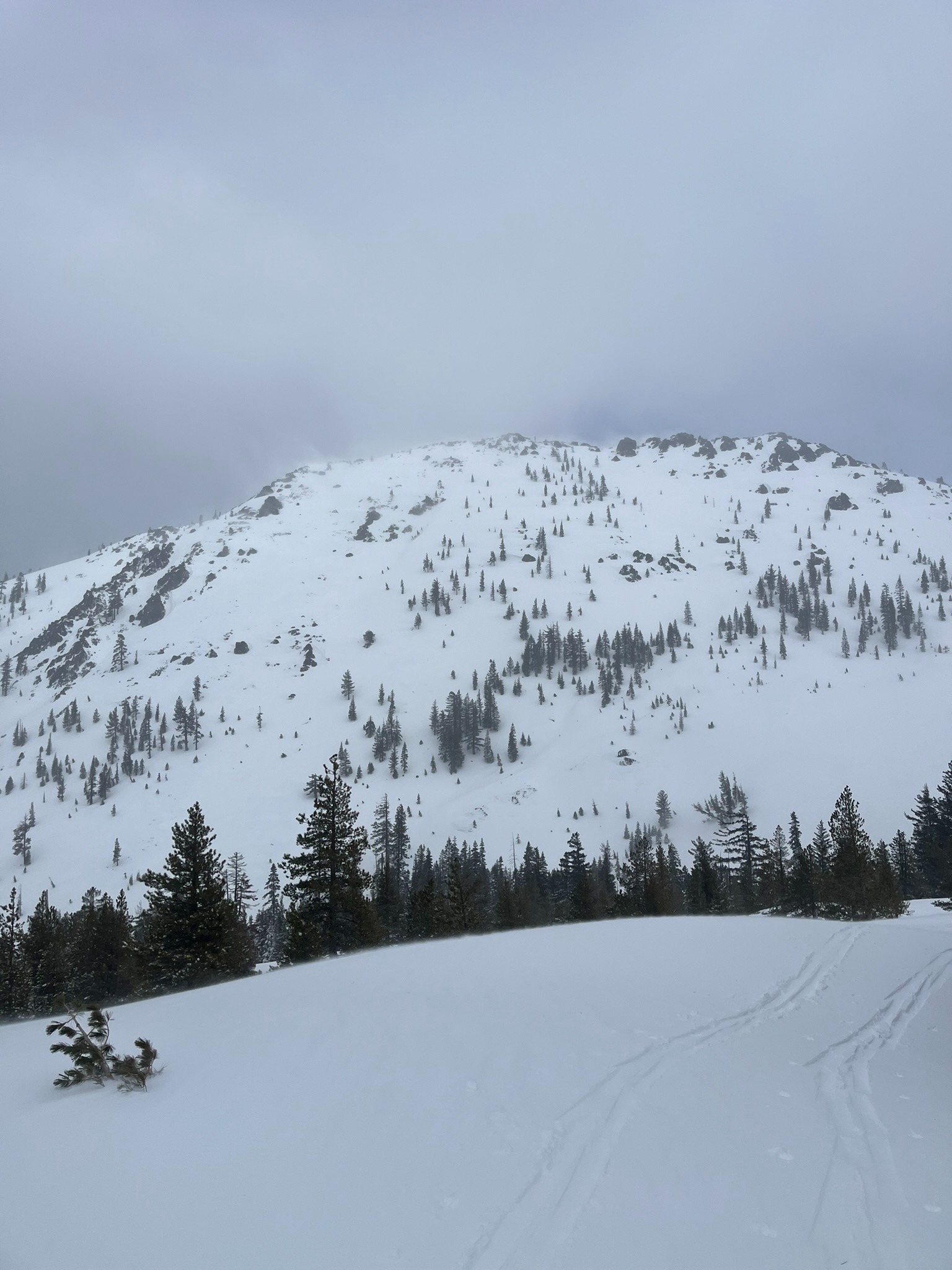
Today's snow survey mission limited our time to conduct in-depth snowpack observations. Despite this limitation, we observed the following red flag instabilities: new snow, blowing snow, shooting cracks, and firm wind slabs with a hollow, drum-like feel beneath skis. We did not observe any recent avalanches or collapsing in the new snow. Near ridge tops, wind was predominately out of the W and SW. Down lower below treeline and within lake basins, the wind was variable. In all locations, the wind was consistently blowing strong and gusting to extreme speeds. New snow totaled about 10 inches with up to two feet in wind-drifted locations.
Isolated areas of cracking occurred near wind-drifted tree wells about one foot deep and up to 4 feet long.Weather
- Air Temp
- 30
- Cloud Cover
- obscured
- Wind Loading
- intense
- Rain Elevation
- 4,500
- Recent Snowfall
- 25
- Snow Avail For Transport
- moderate amounts
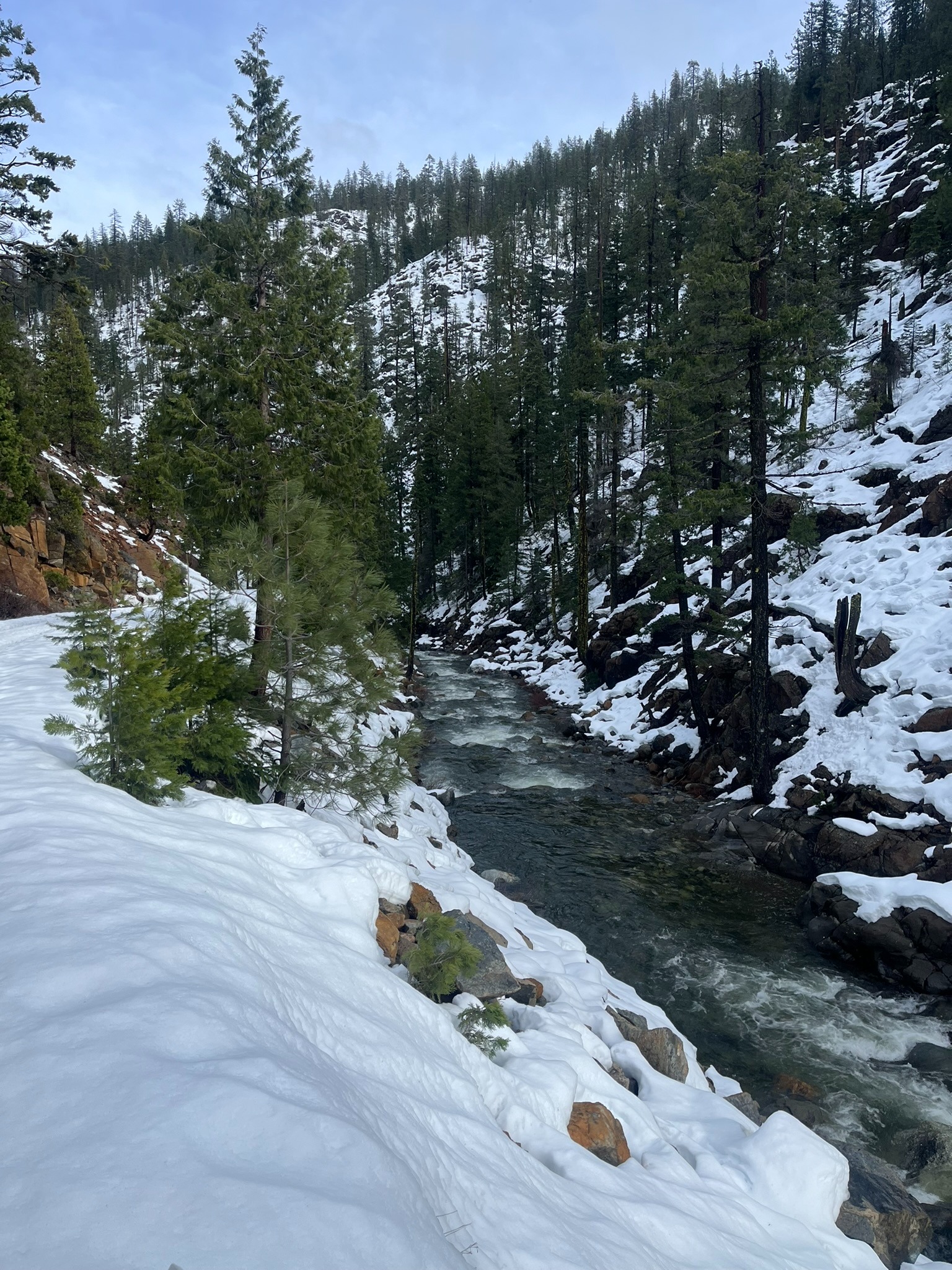
The first half of the day brought obscured skies, warm temps, and intense precipitation. Below 4,500 feet precipitation fell as rain, from 4,500 to 5,500 feet. New snow was wet and accumulations ranged from 5 to 10 inches. Above 5,500 feet, where temperatures stayed colder, the snow was much drier and subject to strong wind transport.