
Quick report
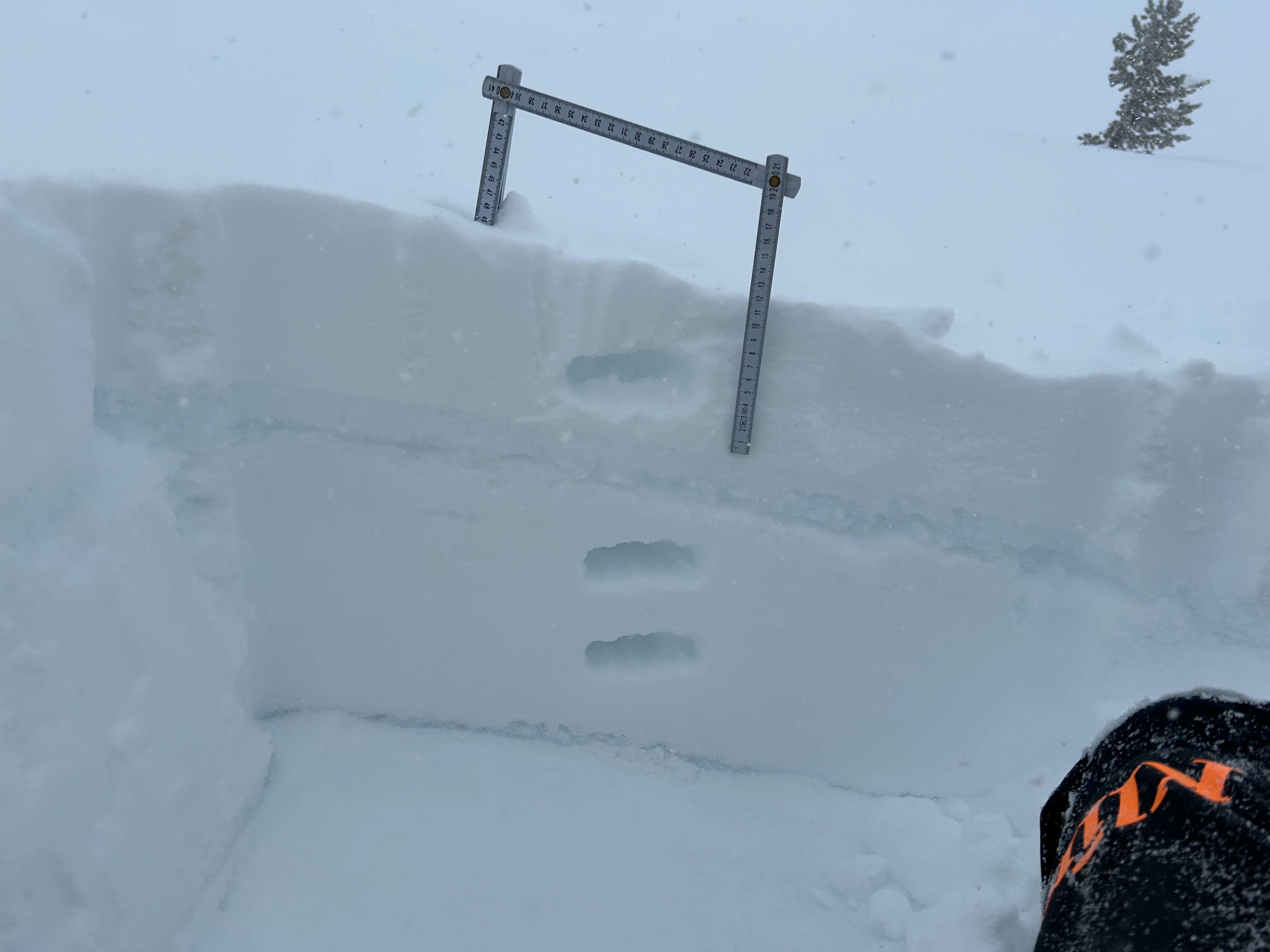
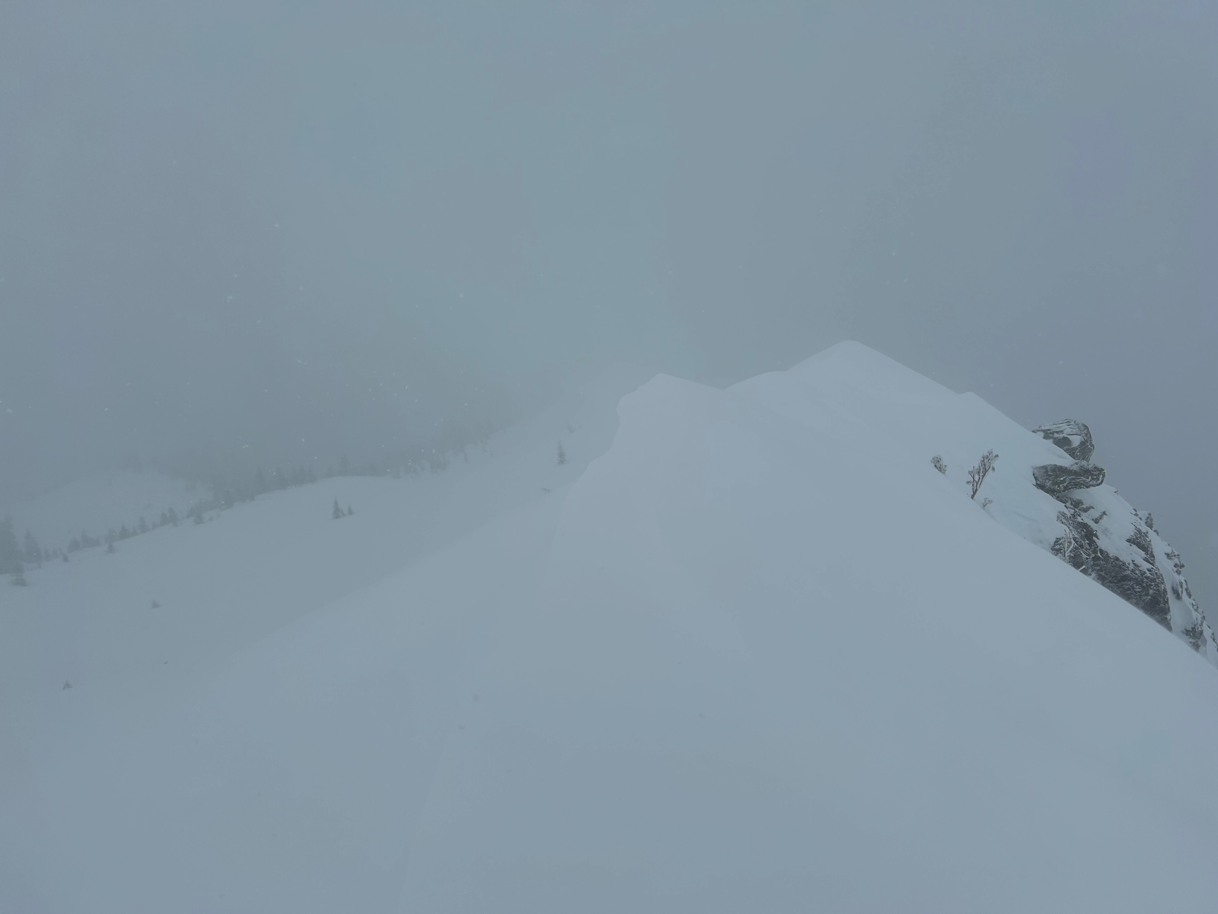
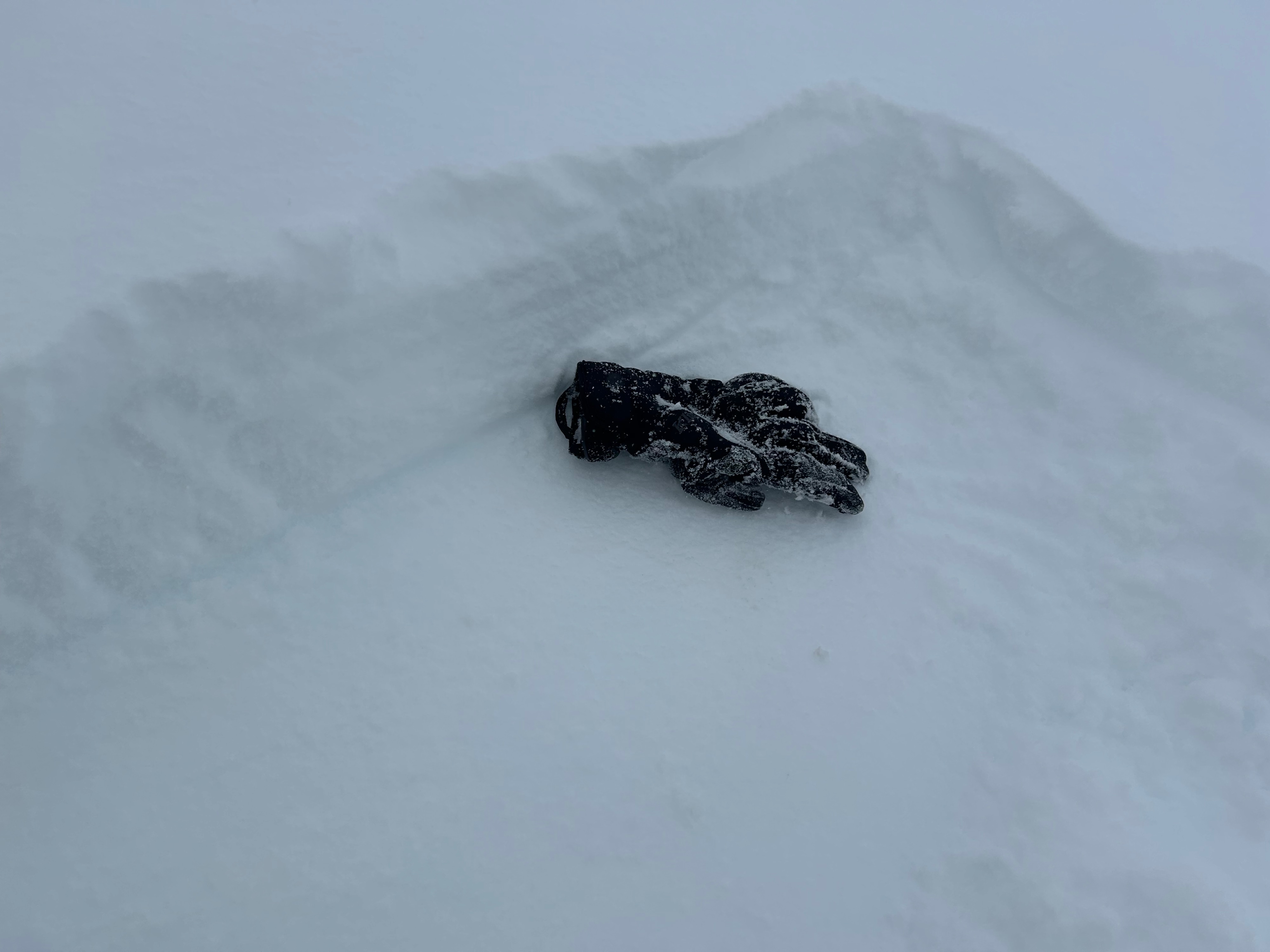
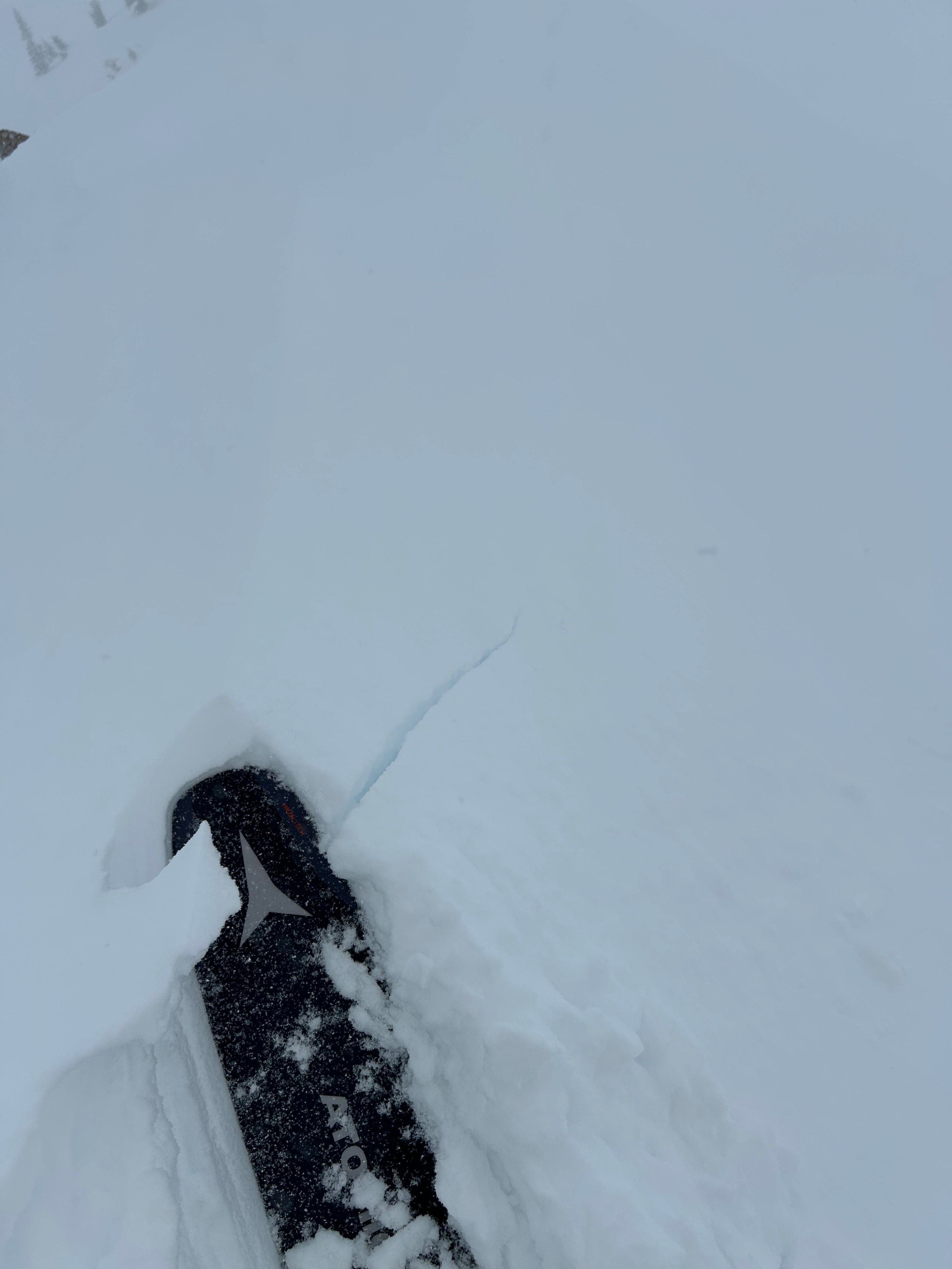
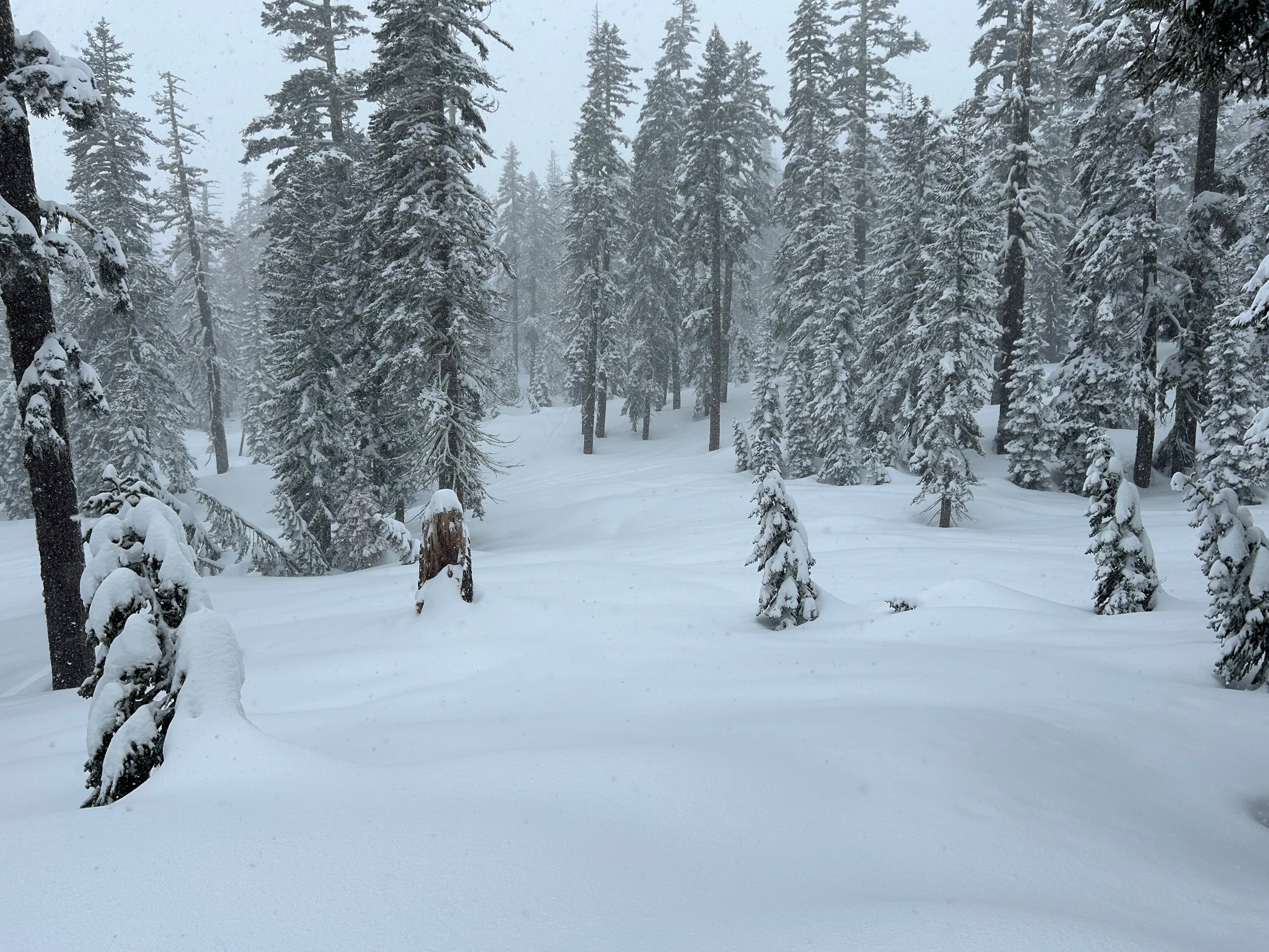
A potent storm has impacted the forecast area. Snow levels have dropped to 3,000 feet, with snowfall rates exceeding one inch per hour. All elevations are receiving a significant re-fresh of new snow. Below treeline, five inches of snow was observed, with eight inches near treeline. Along exposed ridgelines and open slopes, strong southwest winds were actively drifting moderate amounts of snow onto all west, north, and east aspects. Small wind lips and drifts beneath ridgelines and rollovers displayed small shooting cracks and were reactive to ski cuts. Otherwise, no other signs of wind slab instabilities were observed. The new snow seems to be bonding well to the pre-existing hard bed surfaces. However, these slick bed surfaces did make for easy sluffing of snow in steep terrain. Moving forward, remain cautious of terrain features, like couloirs and chutes, where sluffs can become funneled, burying or carrying a rider.
Active wind loading, small shooting cracks, and collapsible wind lips were experienced below ridgelines.Weather
- Air Temp
- 24
- Cloud Cover
- obscured
- Wind Loading
- moderate
- Rain Elevation
- 3,000
- Recent Snowfall
- 13
- Snow Avail For Transport
- large amounts
Stormy weather commenced at daybreak with a 3,000 foot snow level, moderate to strong southwest winds, obscured skies, and temperatures dropping into the low 20s.