
GNP East Side
Quick report
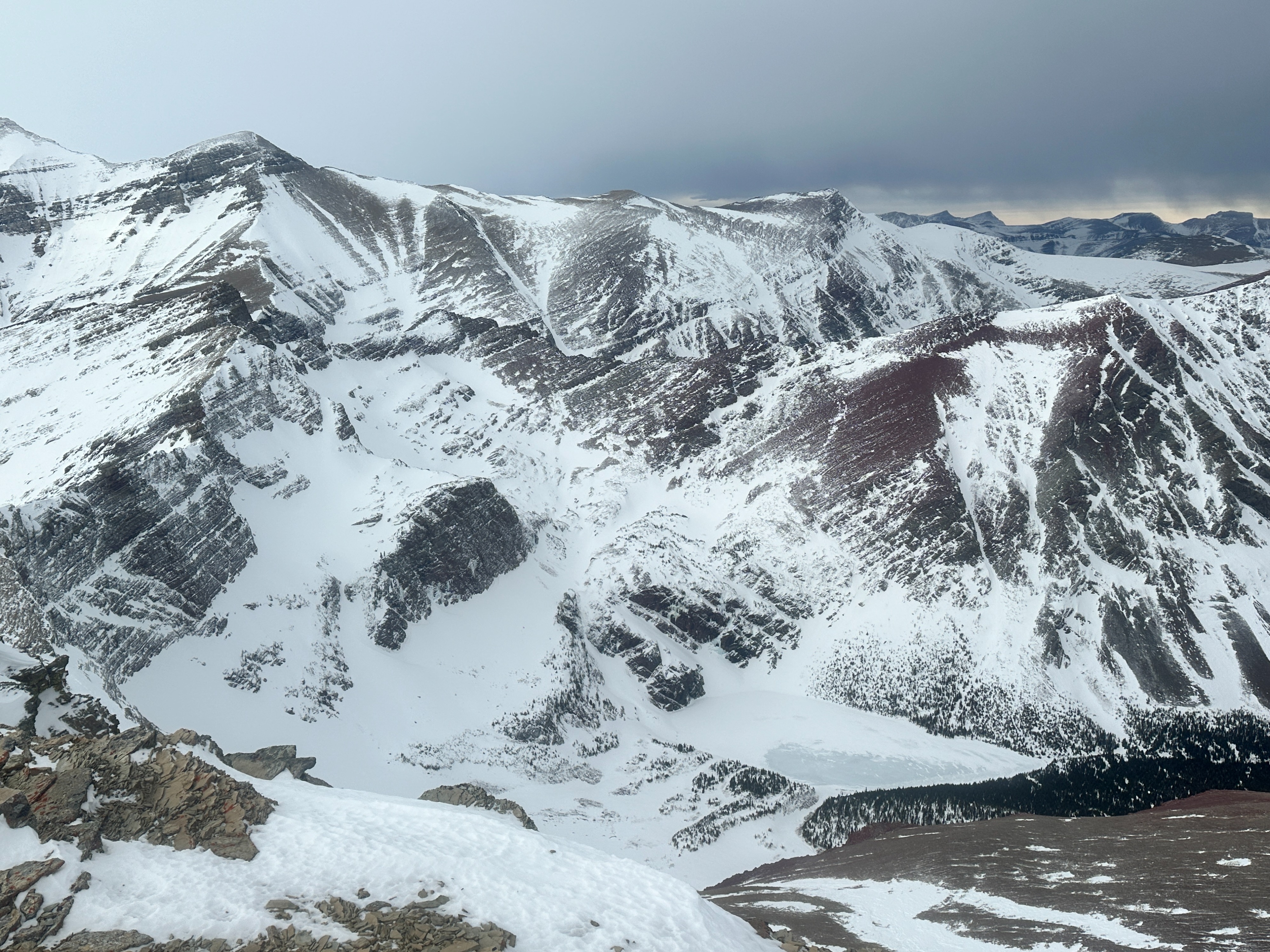
The wind and recent warm temperatures have created a highly variable snowpack in this area. The wind has been especially severe. There is plenty of bare ground with most of the snow confined to sheltered and shady slopes at mid and upper elevations. There isn't much of a snowpack at all until about 5500'. In the alpine there are plenty of slopes scoured down to rock. Temperatures were very warm, 45 deg F at the TH. But clear skies overnight allowed for a superficial refreeze that formed a breakable crust on the snow surface. I estimate the daytime high air temperature was above freezing all the way up to 8000', maybe higher. Above 6500' I avoided wind-loaded terrain and traveled on scoured slopes that consisted mainly of a supportable melt-freeze crust (or rock) and was excellent travel in crampons. No avalanche activity observed nor any signs of instability. The wind was strong out of the west at ridgetop but there was no wind loading. There was no loose snow remaining for transport. No signs of instability noted
Weather
- Air Temp
- above freezing
- Cloud Cover
- scattered
- Wind Loading
- previous
- Rain Elevation
- 8000
- Recent Snowfall
- 0
- Snow Avail For Transport
- none
Clear in the morning, increasing high elevation clouds in the afternoon and mostly overcast by evening. Winds were moderate to strong out of the west. No precipitation until the drive home that night on highway 2 when a light rain began.