
Quick report
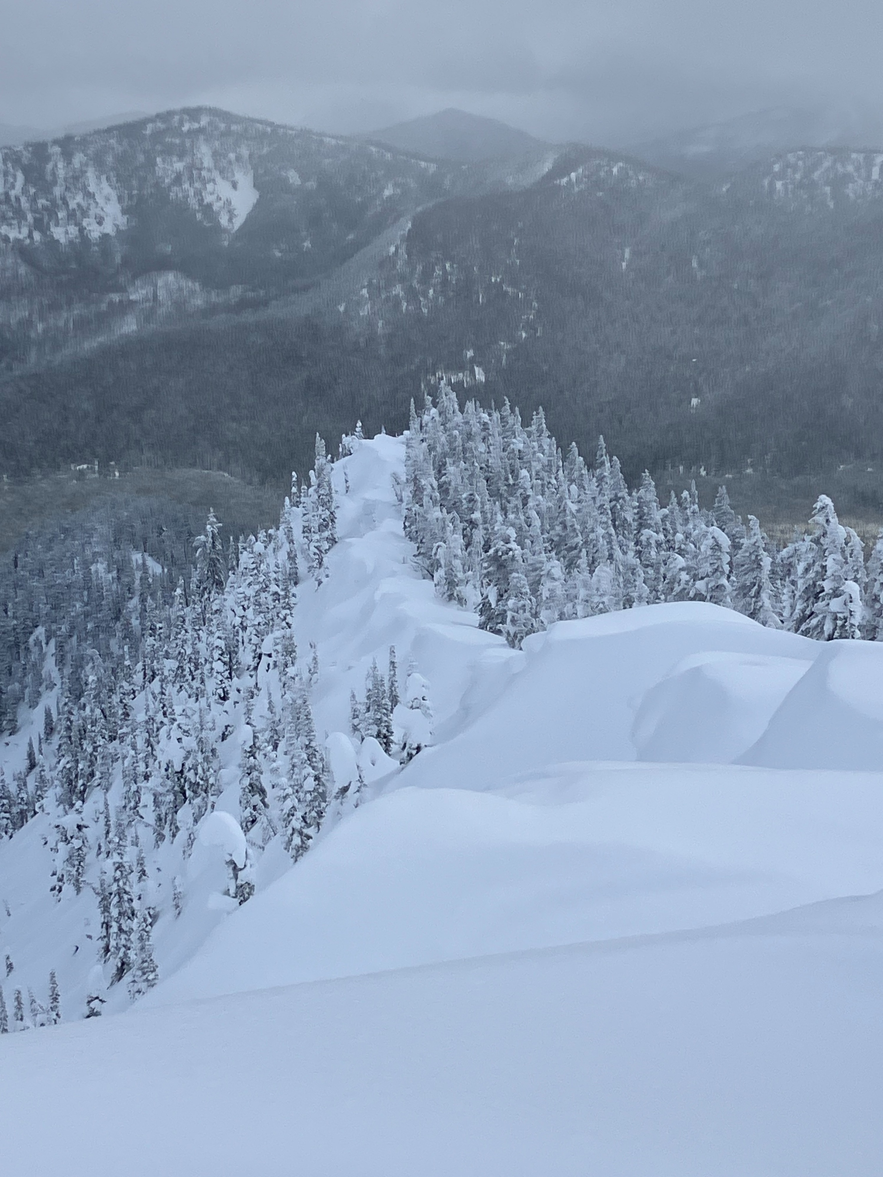
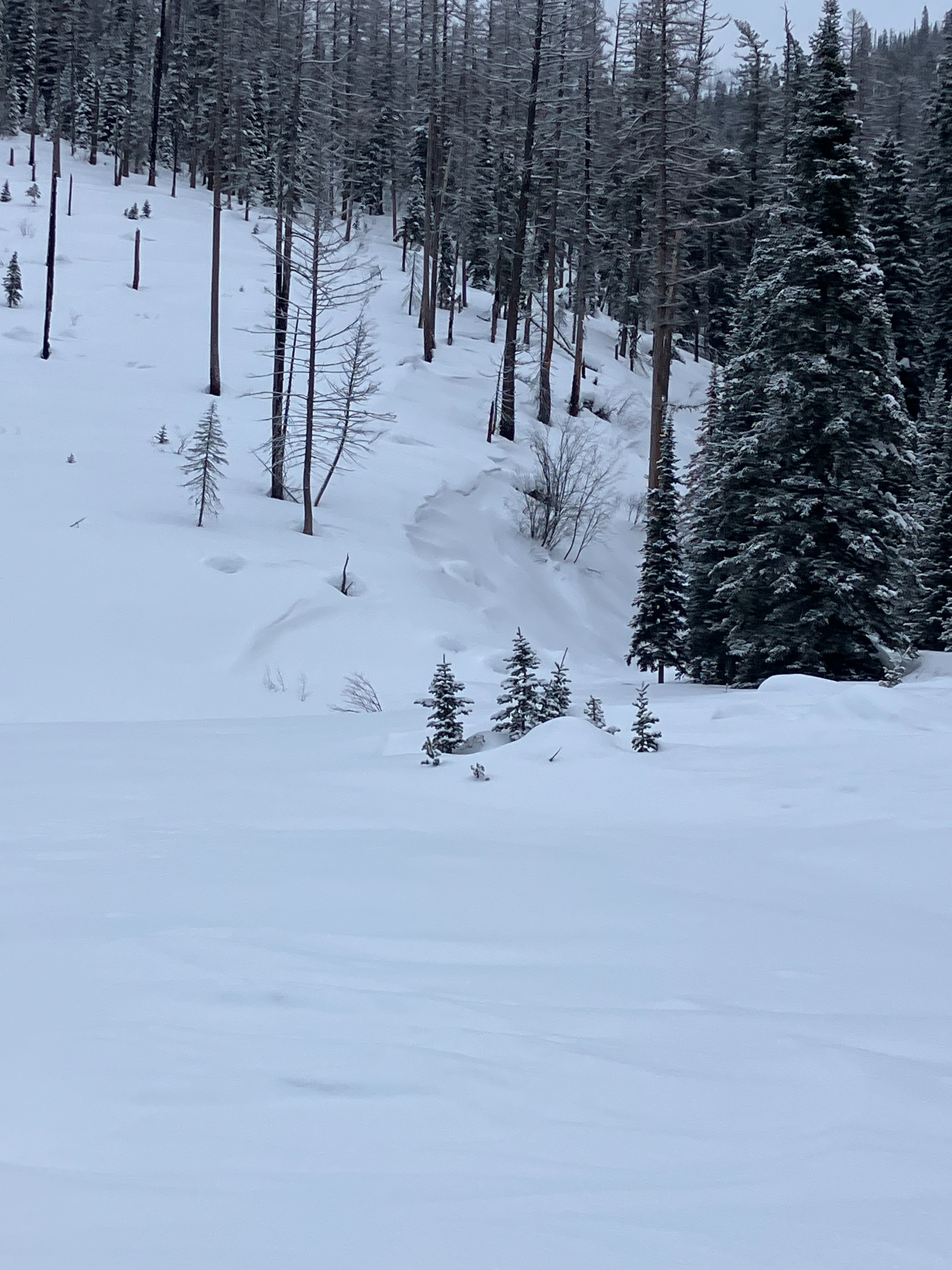
The two main goals of the day were to assess the distribution and sensitivity of wind slab and persistent slab avalanche problems. We were suprised with what we found! The surface consisted of stellar precip particles and approximately 8" of fresh snow since 1/31. Decent visibility allowed us to scan multiple aspects and elevations on surrounding peaks, and we saw no recent avalance activity. We did not experience any collapsing or cracking.
Here are the details we found relating to each problem:
- Persistent Slab Problem: We found presistent slab structure on north and south aspects, though the weak layer involved was different.
- On a northwest aspect we found an obvious surface hoar layer (that formed during the clear, calm nights in January) that is buried by the recent storm snow. We did not get propagation during our snow stability tests.
- At a slightly higher elevation on a southerly aspect, the new storm snow was burying a layer of facets on a sun-crust (that formed from the sun's radiation in January). This DID propagate during our snow stability tests. This layer does not seem sensitive to the weight of a person, as the slab above this layer is still soft and cold.
- Wind Slab Problem: Signs of wind affected snow at mid-elevations included variable surface patterns, needles and beard lichens on the snow, and small wind lips. We were amazed by the limited amount of wind affected snow at upper elevations. Along ridgelines were old and hard cornices with only ~8" of fresh drifting. These were not reactive to jumping weight. With exception to one micro-slough beneth the cornices, there was no natural avalanche activity.
With our findings we were reminded of the potential for remote triggering a slab on an adjacent or overhead slope. We enjoyed the fresh powder skiing on lower angle and sheltered slopes.
More media soon.
Weather
- Air Temp
- 5
- Cloud Cover
- broken
- Wind Loading
- previous
- Rain Elevation
- 0
- Recent Snowfall
- 20
- Snow Avail For Transport
- large amounts
A bitter-cold ride in and temperatures warmed up noticably as the day progressed. The morning consisted of overcast skies accompanied with S-1 snowfall, but slightly north of our location clear skies were visible. Around 1400 the clouds became scattered and the sun provided some warm radation for about 1 hour and then returned to scattered. Winds were calm and southwesterly throughout the day.
Snowpack
- Northwesterly at 6400'
- HS=215cm
- The recent storm snow showed 20cm of low-density fist hardness snow above 20cm of 4F snow.
- This soft slab was on top of the January surface hoar with grain sizes up to 40mm. The large surface hoar crystals were oriented vertically, creating a weak and porous structure.
- Test results on the surface hoar: CT16 SC, ECTN15 and ECTN20, PST ~ 35/ 110 SF
- 50cm down was a thin, P-hard crust above facets. The snowpack below that was a consistent 1F hardness.
- Southerly at 7000', ~32°
- HS=190cm
- The recent storm snow was more cohesive on this aspect and was above 2 sun crusts with facets above, between, and below. ECTP11 down 40cm on facets above the sun crusts. The pit wall and sides of the pit collapsed when we skinned above it.