
Quick report
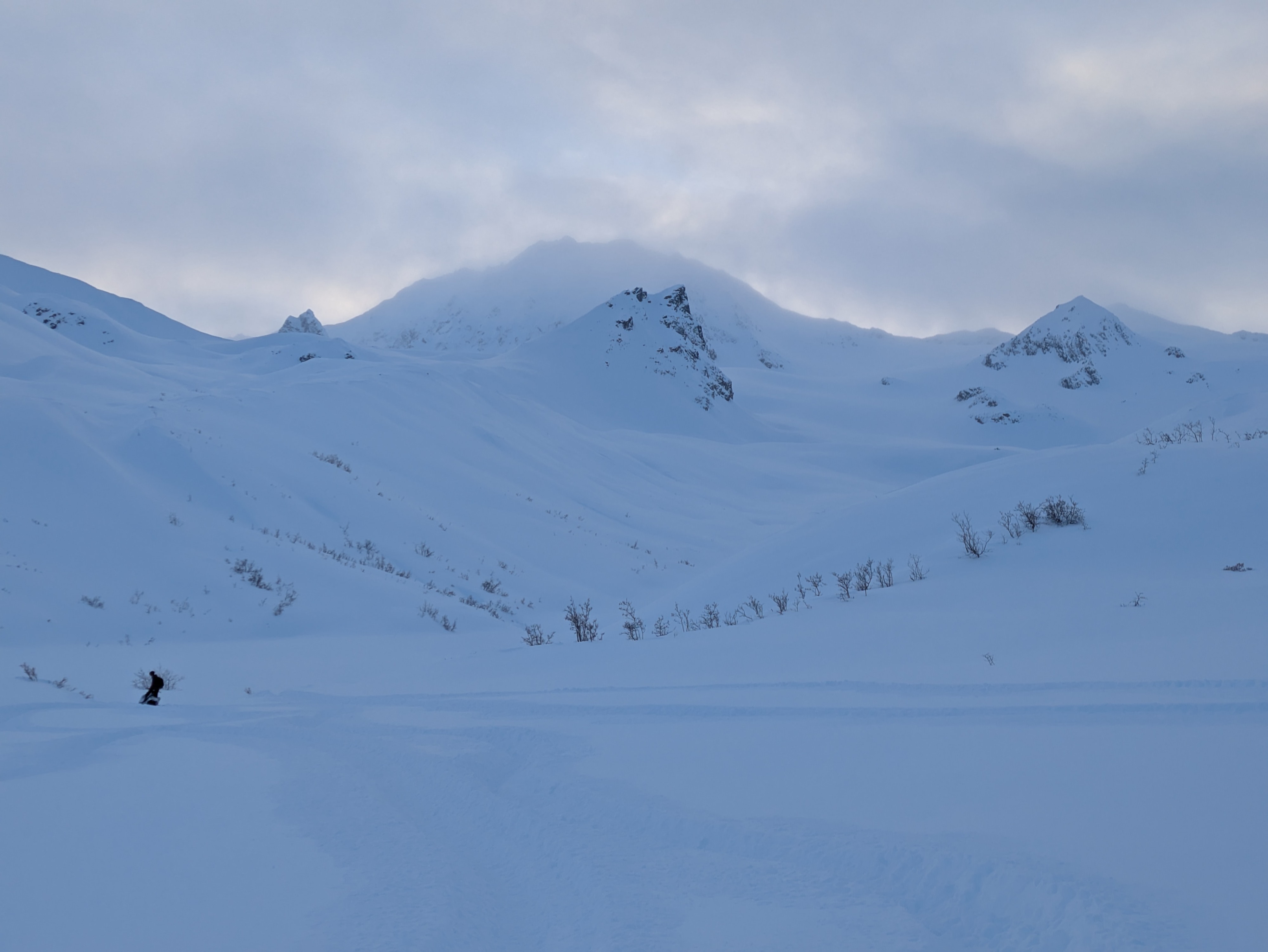
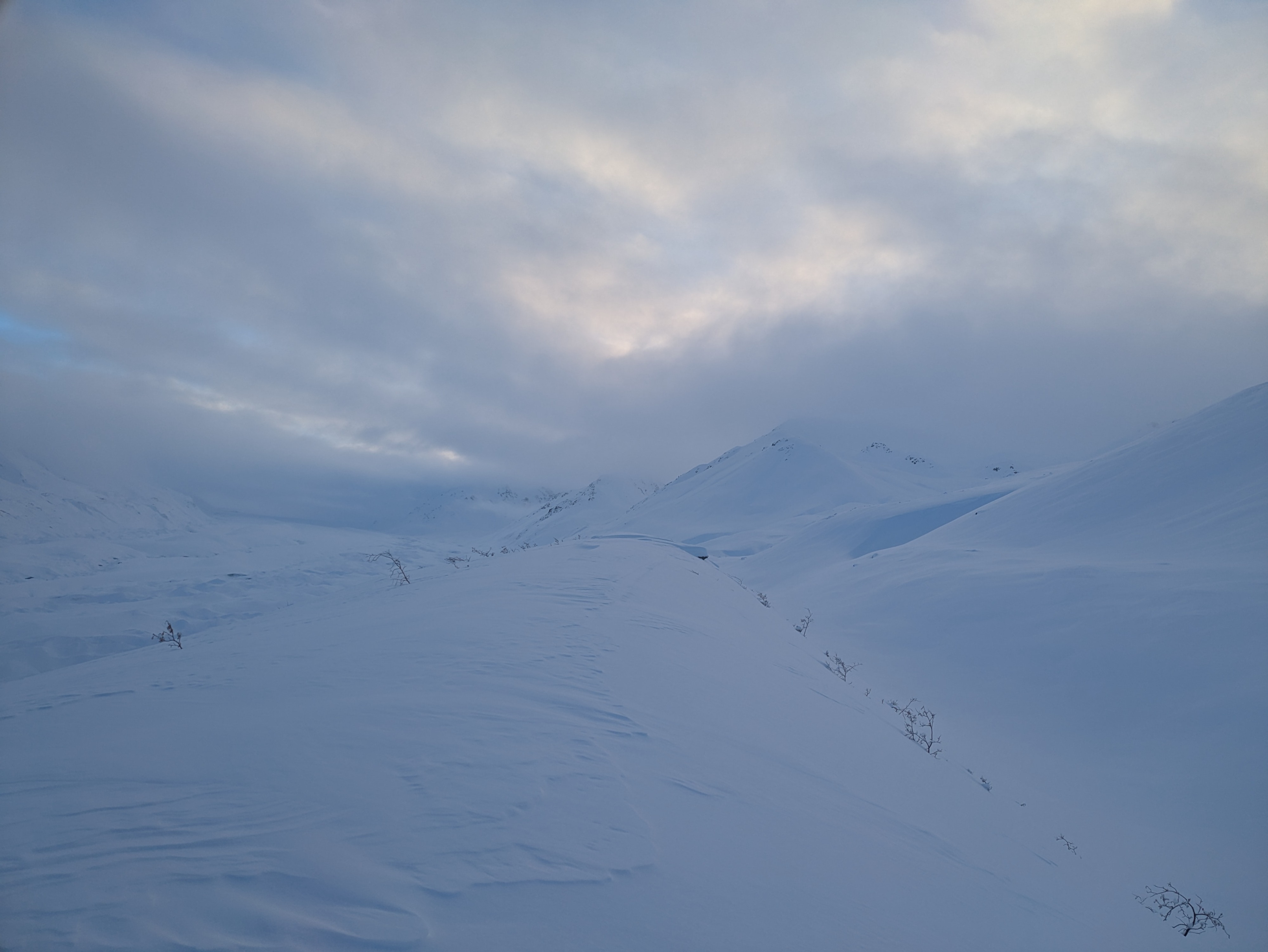
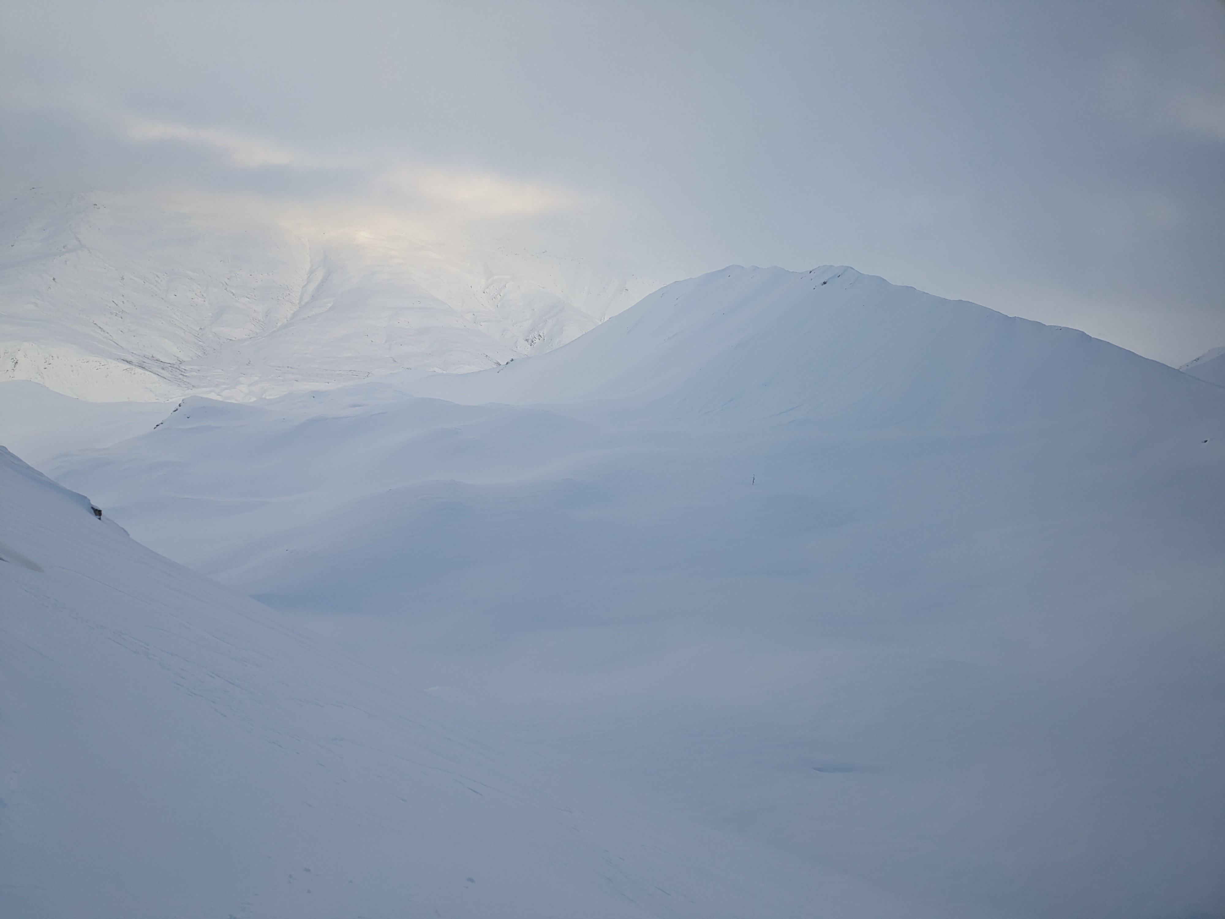
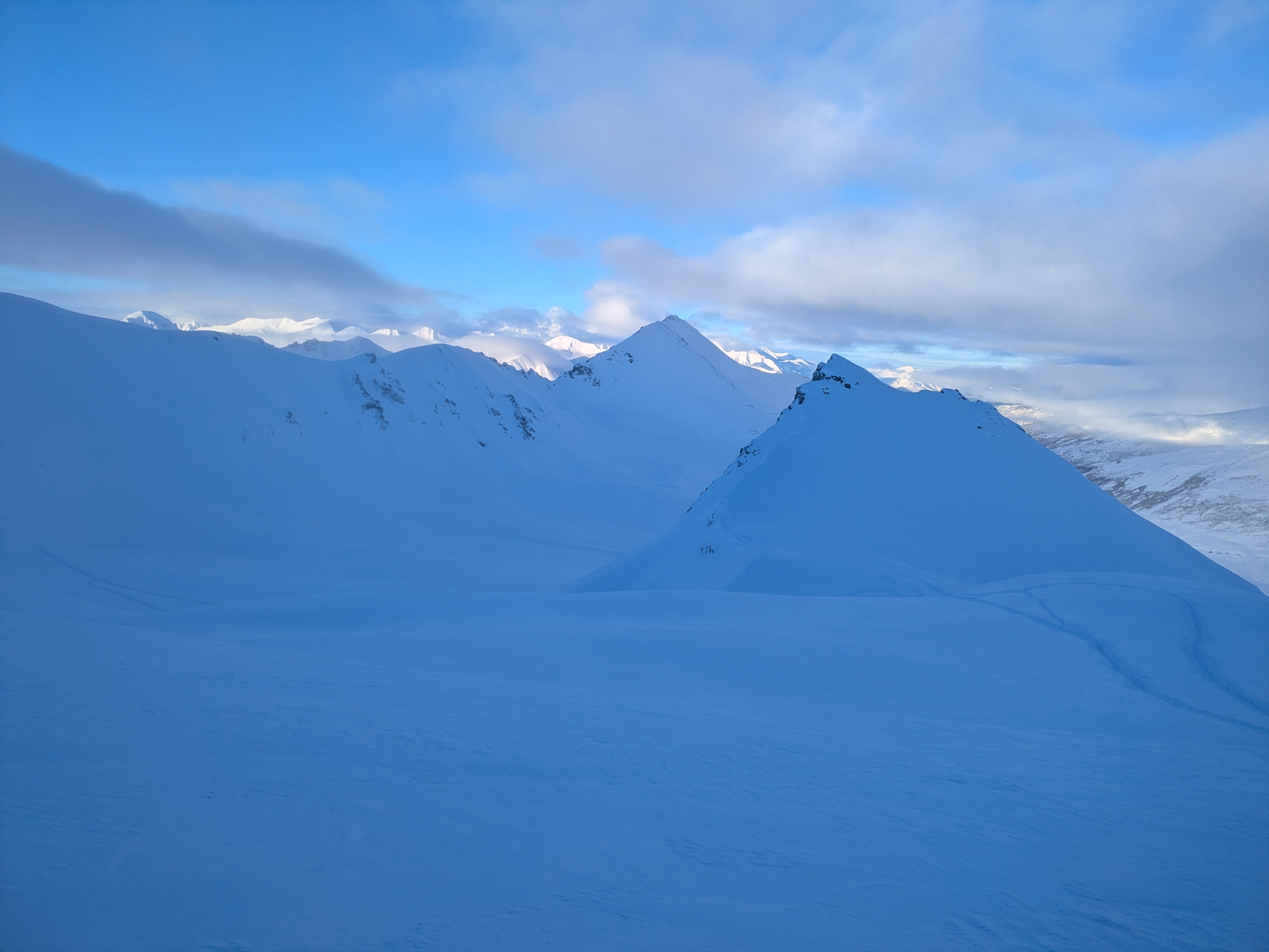
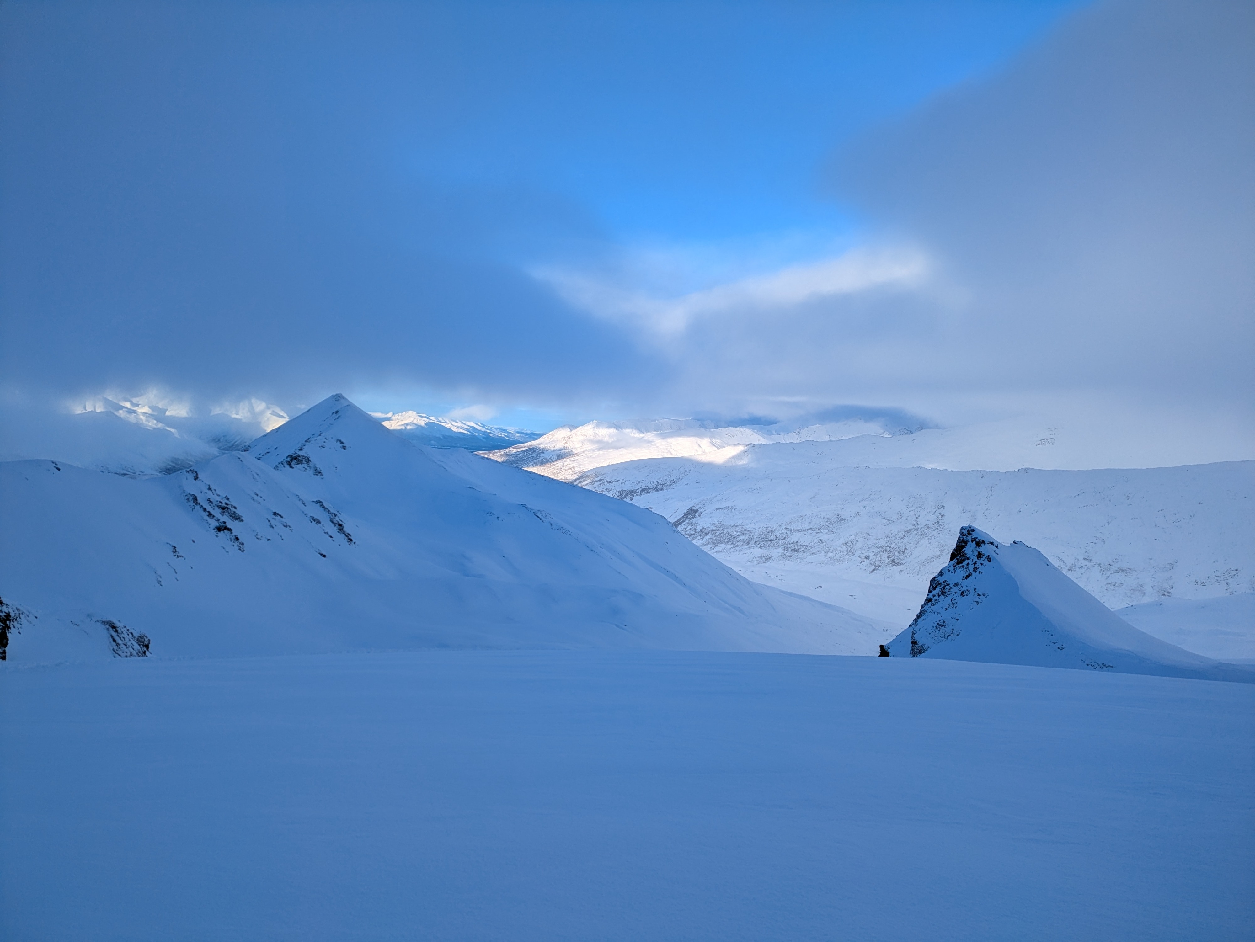
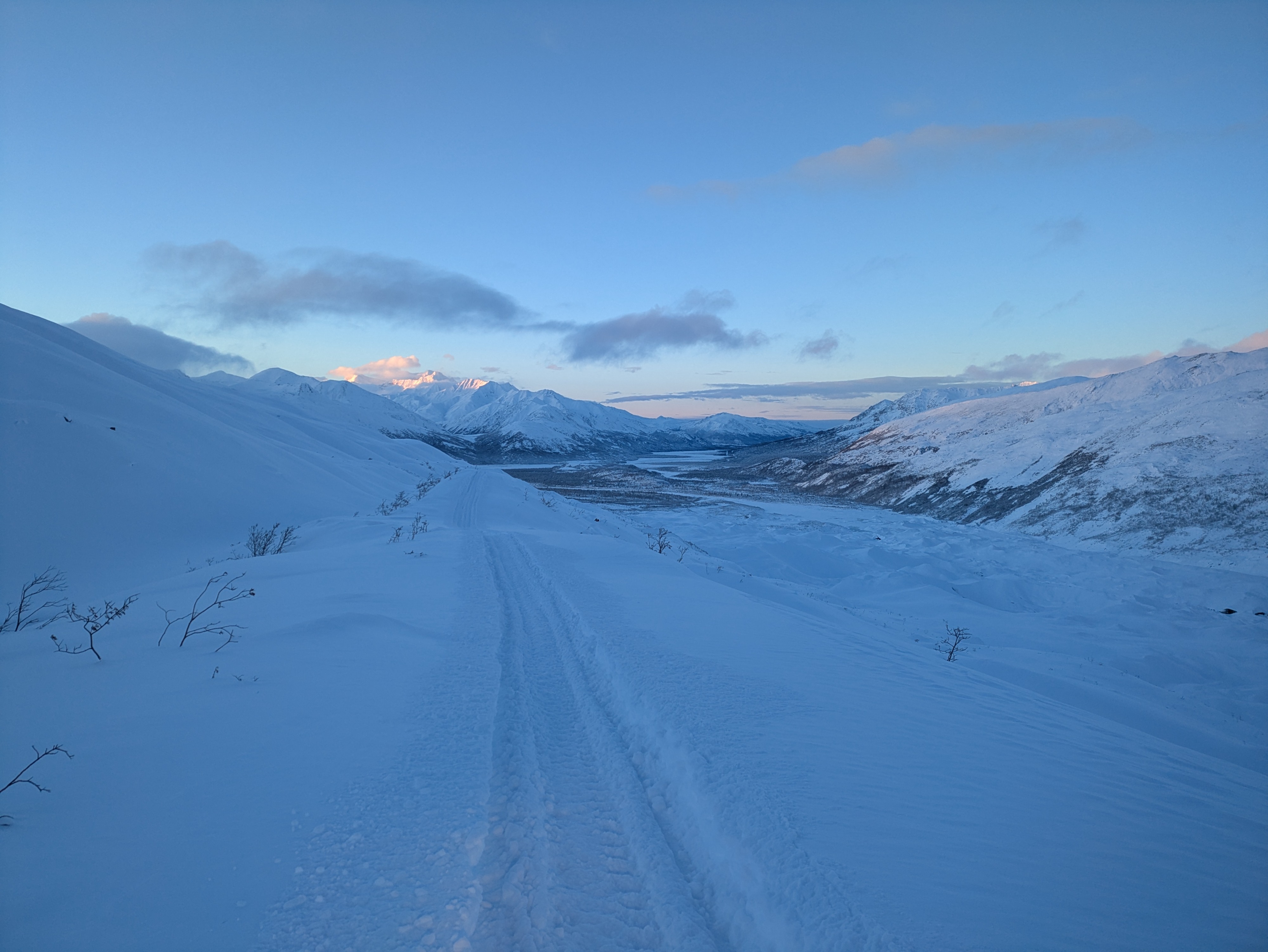
We went out with a conservative mindset, anticipating another day of low vis combined with snow loading overnight. As the clouds began to clear we were able to gain Look Eyrie with ease. Trail to Look Eyrie was well covered with the new snow. There is now enough snow SW of the trail to slide so keep good spacing and move from safe spot to safe spot if you choose to go there. This slope did slide last year in November with early snow, so stay cautious. The snow was deep in the basin, we stuck to the lower angle slope for most of the day. We saw not movement from the new snow. We saw some old slides paths on NW faces (SE of the Weather Station and the ridgeline SE of the Basin) It was difficult to tell how old they were with the new snow, but they all appeared to be small loose snow slides. We were on the lookout for wind slab signs after the wind event last week but couldn't ID any. Again we could have missed them with the new snow. We did use a test slope at 5,000' to try and get the new snow to move but only got sluff/loose snow movement We were cautions of all the new snow that fell overnight, but saw no red flags where we traveled. We were able to produce some sluff/loose snow on test slopes.
Weather
- Air Temp
- 25
- Cloud Cover
- broken
- Wind Loading
- none
- Recent Snowfall
- 20
- Snow Avail For Transport
- large amounts
Snow let up in the morning then clouds slowly cleared by mid day.
Snowpack
Finally some new snow! Probably around 6" at the road and at least 10" or more in Look Eyrie. It was deep. at higher elevations there wasn't much of a crust layer and appeared to by right side up snow pack in most spots. Much more of a pronounced crust underneath the new snow under 3,500',