
Quick report
- Cracking
- specific
- Collapsing
- specific
I got out for a quick tour in the Mill City area today to get an idea of new snow totals and the sensitivity of storm instabilities in the area.
- Today's, new snow seems to be consolidating relatively quickly; however, it was not well bonded to the melt-freeze crust at the new old interface.
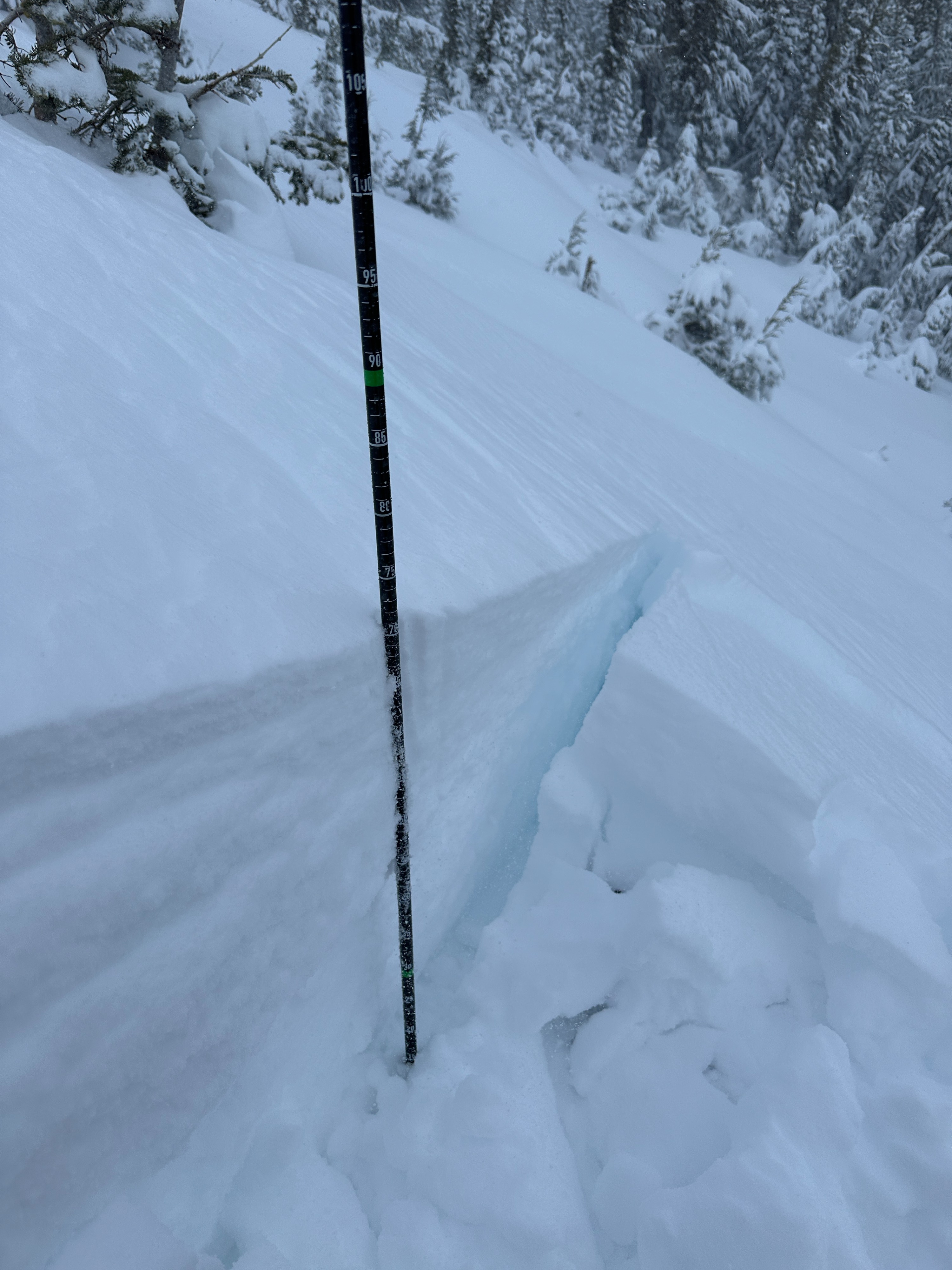
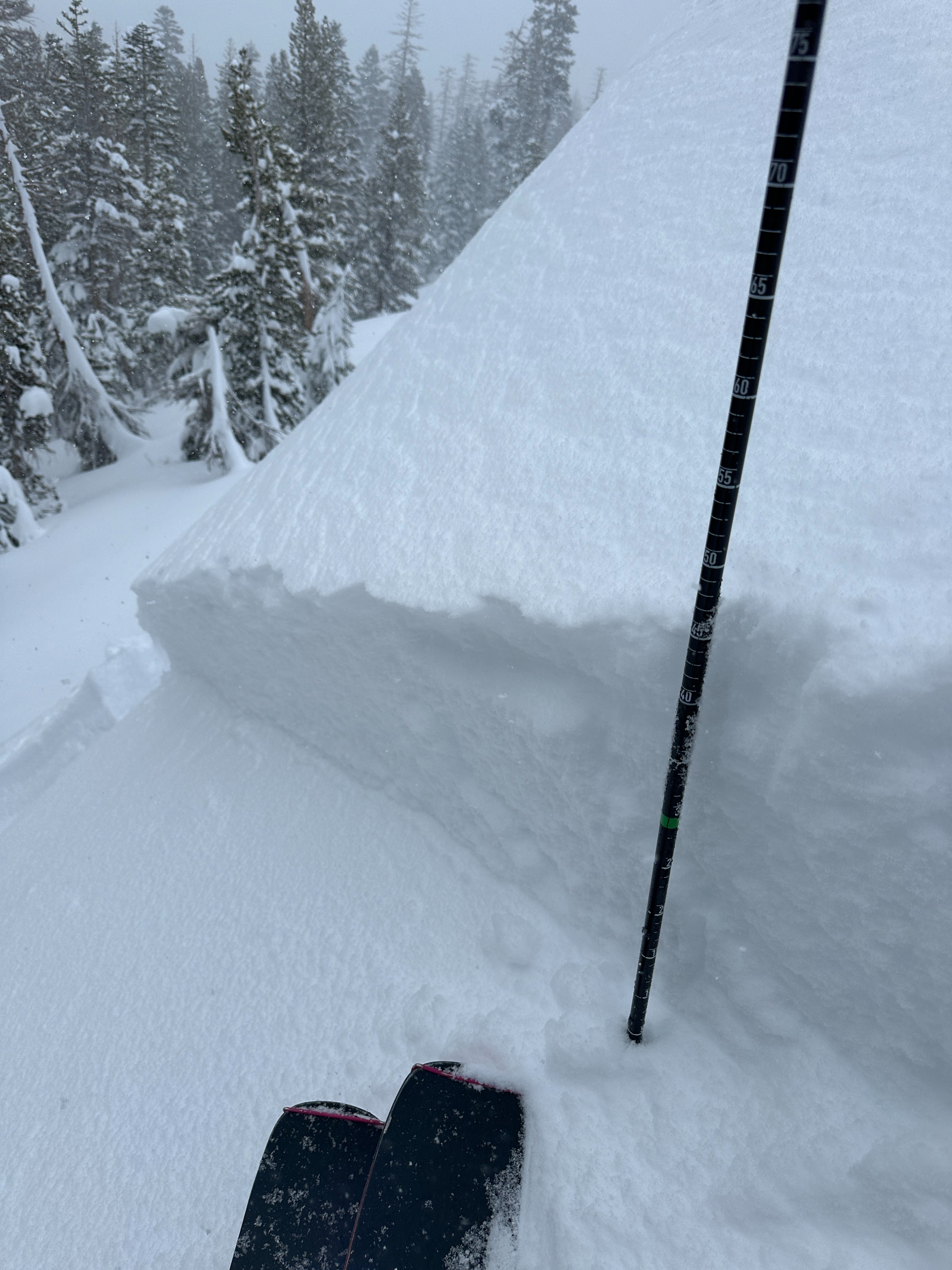
- New snow totals were measured around 40-45 cm (15"-17") at elevations between 8500' and 9500'
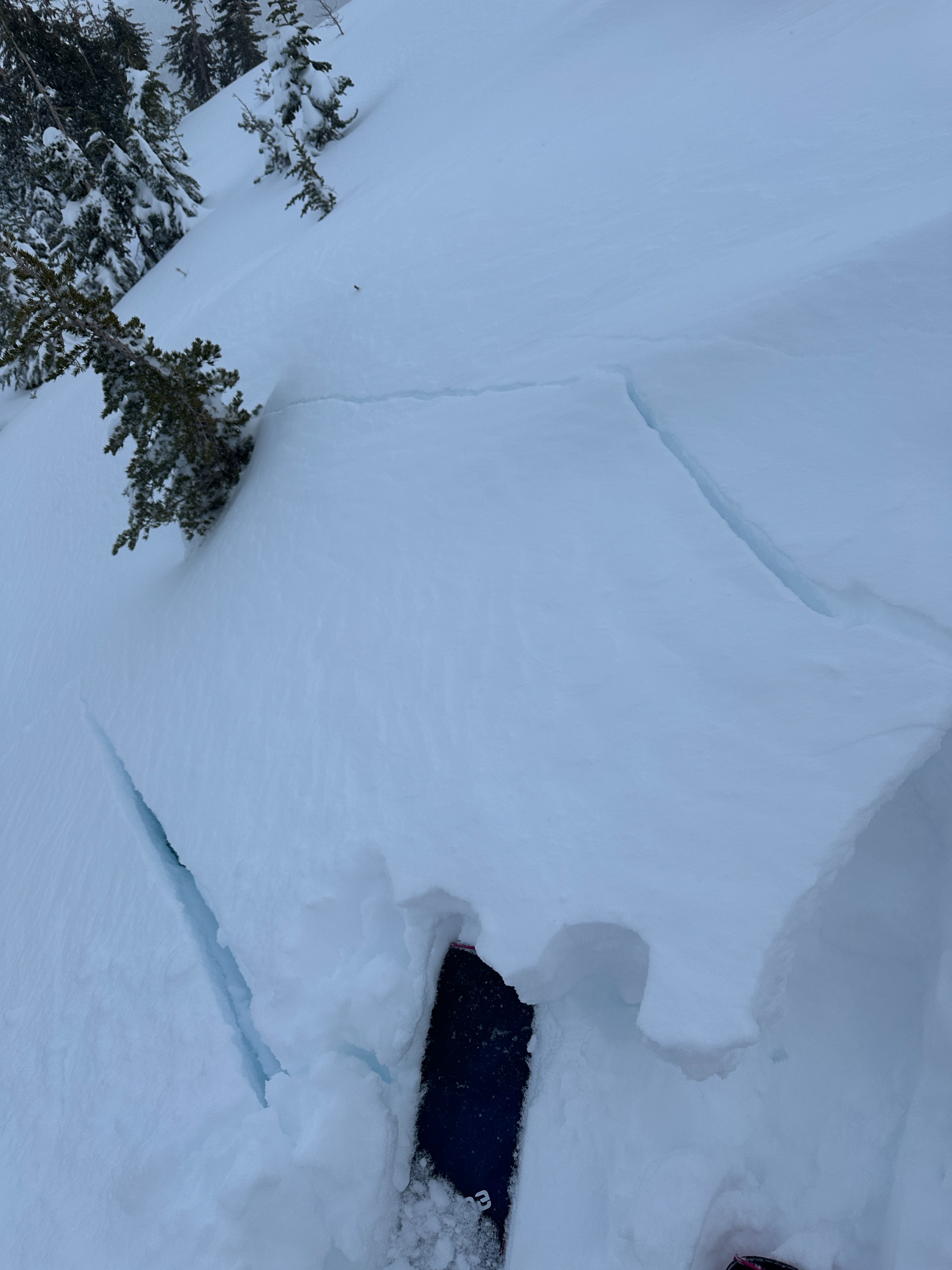
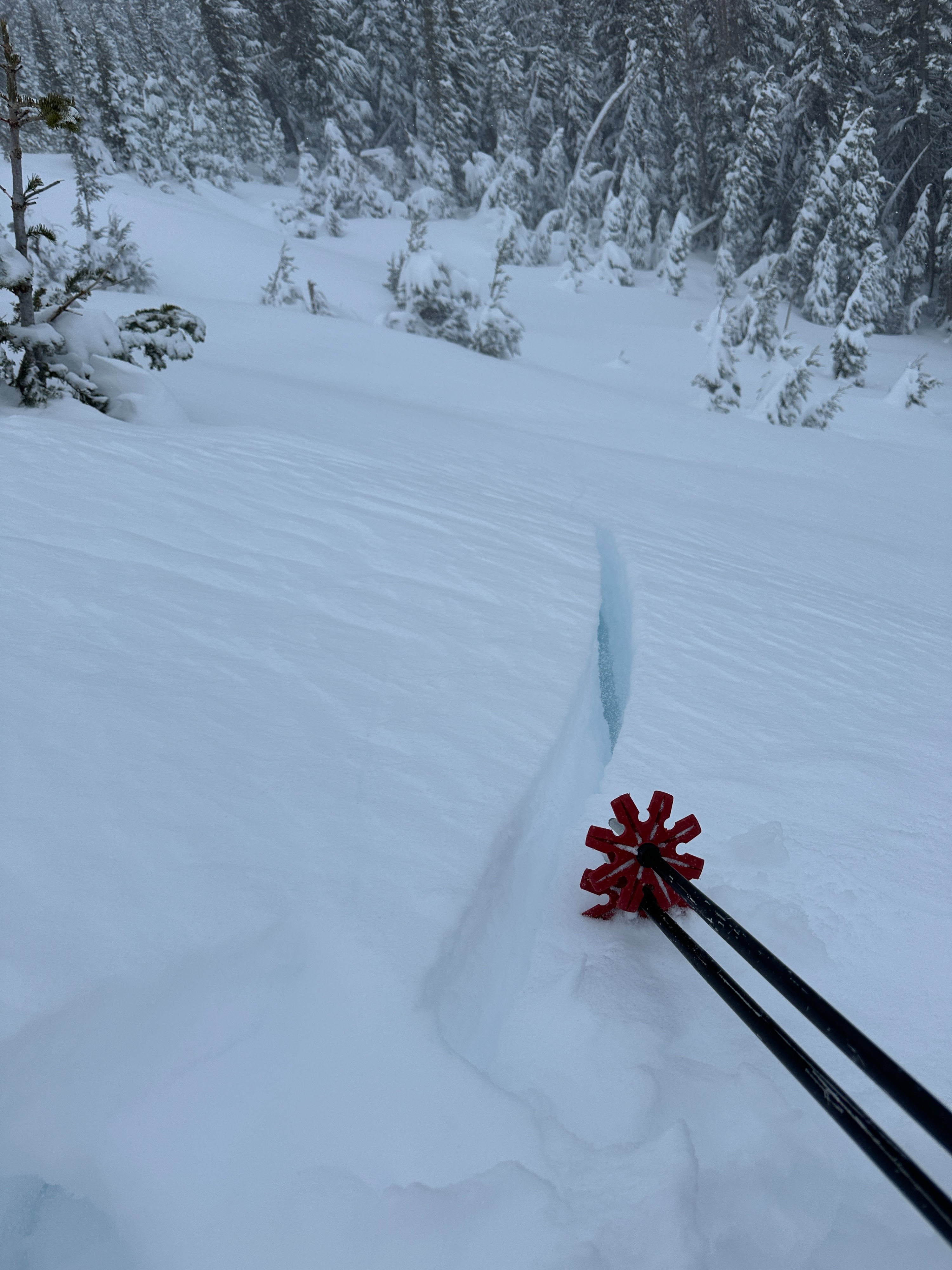
- Surface cracking was observed in areas with recent wind deposits.
- Storm instabilities seemed most likely to break at the new old interface. Despite the new snow totals I was not surprised to see no loose dry sluffs during my travels.
Weather
- Air Temp
- 20
- Cloud Cover
- overcast
- Wind Loading
- moderate
- Recent Snowfall
- 40-45
- Snow Avail For Transport
- large amounts
Heavy snow continued through the morning becoming more intermittent in the afternoon. Winds were moderate to strong BTL with more continuous strong winds near treeline.
Avalanche
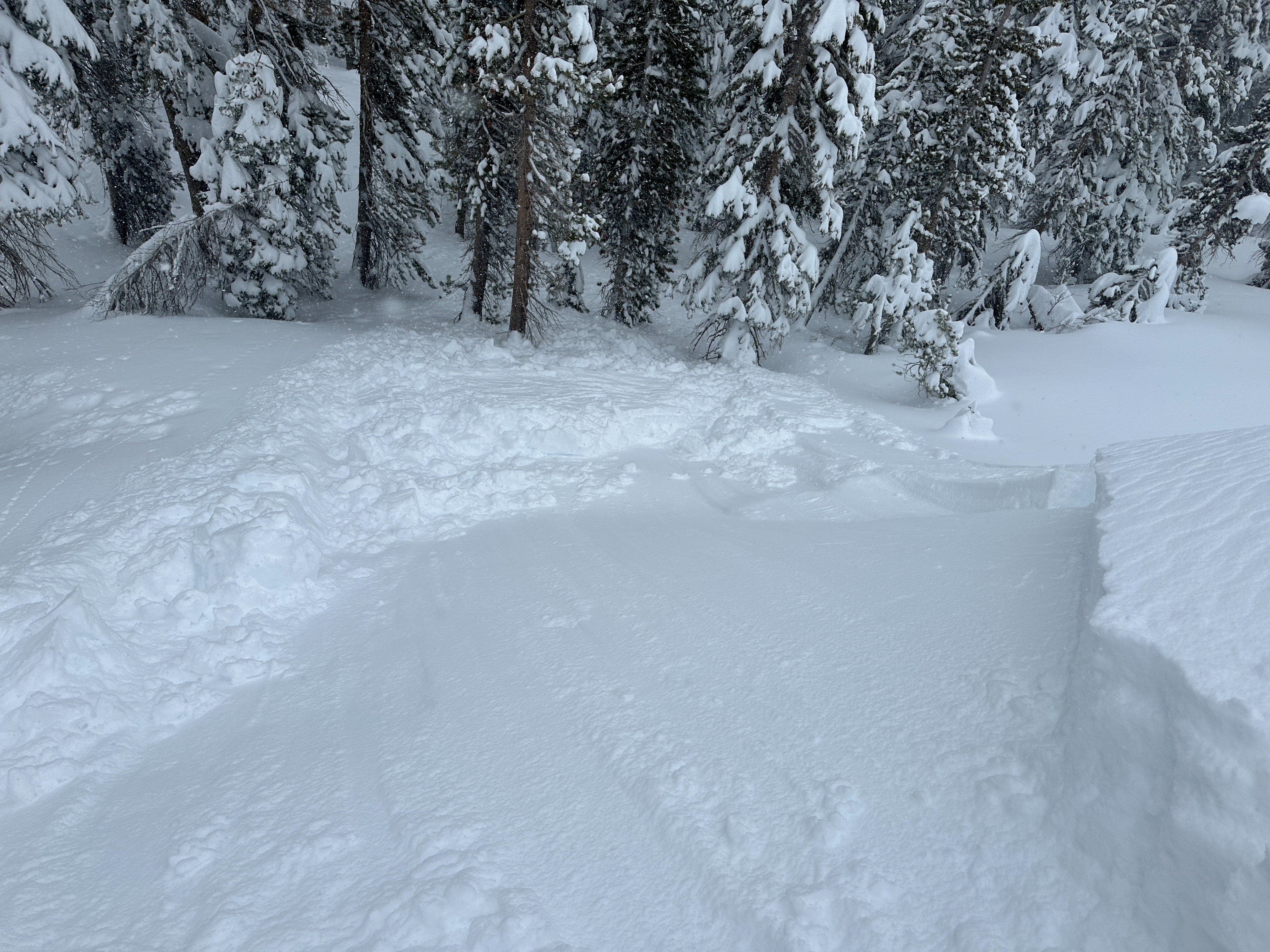
-I initiated a D1 storm slab on an NE facing test slope at around 9000'. This slide was approximately 15' wide and ran for about 20'. the crown of this slide was 45cm deep. I would rate the sensitivity as reactive heading towards stubborn. -My photos didn't turn out, but as the cloud cleared out around 430, I observed at least two crown lines along the Sherwin ridge in the typical start zones from the prow to the main AVY path. I would suspect these were D1-1.5 wind slabs.