
Quick report
I traveled over west, north, and east aspects up to 11,200 ft. in Rock Creek to get some snowpack and surface information from an area in the southern half of the forecast area.
- I saw no signs of instability other than avalanches that may have run during the windy storm 12/14.
- The snowpack in Rock Creek is shallow and faceted (big surprise, right?) covered by a variety of punchy, crusty surfaces in most locations.
- It was a calm day with almost no wind.
Weather
- Air Temp
- Above freezing
- Cloud Cover
- scattered
- Wind Loading
- none
- Snow Avail For Transport
- small smounts
A calm, mostly sunny day with increasing high hazy clouds.
Snowpack
Rock Creek has a shallow, faceted snowpack covered by various surface conditions.
Below treeline, snow depth was between 30 and 50 cm. Most surfaces below 9900' were melt-freeze. Melt-freeze also has affected southwest, south, and southeast surfaces up to 11,000 ft.
Near treeline, snow depth ranged from 35 to 75 cm with dirfted areas having over 135 cm. Open areas near and above treeline were covered in hard (1F-K) unreactive wind slabs or thin breakable wind board. The wind deposits sat atop facets.
Sheltered northerly and easterly slopes near treeline were all faceted.
The interface buried during the 12/12 storm was notable everywhere I went. It is facets covered by either a rain crust below 9700 ft, or by a faceting wind board above that.
I walked around a west-facing fetch at 11,200 ft and found it mostly stripped already by the 12/14 storm. The remaining patches were 1F-4F hard facets and my boot penetration was 10-15 cm.
Avalanche
- Size
- D1.5
- Type
- U
- Aspect
- E
- Trigger
- N
- Elevation
- 11100 ft
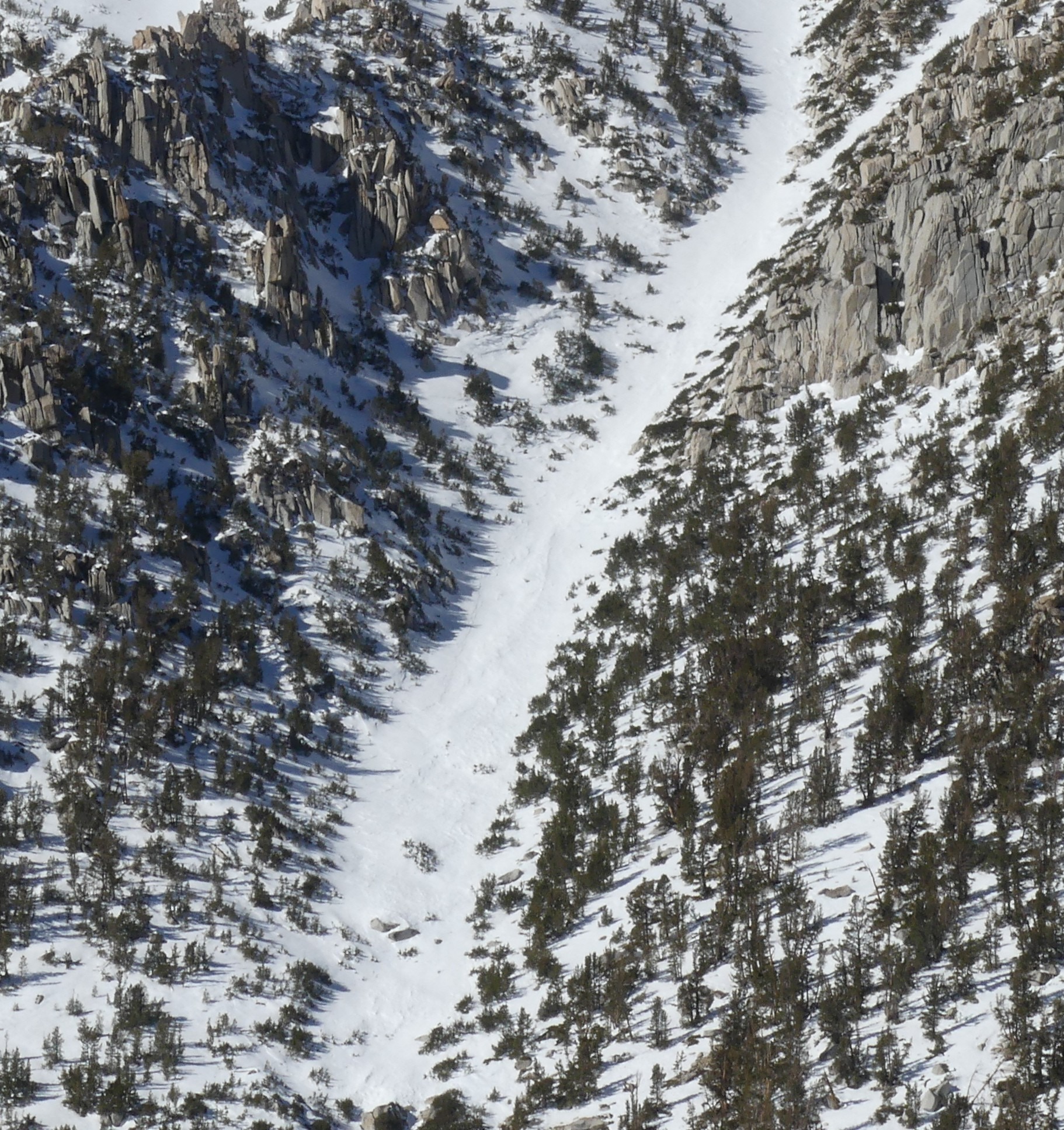
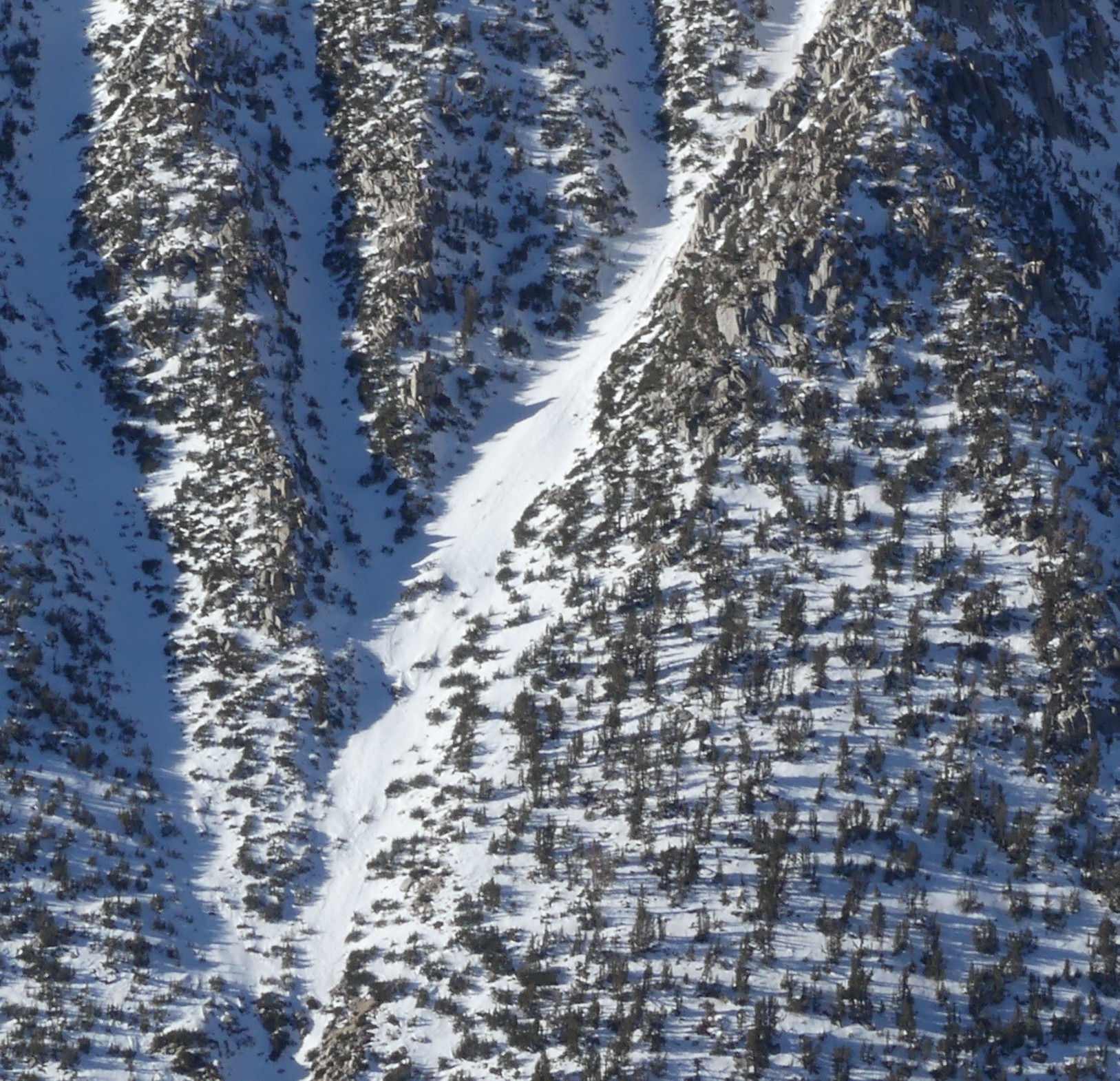
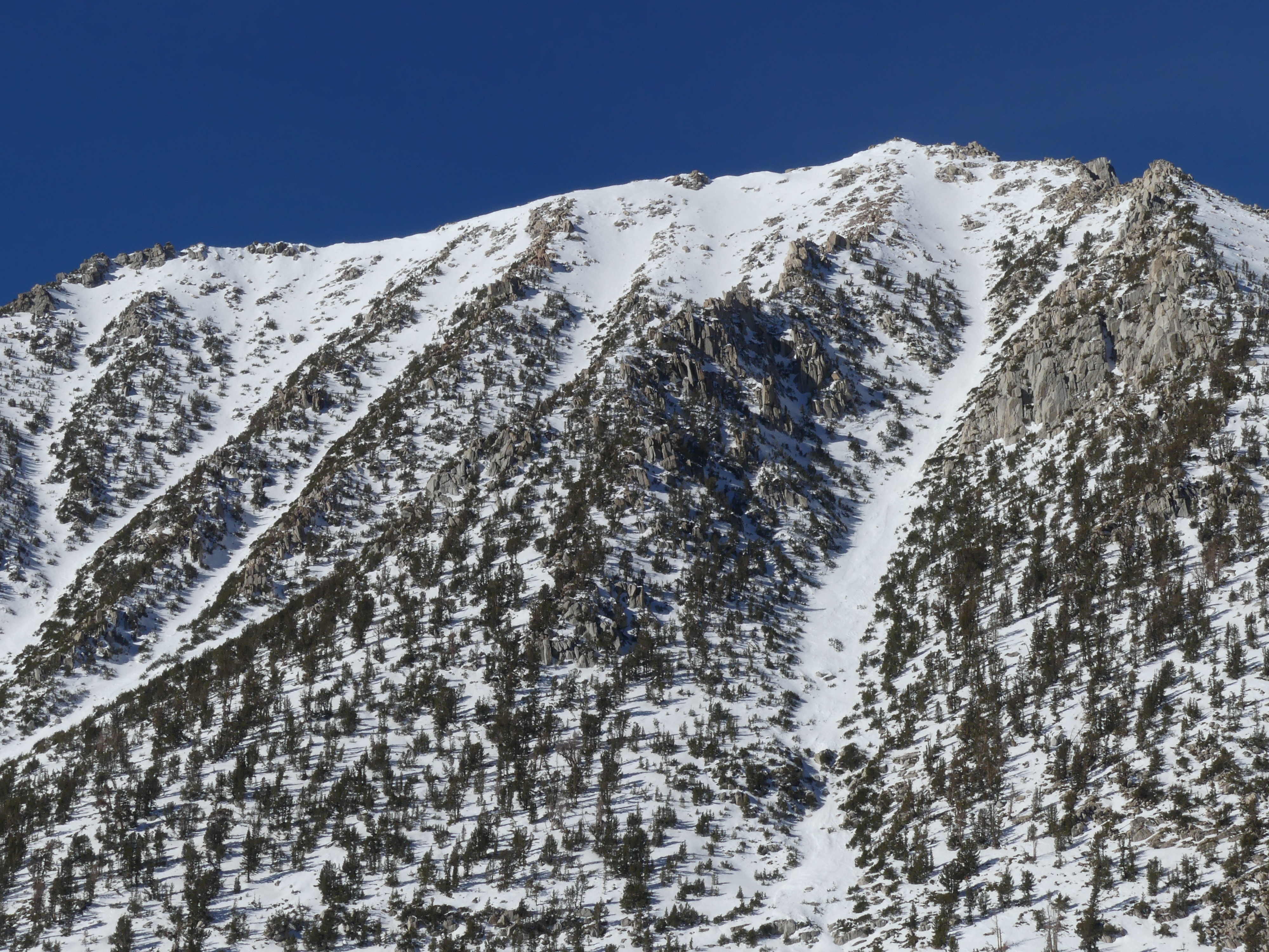
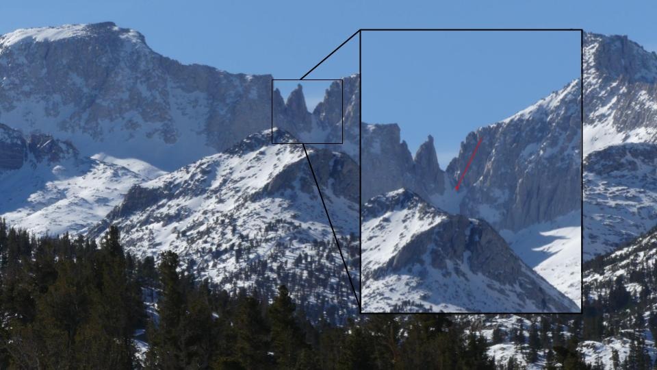
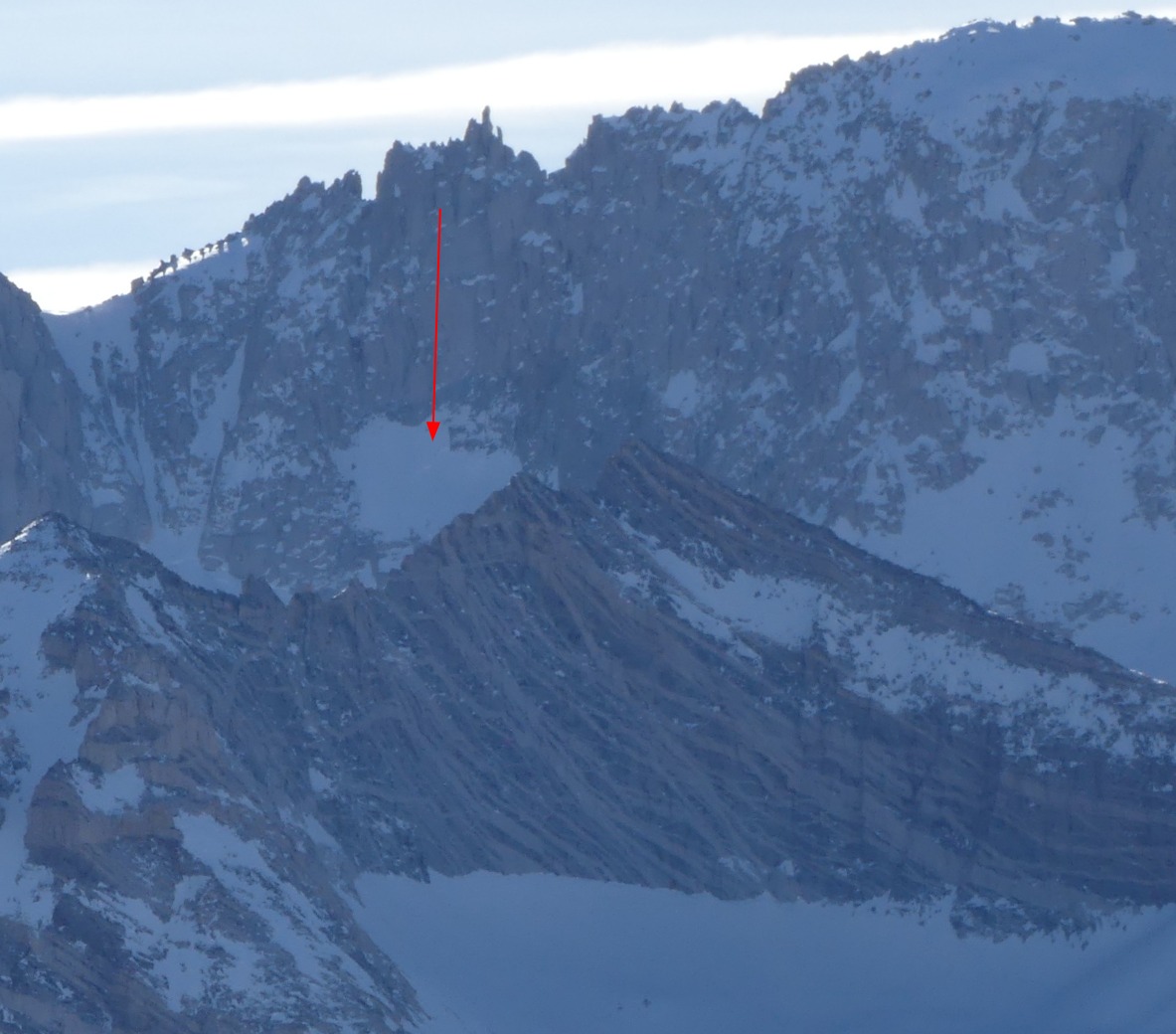
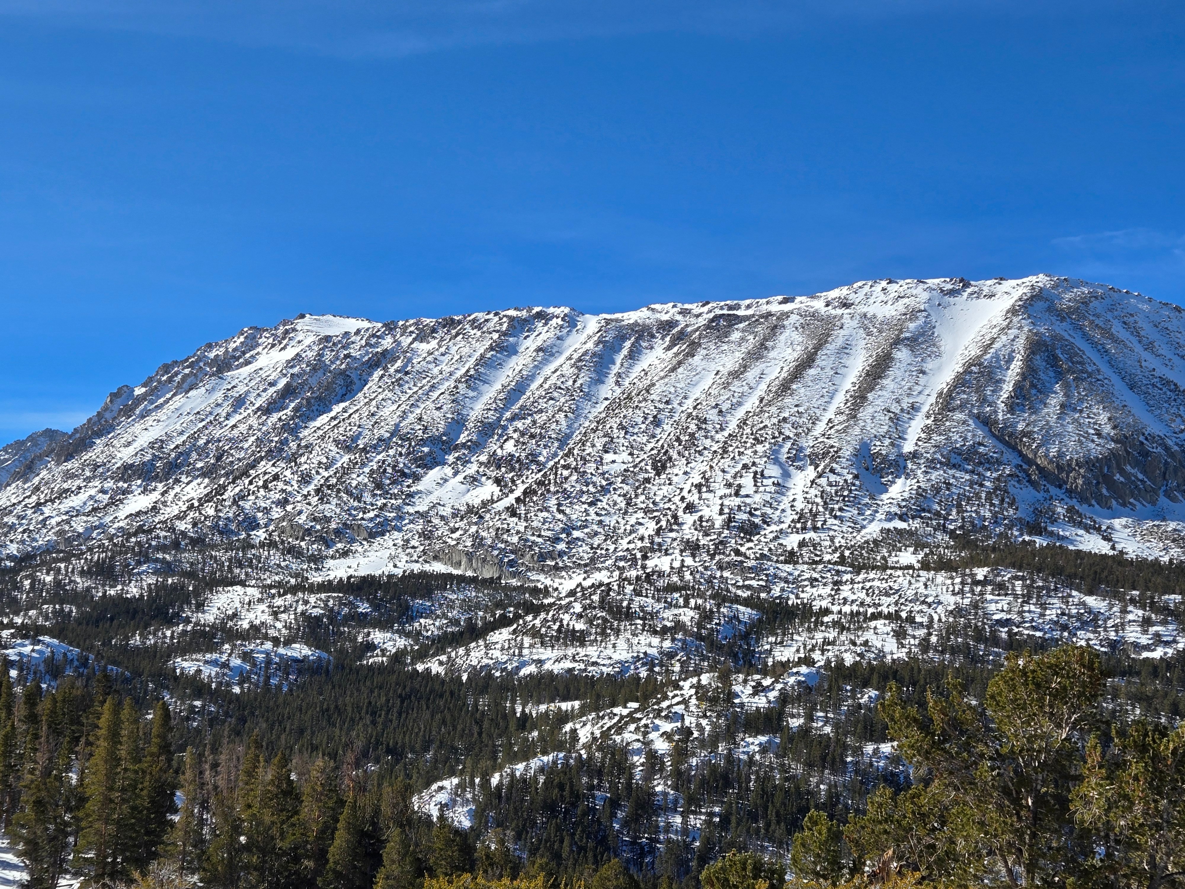
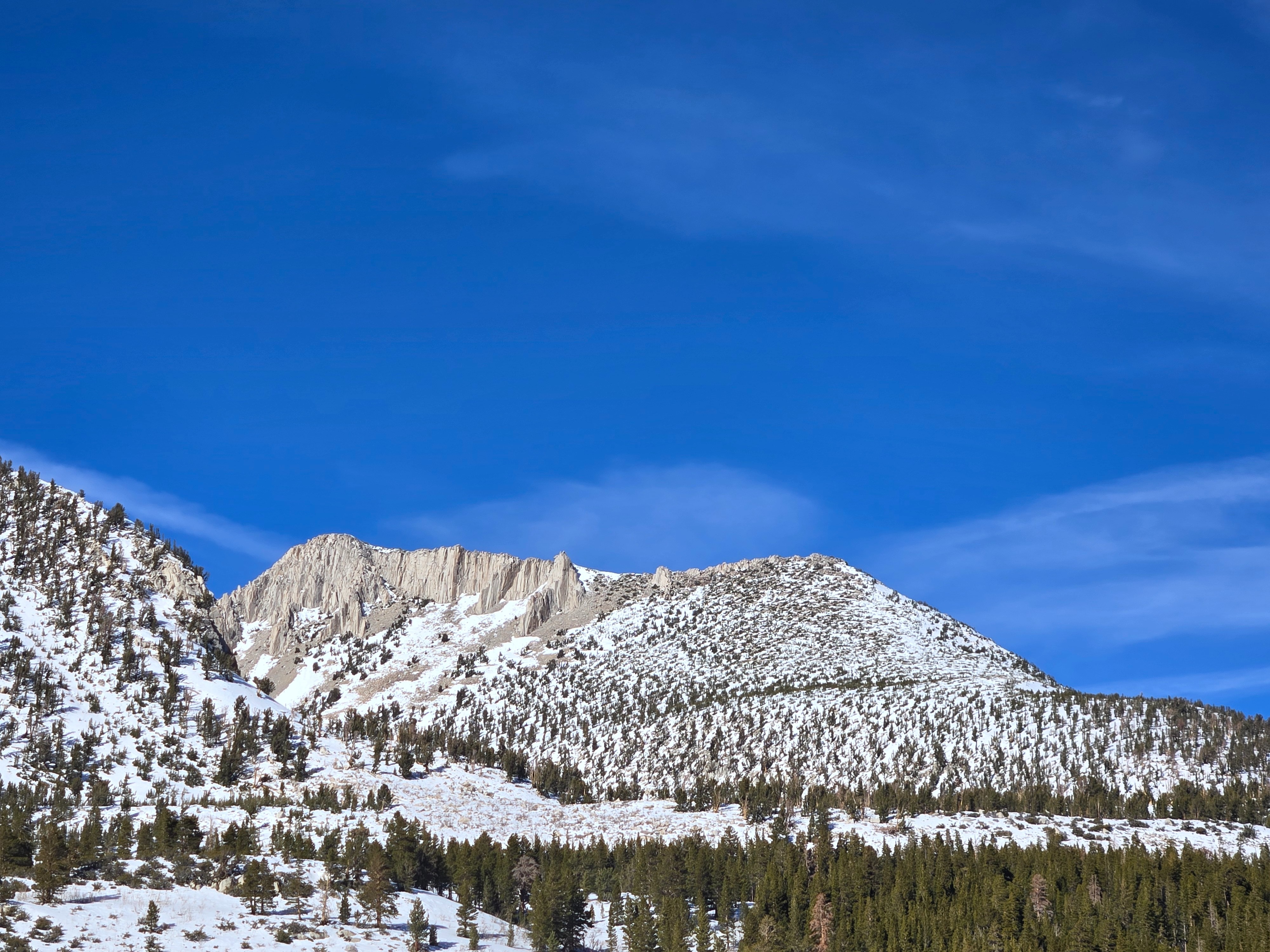
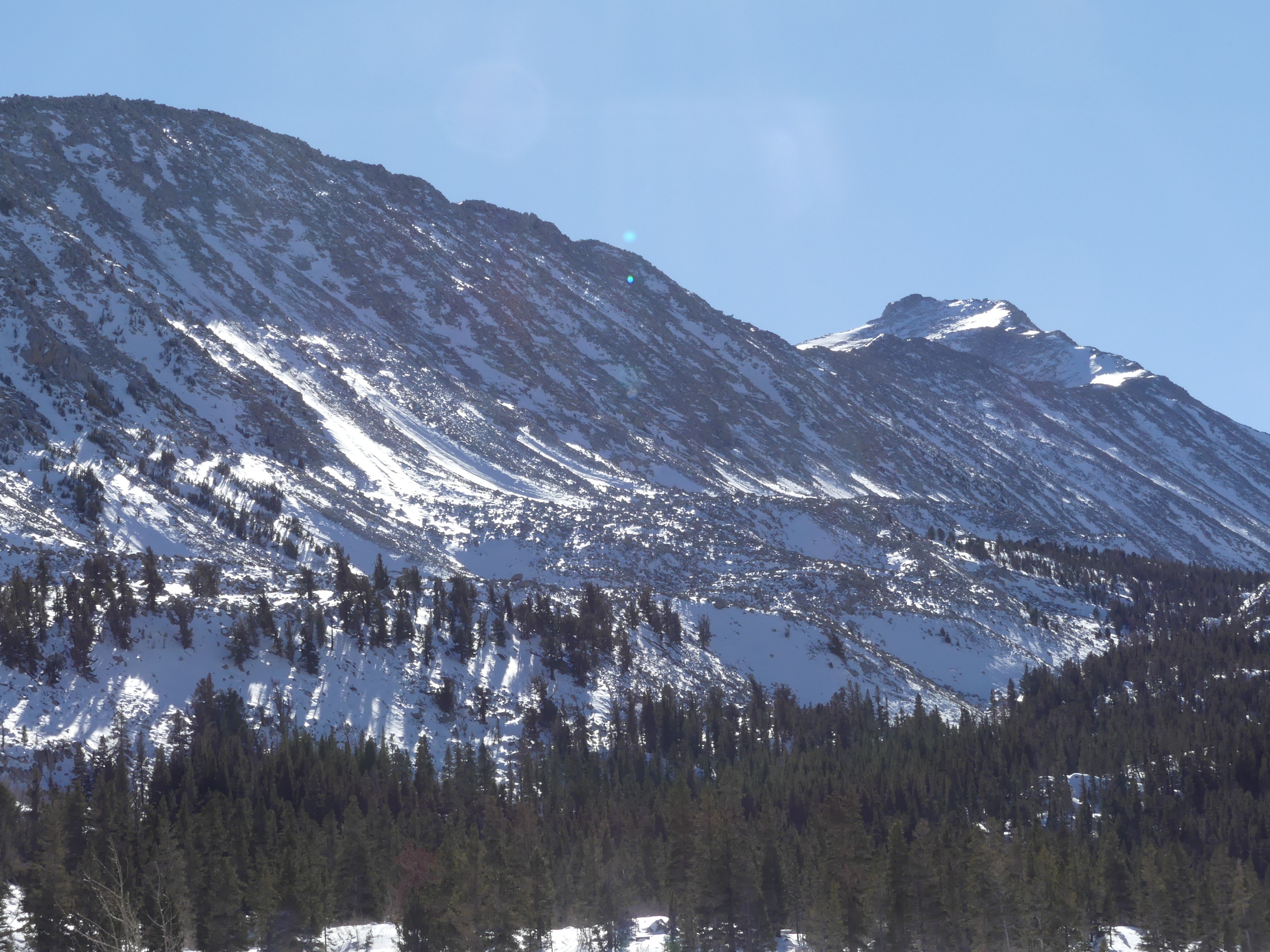
Old crowns visible under the Sierra Crest in upper Rock Creek and some interesting avalanches that broke mid-track on the east aspect of Pointless Peak. See photos.