
Birch Lake trail

Quick report
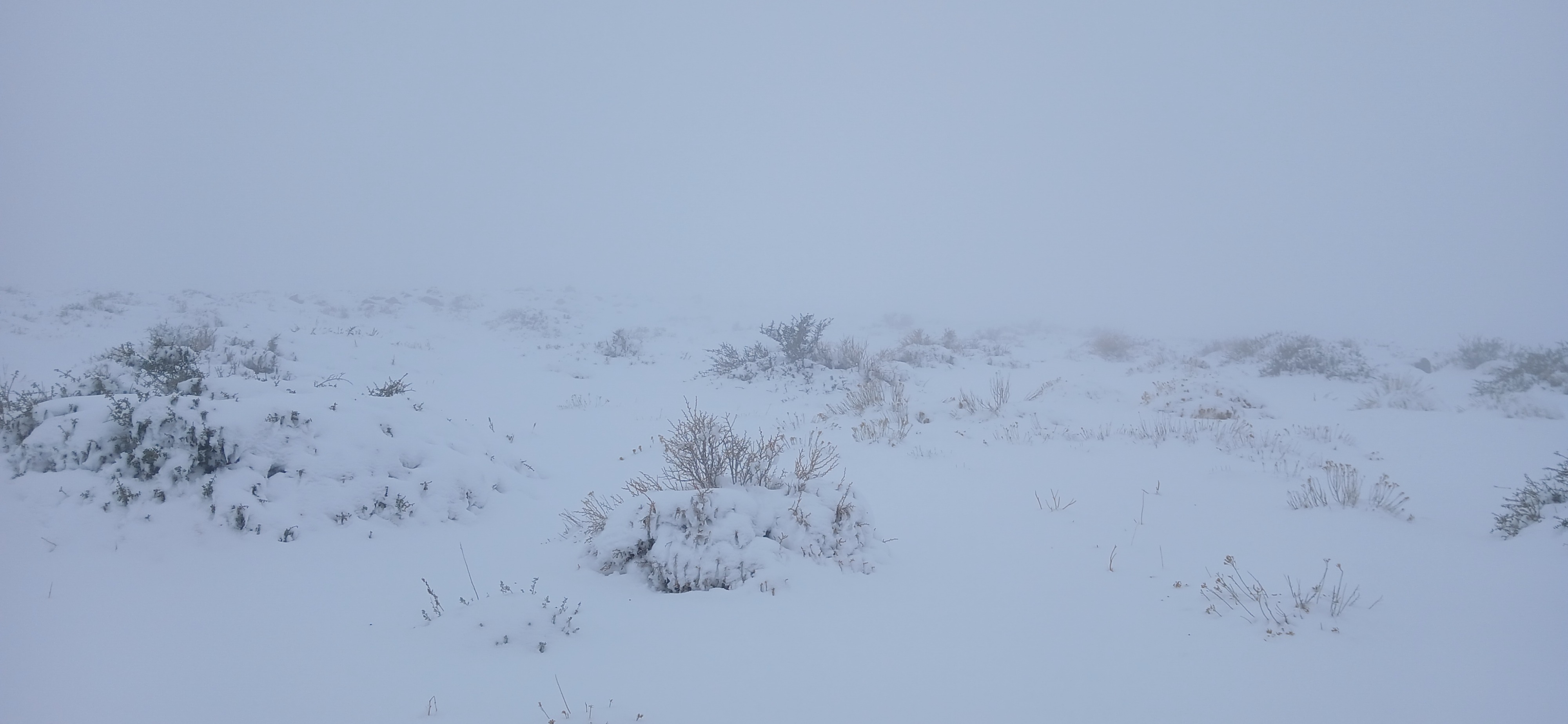
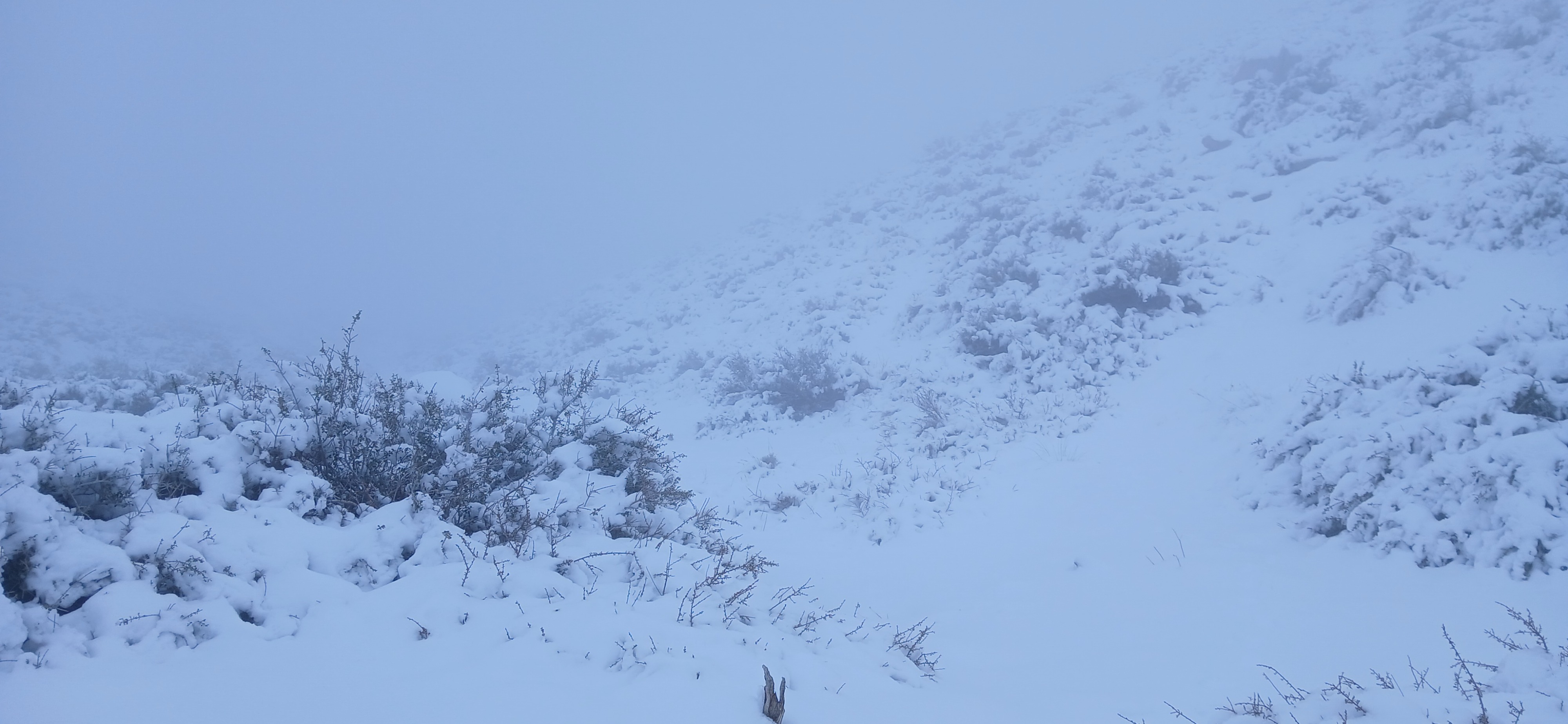
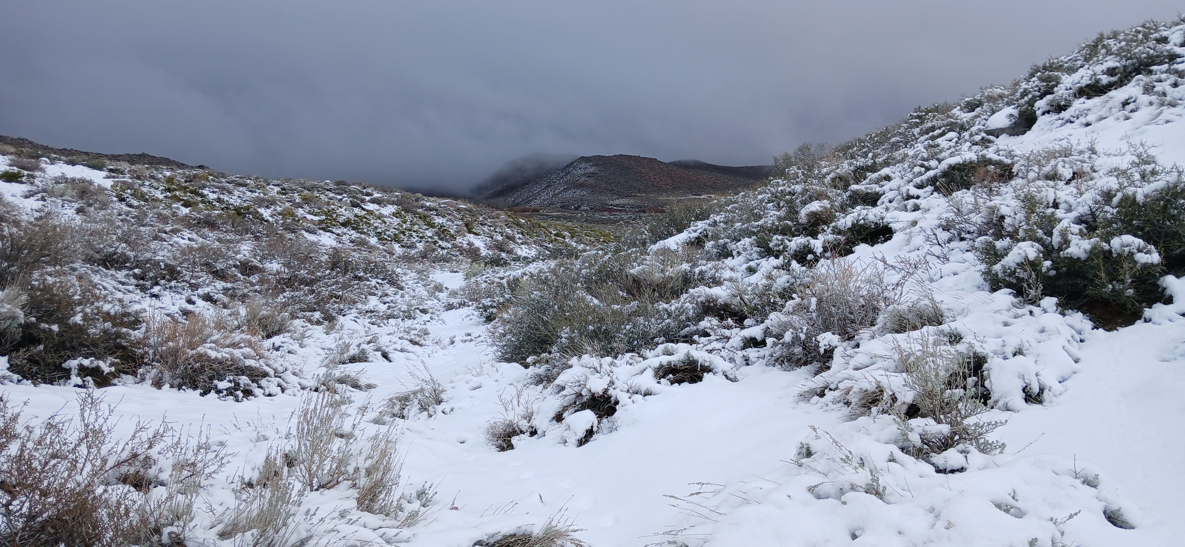
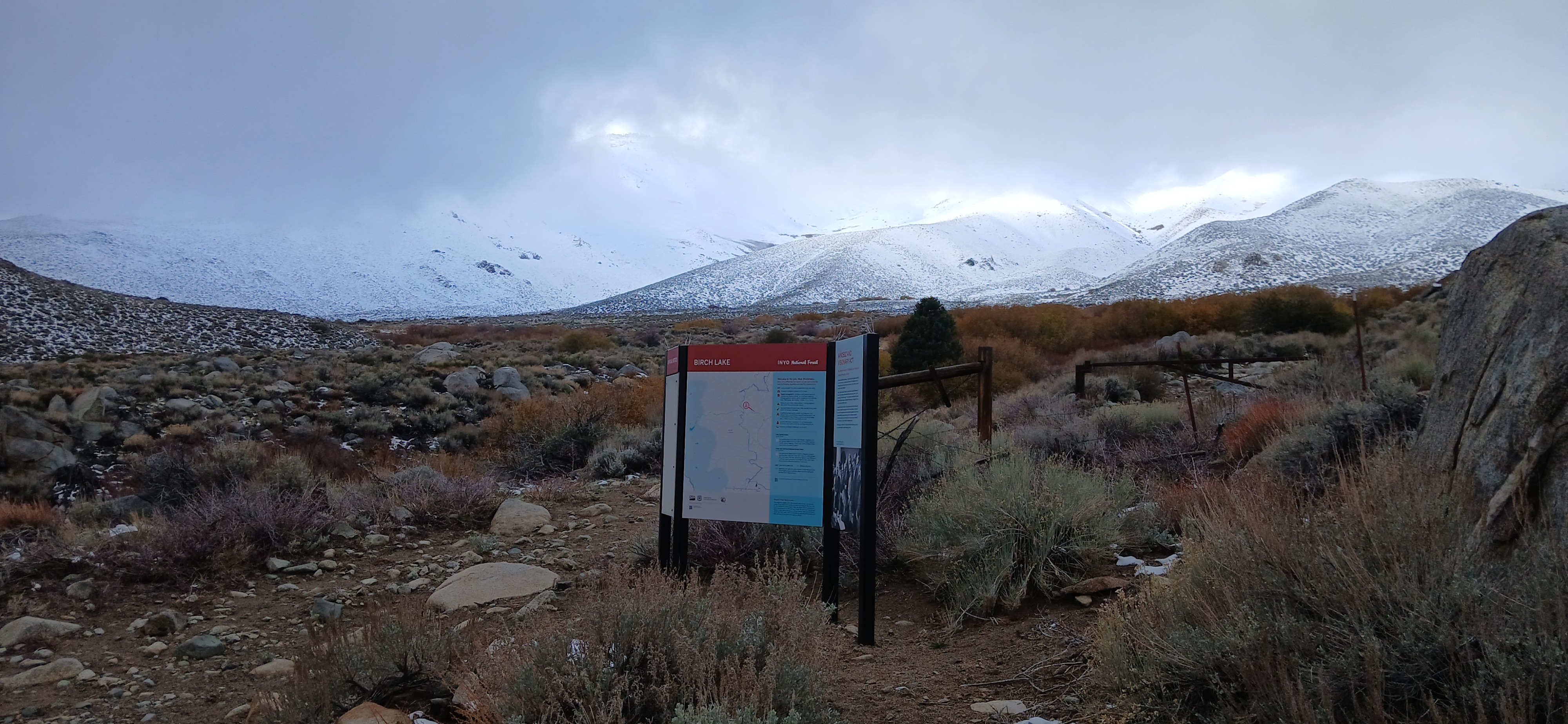
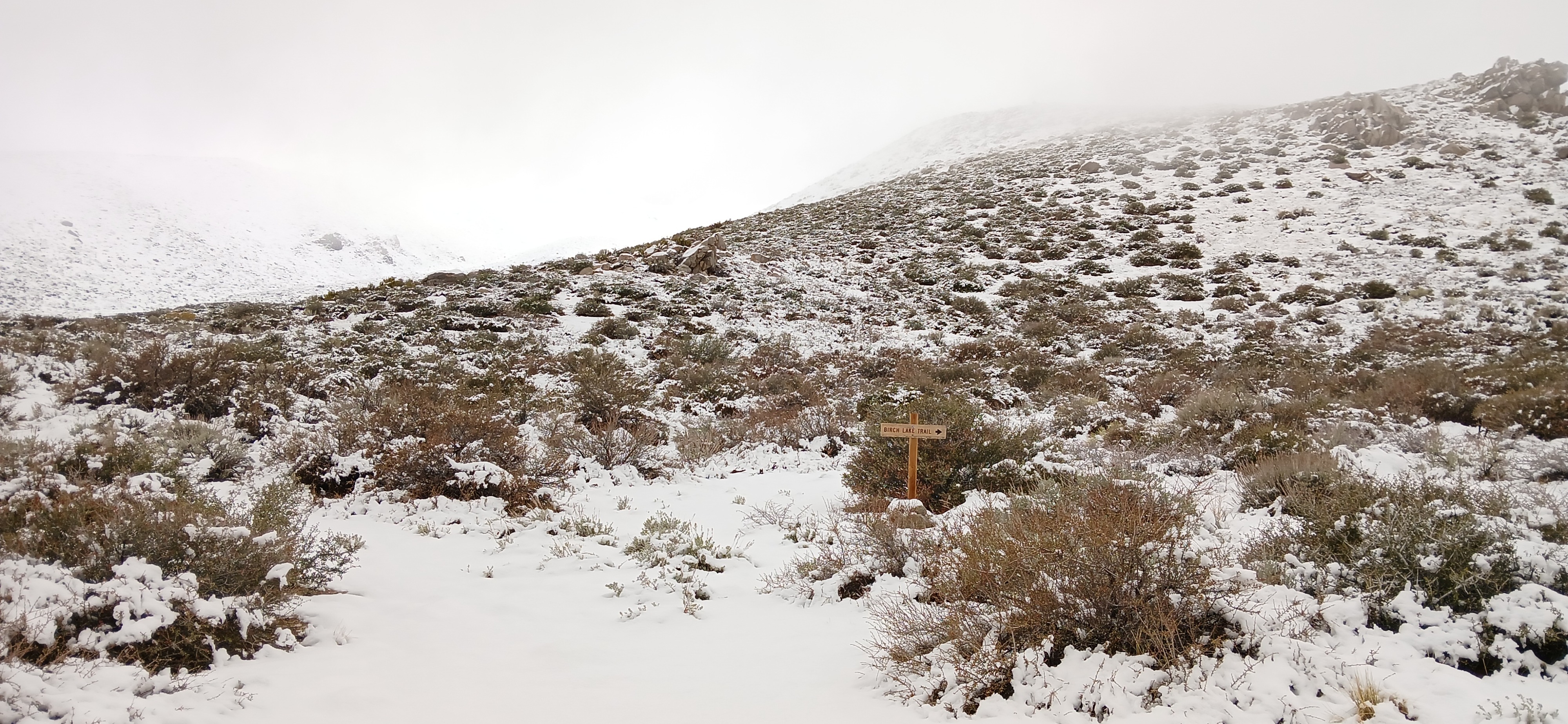
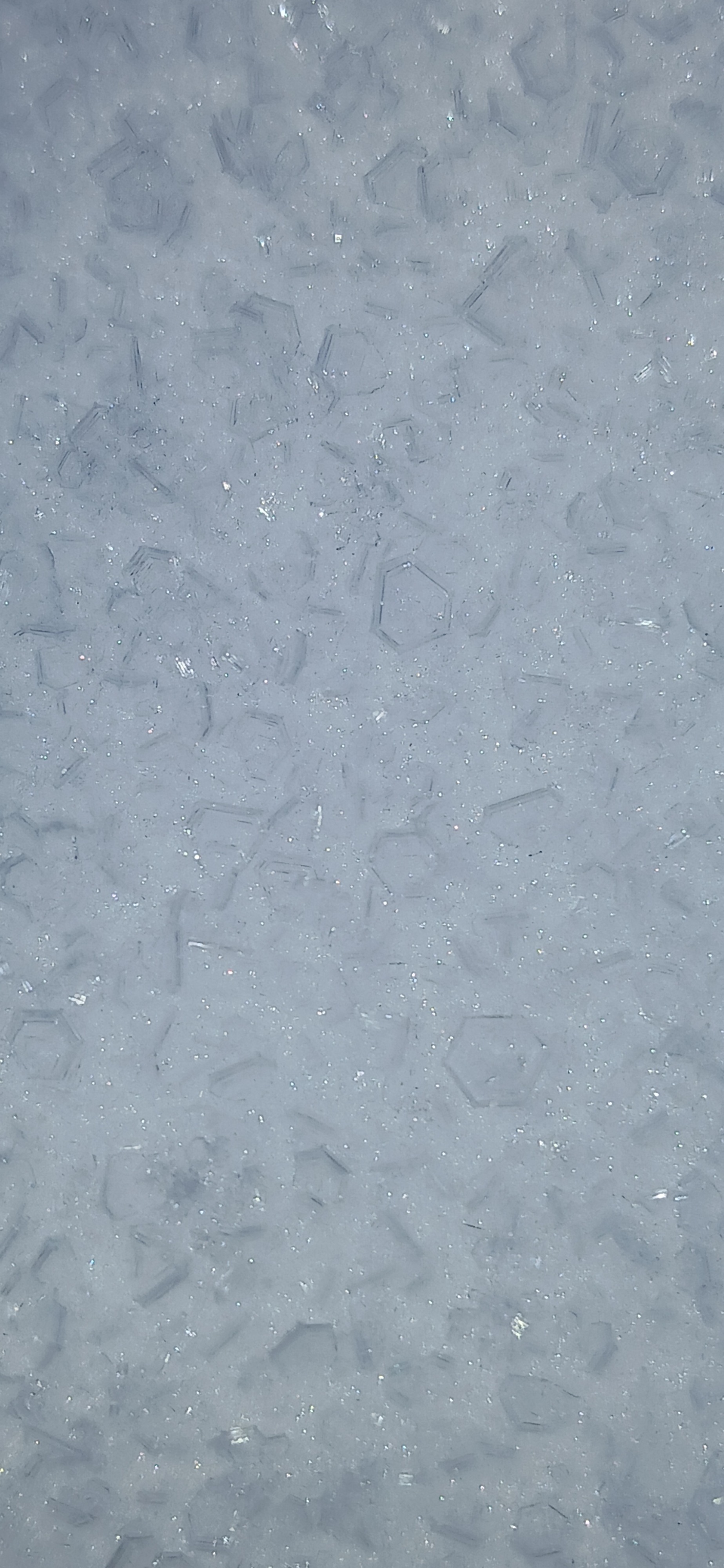
Went on an adventure up Birch Lake Trail hoping to get a view of the mountains. Got the adventure; not the views. When I left my car at 7am, there were thick low clouds with occasional holes that gave me a brief glimpse of Tinnemaha and Birch. As the morning progressed, the clouds filled in and there was a light mist that was trying to be rain-snow mix when I returned at 11am. Ground was bare at the car (6200’) and there was 4-6” snow cover starting around 7000’. I turned around at 7700’ in fog. Snow height was 8” dense, crunchy, and might be supportable to skis but still treacherous from sage brush. At that point, I would have preferred skis, but it would have been travel only, no turns. WEATHER: There were stars out overnight, but when I woke up this morning there was thick, low cloud cover. Morning was chilly and I suspect there may have been a temperature inversion. Winds were calm the whole time I was out. By the time I got back to the car, the air had warmed noticeably. The meadows were half-frozen in morning and had become soft and a little squishy in late morning. SNOWPACK: 930am @7700’ (low angle E-NE-facing terrain): Height of snow 20cm. At the surface there was a 2.5-3cm soft crust (1F+) with surface hoar needles 1.0-2.0mm on top. (I’ve heard of needle-shaped surface hoar, but it was cool to see it!) Below that, 1F- snow to ground consisting of decomposing storm snow grains, 0.3-0.5mm, moist. No old snow at this location and elevation. It is interesting to me that the crust was at the top of the storm snow here. Not sure if it’s the lower elevation or if the storm finished warmer here? I found surface hoar where I traveled today and around the parking lot in Rock Creek yesterday. I don’t know how high up in elevation it can be found, and I didn’t get out of “approach” terrain, but I wanted to make note of it for later. Bishop-Crowley area has had valley fog and inversions layers this week, and I wonder if it’s related?
Weather
When I left my car at 7am, there were thick low clouds with occasional holes that gave me a glimpse of Tinnemaha and Birch. As the morning progressed, the clouds filled in, and there was a light mist that was trying to be rain-snow mix when I returned at 11am. There were stars out overnight, but when I woke up this morning there was thick, low cloud cover. Morning was chilly and I suspect there may have been a temperature inversion.
Snowpack
Snowpack: 0930 @7700’. HS 20cm. 2.5-3cm soft crust (1F+) w/ SH 1.0 (2.0)mm needles on top. I’ve heard of needle-shaped surface hoar, but it was cool to see it! Below that, 1F- snow to ground DF/RG, 0.3-0.5mm, moist and likely rimed. No old snow at this location and elevation. It is interesting to me that the crust is at the top of the storm snow. Not sure if it’s the lower elevation or if the storm finished warmer here? Seems like other places have rightside-up storm snow with a crust at the old-new interface. I found surface hoar where I traveled today (7000-7700’, Birch Creek) and around the parking lot in Rock Creek (8800’) yesterday. I don’t know how high up in elevation it can be found, and I didn’t get out of “approach” terrain, but I wanted to make note of it for later. Bishop area has had valley fog and inversions layers this week, and I wonder if it’s related?