
Quick report
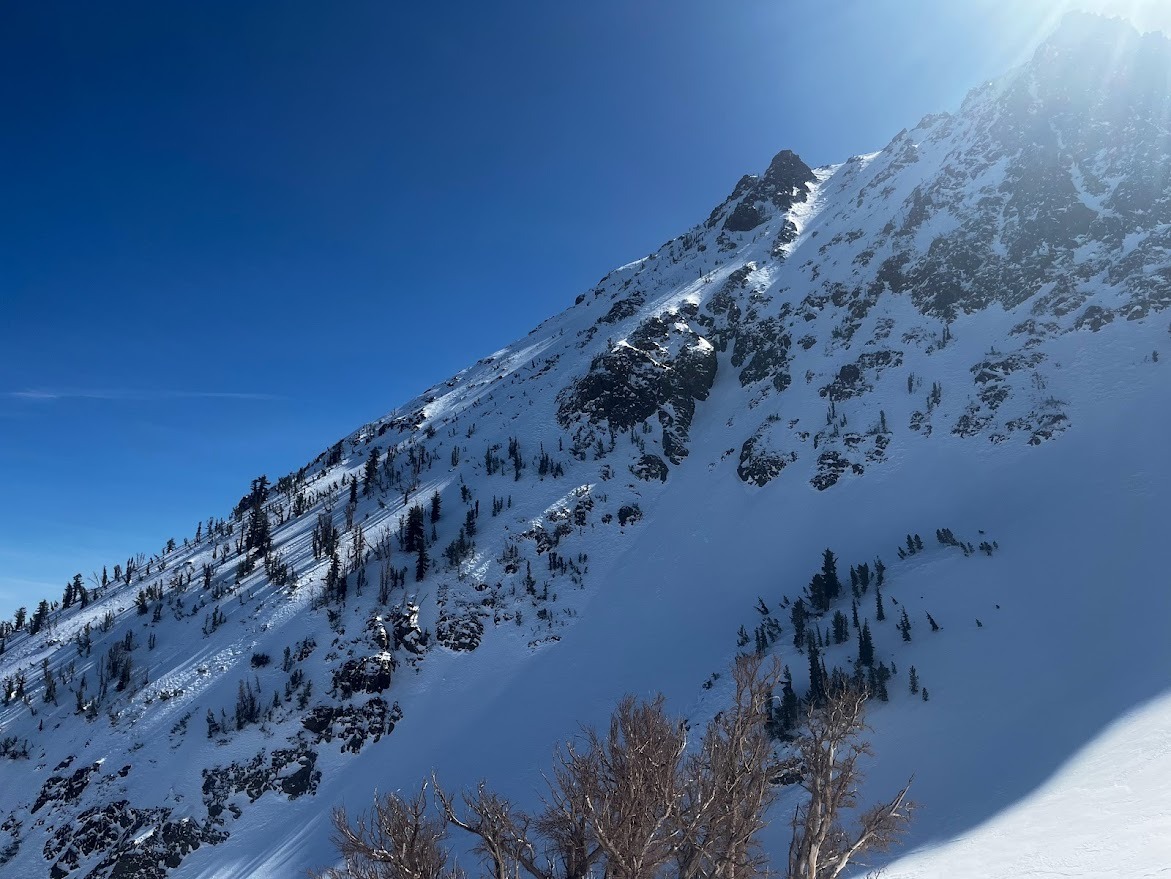
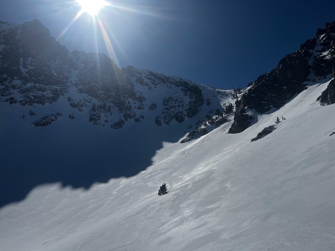
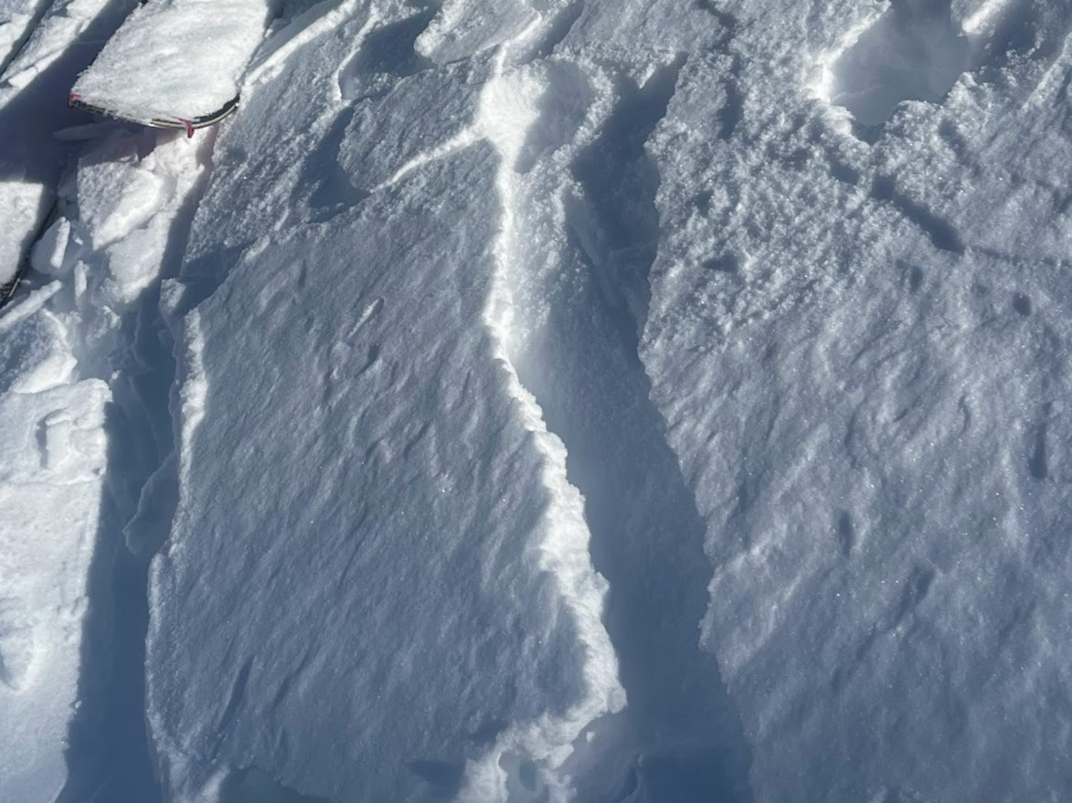
In the June Mountain backcountry the recent wind event did more blasting than it did loading. On most slopes ski and board tracks from the past week are still visible. Pockets of hard wind slab formed in the lee of N and NE terrain feautres near and above treeline. No crowns were visible and we saw no signs on instability on our tour.
Weather
- Air Temp
- 32
- Cloud Cover
- few
- Wind Loading
- previous
- Recent Snowfall
- trace
- Snow Avail For Transport
- none
Clear, with light and variable winds. Stayed reasonably cool despite not much wind and late February sun.
Snowpack
BTL: Total snow depth 4 to 6 feet (HS 150 to 200cm). Crusts on all aspects except due north and northeast in old-growth forest. Skis sank through most crusts, but only a little bit (10 -15cm) with soft supportable snow underneath. Boots sank to the top buckle (Boot pen 25cm). WInd slabs from recent wind event can be found on convex rolls at the very edge of steep forests, but taper quickly to thin wind crusts downslope.
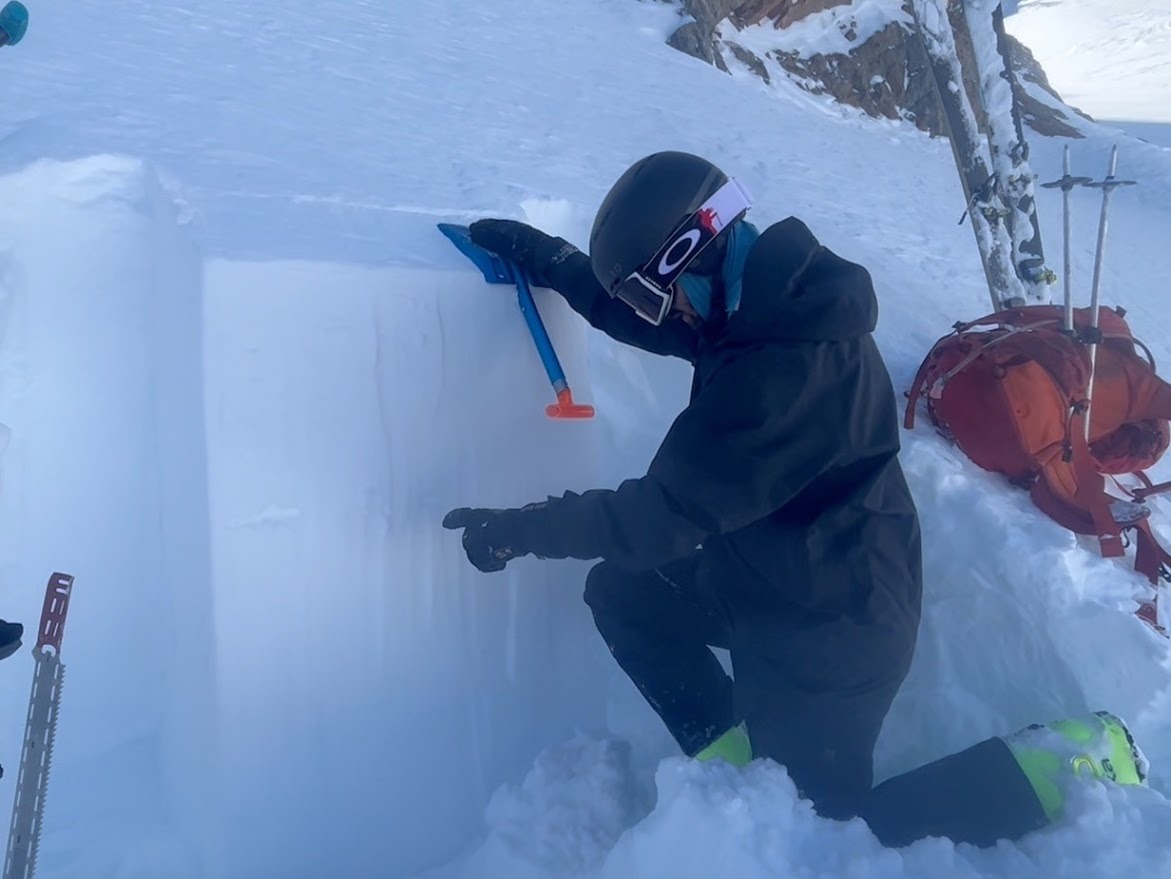
NTL: Total snow depth depends wind drifting and ranges from 2 to 8+ feet (HS: 50 to 400+ cm). There is a thin layer of small grained loose surface snow on mid-slope low angle northerlies. In steeper terrain the surface is either wind scoured, smooth hard wind slab, or supportable melt-freeze crust depending on aspect. Sctratchy conditions (boot or ski penetration 5cm). Layer of concern is rimed and rounding 1mm near-surface facets down 5 to 50 cm behind terrain features that promoted drifting on 2/26.