
Quick report
Our goals for today were to look at all elevation bands, see if we could find the top of the rain line, and monitor warming surfaces.
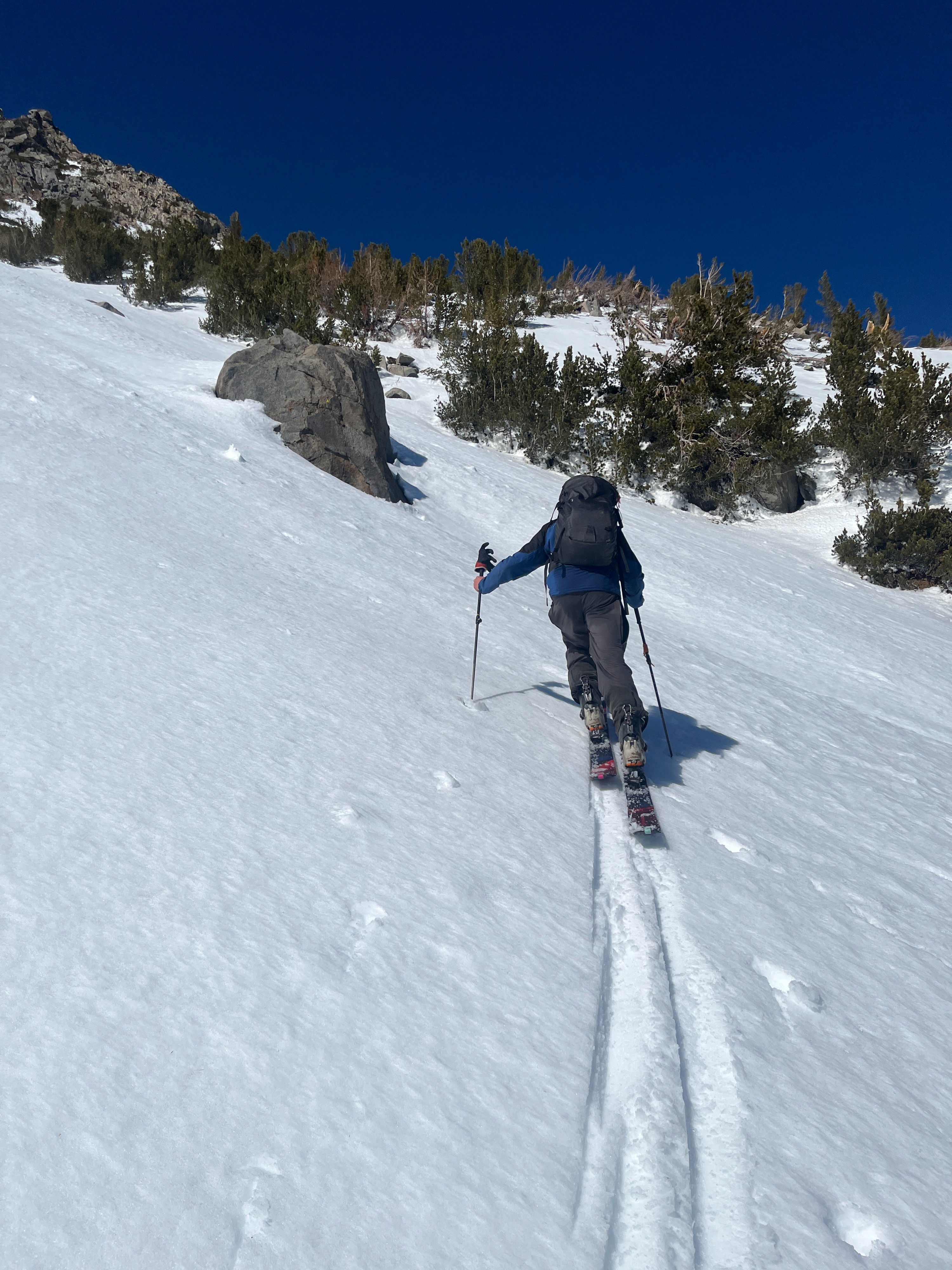
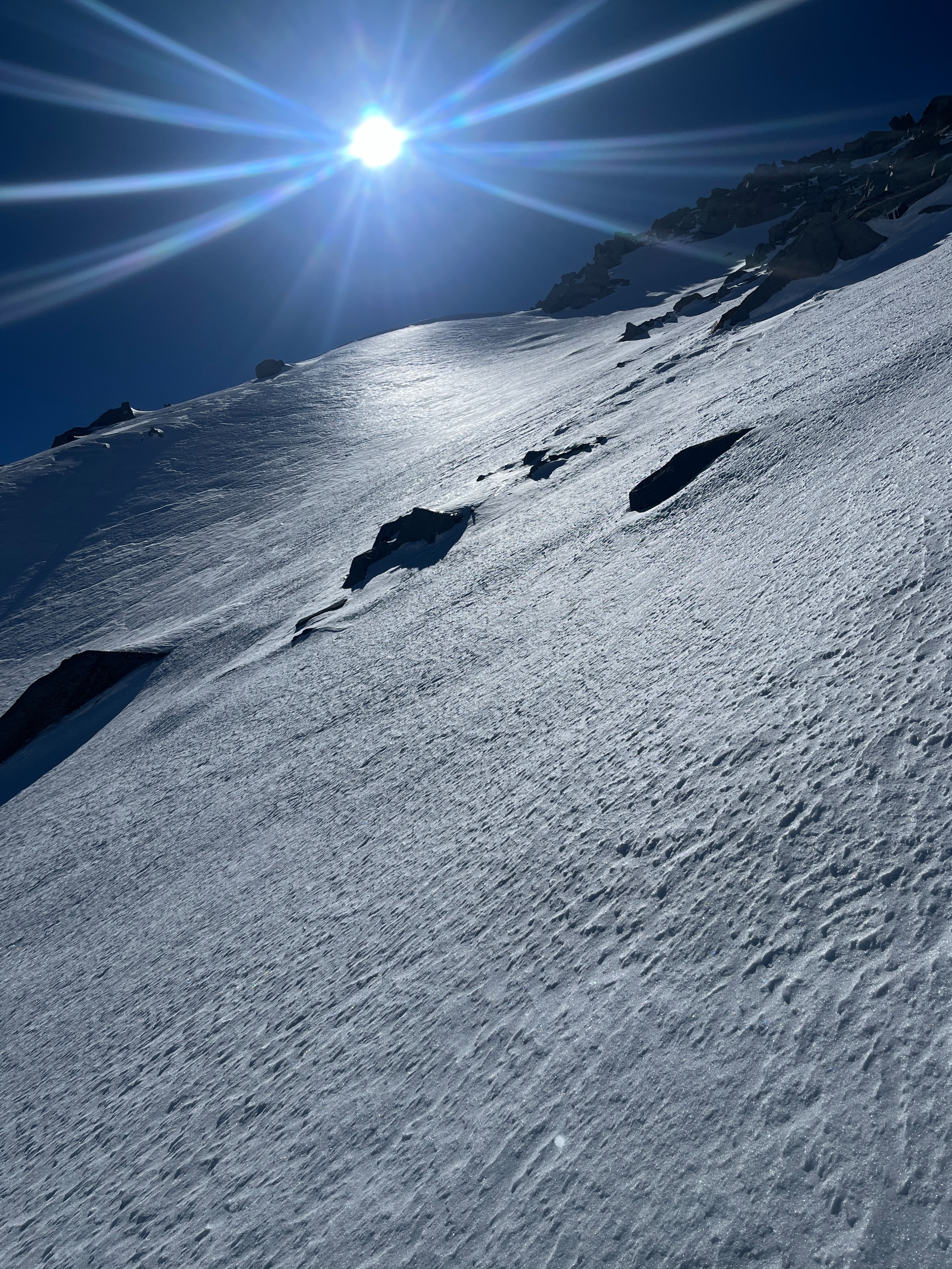
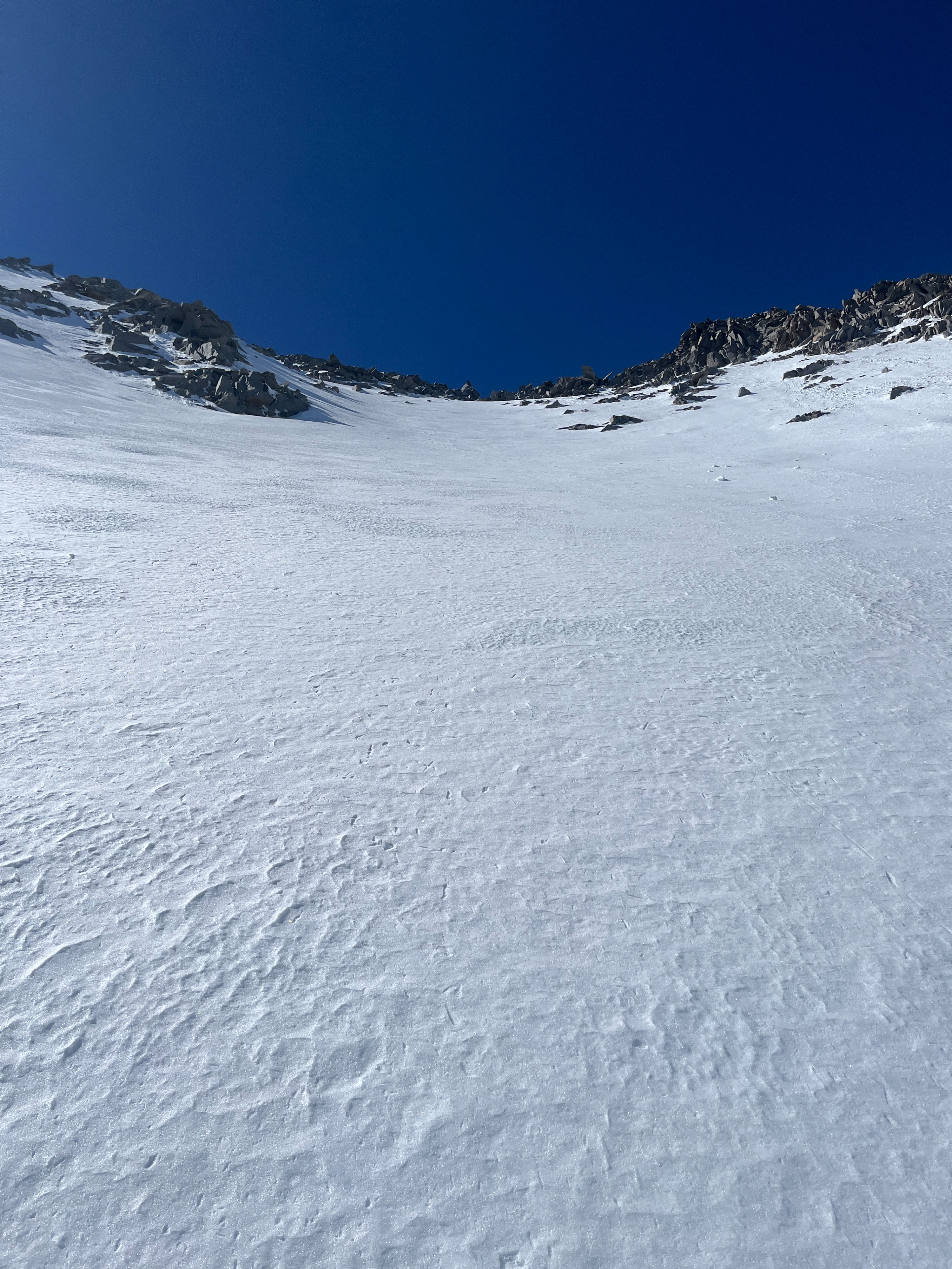
We found that surfaces had frozen hard overnight at all elevations, and were softening progressively from the top down in typical spring fashion. We were not able to find the top of the rain line, and it seems like in this area, the snow had been wet at least up to 12000 ft, even on north tilted terrain. Surfaces warmed and softened in the top several centimeters of the pack, but remained supportable underneath all day, even at low elevations in the afternoon. We observed no wet snow instabilities of note.
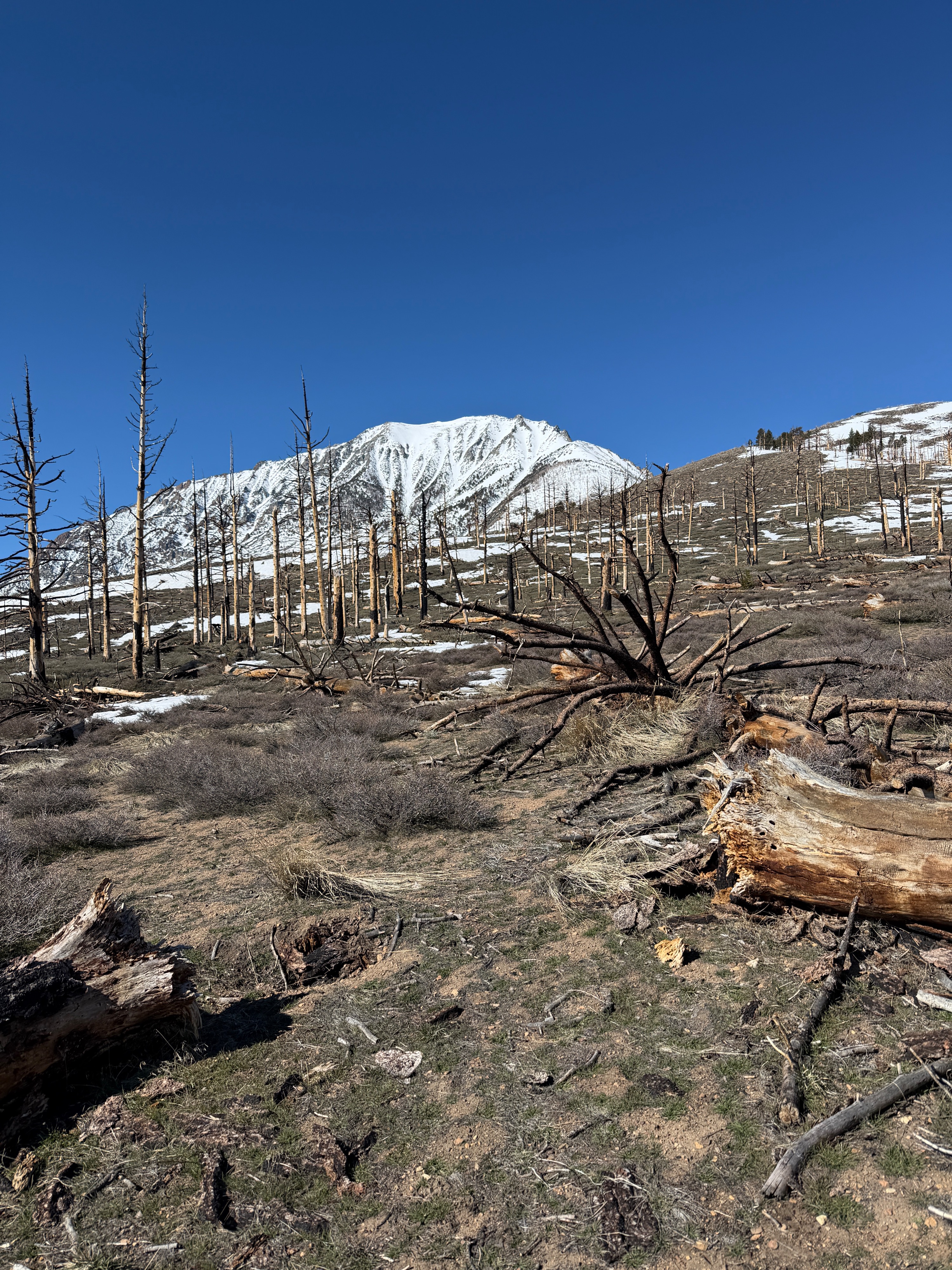
Access is tricky at the moment as the road is drifted in pretty low down, but the approach was mostly melted out.
Weather
- Air Temp
- 40
- Cloud Cover
- clear
- Wind Loading
- none
- Recent Snowfall
- None
- Snow Avail For Transport
- none
Sunny, warm, and calm.
Snowpack
- Dry ground at the car, and mostly dry approach to 8500 ft.
- Melt-freeze grains at all elevations
- A couple of centimeters of lightly drifted cold snow above 11000 ft.
- Pools of graupel at mid elevations where steep slopes benched briefly.
- No signs of instability to share
- North facing slopes above treeline remained knife hard. East warmed for a small part of the day.