
Quick report
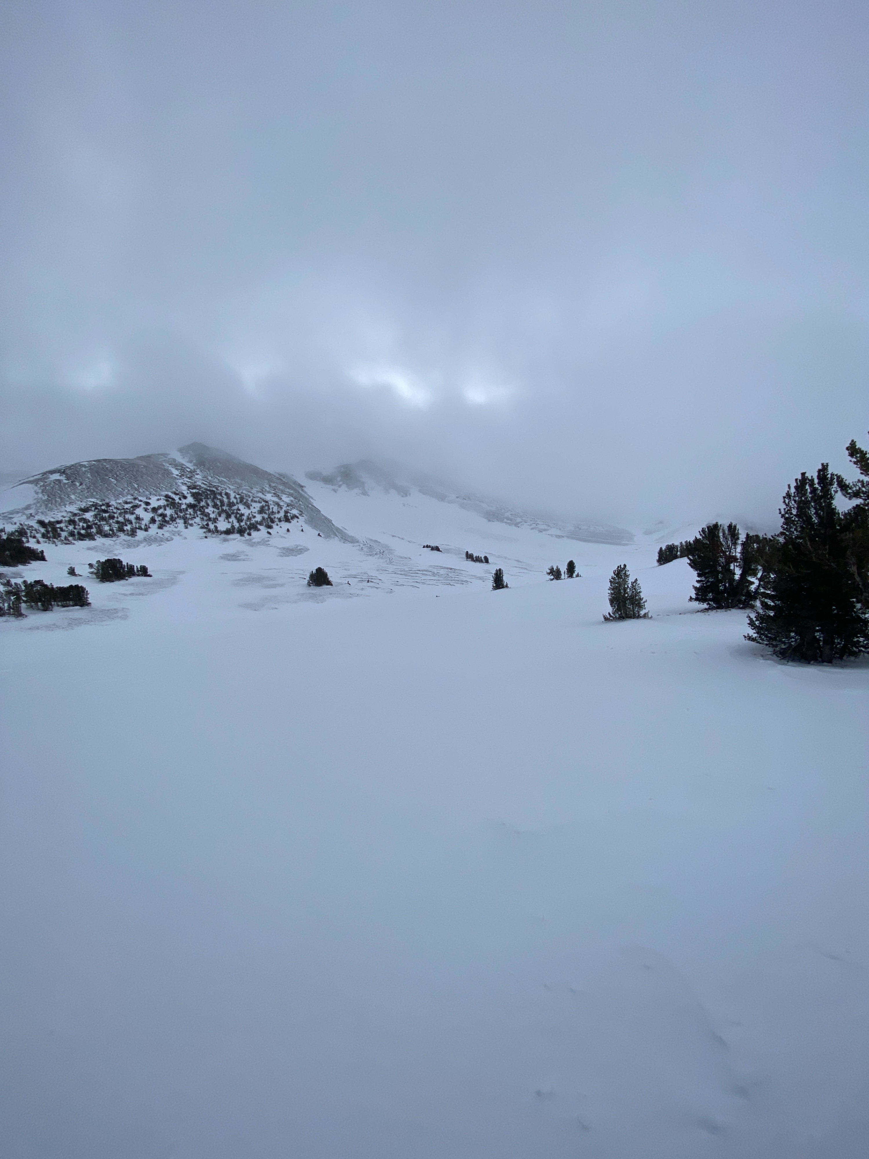
Our forecast area shows a narrow band of workable snow, mostly above 9,000ft. The warm temperatures from yesterday left a thin surface crust in sun-exposed areas around 9K. While touring up to Leavitt Lake, the snow began to change about halfway up, and around 10K we had a much colder snowpack. The wind event from a few days ago was visible across the landscape and within the snowpit. Coverage is looking thin and outside this area, almost nonexistent. The snow structure around Leavitt is similar to Sonora Pass however the pit results were quite different. No propagation in my extended column tests, showing a spatially variable snowpack and the lack of a rain crust around 10K.
Weather
- Air Temp
- 25
- Cloud Cover
- overcast
- Wind Loading
- none
- Recent Snowfall
- trace
- Snow Avail For Transport
- small smounts
cloudy skie, light snow, calm with light wind from the NW
Snowpack
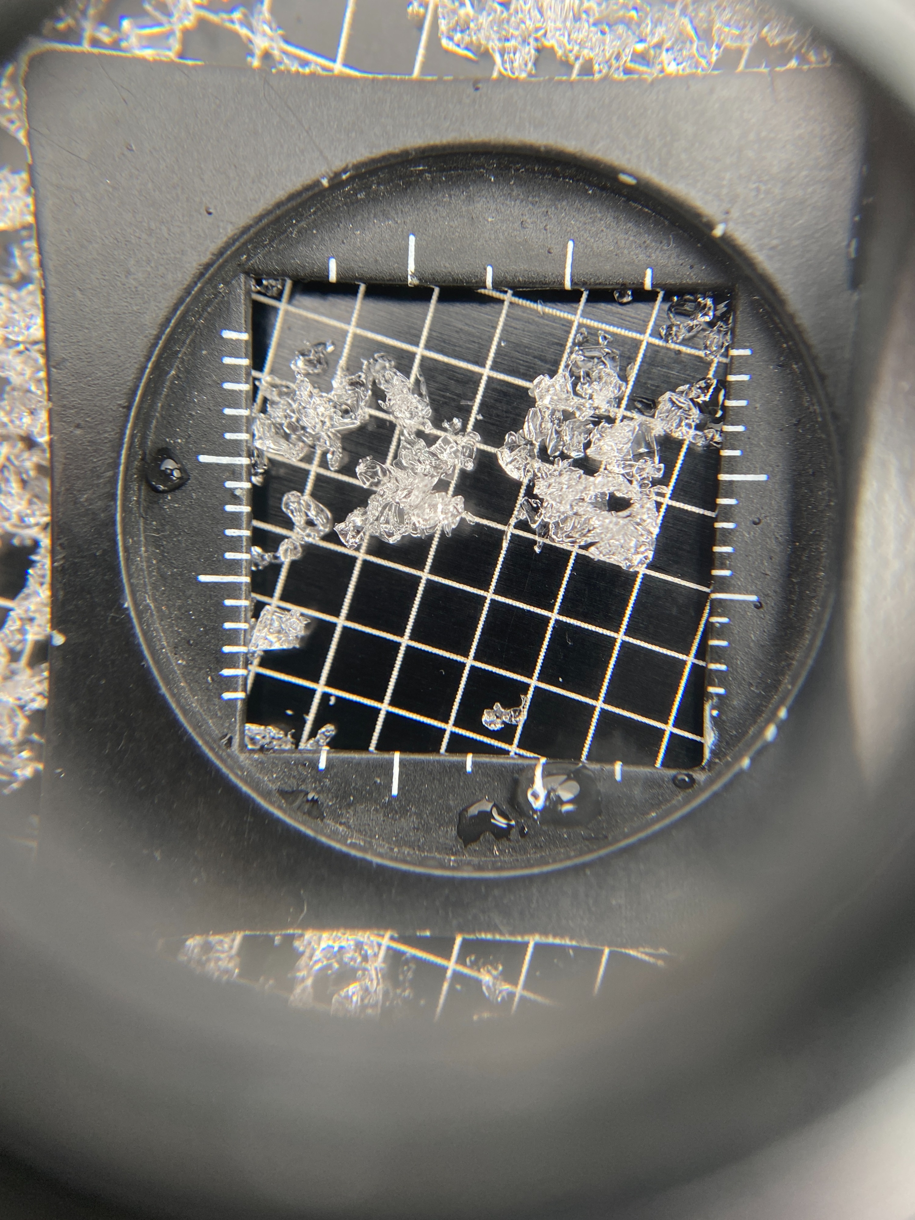
Our snowpack in the Leavitt Lake area has been exposed to wind and is shallow (45 cm in depth). The rain crust is not present around Leavitt, a 1 F wind slab was observed. This slab was not propagating in test results. ECTN 19 x2. We are seeing breaks in the snow but they are vertical in the wind slab. Taking a closer look at the basal facets, the grains are rounding and gaining strength. Still not an ideal snowpack structure yet the pack is gaining strength. Snowpit values: 45 cm of snow total / 20 cm of wind slab on top / 25 cm of facets / no rain crust. This is the difference between the pit near Voodoo Bowl and Leavitt, Voodoo had the rain crust leading to a much more sensitive snowpack and planer breaks below the crust, in the facets.