
Quick report
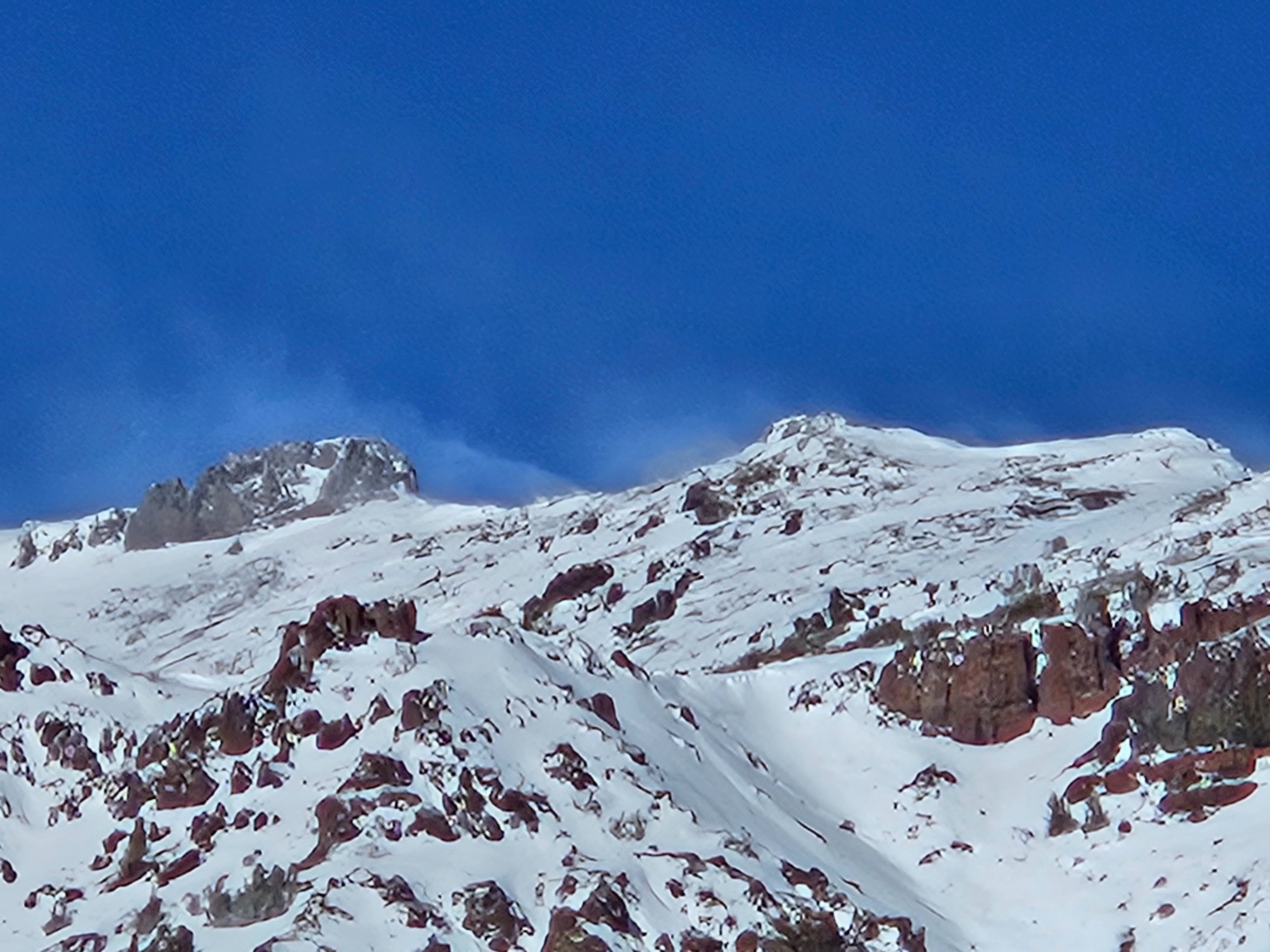
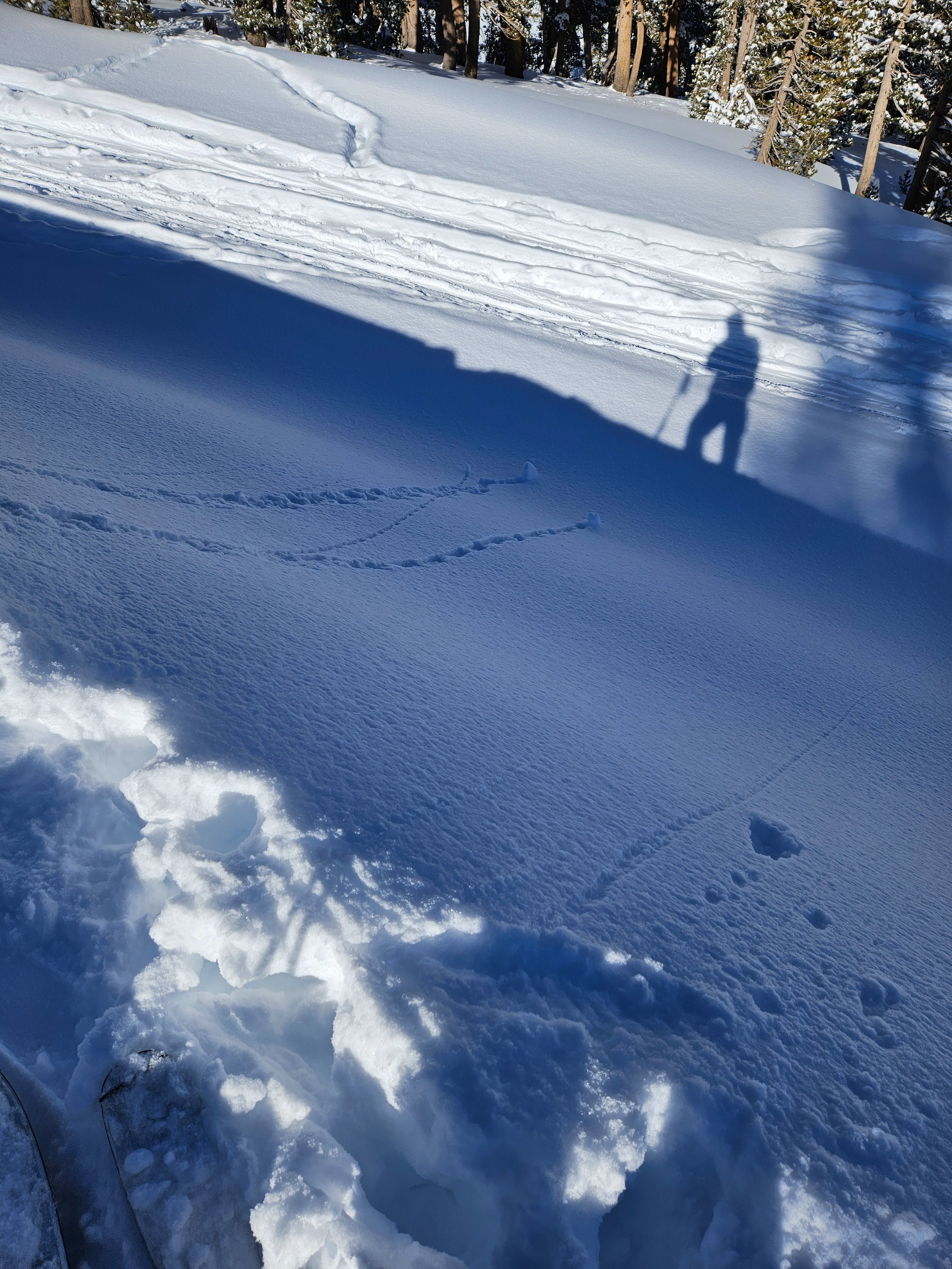
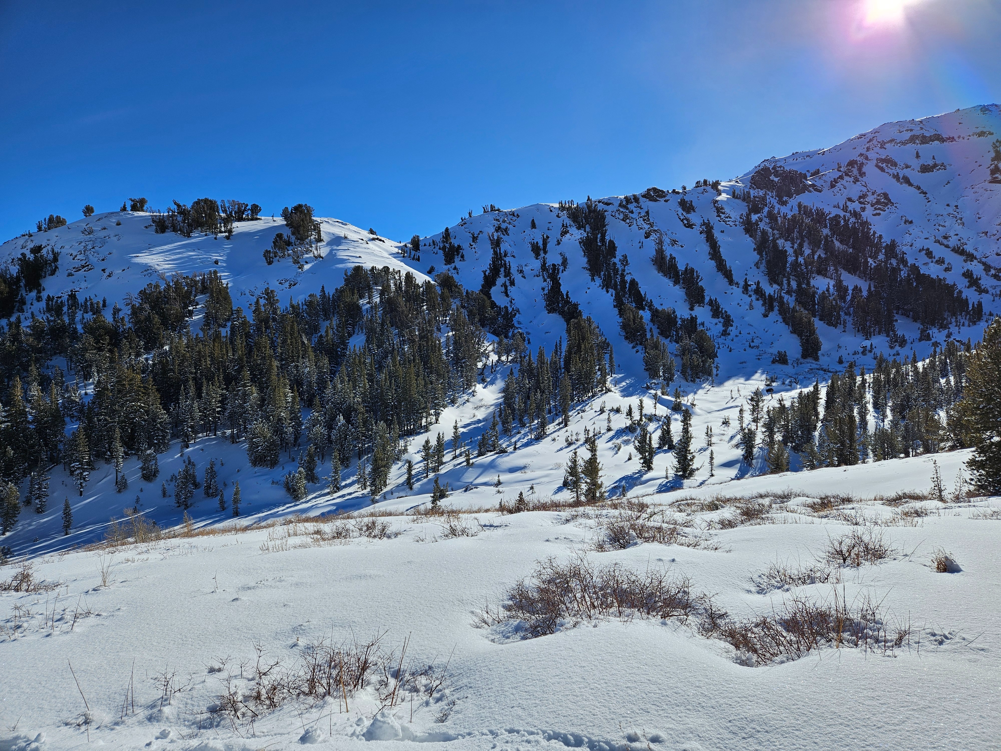
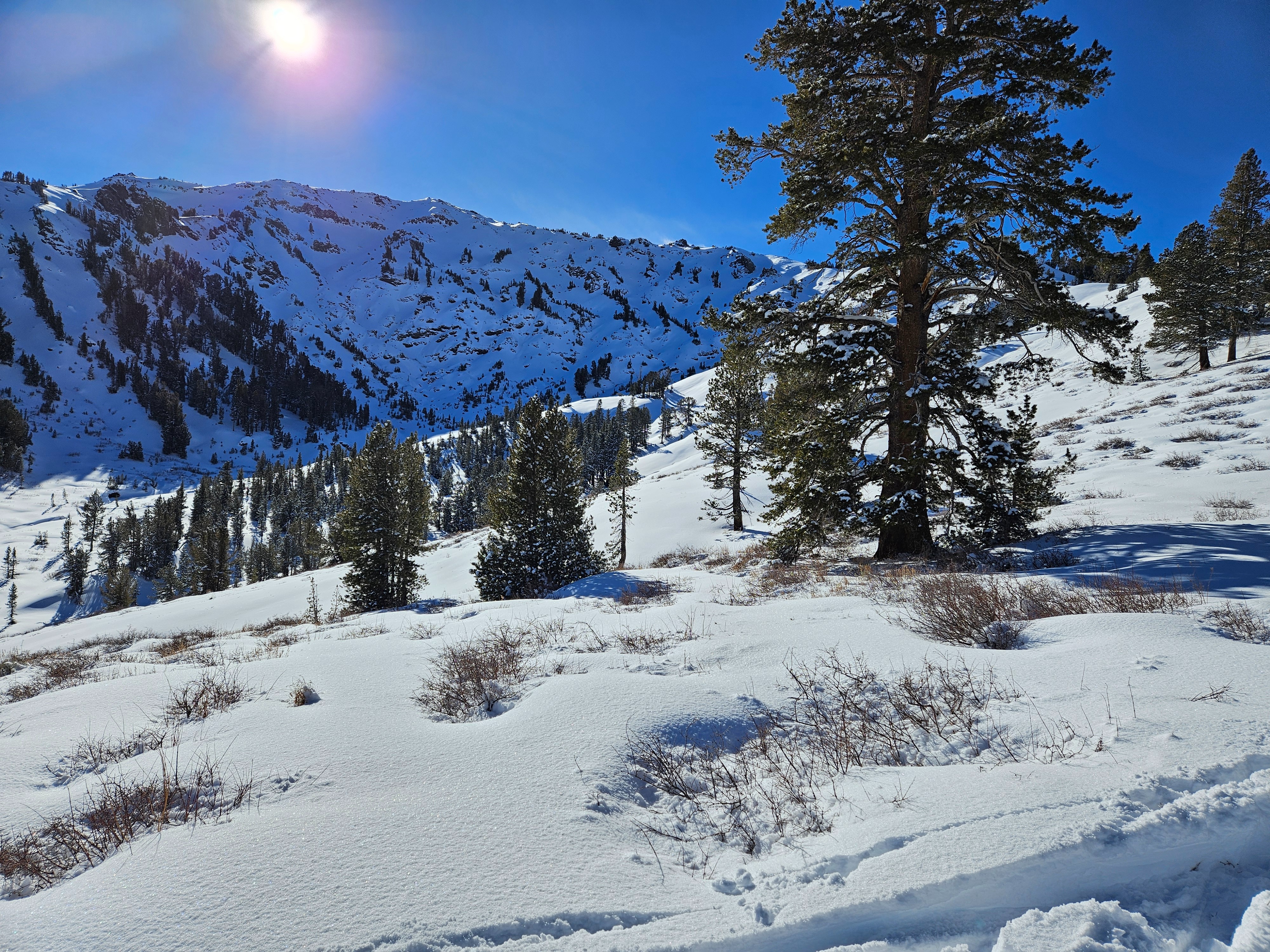
-Fresh snow we got in the past 24 has had its first day of sun and the top 2" is starting to get more cohesive. -A few sun rolls could be seen under exposed rock faces -The wind has switched directions from the original storm (SW) and can be seen scrubbing snow off the ridges. -Cross-loading can be seen in more open terrain, the trees are still full of deep powder.
Weather
- Air Temp
- 28
- Cloud Cover
- clear
- Wind Loading
- moderate
- Recent Snowfall
- 0
Blue sky day. Plenty of wind on the ridges coming from the NW, but everything else was mellow.
Snowpack
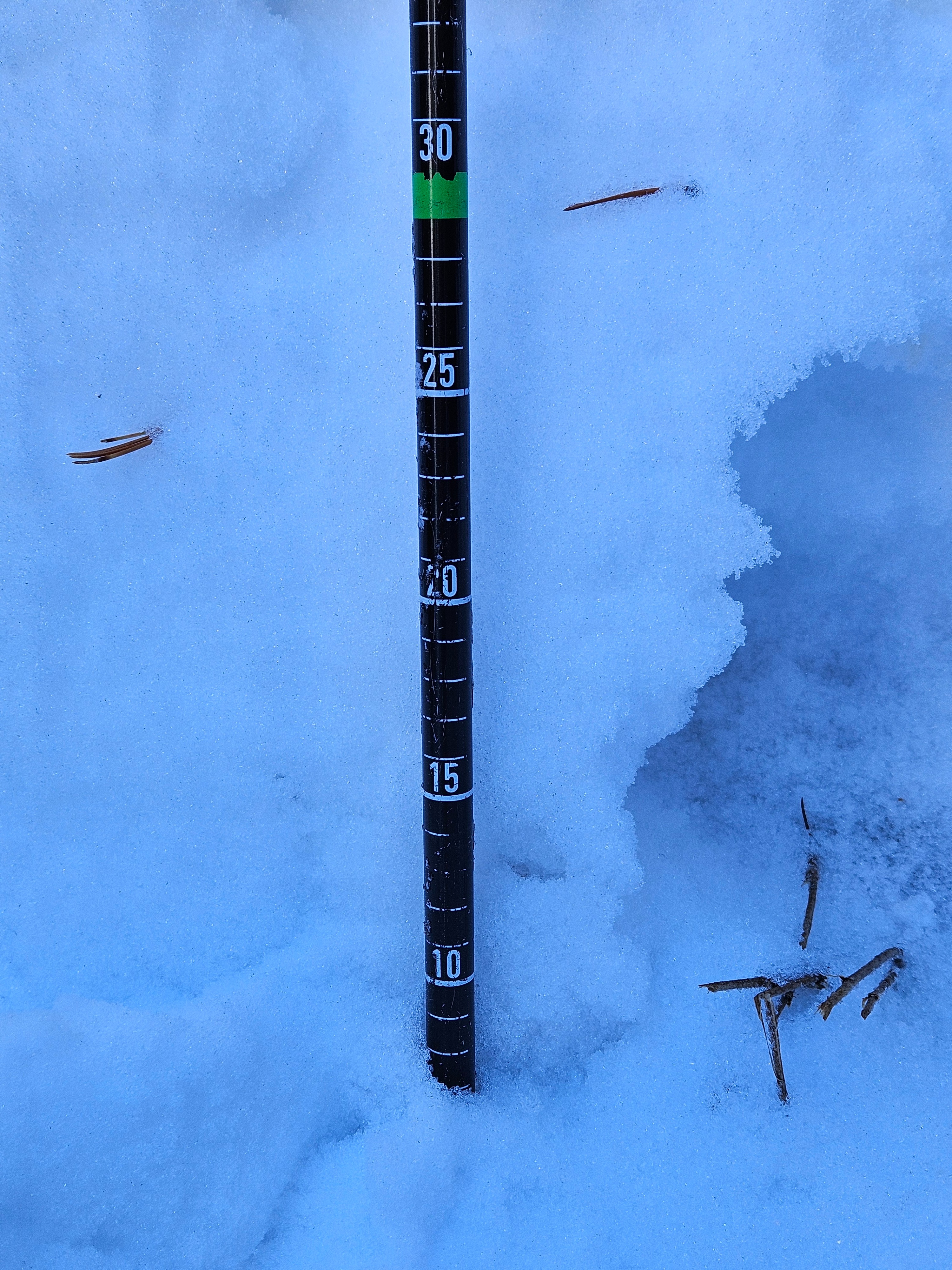
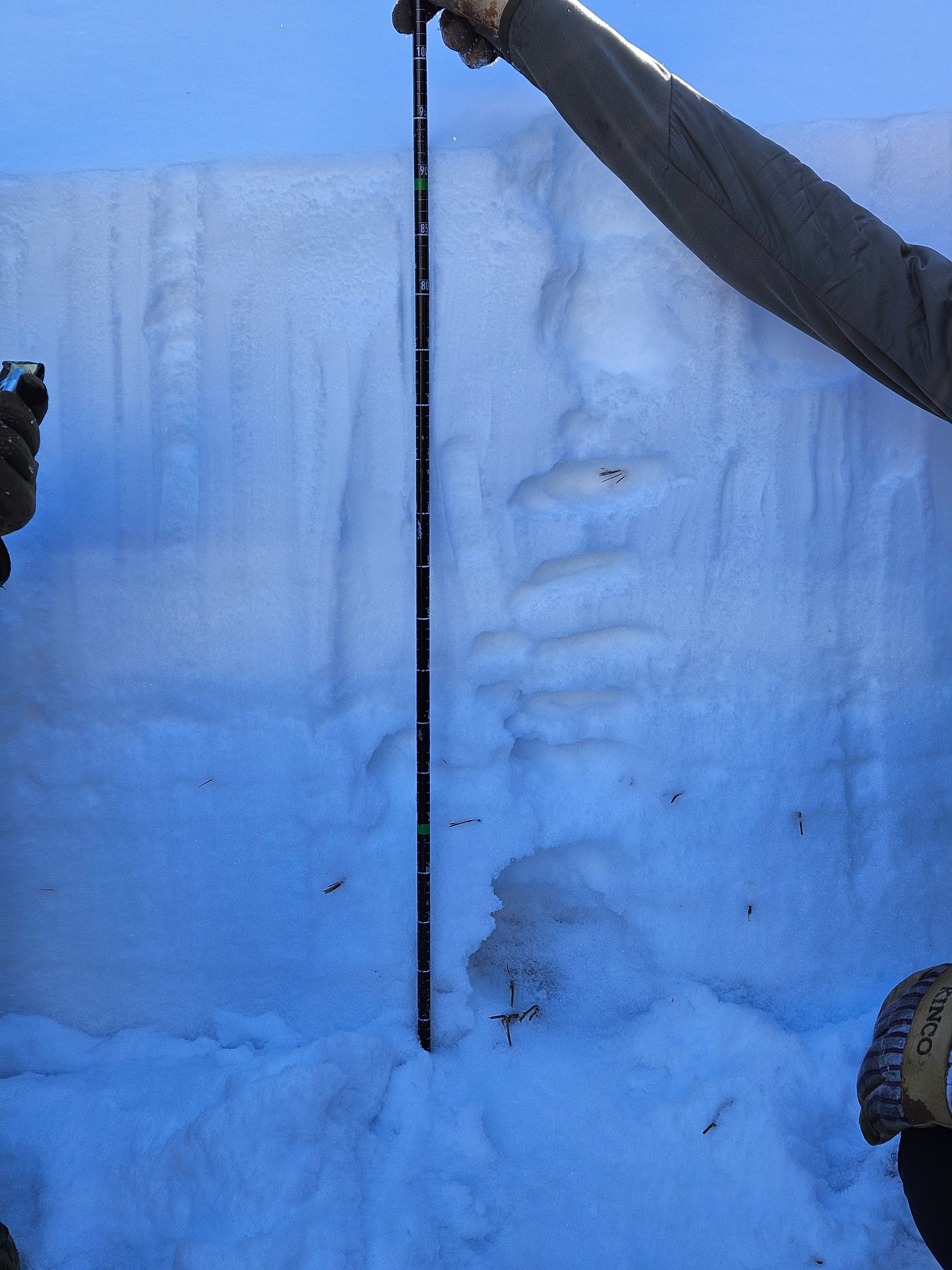
- Bottom Line: Multiple crusts low in the snow pack are supporting the fresh powder. They do fail on a compression test, but currently lack the energy to propagate. Dug a pit on a NNW facing aspect in the treeline on a 22 degree slope. Total snow depth at 92cm. Compression test scored 21 Q1 at 10cm from the ground on some very faceted sugar. Extended Column test was negative.
Avalanche
- Size
- D1
- Type
- L
- Aspect
- NE
- Trigger
- N
- Elevation
- 9400 ft
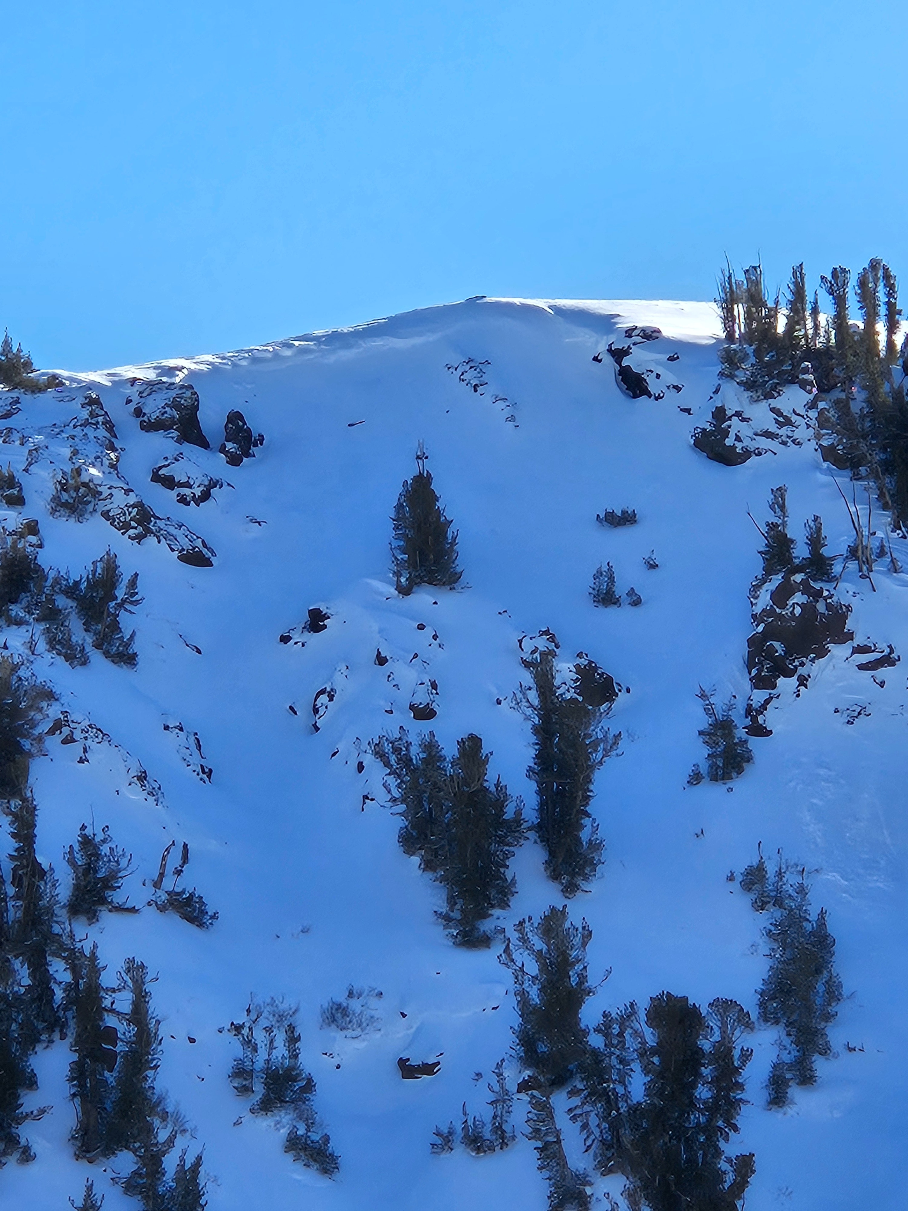
Dry loose avalanche spotted from the road. It had naturally triggered sometime in the last 24 hours and the debris fan had been brushed over with some cross-loading. North-East facing aspect somewhere between 35-40 degree slope. Maybe D1?