
Quick report
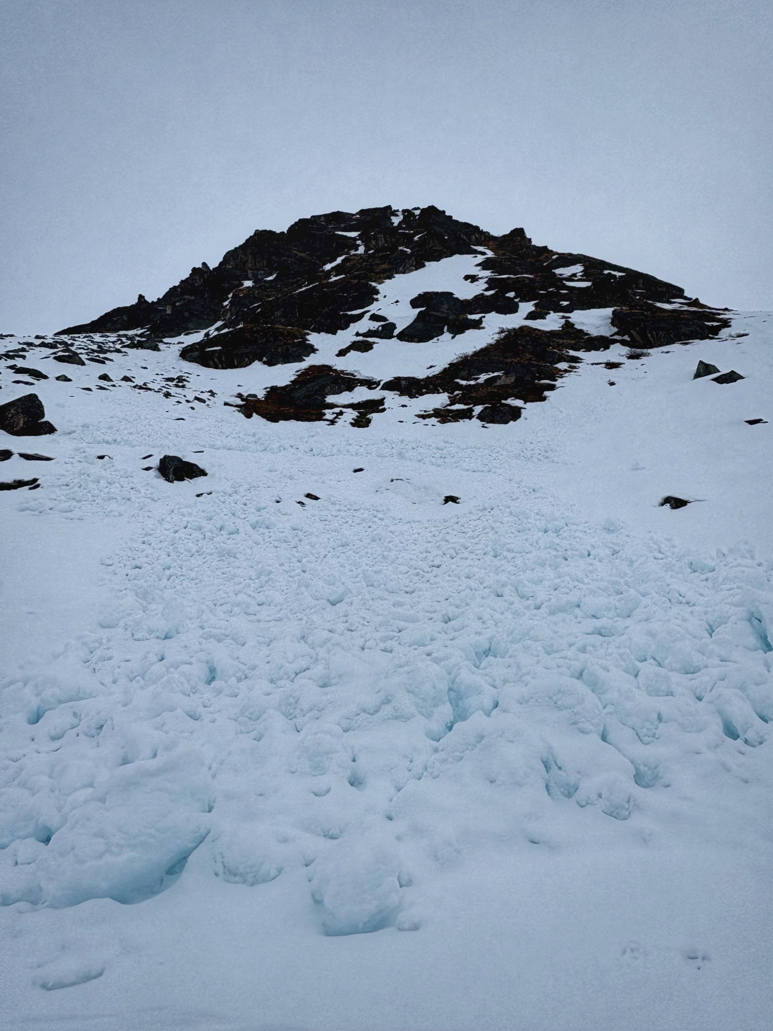
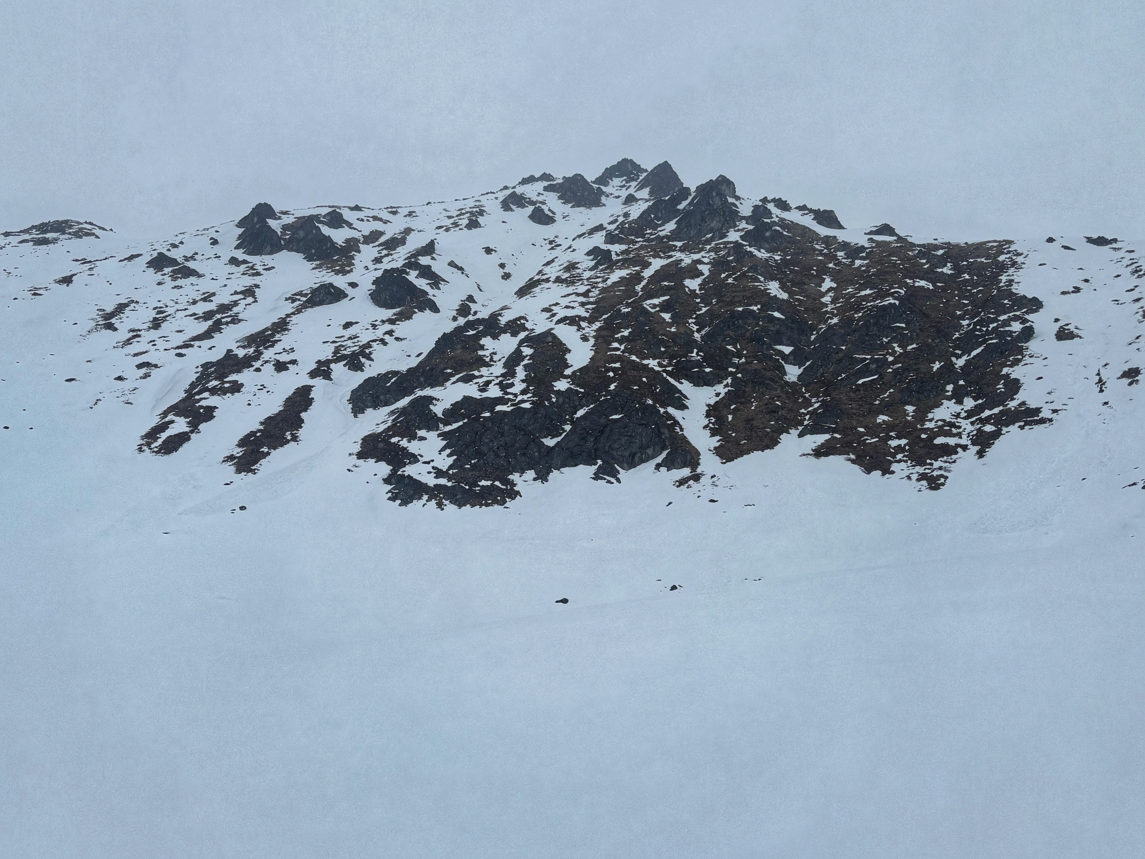
Hoping to work with the weather and get an idea of crust thickness and underlying structure, I did a brief circumnavigation of IM Bowl starting at the lot and traveling clockwise generally staying between 3500 and 4000'. I traveled on east, south, and west aspects and investigated some small northerly facing terrain features. The flat light and crusty snow made for easy but often awkward travel. As some others out there observed - it's a good time for crust skiing on skinny skis.
I got a pretty good grasp of the variable thickness and distribution of a stout melt/freeze crust formed by last week's warm-up followed by this cooler, unsettled weather (see snowpack notes). While there could be some good turns found on the smoother, untracked slopes, the flat light makes finding or navigating that terrain difficult. Overall stability is good while the snowpack is locked up by these cool temperatures. While it's possible you might be able to find some isolated areas of drifted snow at upper elevations, the hazard isn't likely to change until more new snow accumulates, or we get into another period of warming and sunny days.
No instabilities observed.Weather
- Air Temp
- 25
- Cloud Cover
- obscured
- Wind Loading
- light
- Rain Elevation
- 1000
- Recent Snowfall
- 3
- Snow Avail For Transport
- small smounts
Overcast or obscured skies and periods of light snow made for poor visibility. Temperatures were in the mid-20's and at times felt warmer due to greenhousing or cooler due to the wind. Overall winds remained light below ridgeline but a little wind transport was observed.
Snowpack
Below about 2000' the snowpack remains mostly isothermic with an unsupportable melt/freeze crust insulating moist polycrystals. At and above about 3000' the crust builds on some aspects to be thick and supportable, with a mix of frozen polycrystals or moist rounds or rounding facets.
Throughout my travels, I found about an inch of new snow lying on top of a 3-30cm crust consisting of frozen melt forms. This crust was thicker and stouter on proper south aspects and varied in thickness as the aspect ranged to the east and west, with the small northerly features I encountered holding the thinnest (3cm) breakable crust.
At the elevation I traveled through, this surface crust was insulating a stout mid-pack of moist rounds and rounding facets. In pits on east and south aspects, I did not find any percolation channels or signs that meltwater had made it into the lower snowpack during our last big warm-up. In a quick hand pit on one small northerly feature I encountered, the thin crust was lying on top of drier, small grained facets.
I observed some light wind transport and drifting at a few more exposed parts of my walk, but nowhere that the snow had stiffened considerably or drifted more than 3'' deep.
Overall stability is good with these cool temps and unsettled weather keeping things locked up. While you might have better luck finding some properly wind drifted snow at the highest elevations of the forecast area, things aren't likely to become really unstable until we get appreciable accumulation or another drastic warm-up.