
Quick report
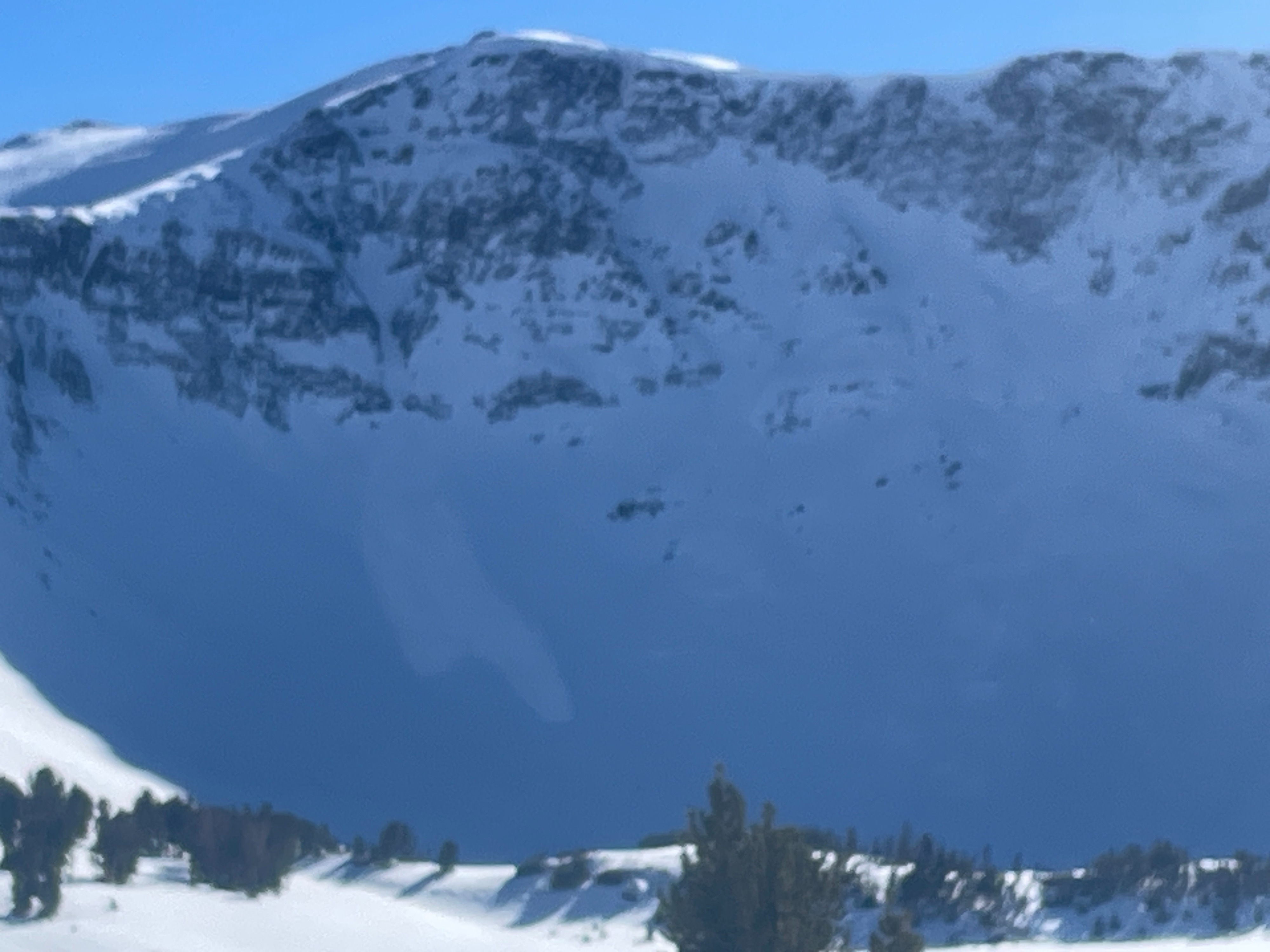
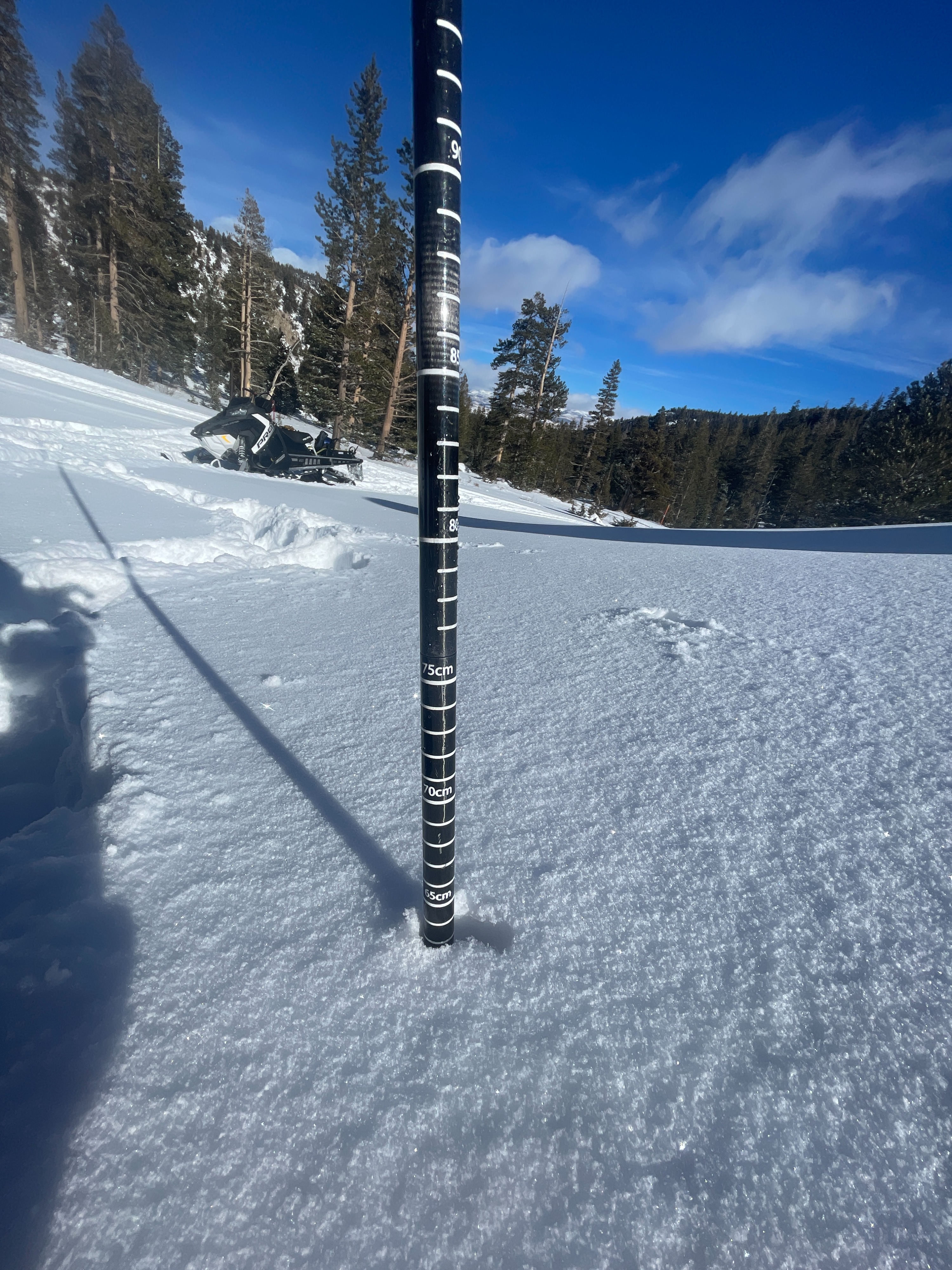
Multiple small avalanches were observed on steeper north facing slopes. Less than forecasted snow was observed on most terrain from January 6th storm. Snow that did fall and wasn't effected by winds is very light density, mostly in N facing tree'd terrain above 9k'. South facing slopes should still be avoided as coverage is quite thin and just enough to get you in trouble.
Weather
- Air Temp
- COLD!
- Cloud Cover
- clear
- Recent Snowfall
- 10-30
Cold clear, NE wind
Snowpack
10-30cm's of new snow were observed above 9k'. North aspects in sheltered areas in the trees seemed to get the most snow in yesterdays/last nights storm. Exposed wind ward zones NTL and ATL showed the effects of the storms intense winds. Snow depths varied accordingly.
Avalanche
Signs of recent avalanches observed from the past 24 hours during this storm. D1.5 Dry Loose, D1 Wind Slab and small propagating avalanche (possible Persistent Slab) in steeper terrain were visible but not acccessible today.