
Quick report
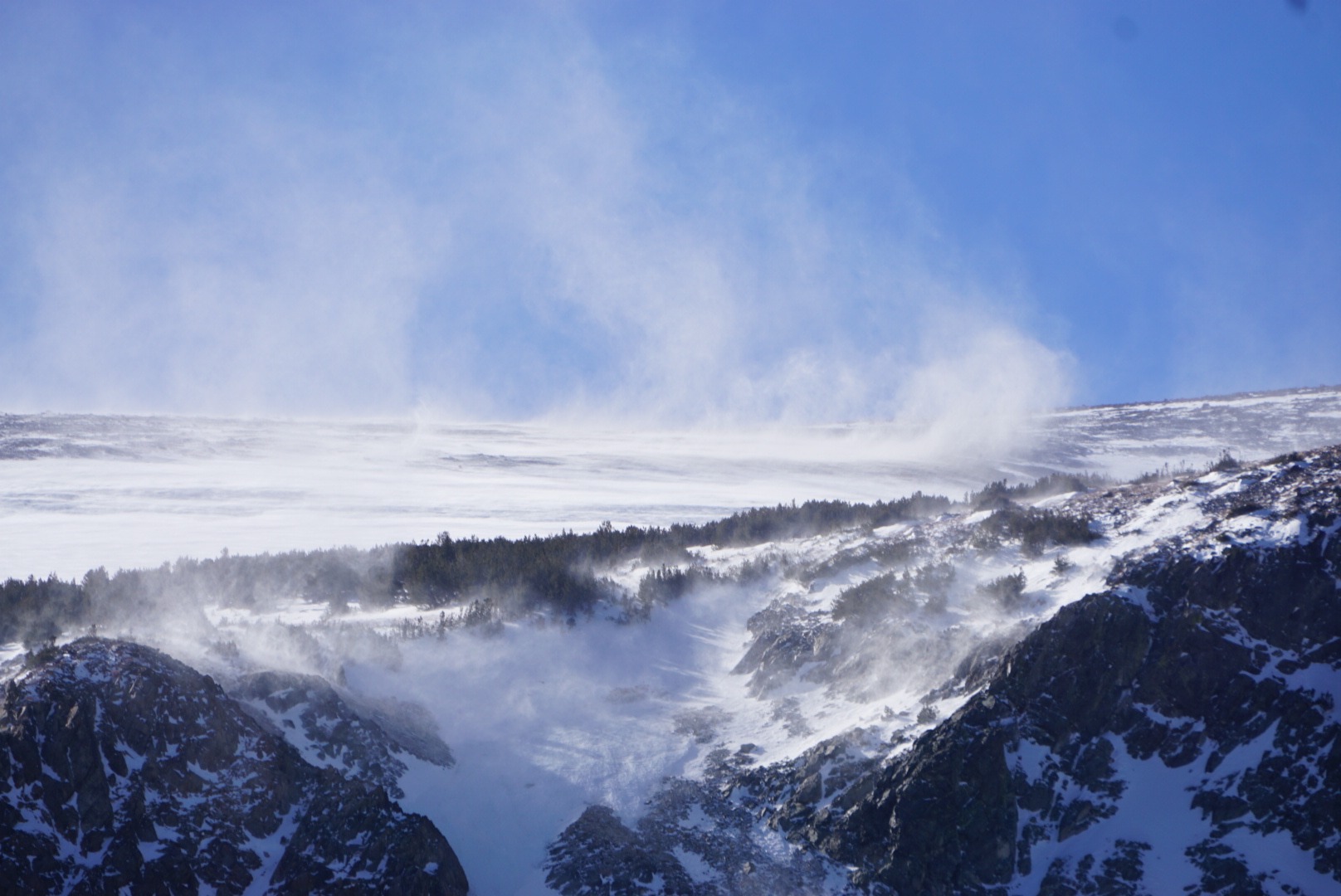
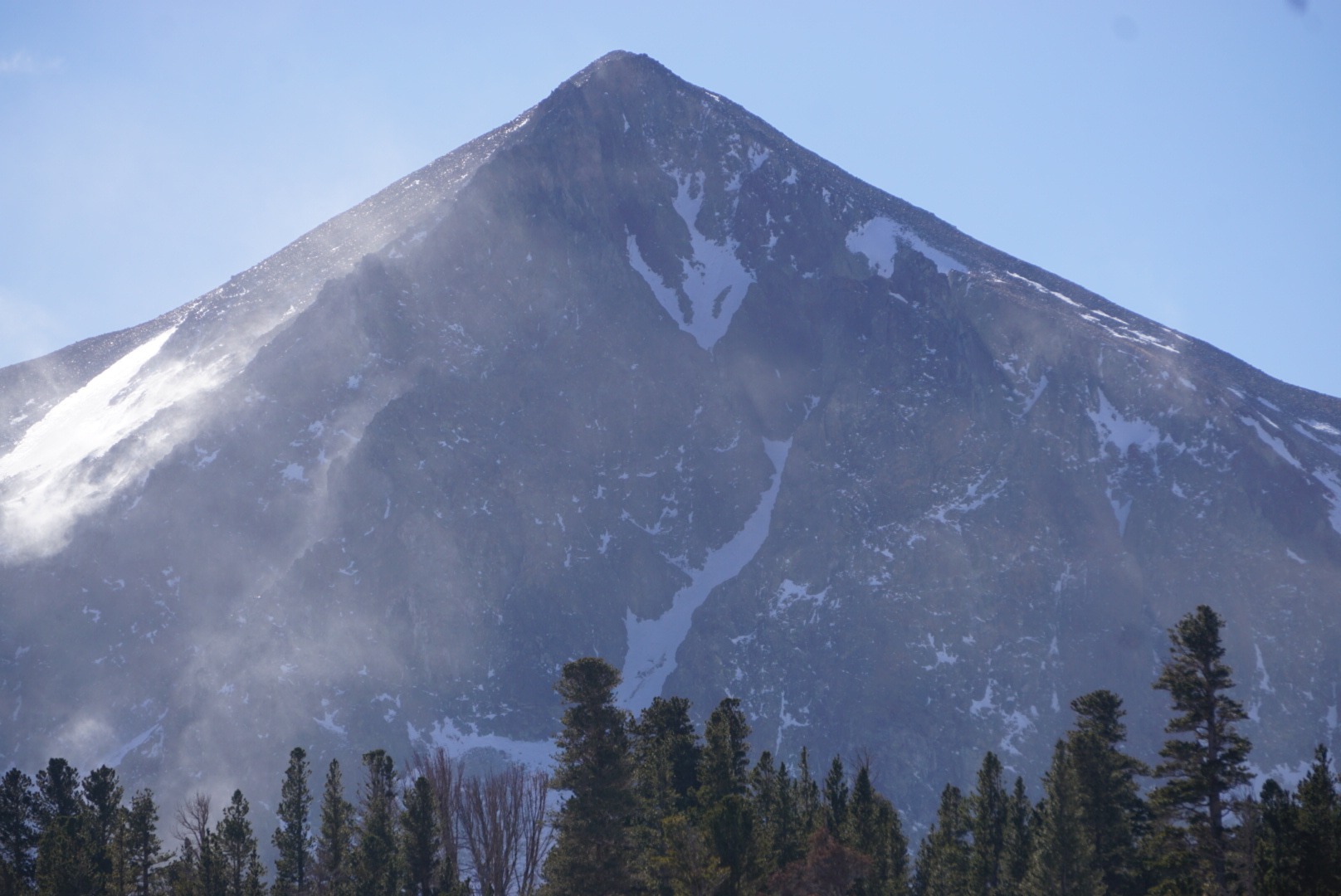
Today, I took a short hike into the Tamarack Lakes basin to see the recent weather's effects on the snowpack. It provided a great vantage point for the east side of Crater Crest and surrounding peaks. I trekked in hiking boots since snow coverage remains minimal. Leavitt Lake Snotel recorded 7 inches of new snowfall on the morning of 12/7. If 7 inches fell in the crater crest area, it was not evident that strong winds transported snow, scouring exposed terrain and depositing it in wind-sheltered locations such as lee slopes, dense tree coverage, and creek beds.
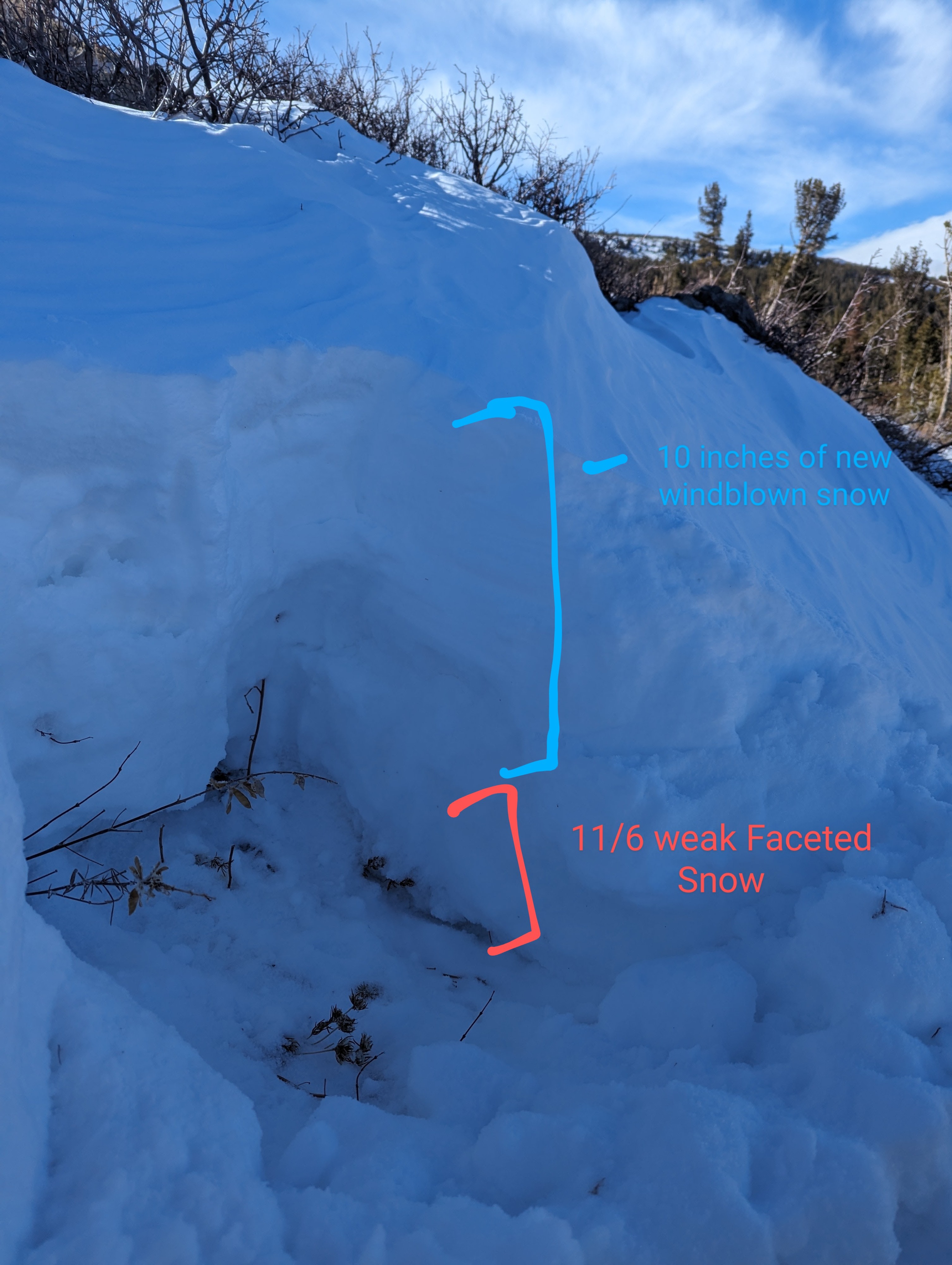
In some locations, the new wind-blown snow has formed slabs on top of the snow from 11/6 which has faceted and become a surgery-weak layer. This is noteworthy as a hard slab avalanche is possible with this snowpack structure. Although much of the snowpack is not connected, isolated pockets of instability may exist and this setup will be at the front of our minds when we get more snow.
Weather
- Air Temp
- 45
- Cloud Cover
- few
- Wind Loading
- intense
- Recent Snowfall
- 10
- Snow Avail For Transport
- large amounts
Sunny day with a few lenticuler clouds in the sky. Winds were extreme from the SW. Strong gusts made for a blustery day.
Snowpack
There is minimal snowpack, some areas are still bare Earth while wind-sheltered locations have collected thigh-deep snow drifts. There are few opportunities to link any turns. Shallow snowpack and thin coverage have kept us in hiking boots.