
Quick report
- Cracking
- isolated
Winds were observed moderately transporting snow at mid and upper elevations today. Luckily, wind gusts in the 20s were not enough to destroy our meager snowpack too much; as of the afternoon, some smooth riding surfaces still remained, even on more windward aspects. Keep in mind, that this does mean that there is still some snow available for transport. Should winds remain sustained at moderate or gusting strong (more than 25 mph) today into tomorrow, expect wind slabs to increase in their distribution from more isolated to specific leeward and cross-loaded terrain features and for their reactivity to go from stubborn to more reactive heading into the weekend.
The good news: travel and snowpack tests today indicated that our existing snowpack structure is unlikely to be overwhelmed by this most recent loading event, and we have a good amount of strength out there thanks to weeks of settled weather and a stiff and stout midpack. If you were to find a wind slab, it would be most likely to be shallow and in the upper snowpack at the boundary where new wind slabs are over firm, old wind slabs with some weak, faceted grains in between. However, do not rule out the possibility that in the right spot in steep, rocky terrain where the snowpack is particularly shallow and weak, that a wind slab could break deeper and wider than you expect.
On crossloaded slopes, I was able to get some isolated cracking, which increased in reactivity and frequency as the afternoon went on. None of these cracks shot or had much energy to them, but they consistently failed quite shallow at the new wind slab/old, stiff wind slab interface, about 3-6" down. I was not able to trigger wind slabs on test slopes in this location, despite finding plenty of recent loading.
Weather
- Air Temp
- 6
- Cloud Cover
- few
- Wind Loading
- moderate
- Rain Elevation
- N/O
- Recent Snowfall
- NO
- Snow Avail For Transport
- small smounts
The day started with broken skies, flat light and light gusting moderate Easterly winds at mid elevations. Wind transport was moderate and intermittent. I did not see flagging at ridgetops but as I was beneath the more E ridge of 4068, I saw downslope drifting snow and some freshly formed, small cornices. There was enough wind moving snow to cover my tracks between lap one and lap two (see snowpack for more information). By 1500, the skies had cleared to a few wispy clouds and winds seemed to set down, at least around the Fishhook Lot (mid elevations). Hatch Peak weather station was still registering consistent winds in the teens with gusts in the 20s, plenty to move snow.
Snowpack
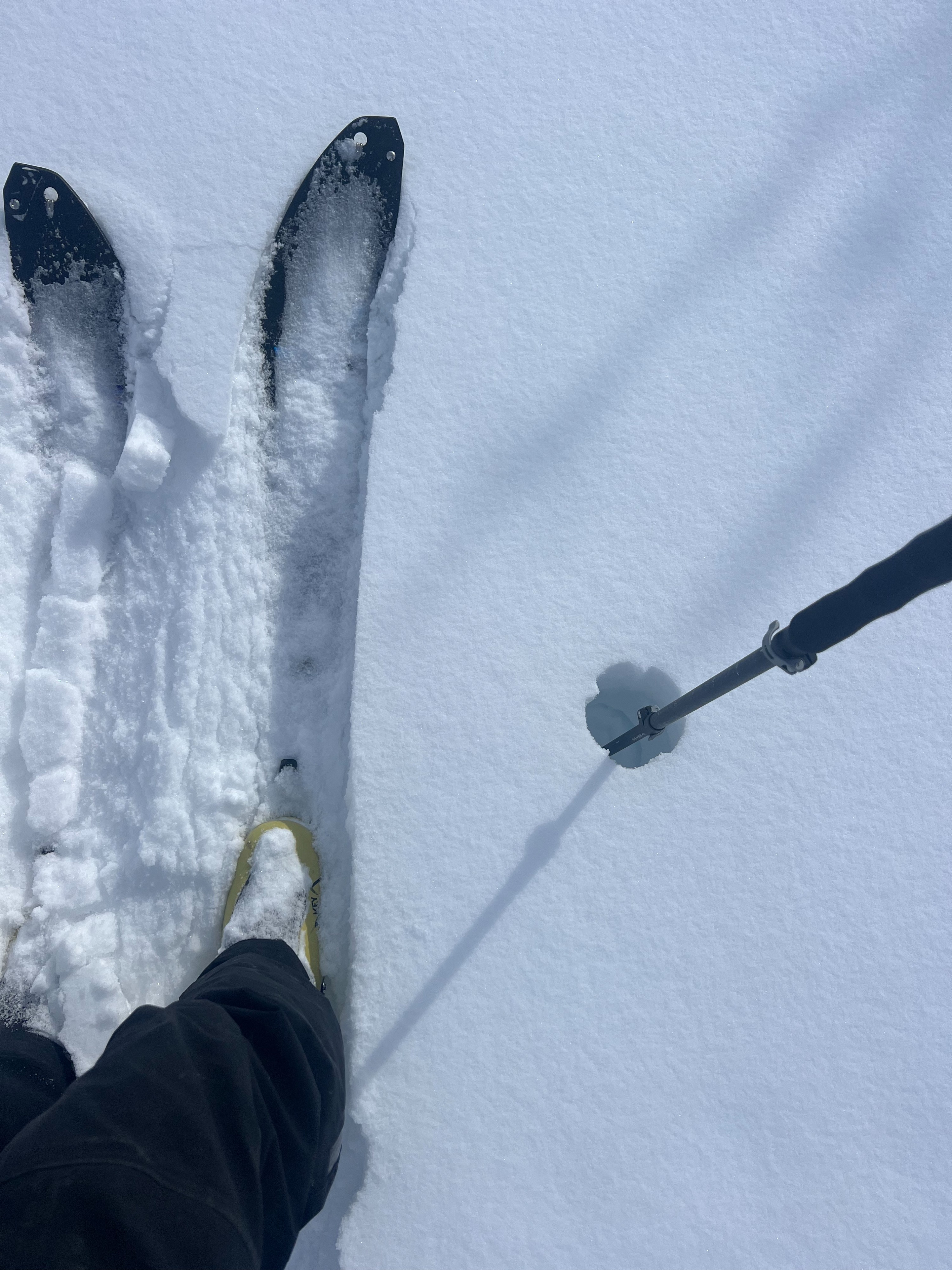
Snow surfaces were variable. In the lower elevations at creek level, the snowpack was loose and new snow over faceted snow was imperceptable. Pole tests were easy to the ground with no perceptible hardness boundaries. As I started uptracking, the more "dust on crust" (except supportable wind board) combo became more the norm, with the occasional deep, unreactive wind drift.
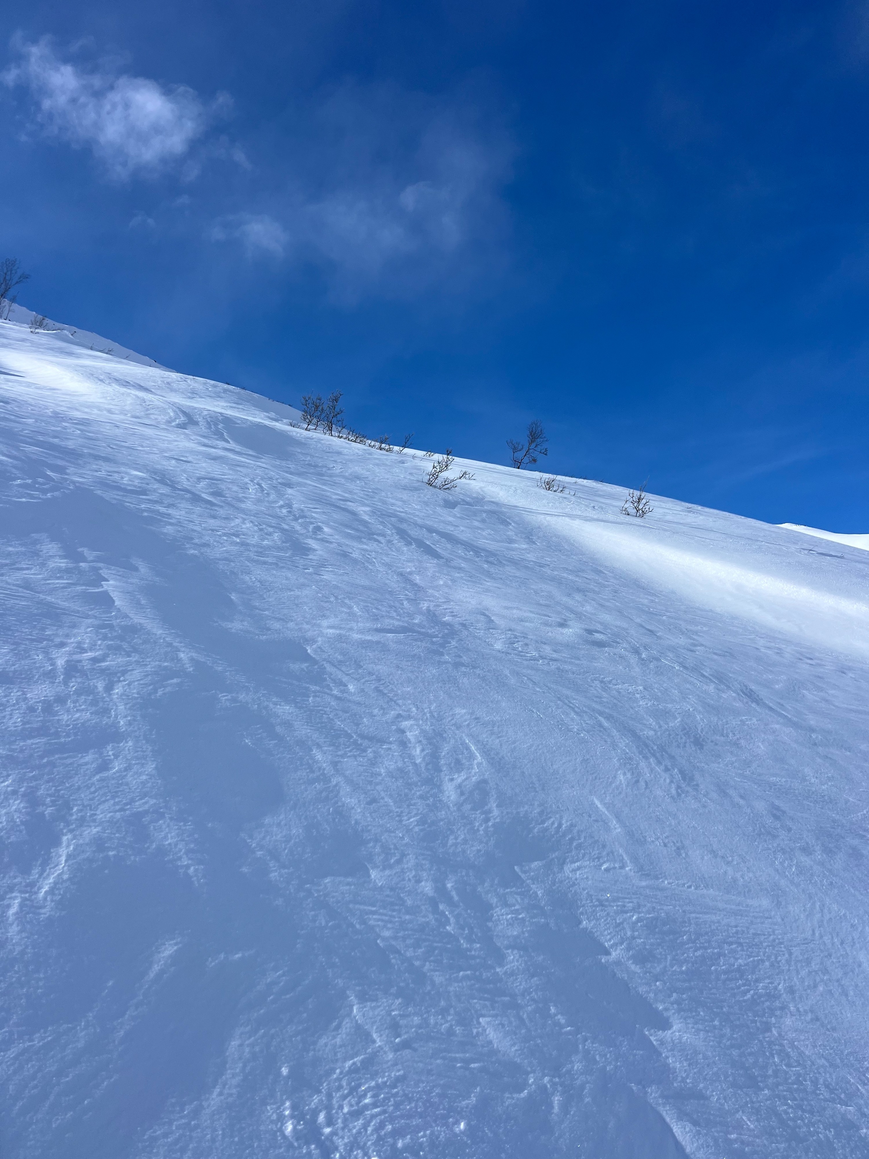
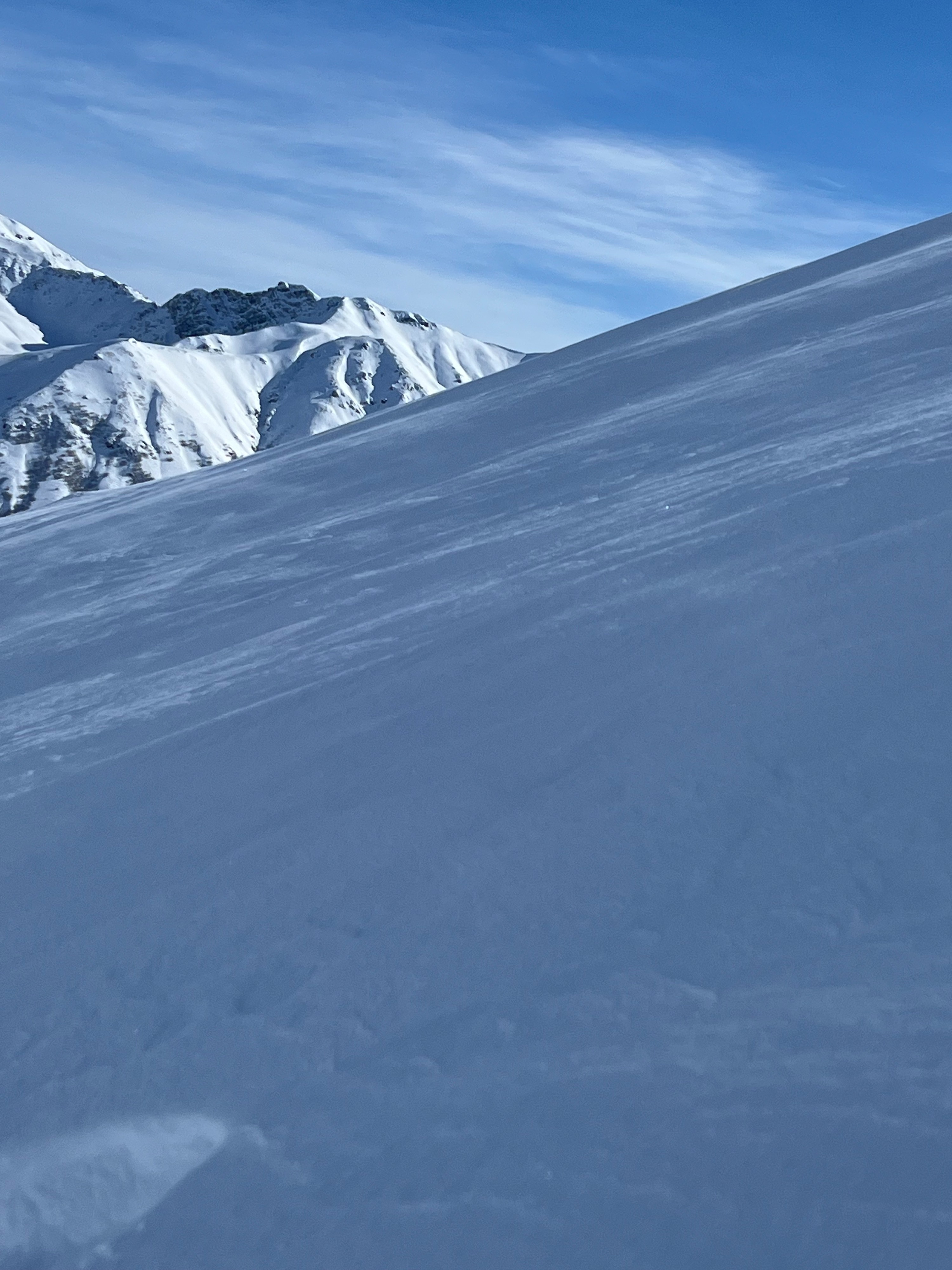
Signs of wind effect on the snow surface on 4068's mid-elevation Northerly aspect was rampant with everything from scouring, sastrugi, to wind-kissed drifts. Most freshly formed wind slabs were still fist-hard and unreactive.
A snowpit dug at ~3,000 on NNE gully at 27* had no propagation with ECTN24 15cm down at the new wind slab/old wind slab margin. Further inspection revealed some small, .25 to .5mm facets above 1F to 4F old wind slab below this plane.
We still have loose, unsupportive depth hoar and basal facets at the middle of the snowpack. However, the midpack in this area was a stout 1F to P hard slab of 50-70cms.
Avalanche
No new avalanches observed.