

Quick report
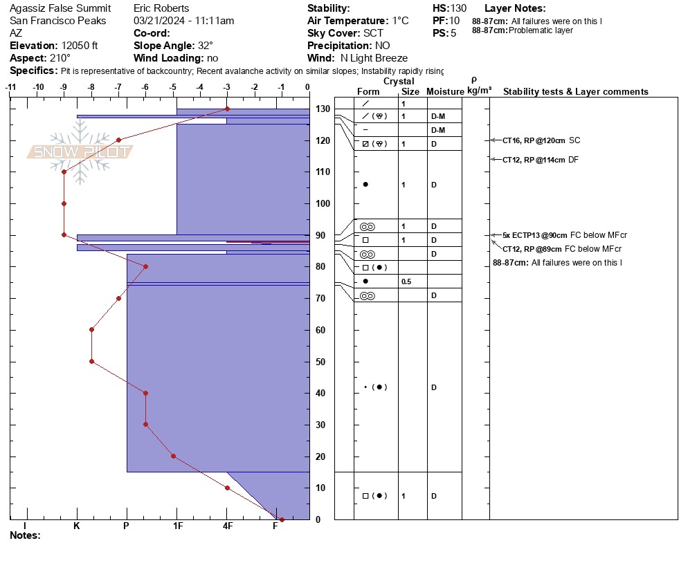
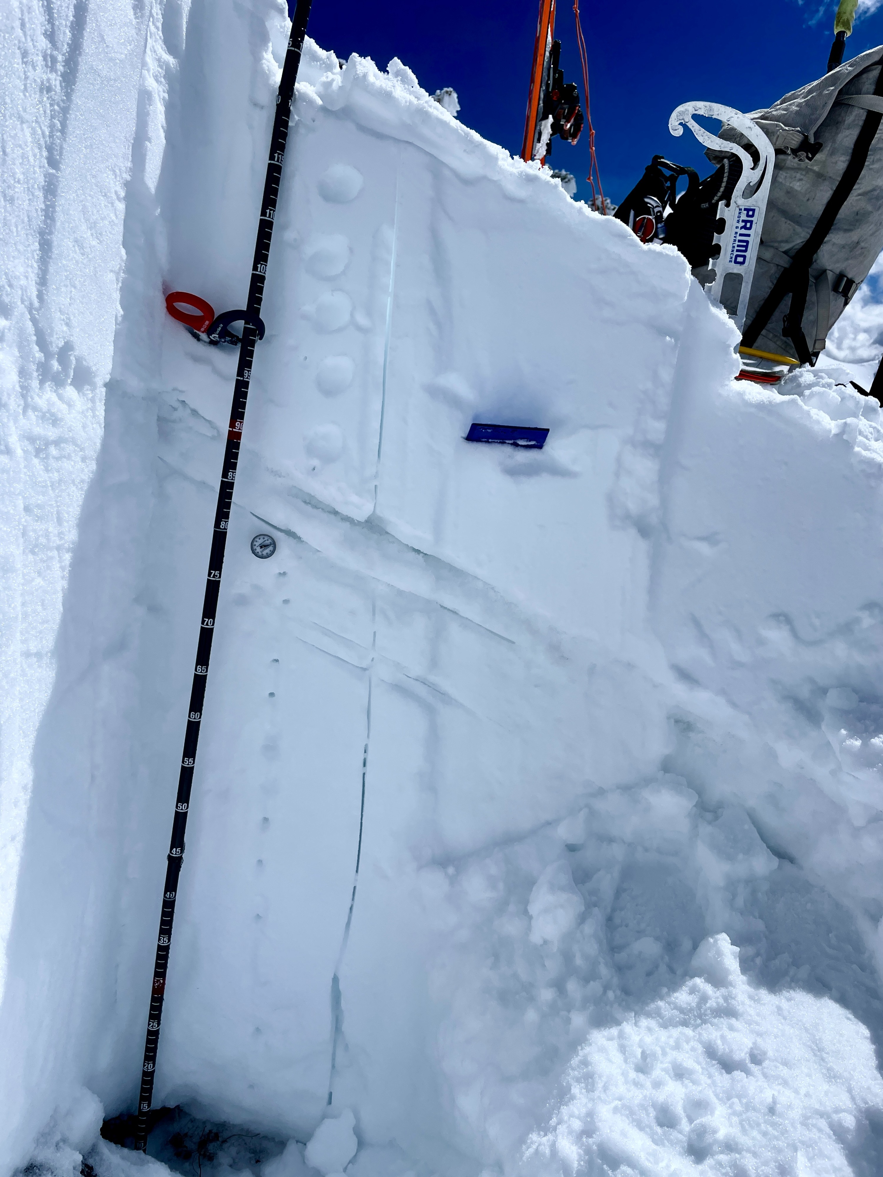
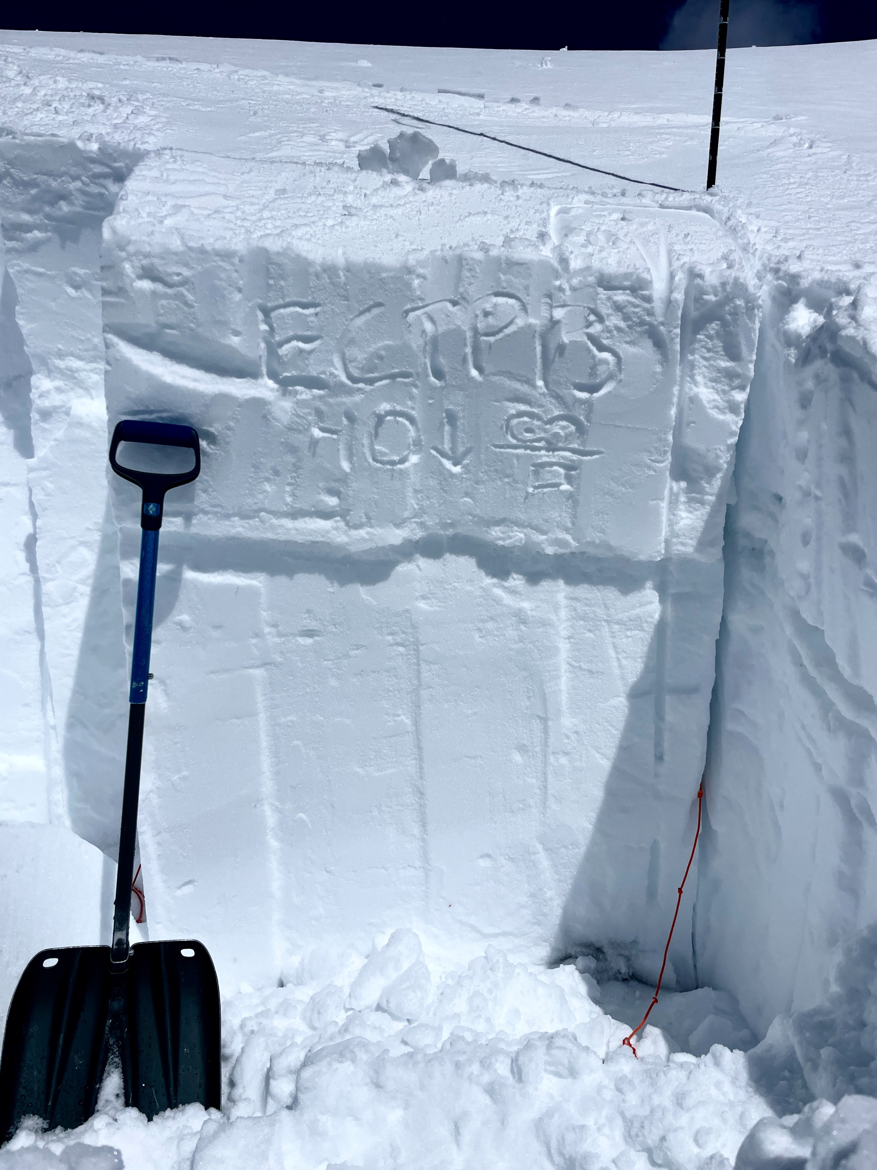
On Southern aspects, instability tests reflected moderate structure, low-moderate strength, high propagation propensity in this specific area of a SW aspect Increasing temps causing wet-loose activity by midday.
Weather
- Air Temp
- 33 F
- Cloud Cover
- scattered
- Wind Loading
- previous
- Recent Snowfall
- 0 cm
- Snow Avail For Transport
- small smounts
Few from 0900-11:00, SCT by midday. Light-Mod Northerly winds with gusts up to 10mph on high ridgelines. 32-33 F NO Precip Rime melting on trees/signs by 12:00pm
Snowpack
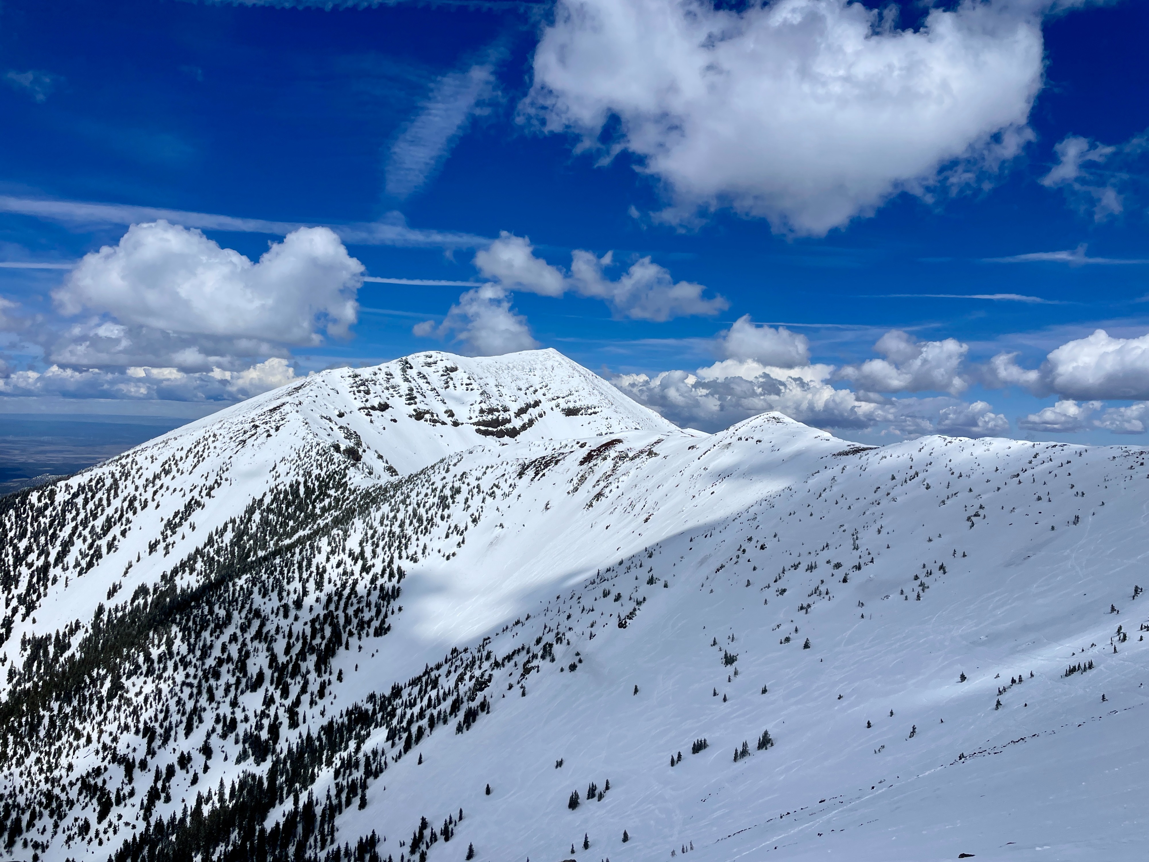
Snow Surface: Melft-freeze conditions existed on WSW slopes until 11;30 when sun affect started the corn esque top surface. A supportable knife hard surface made skinning feel easy, with low penetration foot/ski. Pockets of soft snow existed near tree-line on south western aspect, but ridgeline exposure and wind effect was felt imemdiately above treeline. Point releases were active on SSW aspects before midday. Stiff conditions existed on ridgelines, with our classic talus next to loaded drainages issue. The primary change in snowpack conditions on southern/south-western aspects was the reactivity of midpack melt-freeze-crust-facet combo, near ridgeline and previously loaded within the last 3-5 days. A consistency are the continued solar effects, which may increase point releases and allow a skier to penetrate deeper into the snowpack, at the right time, in the right place. Height of snow (HS) is variable ranging from 50-130 cm on western- southwestern aspects. Ski Conditions were variable on north, northeast aspects, and southerly aspects, above 12k' were supportable and developing corn