
Quick report
- Cracking
- isolated
- Collapsing
- isolated
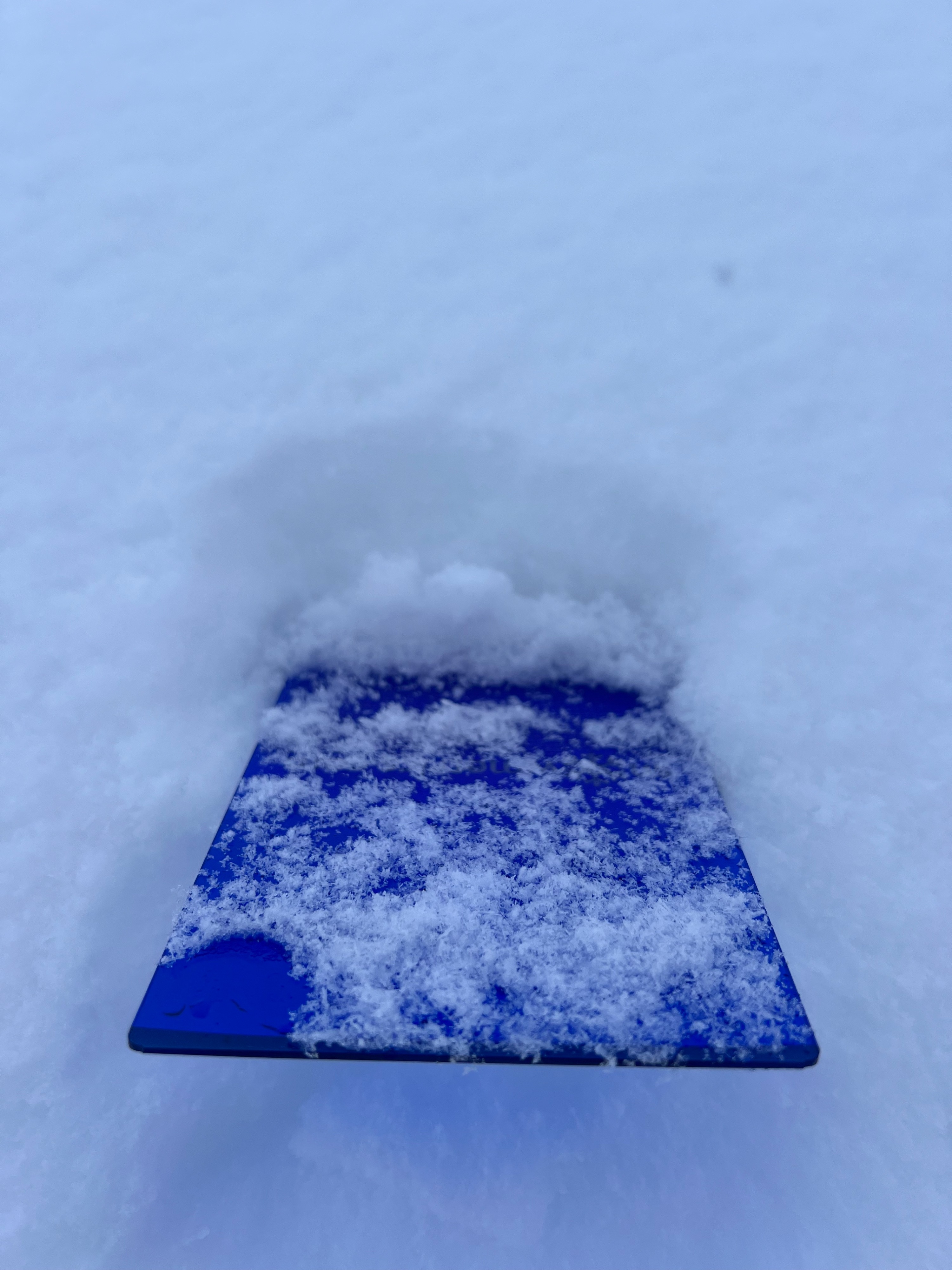
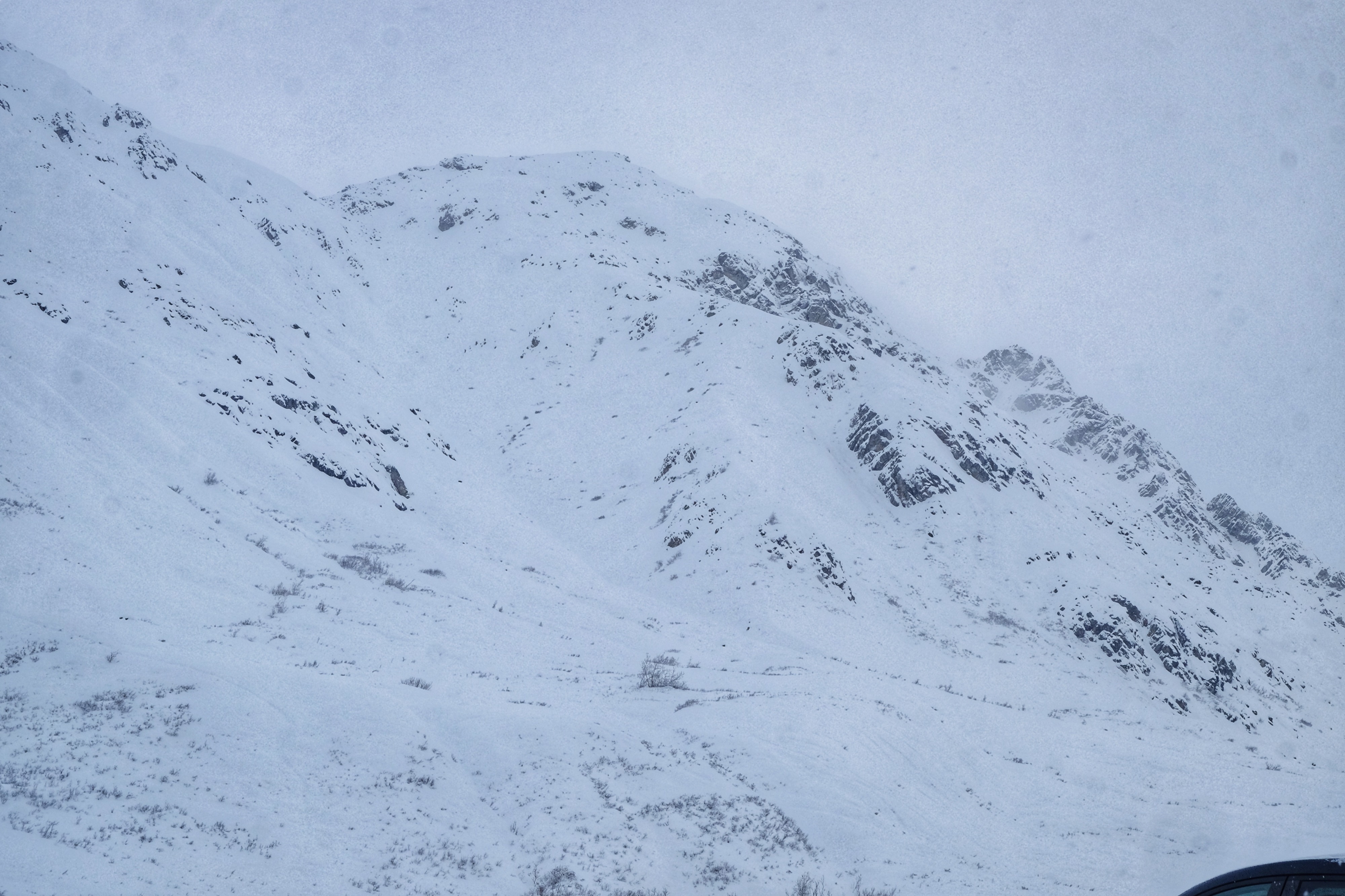
A solid refresh throughout the range is very welcome. Overall it's looking like we received 7-10 inches of new snow across the board. Mostly light winds throughout the storm helped make for light, even distribution, although with the density of the new snow, I'm sure there is some light drifting and slabbing that occurred at higher elevations. Our visibility in the area was limited today but we didn't observe any avalanches or much instability outside of some localized collapsing. What was notable was the high humidity, muggy feeling and "greenhouse" like conditions that seemed to help thicken up the snow by the time of our departure. These conditions might help encourage settlement in the short term, but with an extensively faceted snowpack and more cold temperatures on the way, it could also serve to slab up the new snow and increase instability in the coming days. Needless to say, we're grateful for this new snow and will continue to get out and investigate how it's settling in.
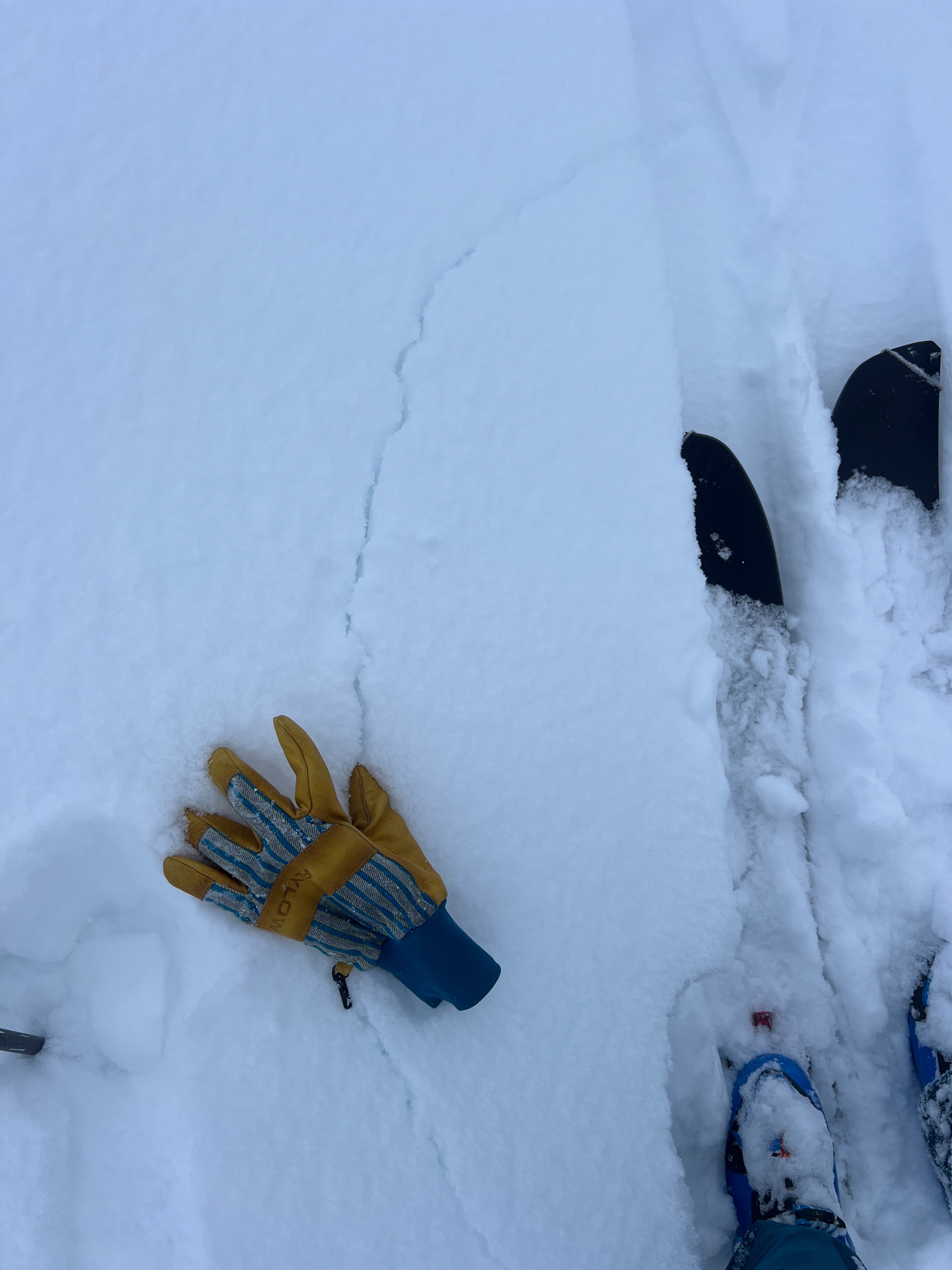
We experienced small, isolated cracking and collapsing in areas near the ridgeline that had a shallower snowpack (closer to one foot) and were closer to steep rocks where intact, buried old wind slabs are still found (see picture).Weather
- Air Temp
- 16
- Cloud Cover
- obscured
- Wind Loading
- none
- Recent Snowfall
- 23cm/9"
- Snow Avail For Transport
- moderate amounts
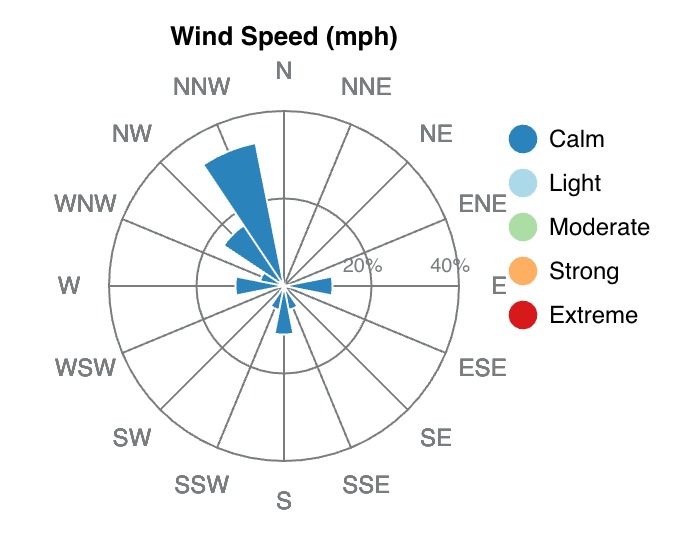
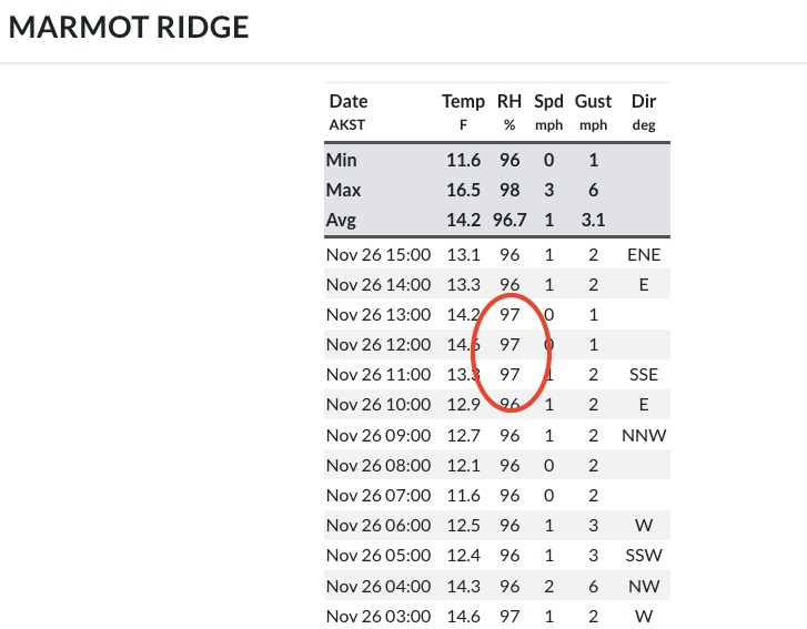
A short-duration storm favored the forecast area and the SW Talkeetnas yesterday from which we received a much-needed 7-10" of snow. This fell amidst relatively calm winds, with average wind speeds yesterday on Marmot and Hatch being just 4mph with gusts to 9mph. Today, we experienced calm winds and obscured skies with intermittent fog and overcast visibility. Snow began to fall at a modest rate of less than one centimeter (1/3 of an inch) per hour around 1:30pm. Aside from the poor visibility and excellent snow quality during our tour, the most noticeable condition was the almost muggy air. A look at the Marmot weather station confirmed this feeling with a 97% humidity reading.
Snowpack
The snowpack is still relatively shallow, with most places 1.5-2.5' in depth.
Throughout the tour, we observed soft (F-) storm snow that was behaving like loose, fresh dry storm snow. By the end of our tour, thanks to some greenhousing and seemingly warmer temperatures, the new snow was feeling a little like a cohesive slab.
In several locations, quick hand pits revealed that facets buried below intact crusts or wind slabs weren't as loose as before the storm, and were beginning to take on some moisture and gain cohesion, sticking together like a snowball when you make a fist.