
Quick report
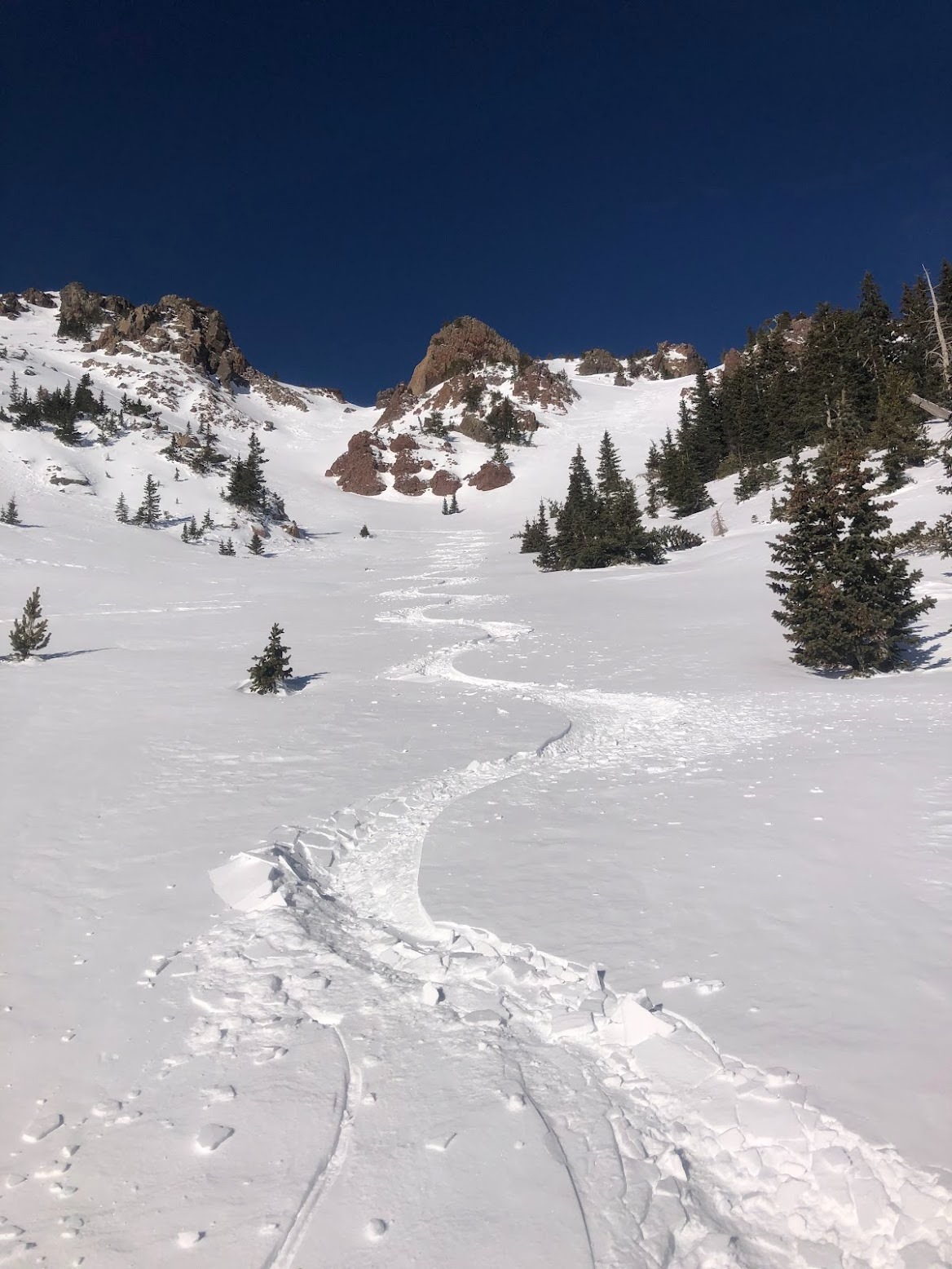
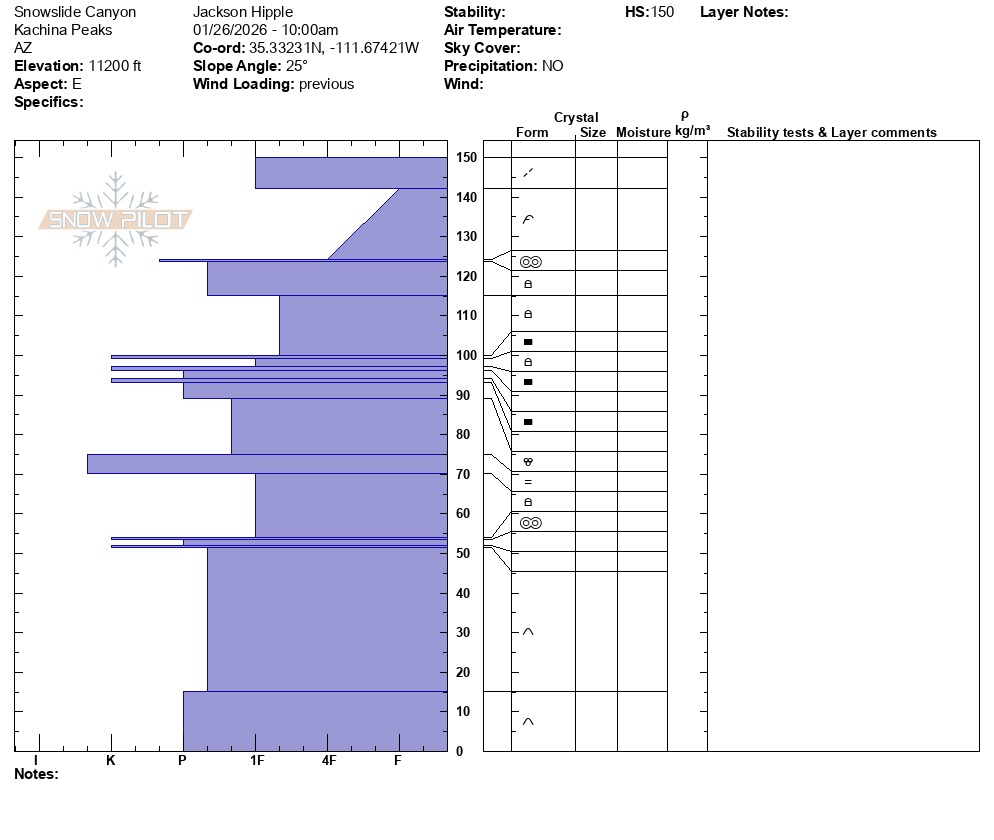
I exited the ski area through the gate behind Topshack, hiked up to the ridge to the summit of Agassiz, then followed the ridge to the keyhole before hiking down into Snowslide Canyon. The conditions on the above treeline, exposed slopes were unskiable and required crampons. Once in the low-angle trough of Snowslide, the conditions became great and were consistent all the way to the bottom of the avalanche path. Shin deep pow! After skiing Snowslide, I skinned up North Core ridge from the south side to see if anything was skiable on the northern aspects. It was all pencil to knife hard wind board and ice crusts, and very hard to distinguish between the two. I hiked with crampons down the north side of North Core Ridge and exited through the saddle, skiing Rustler Glades back to the ski area. Overall, a fun day out and cool to see just how varied the conditions are out there!
Avalanche
- Size
- D1 R1
- Type
- SS
- Aspect
- N
- Trigger
- N
- Elevation
- 11100 ft
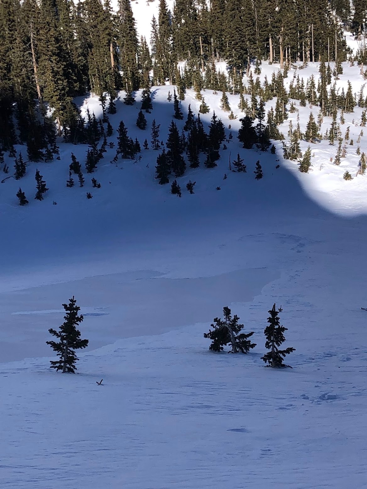
While skinning along the bottom of the North Core North Group, I found the debris fan of what seemed to be an R1D1 wind slab avalanche. It was hard to see the crown clearly, but it looked like it initiated just underneath a north-facing cliff-band at around 11,100ft. The bed surface was a knife-hard ice crust. I didn't dig here, so it's hard to tell if this was an area that had been scoured all the way down to the new year's rain crust or if this was just a strong melt freeze crust.