
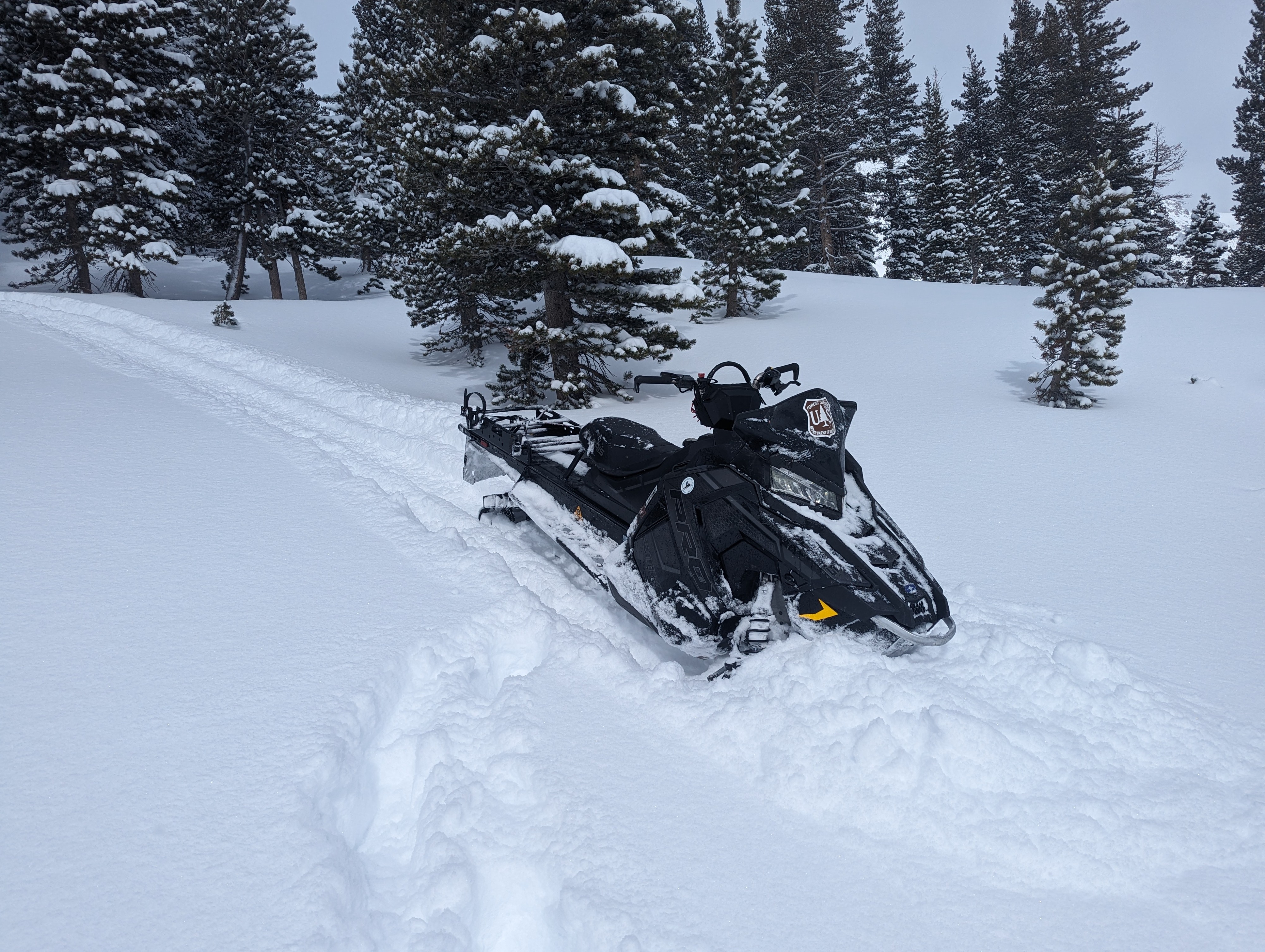
Quick report
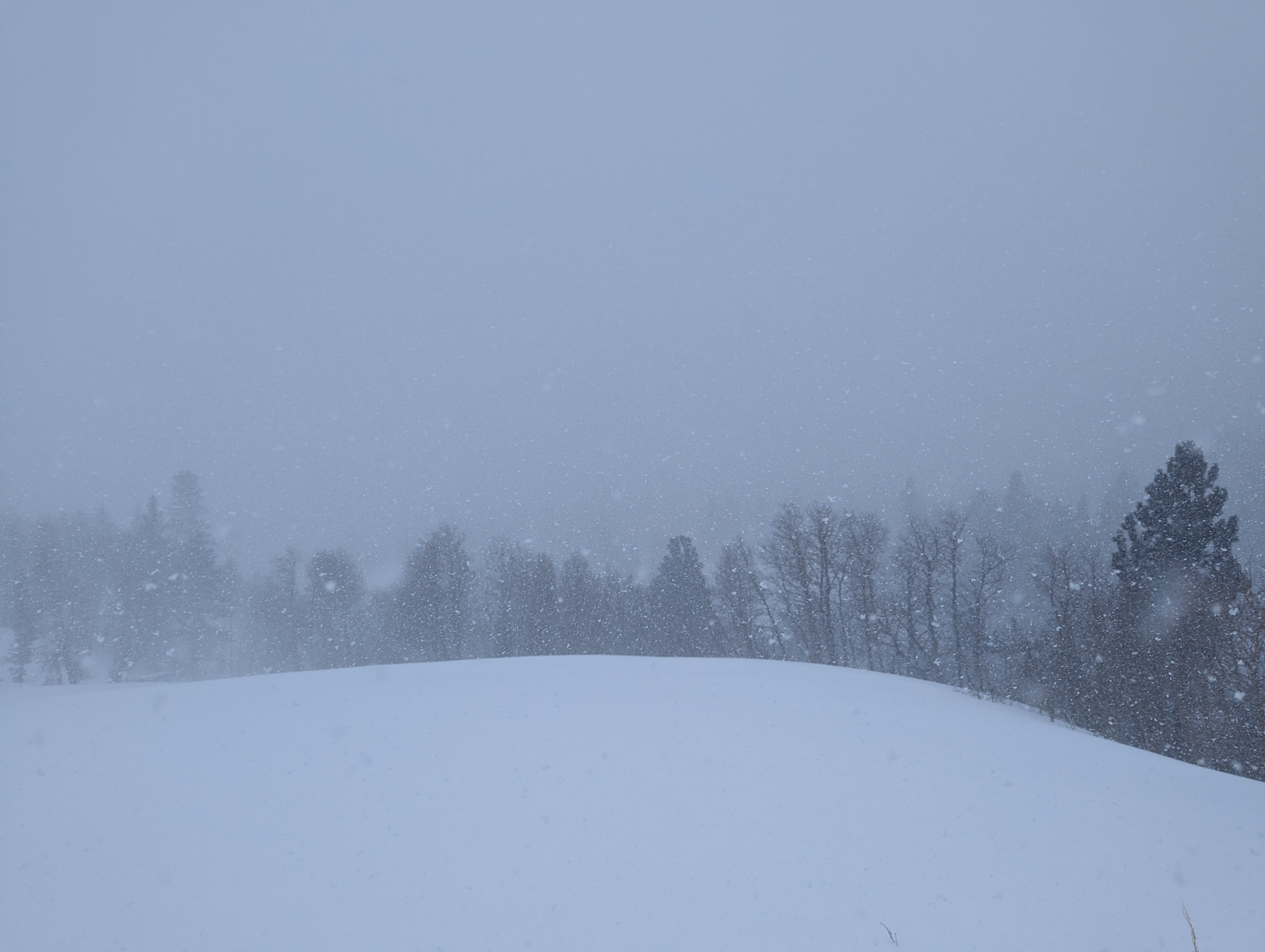
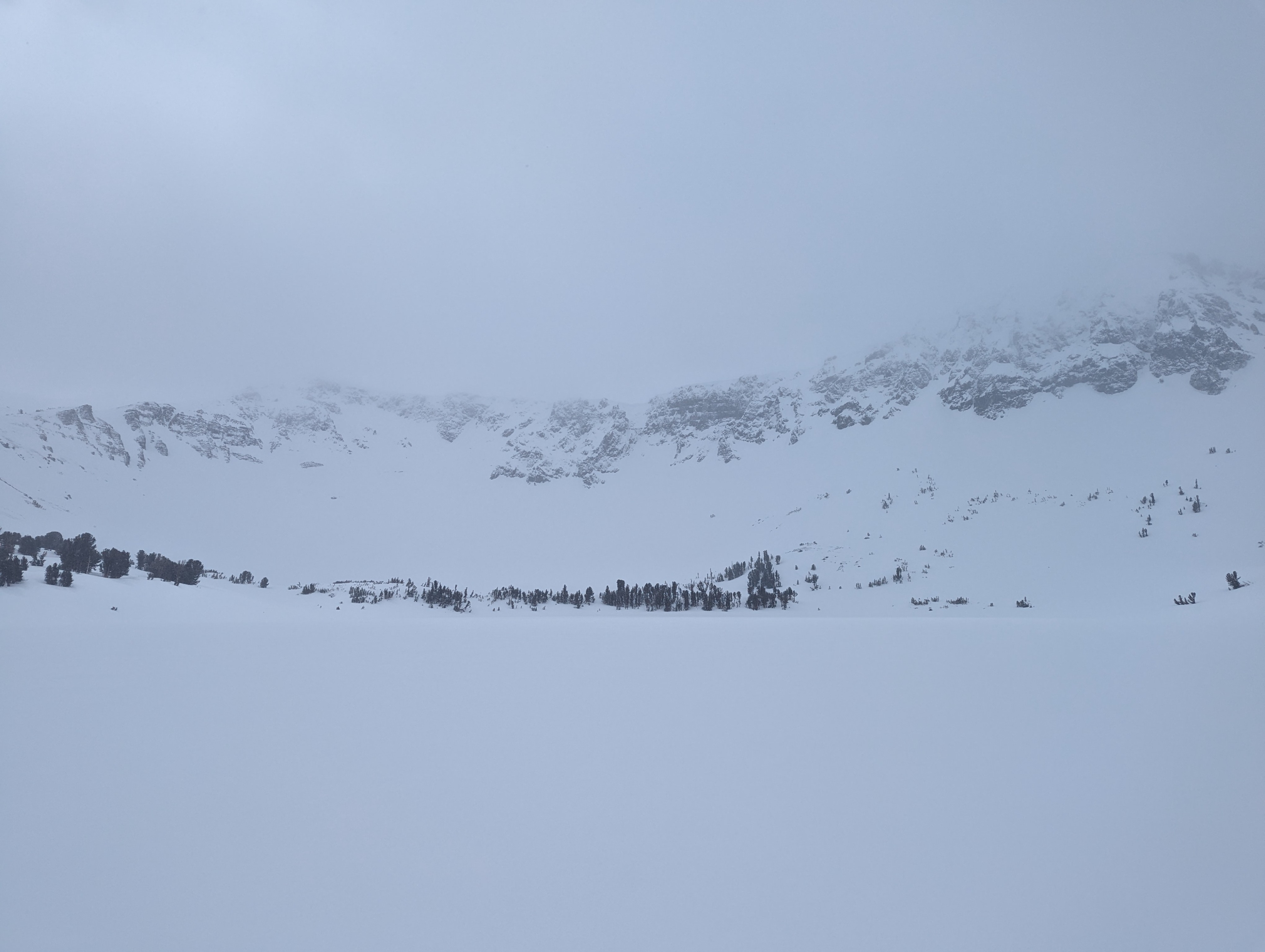
Today, I rode into the BWRA with expectations of seeing wind loading in the higher elevation bands. My efforts were thwarted by incoming weather and low visibility.
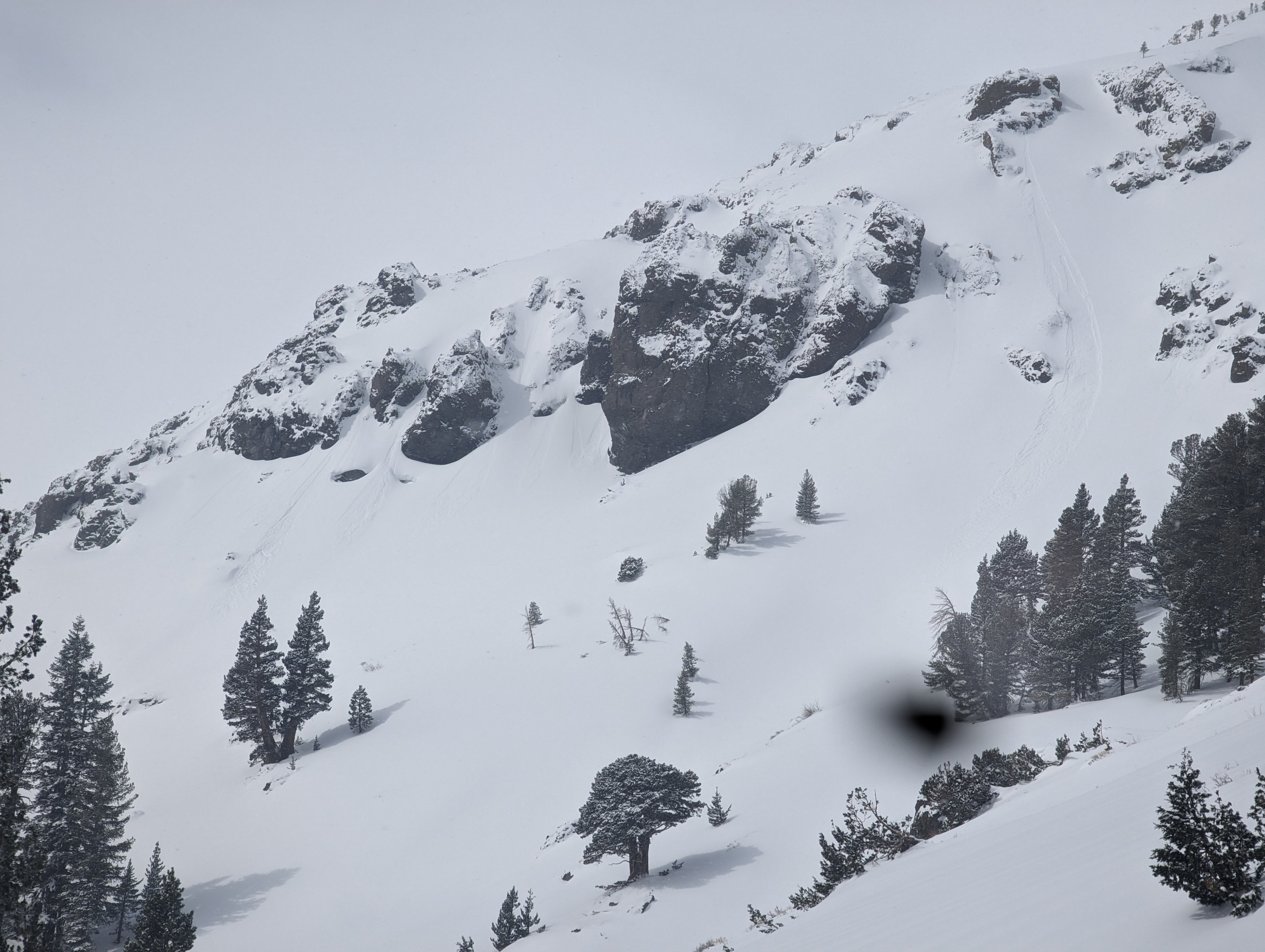
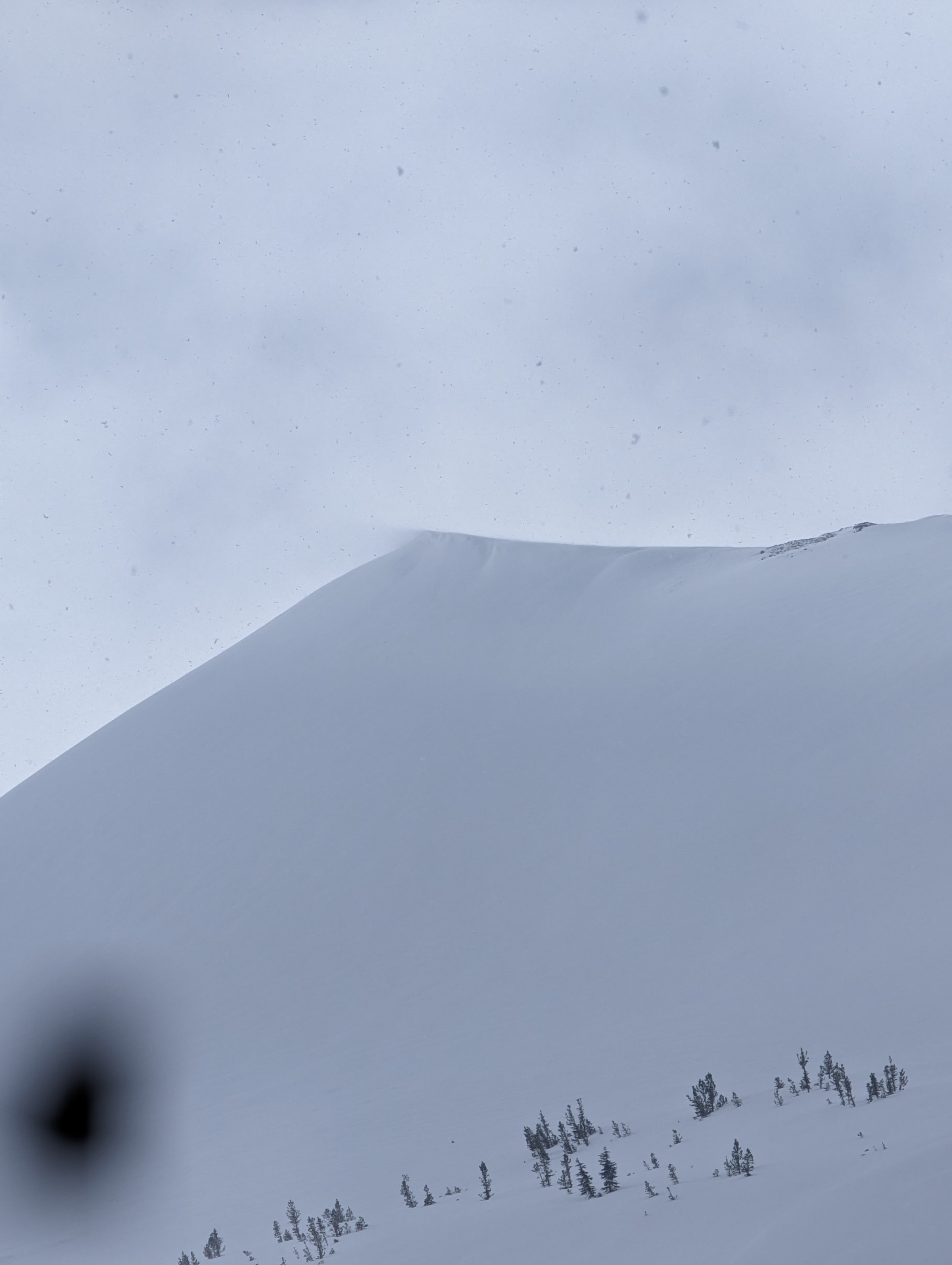
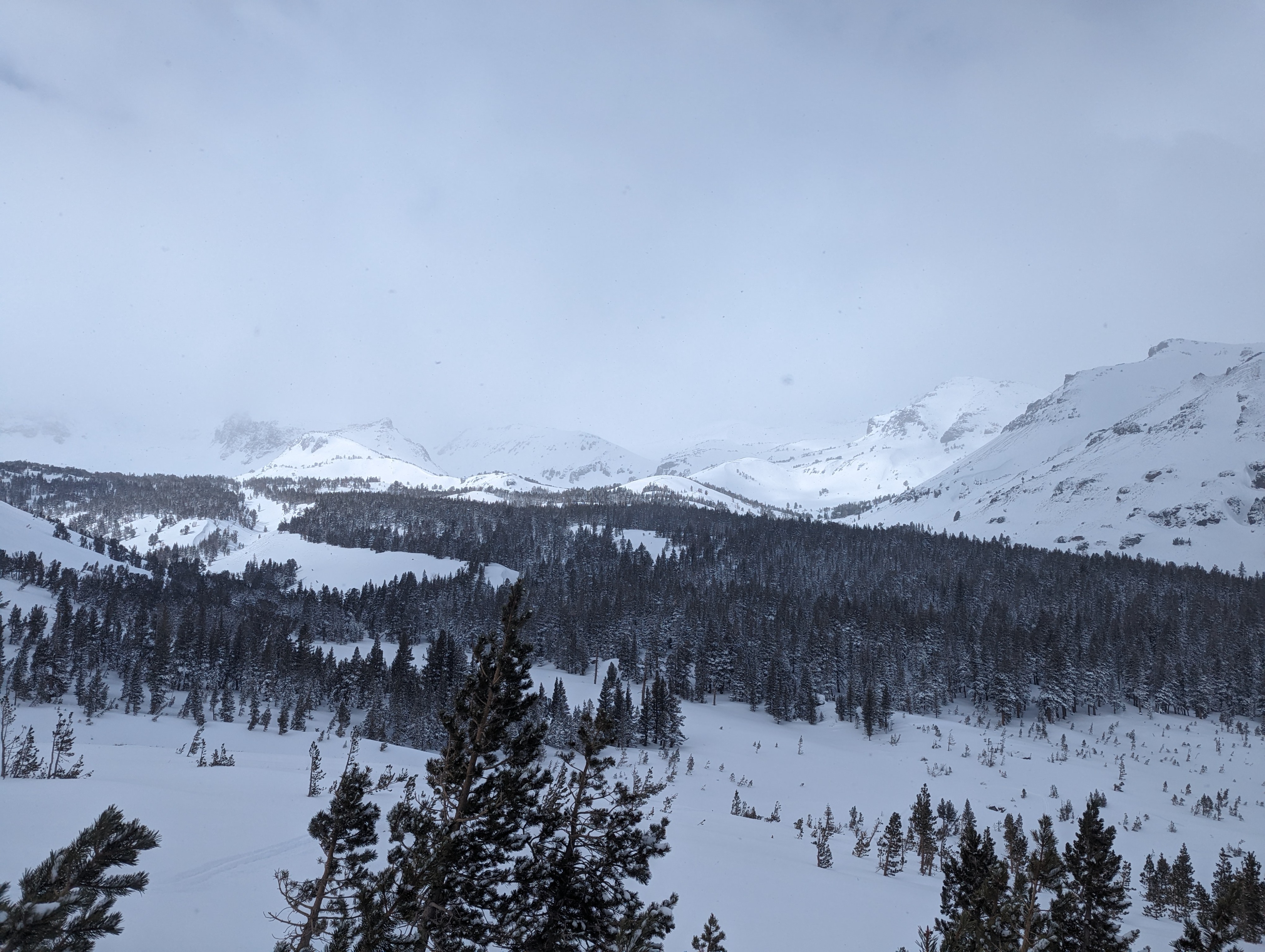
- I was able to sneak a few glances at the high country and see wind transport along the ridgelines. Dry loose avalanches were seen on a few steeper features in the area.
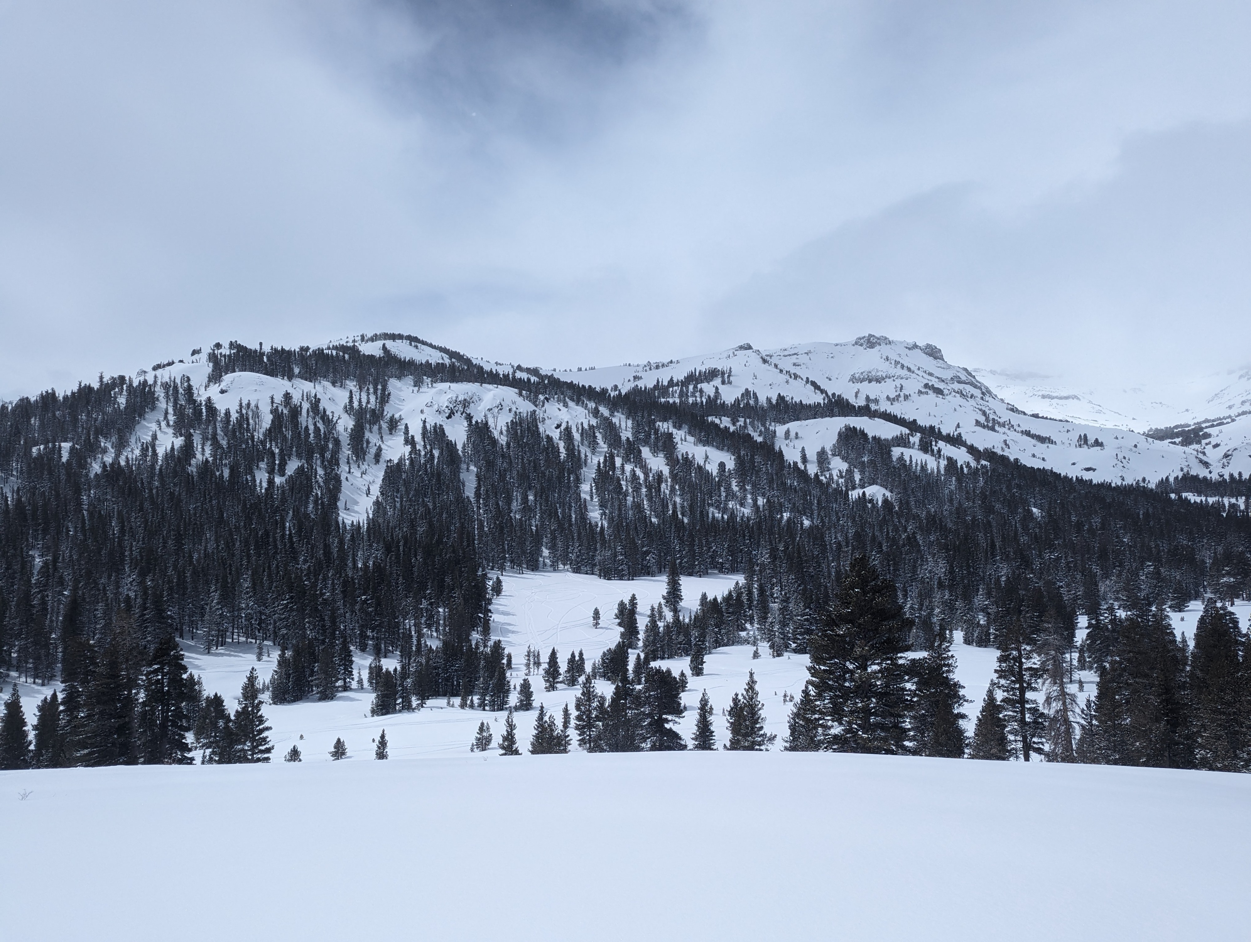
- Unconsolidated snow remained below the treeline
- Around midday, the winds noticeably shifted from the SW to NW and increased the rate of snowfall significantly.
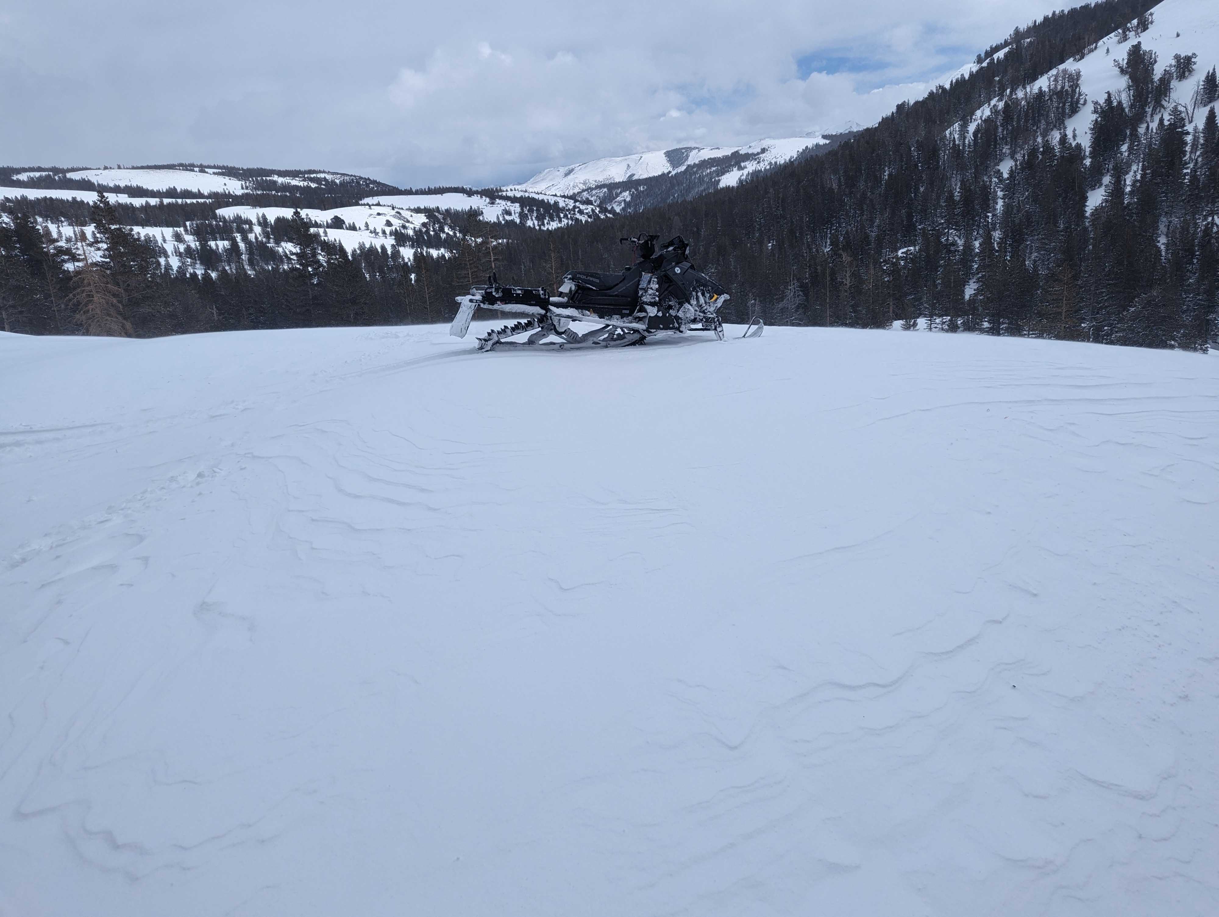
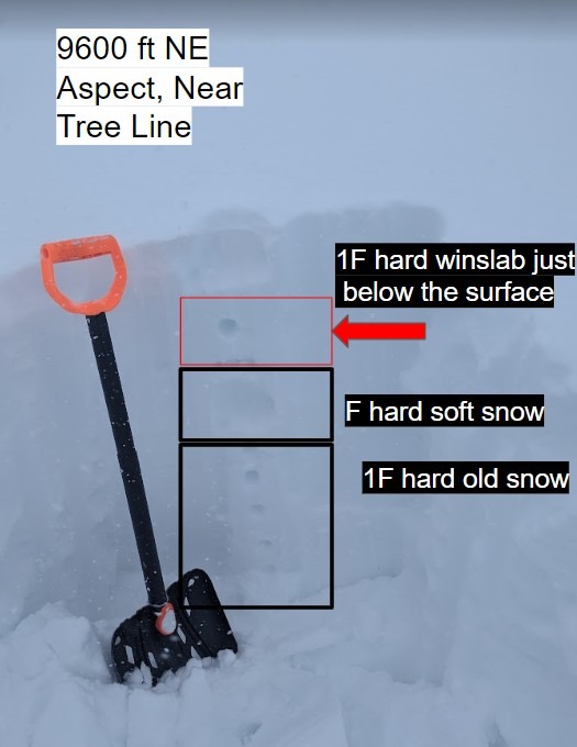
- I was able to find a few wind-loaded test slopes and cut them with my sled. I was unable to trigger any propagation on the test slopes but a quick pit did reveal the wind slab structure was indeed present.
- Storm totals near Leavitt Lake at 9600 ft were over 2 ft.
- I was able to feel the " bottom' in many locations due to the firm old snow that had undergone multiple melt/ freeze cycles last week.
Be sure to read the photo captions
Dry Loose avalanches seen and presence of wind slabs on test slopes.Weather
- Air Temp
- 20
- Cloud Cover
- obscured
- Wind Loading
- unknown
- Rain Elevation
- 8000ft
- Recent Snowfall
- 60cms+
- Snow Avail For Transport
- large amounts
Snow showers continued today bringing additional snowfall to the area. Snow accumulation from the last 48 hrs ranged from 4 inches at 8000 ft to over 2 feet at 9500 ft. Winds were light to moderate at times and noticeably shifted from the SW to NW around mid-day. Visibility was observed for most of the day limiting views of wind loading at ridgelines.