
Etna Summit
Quick report
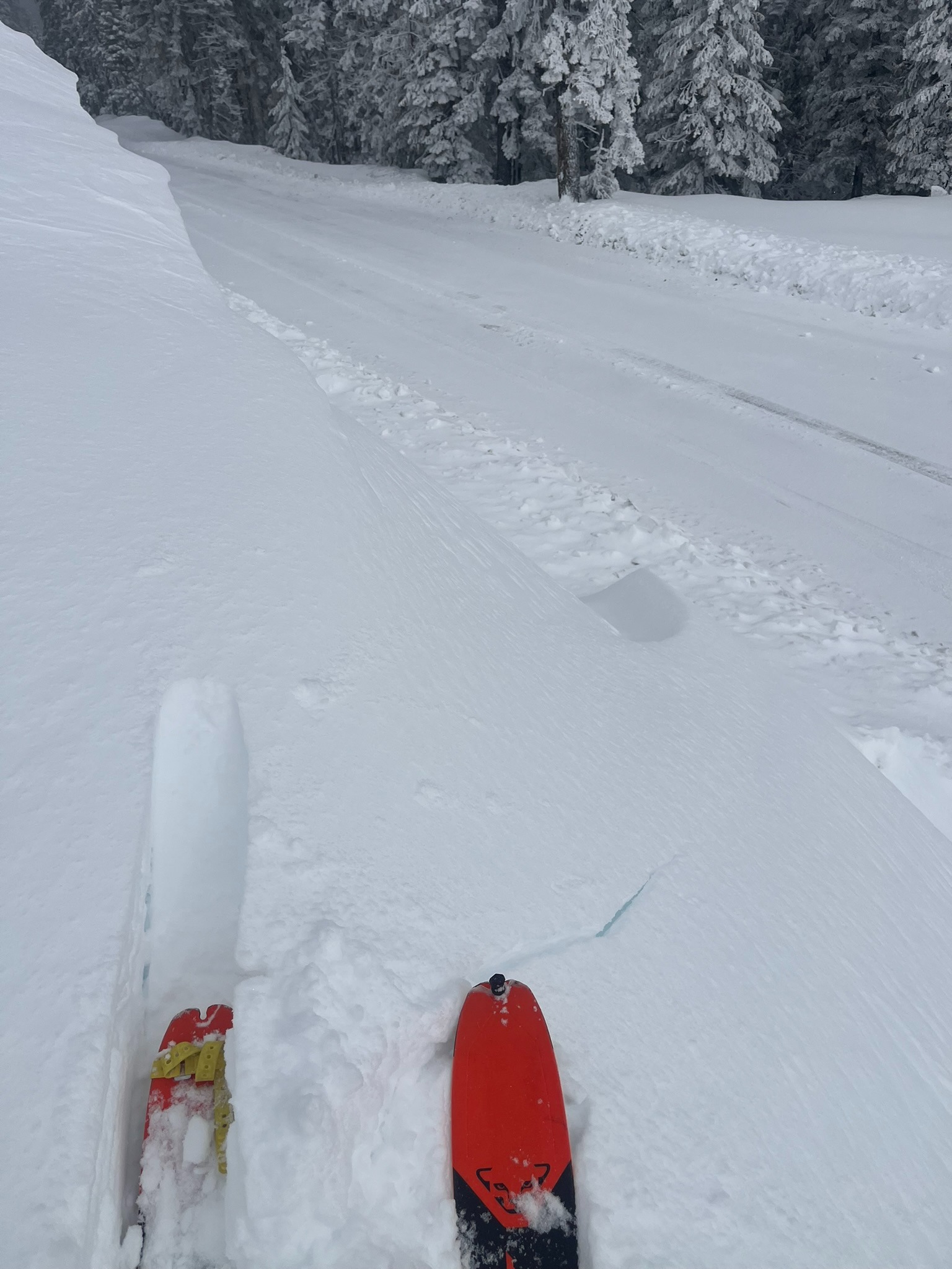
- Cracking
- specific
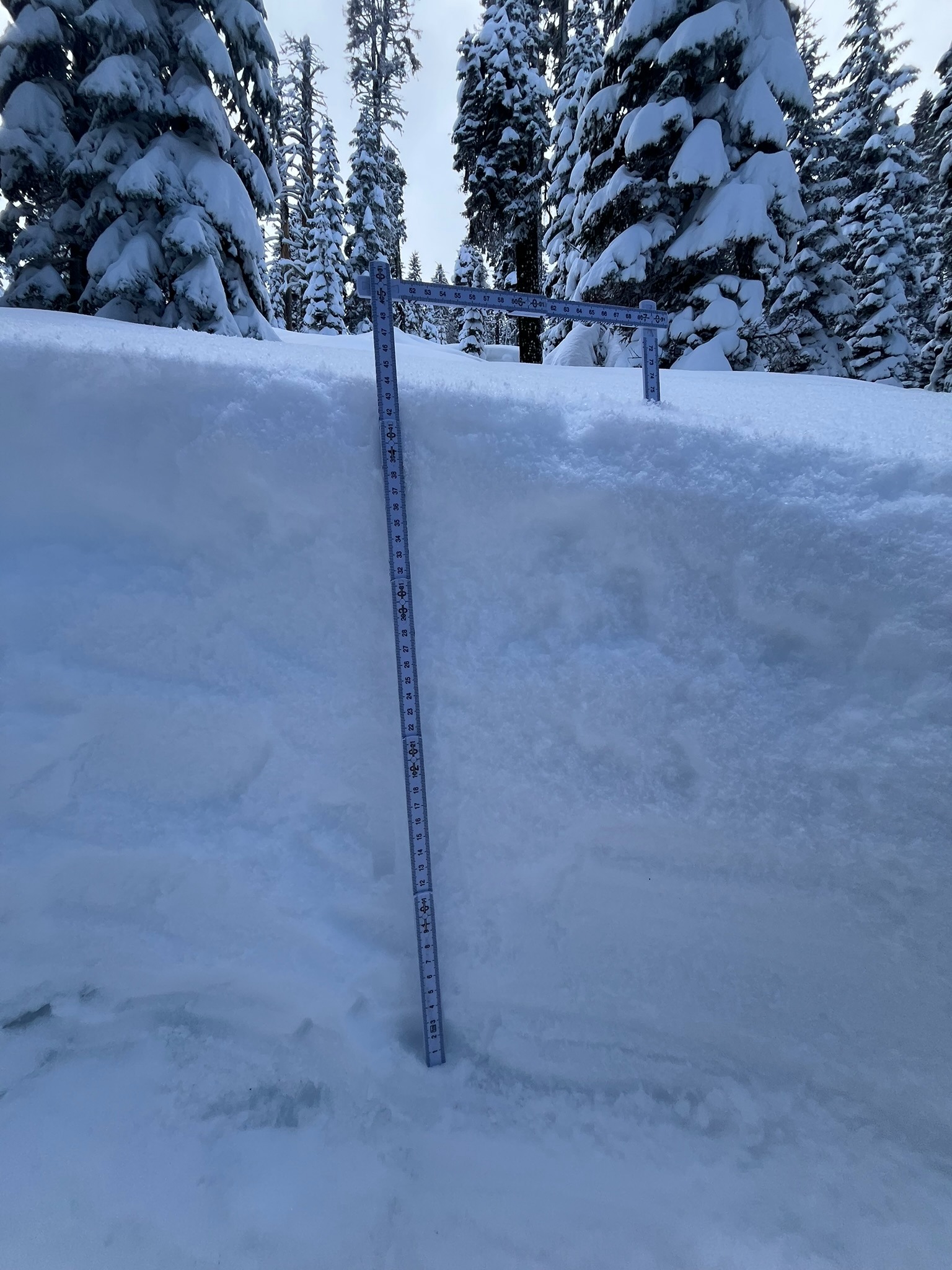
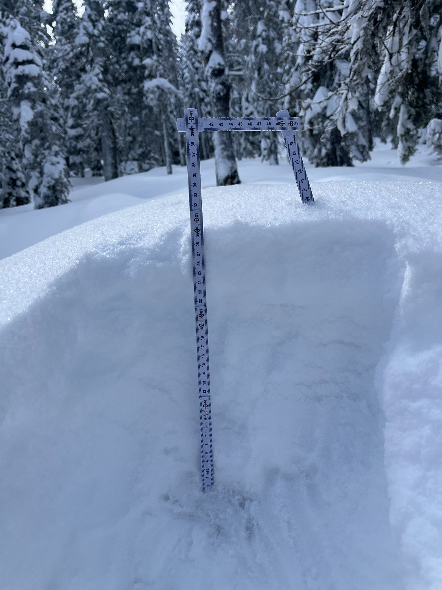
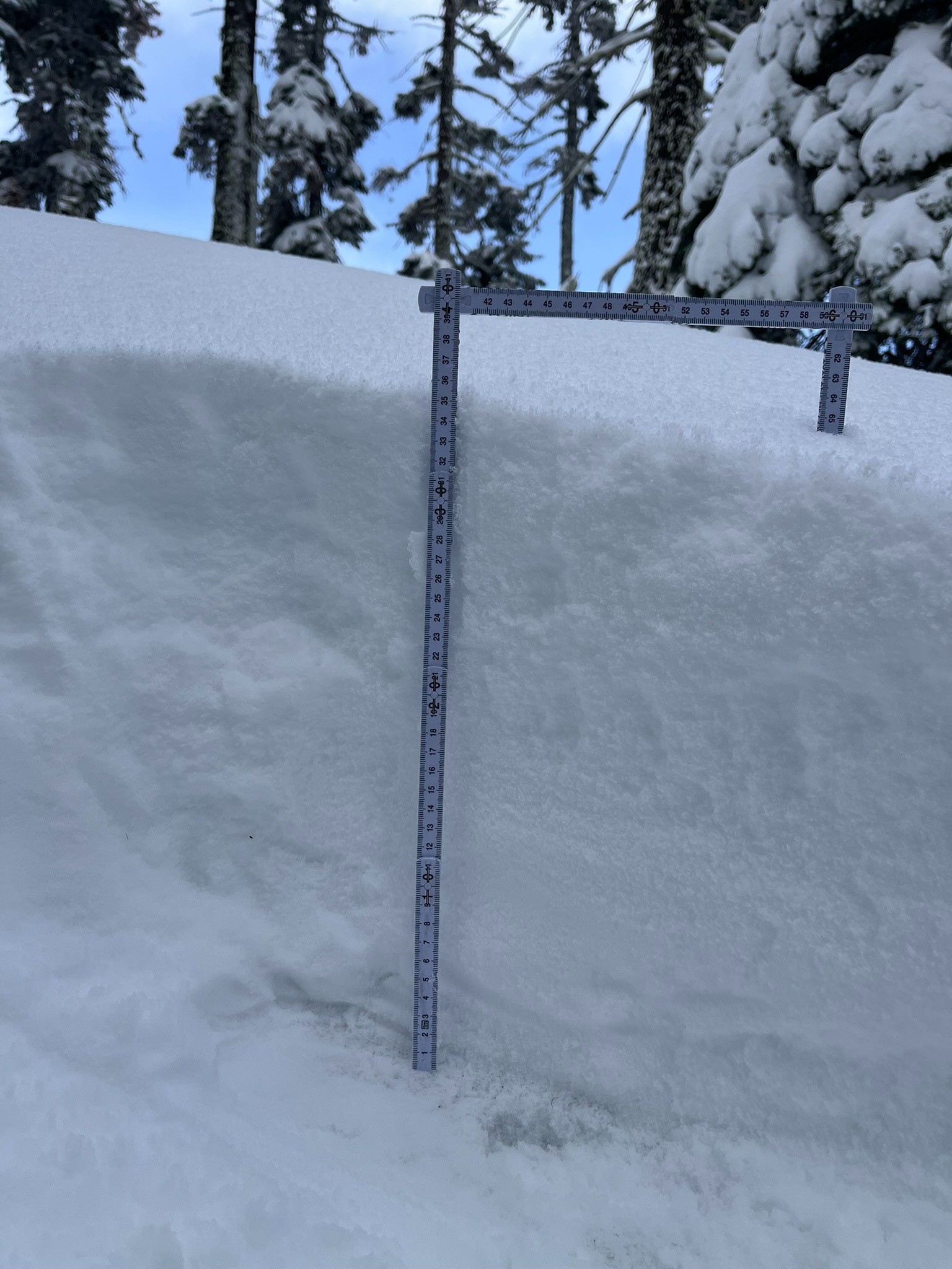
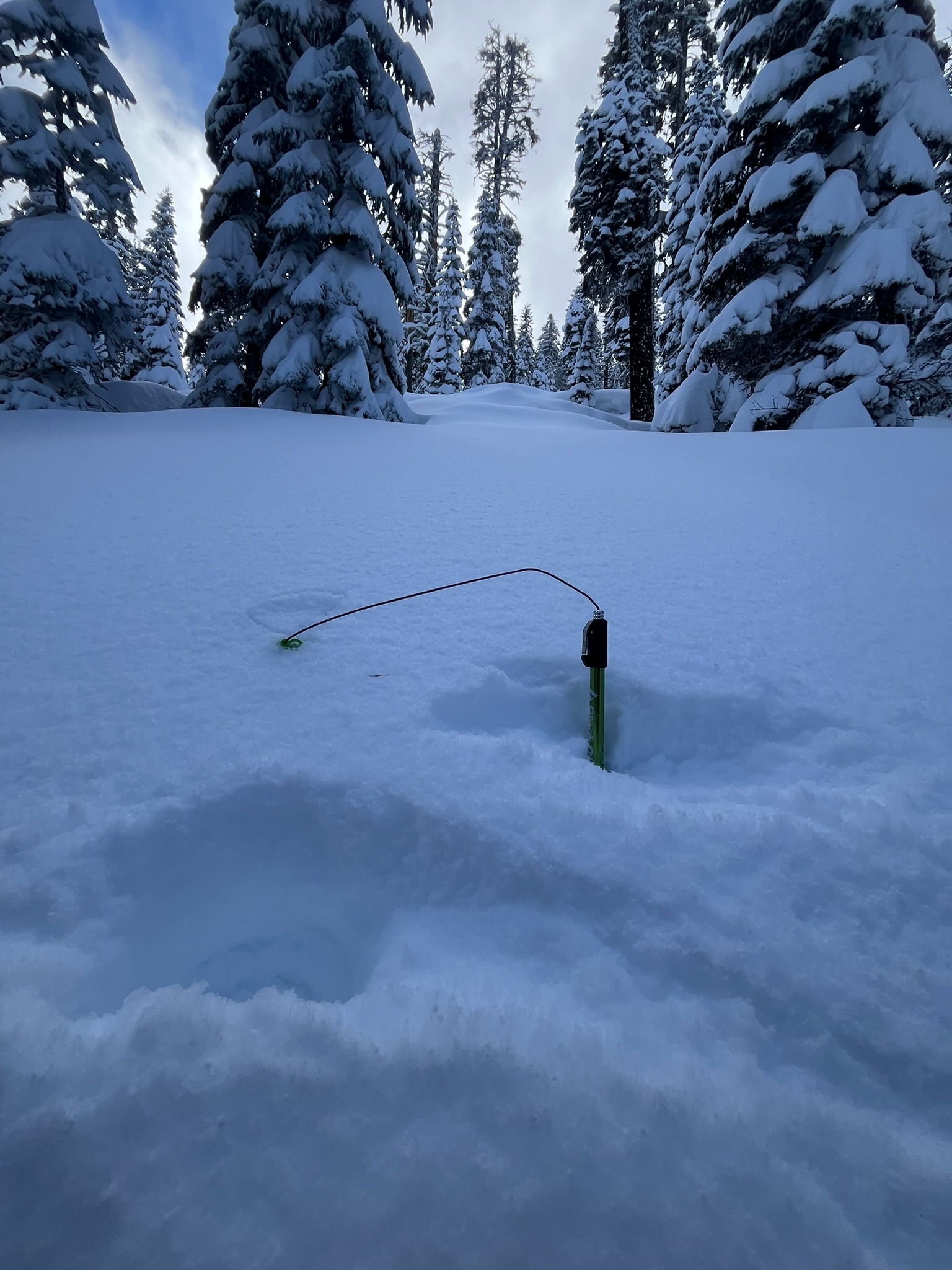
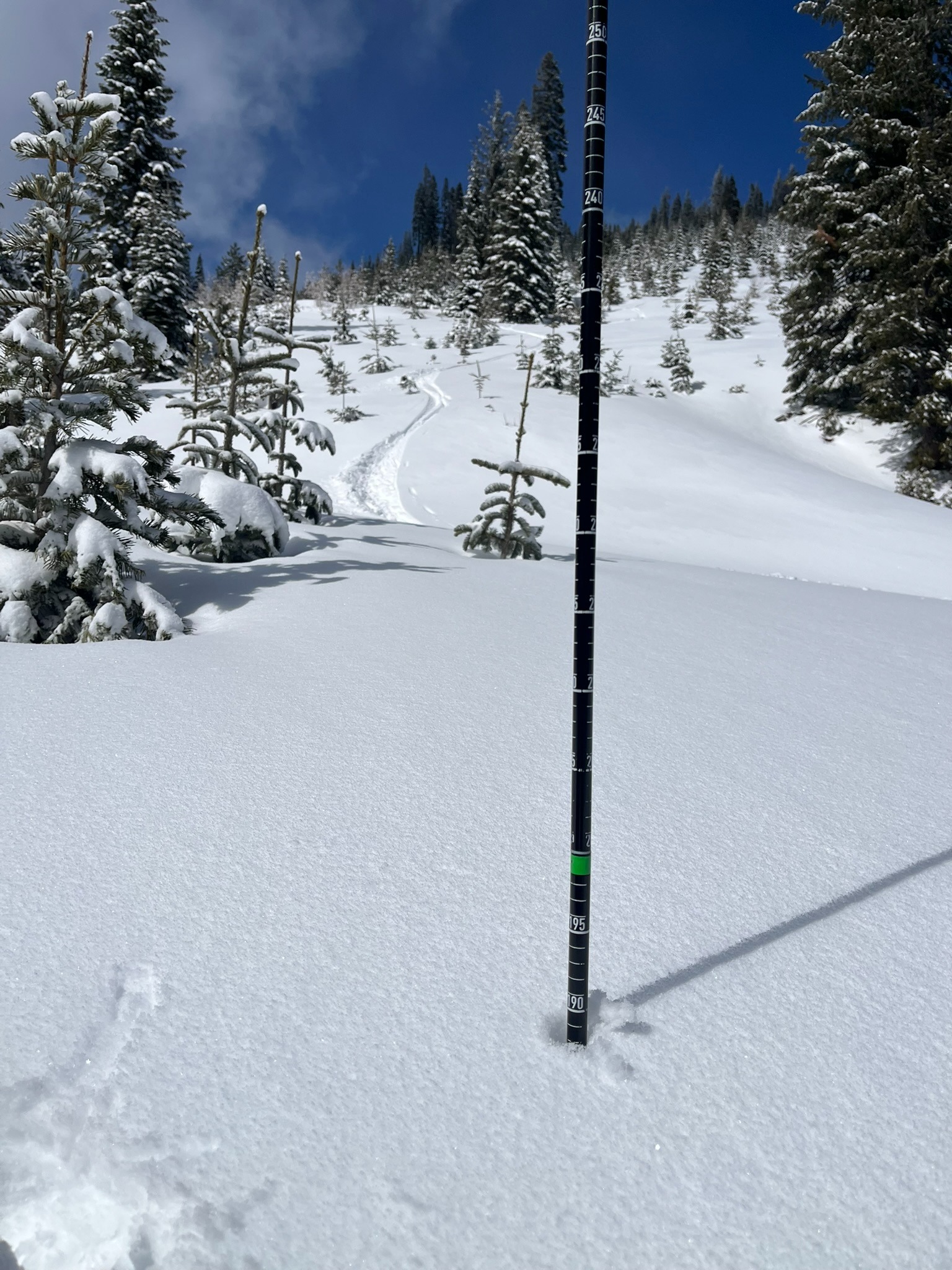
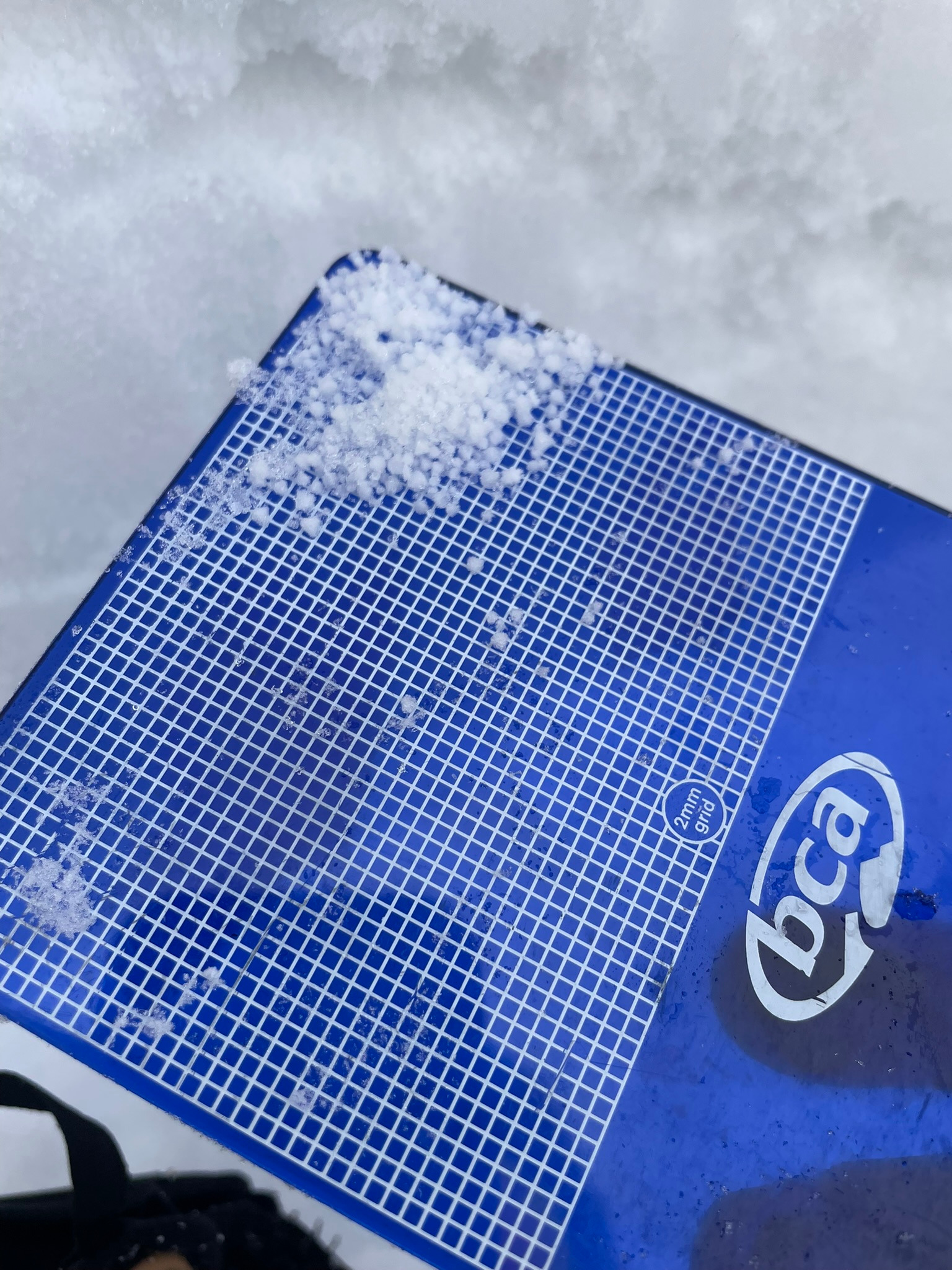
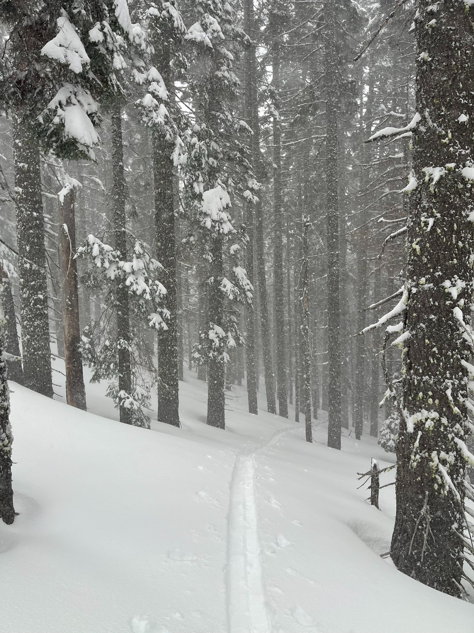
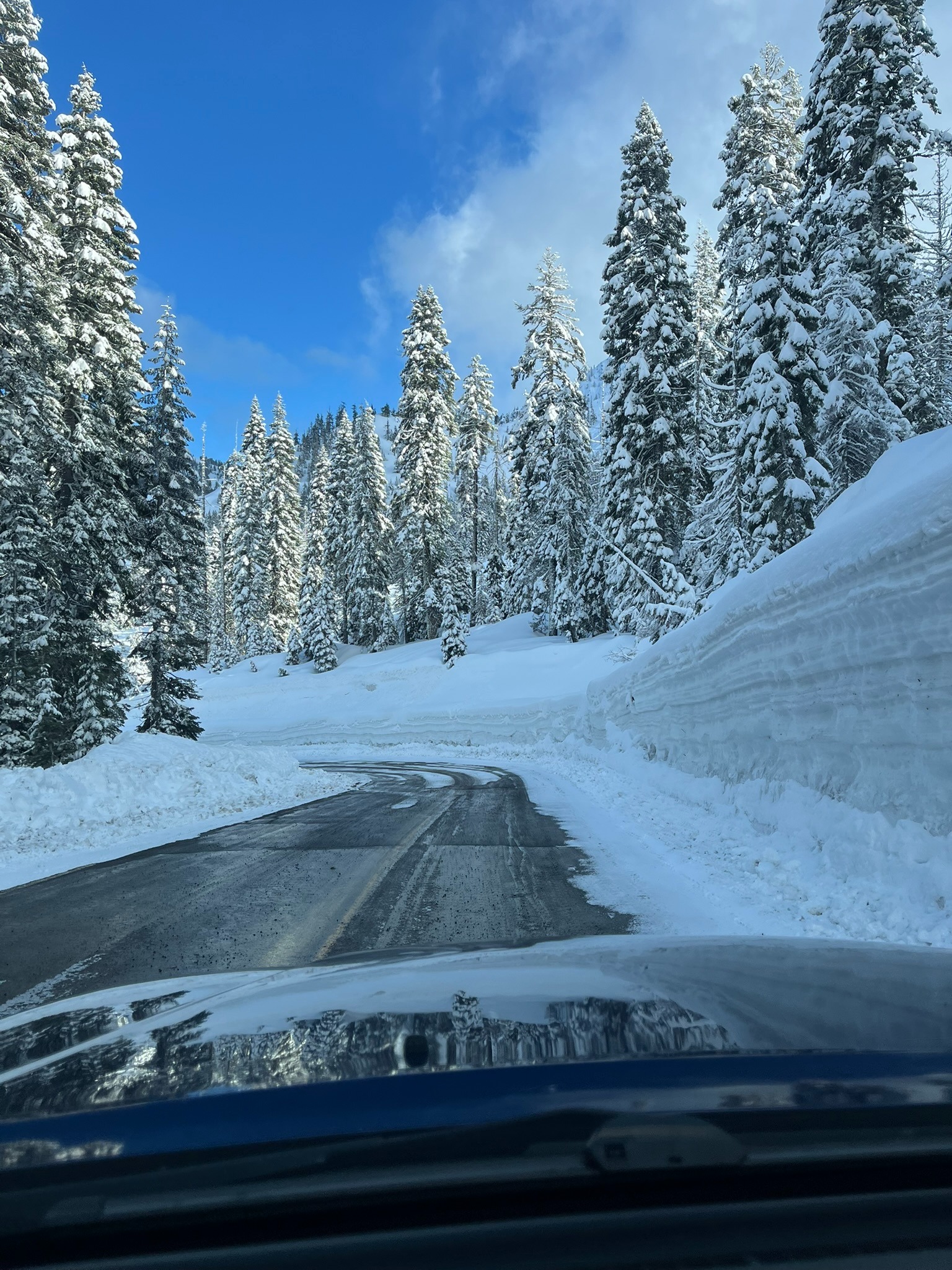
It was still snowing and blowing when I got to the top of the pass but most of the storm had passed. Visibility improved as the day progressed though there were a few periods of snow and graupel showers. Graupel looks like small ice or hail pellets that can become a weak layer in the snowpack, similar to ball bearings. As new snow stacks up on this surface, this could become a layer of concern for avalanche activity. New snow in the past 48 hours measured up to 18 inches deep with more in wind drifted areas. Total snow depths ranged from 190 to 320+ centimeters depending on aspect and elevation. When the sun did poke out, non-shaded, southerly aspects below 6,000 feet warmed and became sticky quite quickly. The north and east aspects hid from the sun staying dry and light all day.
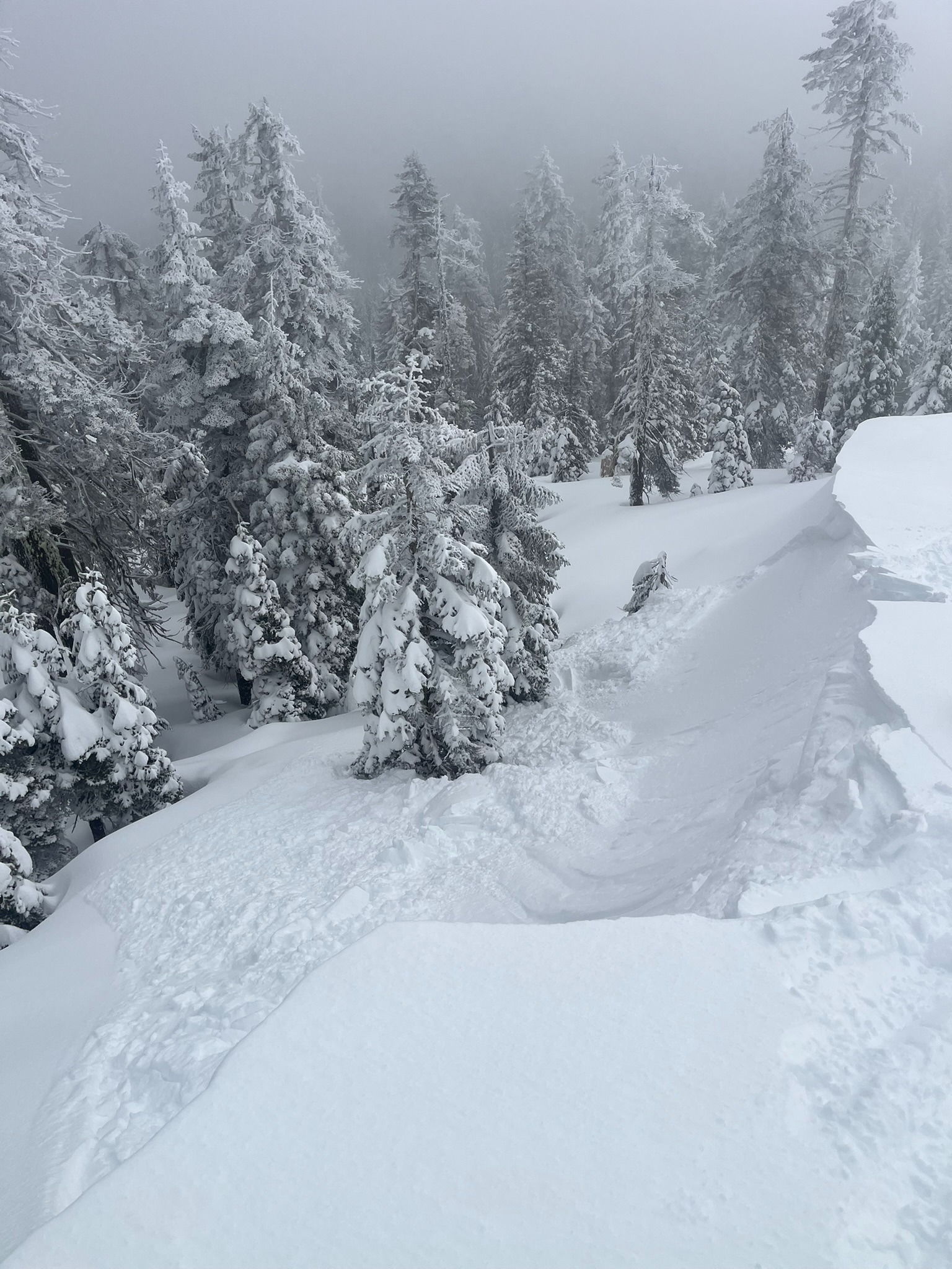
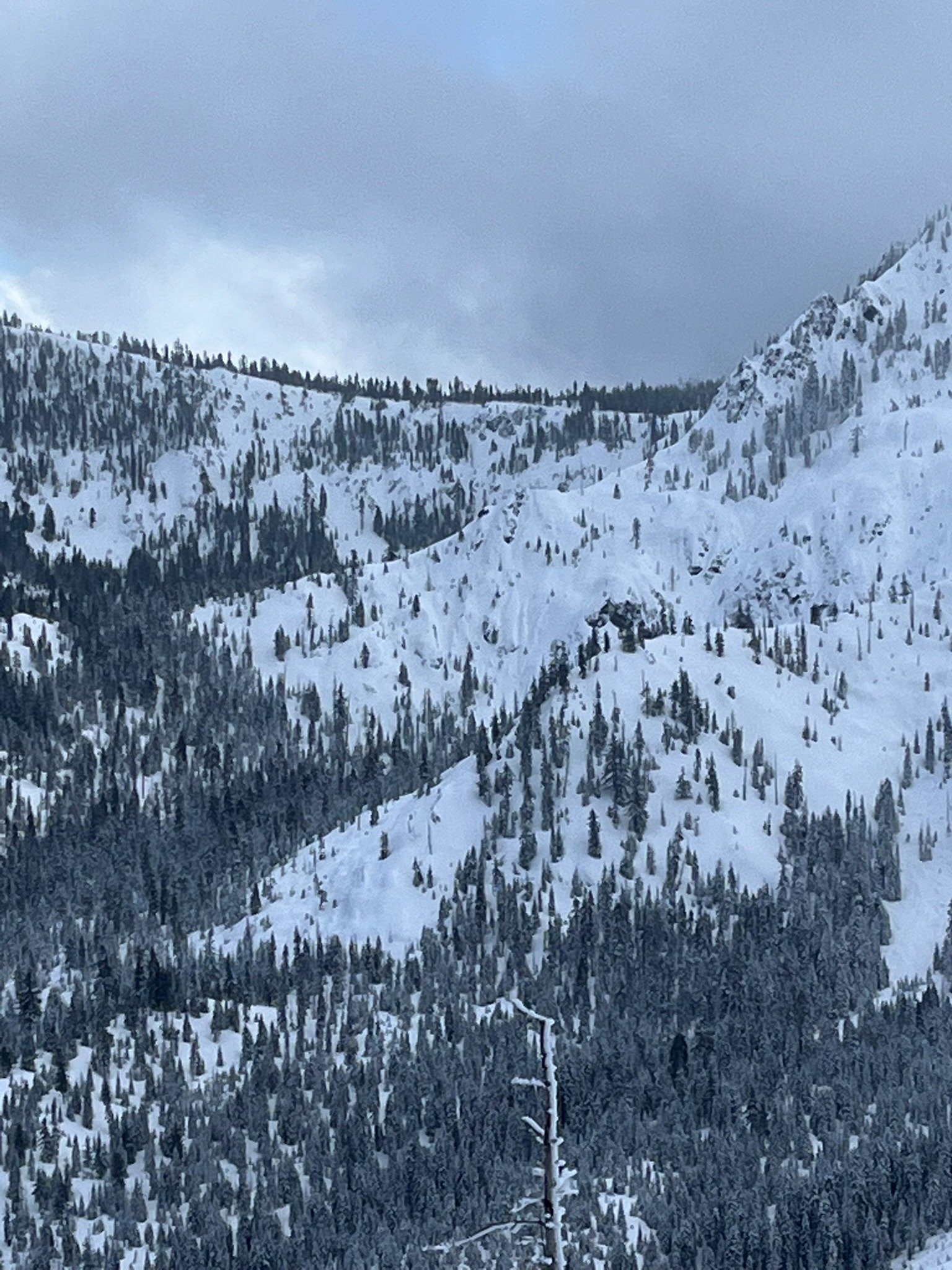
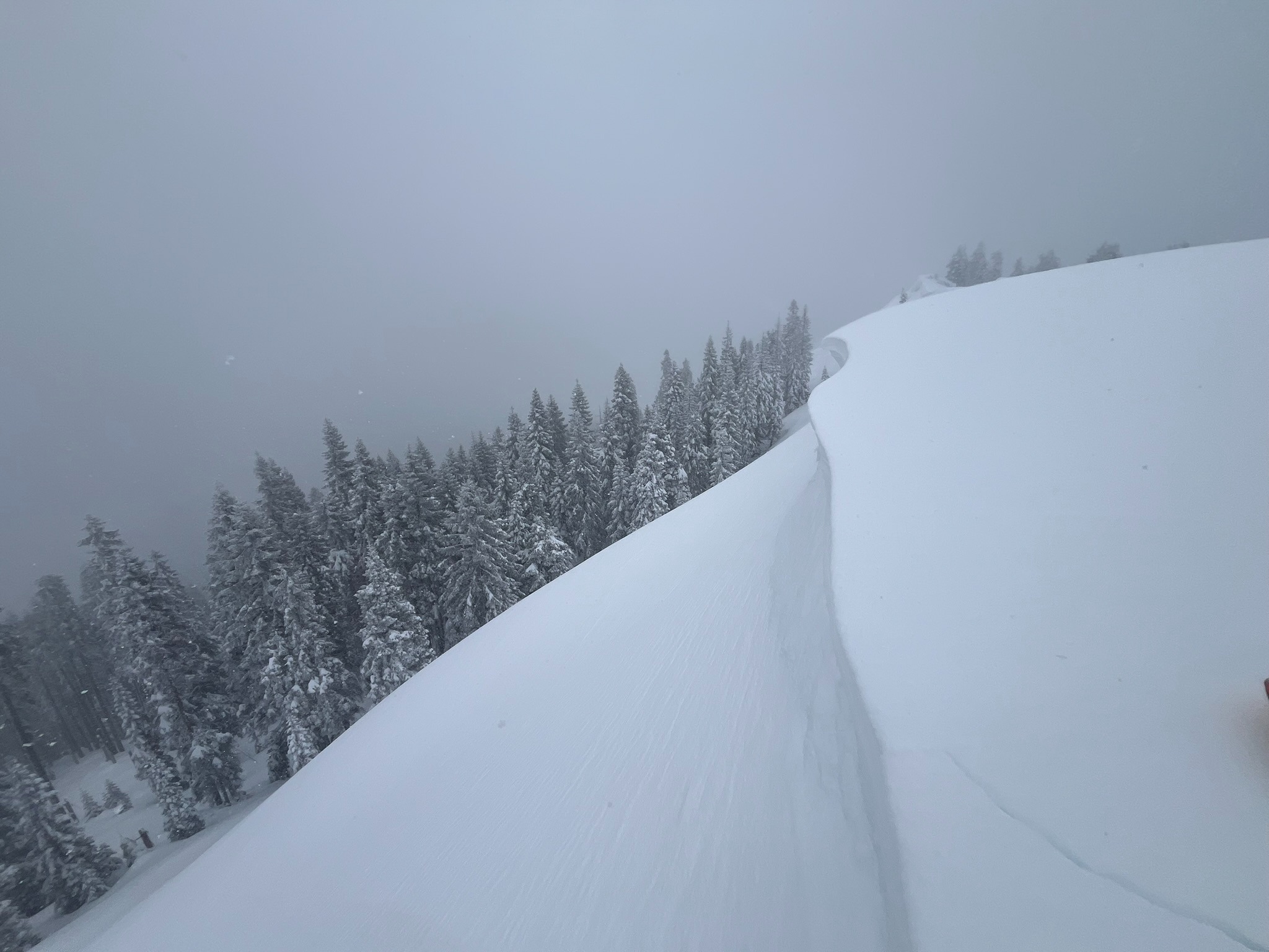
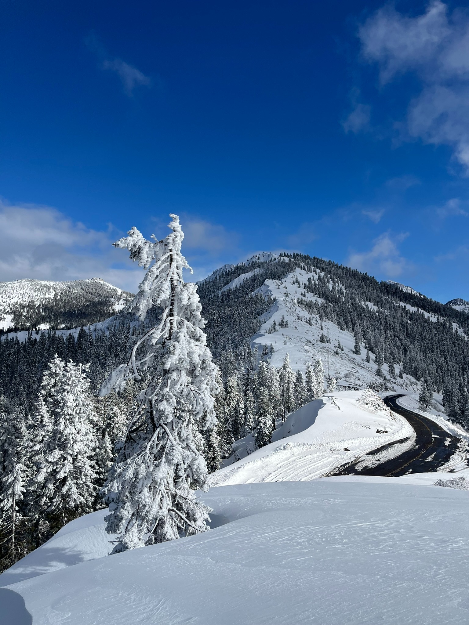
The primary avalanche concern was wind slab avalanches on northerly and easterly aspects, mainly near ridges and on steep, exposed areas. These were easy to trigger with cornice collapses on skis while walking the ridges above. The avalanches slid one to two feet deep and moved fast down the slope. The other concern was lower and down out of the wind, storm slab avalanches. While I did not trigger or witness any, there was enough new snow to trigger an avalanche in steep trees.
I was traveling alone and considering that there was over a foot of new snow, consistent wind, shooting cracks, and easily triggered avalanches I chose to not ski any steep terrain over 30°. The powder was dry and light enough where you didn't need to venture into steeper terrain to have fun out there.
Cracking was specific to wind loaded aspects, mostly east and north-facing, breaking about one foot deep within the new snow. Avalanche was intentionally triggered in a safe zone with a short, steep slope that prevented me from being caught or carried.Weather
- Air Temp
- 20-25
- Cloud Cover
- broken
- Wind Loading
- moderate
- Rain Elevation
- 4,000
- Recent Snowfall
- 35-45
- Snow Avail For Transport
- moderate amounts
Mostly cloudy skies with snowfall and graupel with moderate westerly wind. By afternoon, there were partial breaks in cloud cover with sunshine poking through.