
Quick report
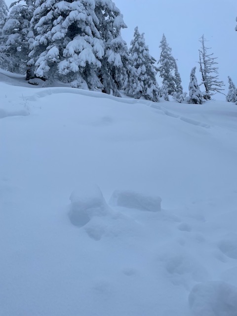
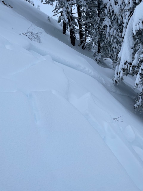
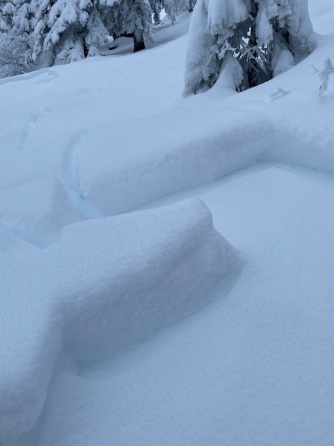
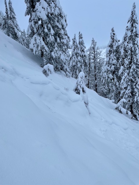
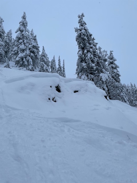
We found multiple small soft slabs that likely failed on Monday (2 days prior). The snow has bonded well since then, and we did not experince any signs on instabilities today.
Weather
- Air Temp
- 20
- Cloud Cover
- overcast
- Wind Loading
- moderate
- Snow Avail For Transport
- moderate amounts
Temperatures remained cold and in the low 20's all day. Skies were mostly, with breaks in the clouds earlier in the tour. Once we got 1/3 of the way from the summit, it was pretty whiteout with low light. Very light snowfall for most of the day, accumulating to just a trace.
Snowpack
Now that we are a few days post storm, the snowpack showed significant signs of healing. The rain crusts that exist in the snowpack all appeared to be decomposing, but did see facets above and below at 6,300ft. The depth of snow increased substantially between 5,000'-5,500'. Avergae height of snow at 5,000'= 60-90cm, 5,500'=140cm, 6,000'=145cm, and a more wind loaded area at 6,300'=180cm. No propagation in pit tests.
Avalanche
- Size
- D1
- Type
- SS
- Aspect
- E
- Trigger
- N
- Elevation
- 5500 ft
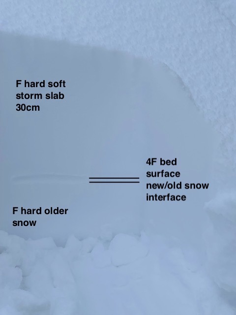
Witnessed around 7-8 small soft storm slab avalanches in an East facing drainage at 5,500ft. The avalanches were not connected, but were all in close proximity. Average slope angle was 40 degrees, and they all had a crown height of around 30cm. The bed surface appeared to be a graupel/rimed precip layer that had a density of 4F and developed in the very beginning of the storm. The storm slab on top was F hard, and the graupel layer had F hard snow below it.