
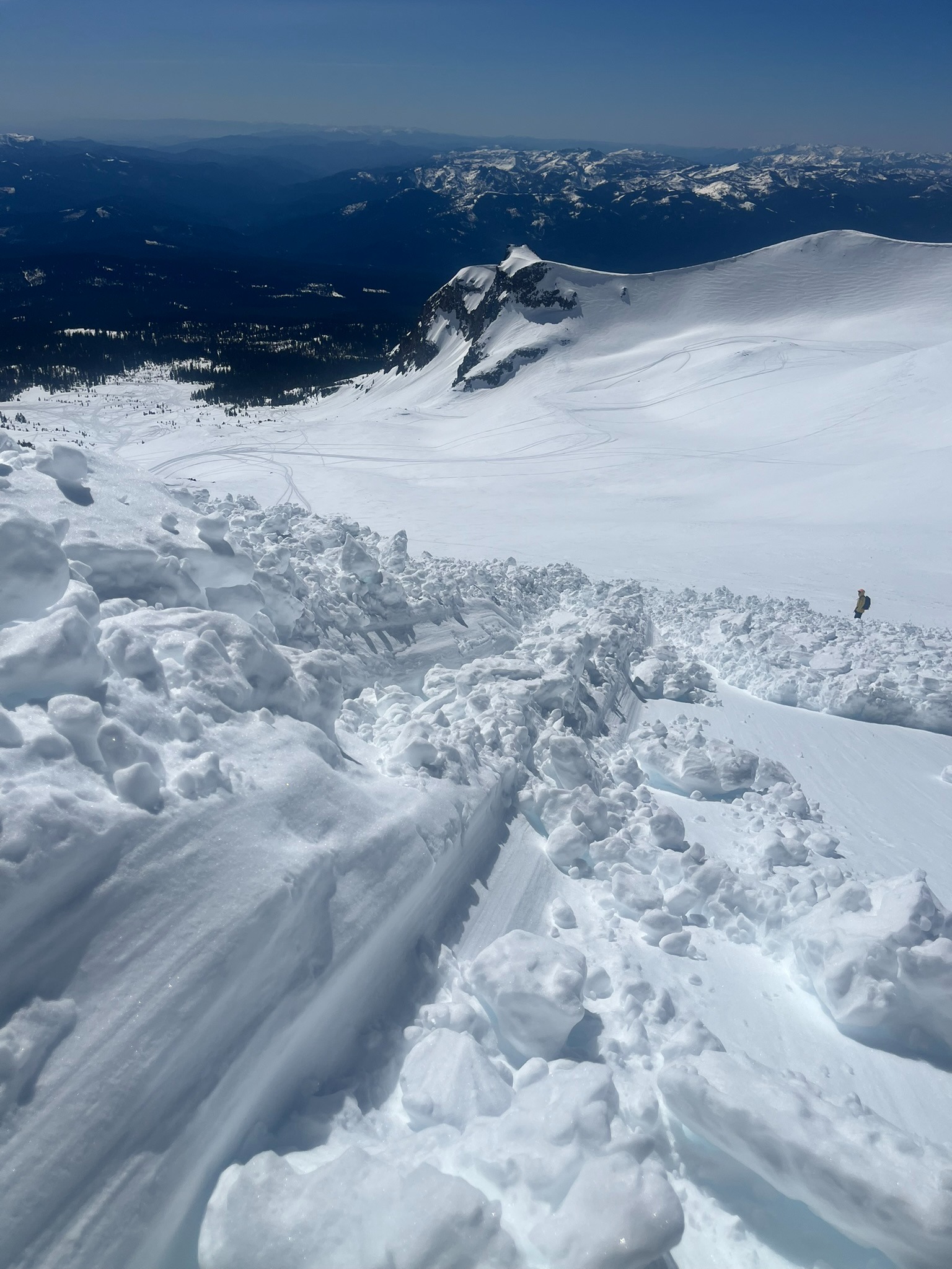
Quick report
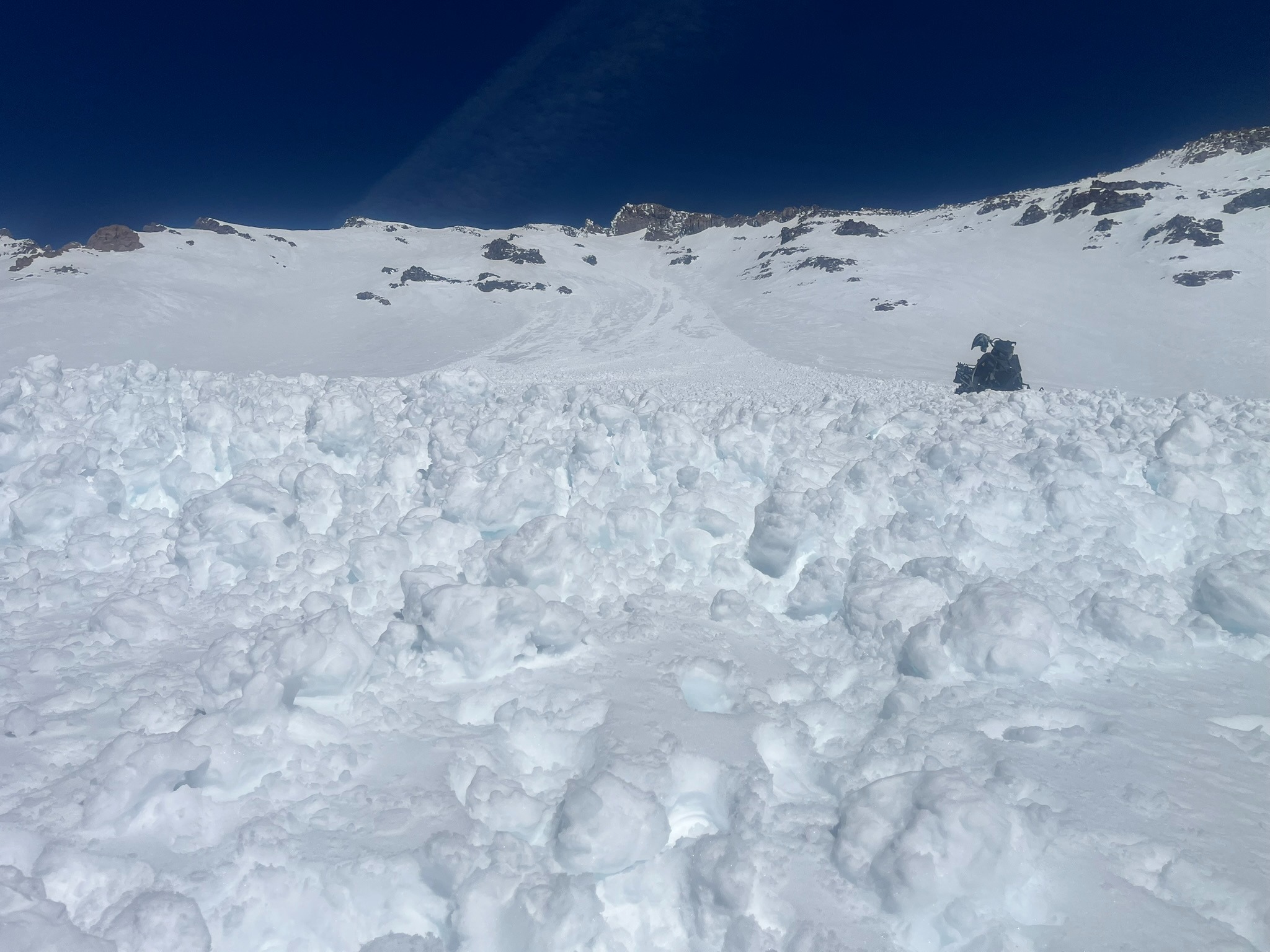
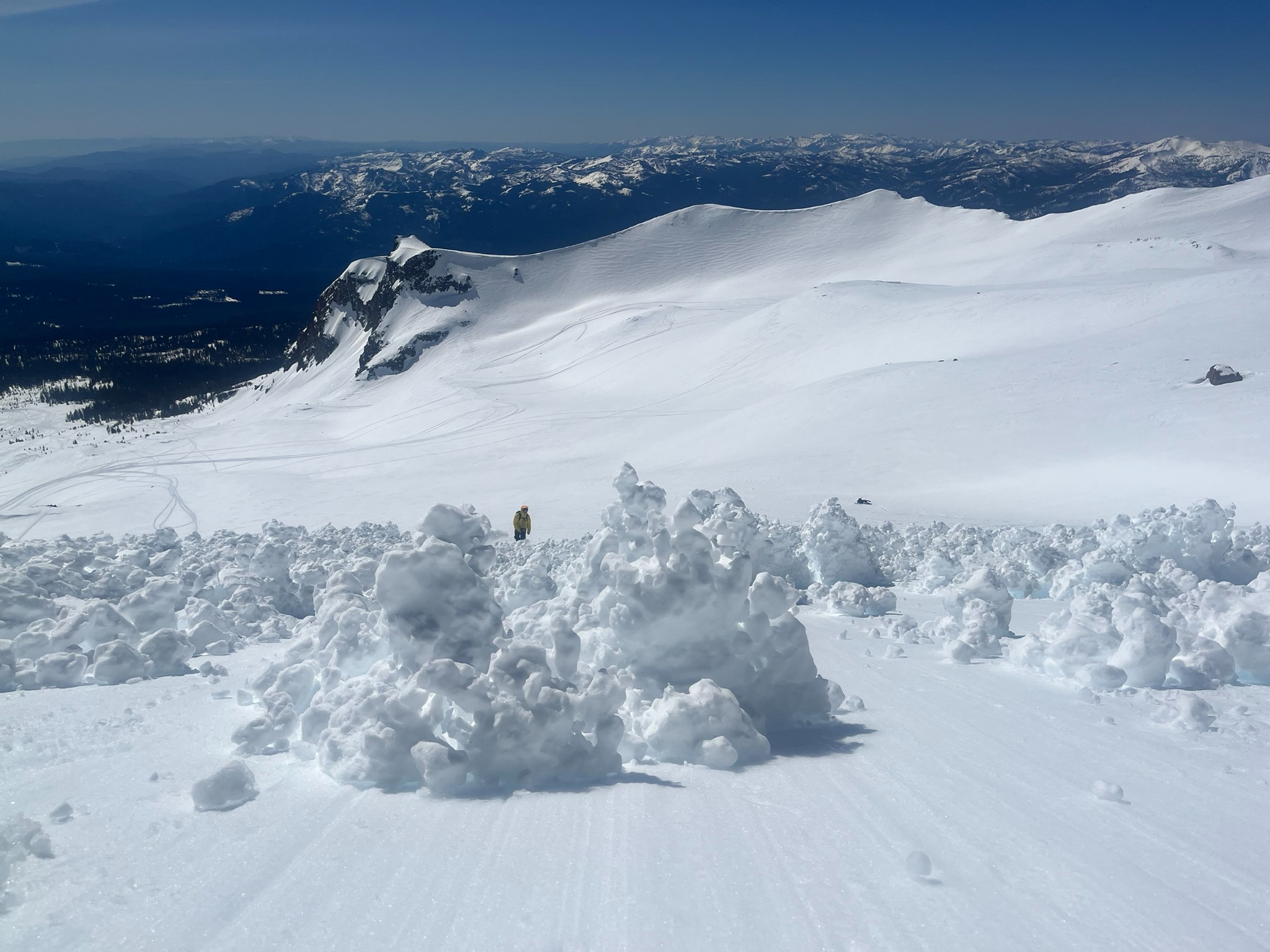
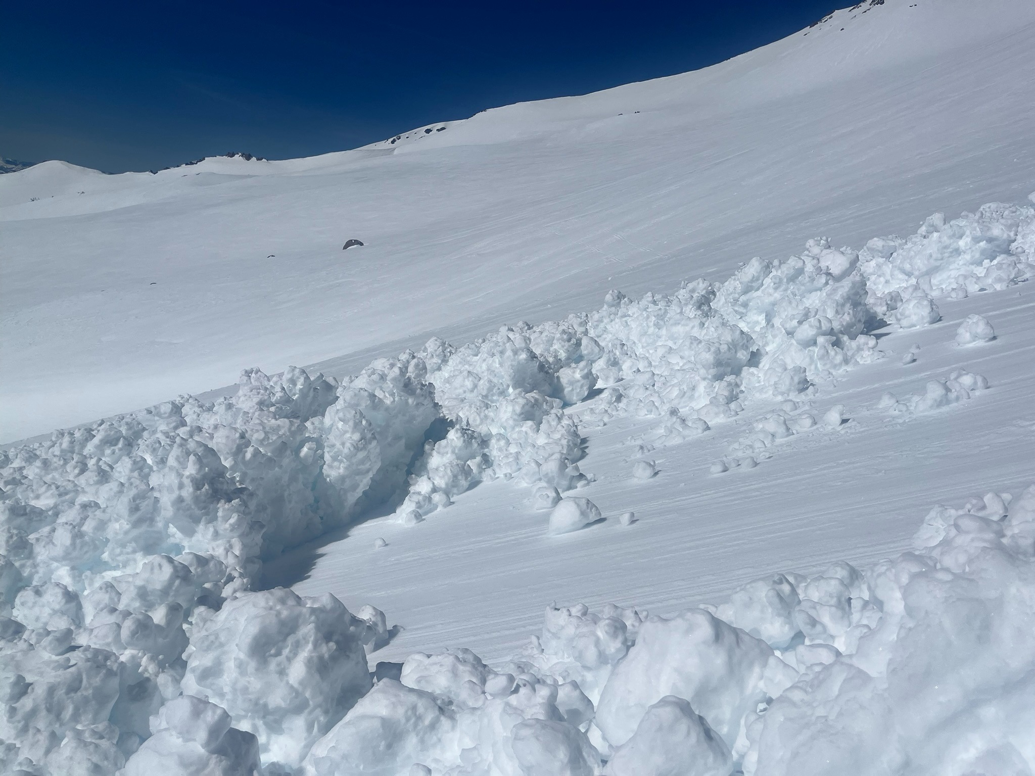
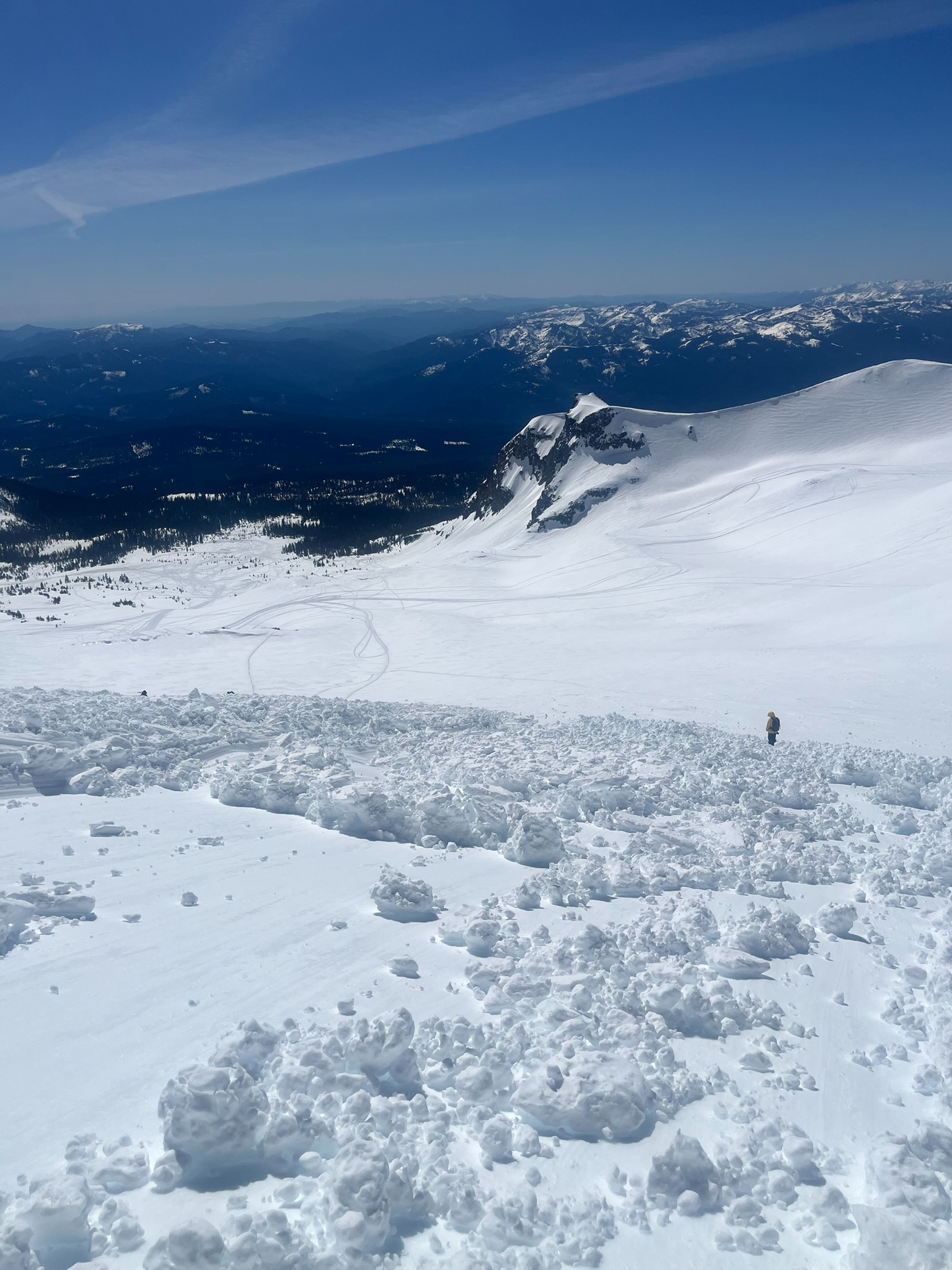
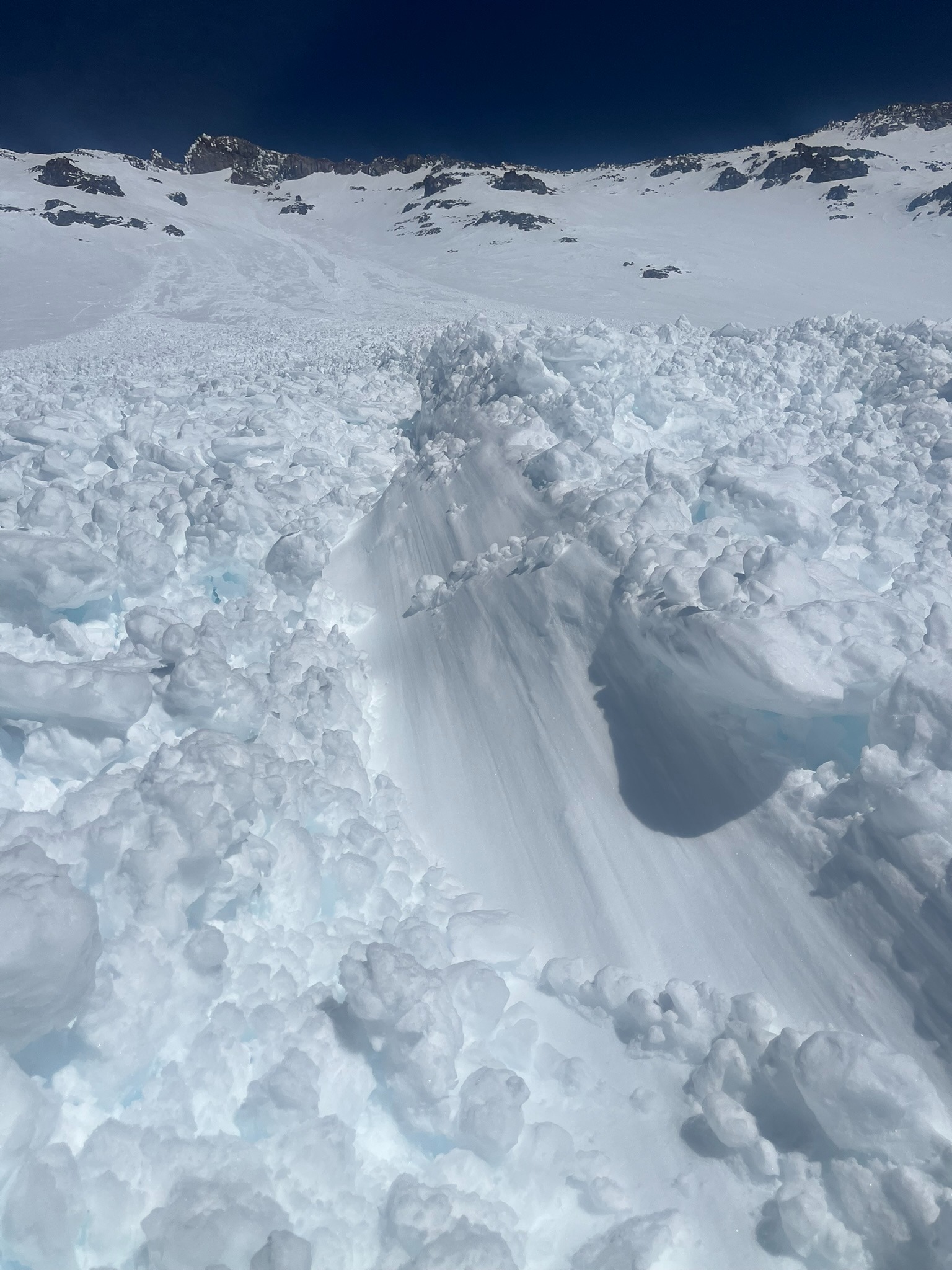
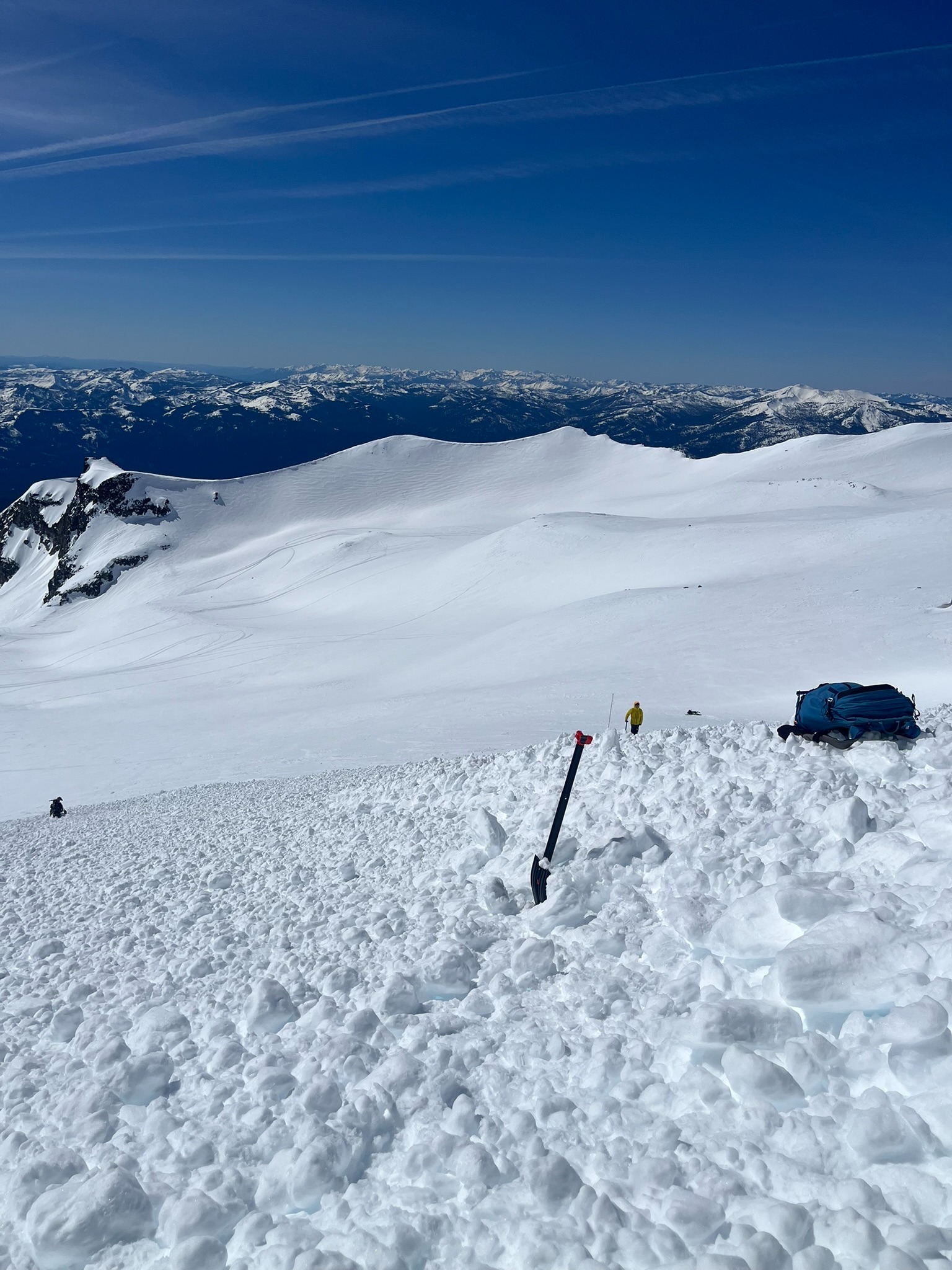
Yesterday we received a public observation from a skier that triggered a wet slab avalanche below Shastarama. Today, Sam and I made a trip out to further investigate. We found several characteristics that define it as a wet slab avalanche including: chunks of debris up to the size of microwaves that scoured down into the bed surface, deposition piles up to 100 centimeters deep, and, in particular, a crown line that stitched together multiple rock features and extensive propagation. This indicates a slab avalanche triggered by warming because the rocks absorbed energy from the sun and transmitted that heat to the surrounding snowpack, introducing meltwater that trickled out and triggered the weak layer of faceted snow grains beneath a shallow, yet firm slab.
This was a D2 avalanche, which is large enough to bury a person. The debris field measured 1.75 acres with three-fourths of that measuring over three feet deep. While we had not forecast this problem, we expected to see wet loose avalanches. You manage both these problems in the same way. If the snowpack has refrozen overnight, you can reduce your risk by traveling early in the day or on colder slopes where surface crusts are strong and supportive to your weight. Otherwise, conservative terrain selection is prudent during significant warm-ups, especially when a poor snow structure or buried persistent weak layer first transitions from dry to very wet.
It's not always easy to share your near-misses, but by sharing this information with your backcountry community, it helps everyone learn how to stay safer out there and improves the accuracy of our forecasts.
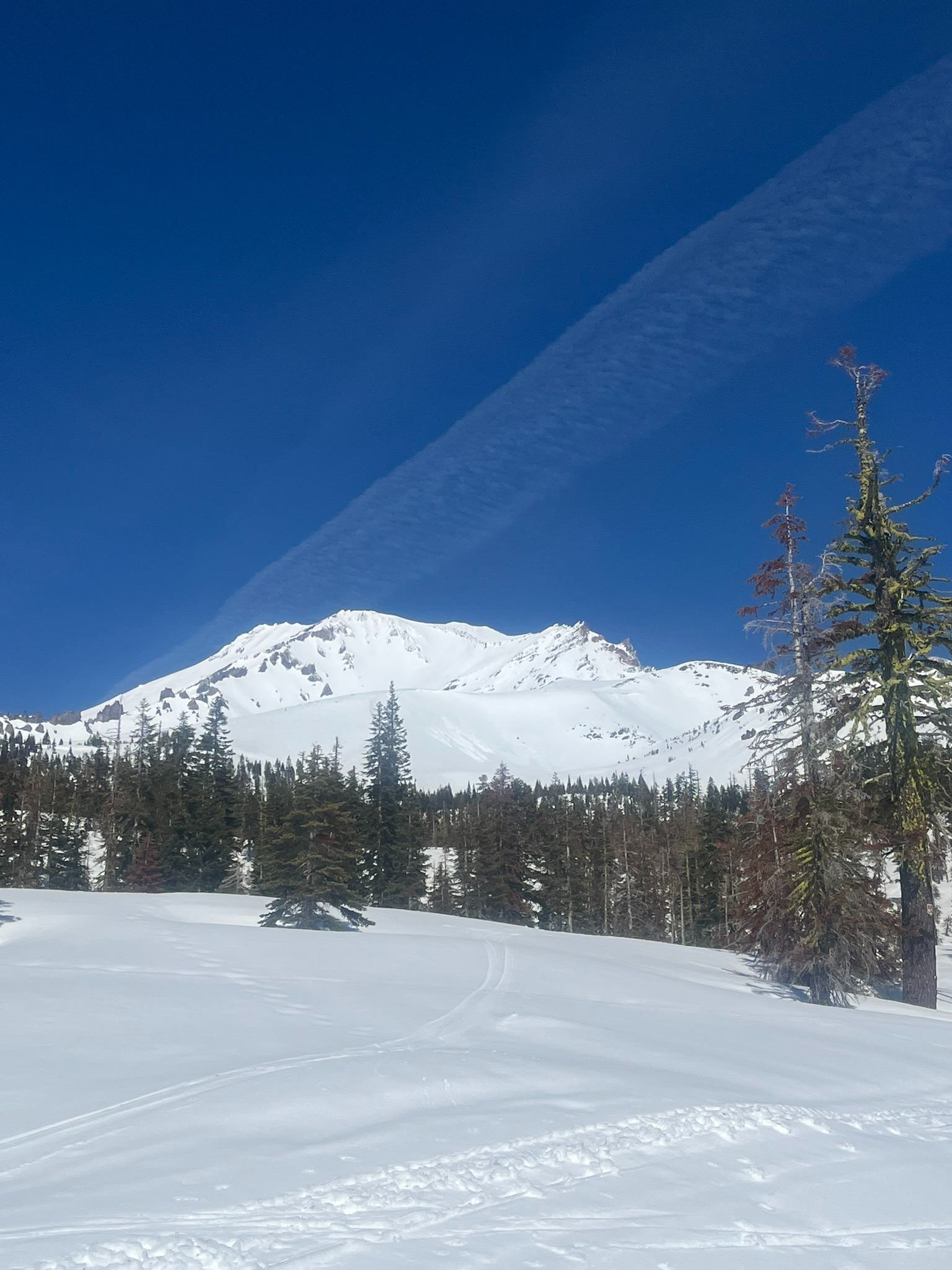
Beyond the avalanche investigation, we found very wet snow surfaces below, near, and above the treeline on the Southside of Mount Shasta. We observed wet loose instabilities as small avalanches and roller balls on several south-facing aspects near and above the treeline.
Tomorrow will be slightly cooler, with partly cloudy skies and breezy south wind. This weather will help reduce wet instabilities in the snowpack.
We witnessed several small (D1) wet loose avalanches on southerly aspects of Green Butte, Yellow Butte, and Red Butte. Roller balls were also a present sign of instability on all steep south -facing terrain.Weather
- Air Temp
- 40-45
- Cloud Cover
- clear
- Wind Loading
- previous
- Rain Elevation
- N/O
- Recent Snowfall
- N/O
- Snow Avail For Transport
- none
Sunny with calm northwest wind. Mountain temperatures climbing into the 40s.
Snowpack
On March 5th, the wind packed fresh snow into firm slabs in some areas above the treeline. Beneath these slabs that vary in depth from two to six inches deep, there is a layer of small (two millimeter) faceted crystals. This is a weak layer of snow because its angular structure prevents it from bonding to the surrounding layers of snow. This is a recipe for an avalanche. Ahead of Tuesday night's incoming storm, we'll be studying the distribution of this layer throughout the forecast area and its sensitivity to loading as it could become a problem with the added weight of new snow.
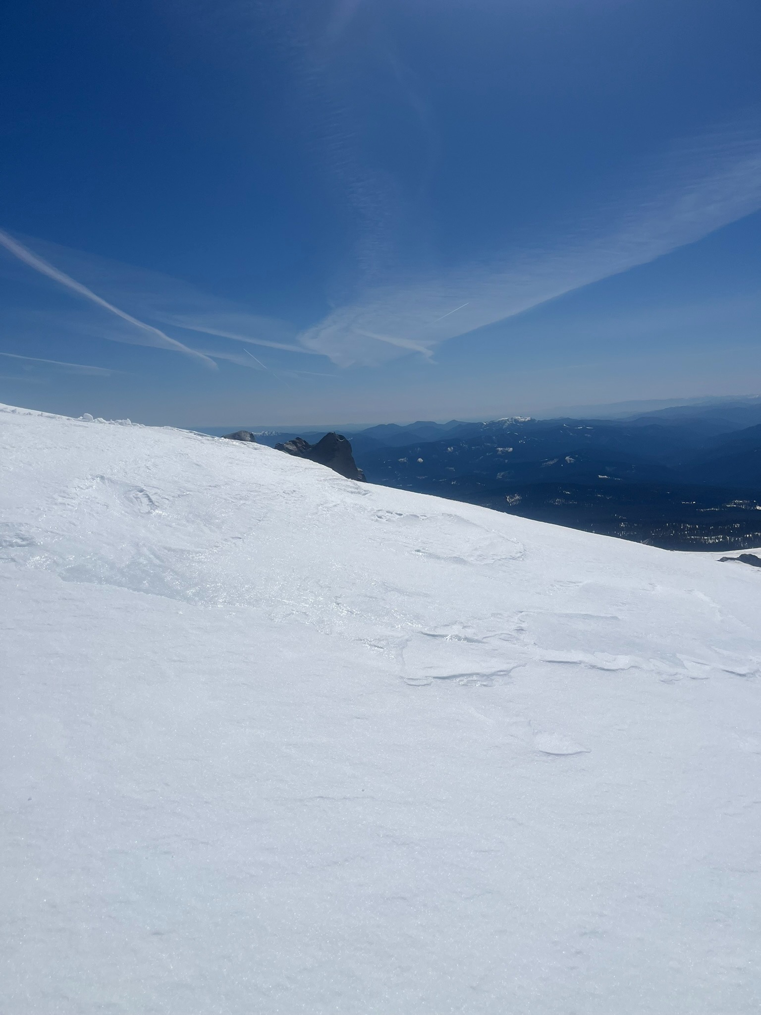
While most surfaces a soft and damp, there is a melt-freeze crust forming on windward, shaded, and or high-elevation terrain. We found most areas with this surface to soften quickly under the sun today. Tomorrow, with cooler temperatures and breezy conditions, this process will be slower, so you may encounter more icy surfaces out there in the days to come.
Avalanche
- Public observation of large skier triggered wet slab avalanche yesterday (see attached) - Today, small wet loose avalanches on steep, south facing aspects near and above the treeline - All recent avalanches share a common trait: wet and sun/heat induced