
Quick report
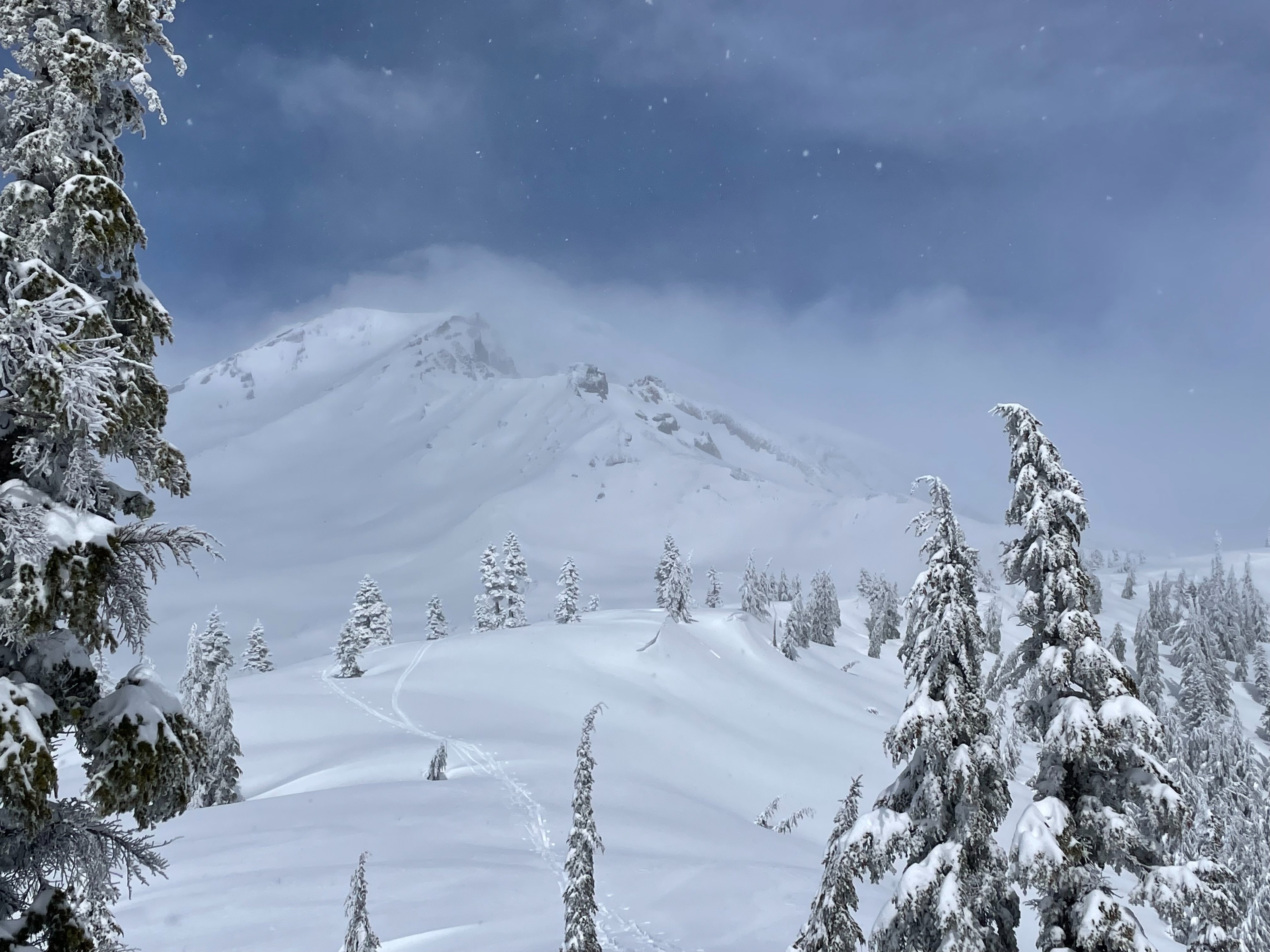
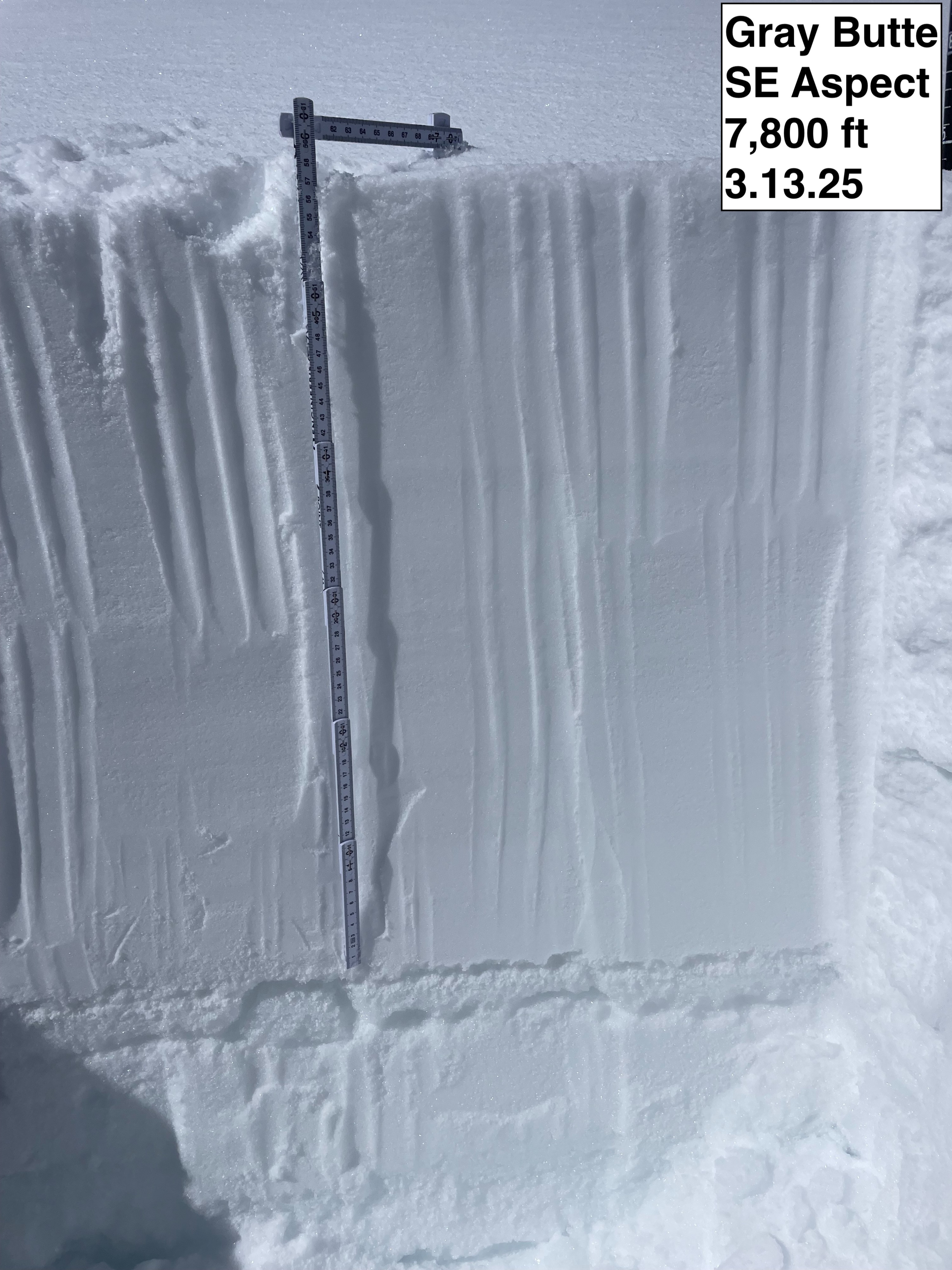
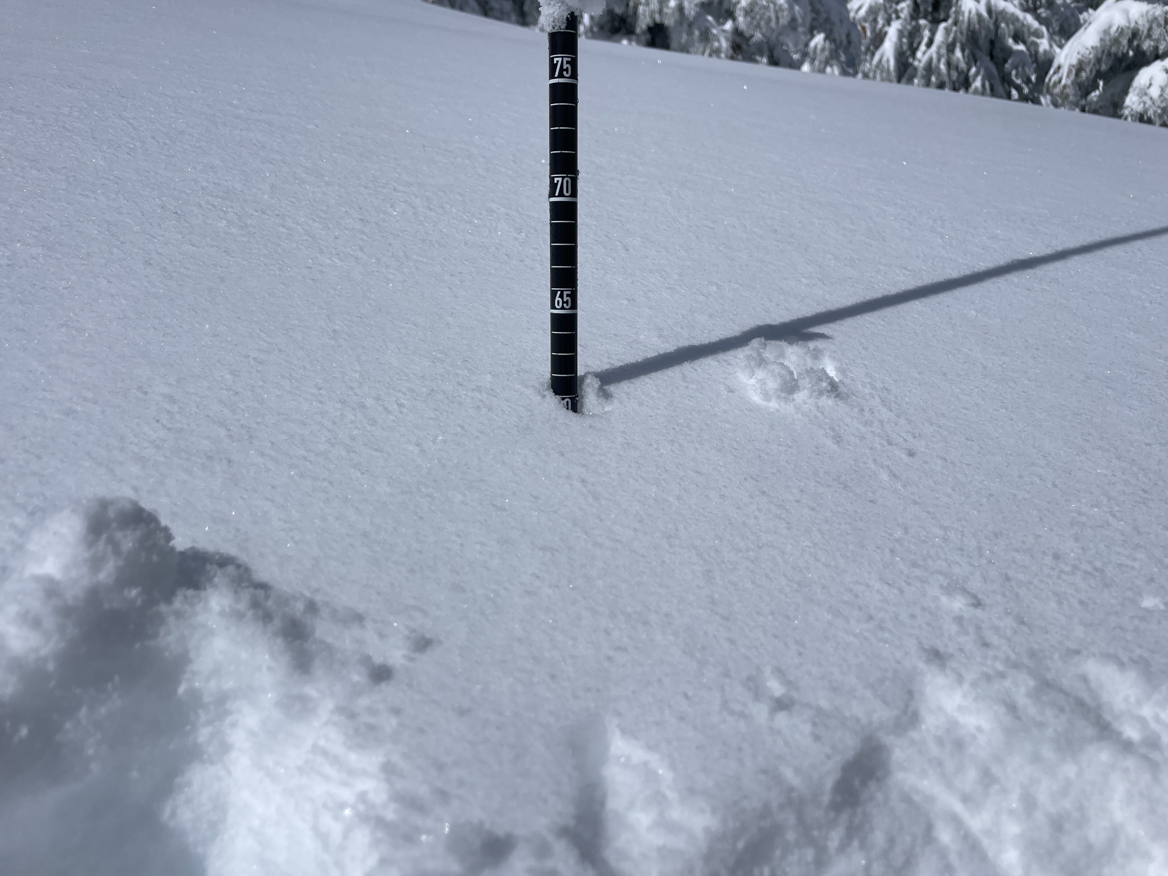
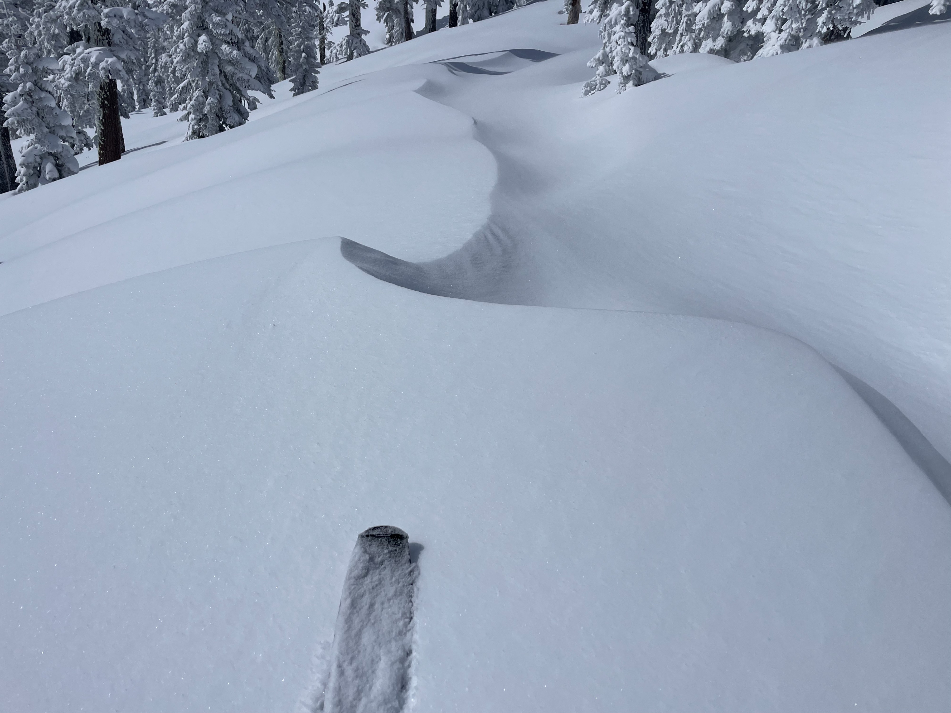
Today, I made my way to Gray Butte in search of wind slab development and lingering storm snow instability. Two feet of dry, loose, and relatively dense new snow was found throughout the area. Northerly aspects held wind loaded slopes near ridges and large terrain features. No natural avalanches were observed.
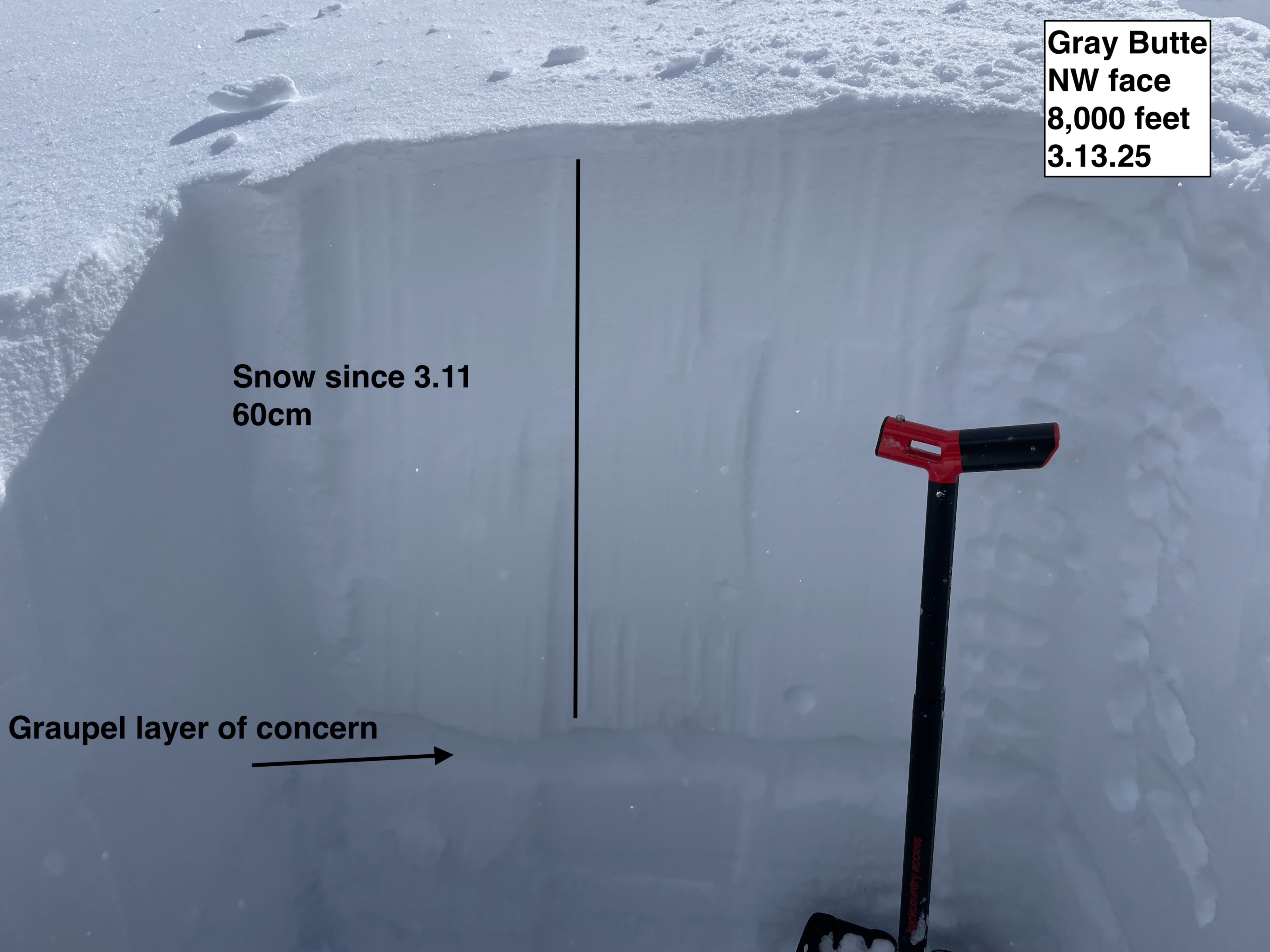
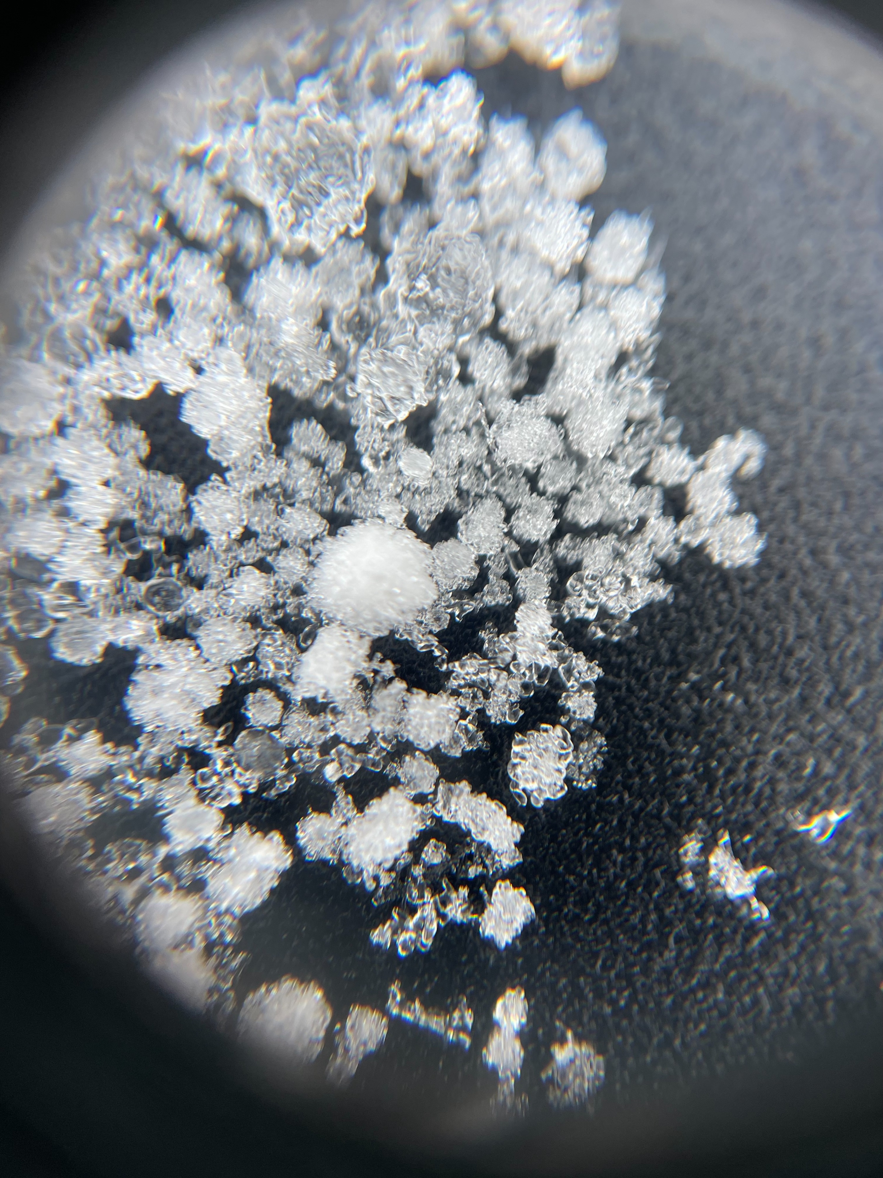
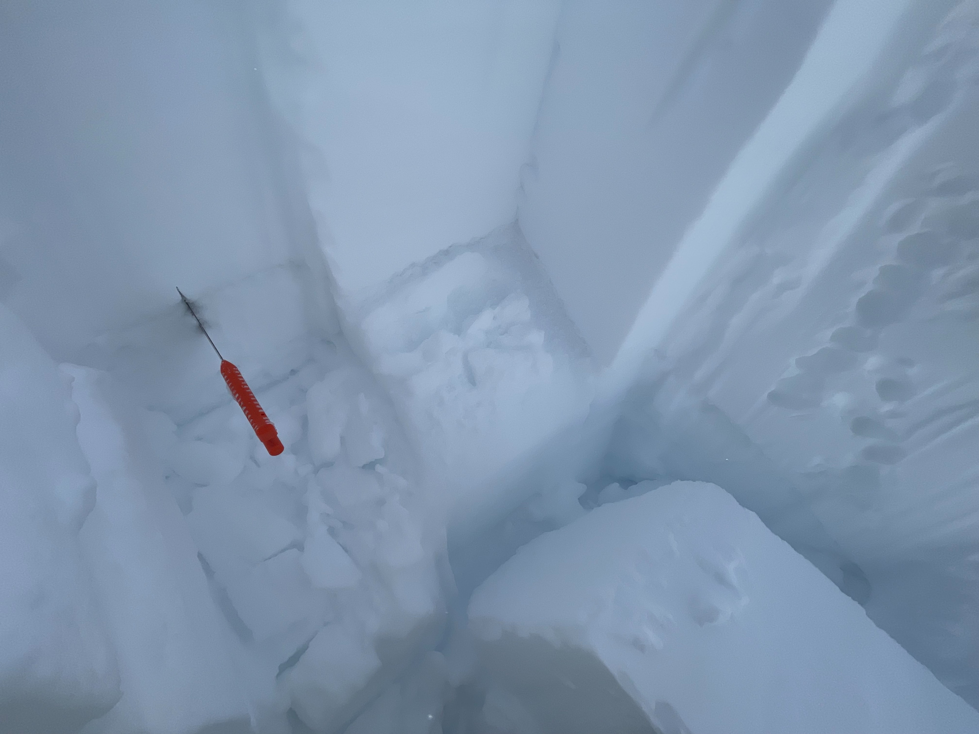
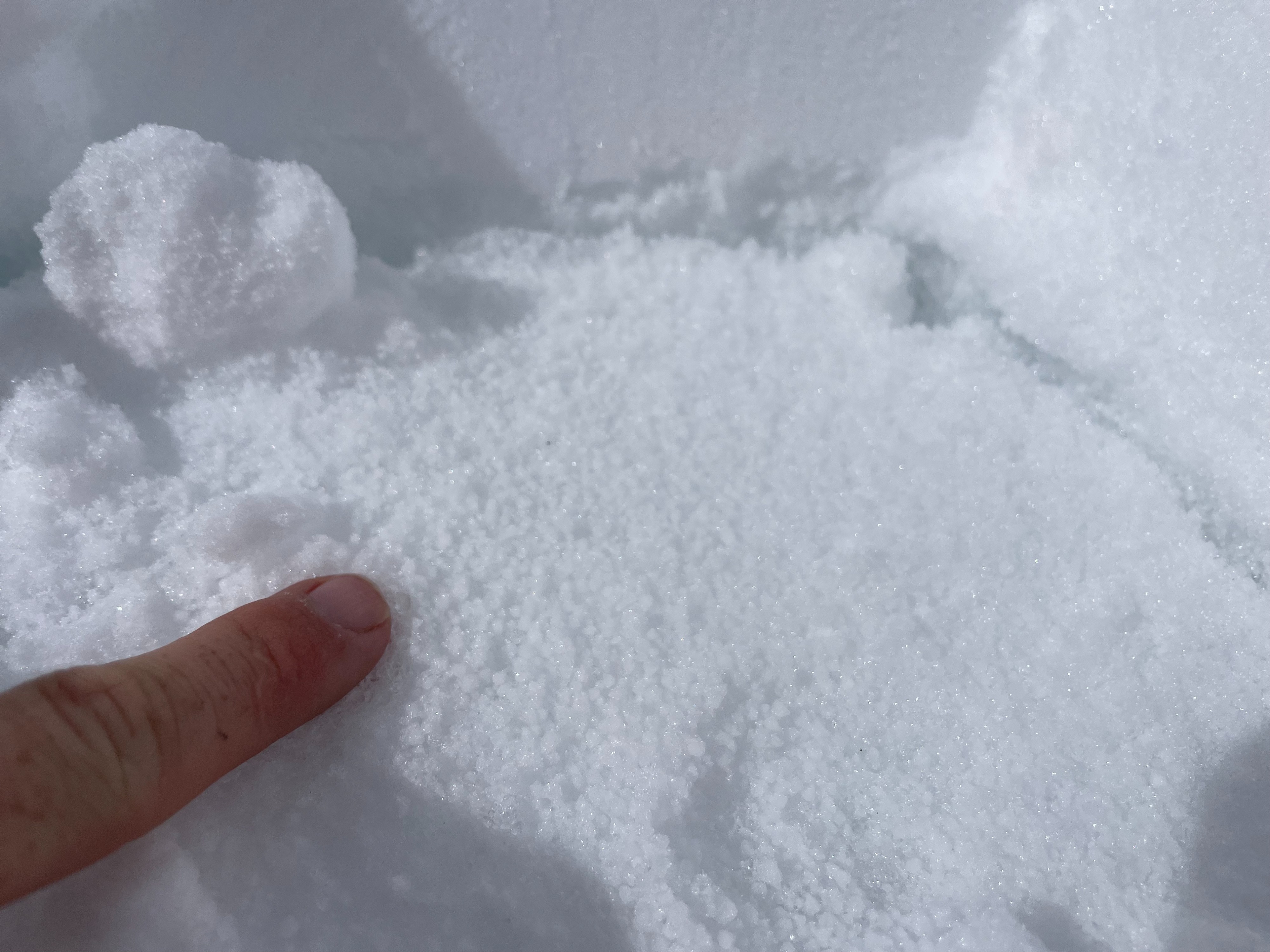
A 1-2 cm layer of loose graupel exists just below yesterday's new snow. This layer was identified across NW-W-SW-S-SE aspects in the Gray Butte area. Upon ECT in multiple locations, this layer failed and propagated cleanly (SP) around tap 21. This layer could be an issue over the coming days, as new snow and more weight is added to the snowpack. Careful assessment of the snowpack will be crucial through the next storm cycle.
Despite receiving two feet of snow in the last 30 hours, no significant signs of avalanche activity were observed today. However, the ingredients were there: wind loaded slopes, rapidly added new snow, weak grains under the new snow. Today, I stayed out of slopes greater than 30 degrees.Weather
- Air Temp
- 25
- Cloud Cover
- scattered
- Wind Loading
- light
- Rain Elevation
- 3,000
- Recent Snowfall
- 60
- Snow Avail For Transport
- large amounts
To start the day, skies were obscured by low clouds and light snowfall. By noon, clear skies would come and go, with much of Mount Shasta in direct sunlight. Temperatures stayed below freezing until returning to the Mount Shasta Ski Park parking lot. Light wind blew out of the west.
Snowpack
New Snow: Two feet of new snow have accumulated around the Gray Butte area. For the most part, the snow is dense, dry, and loose. Ski penetration on the walk-up was around 6 inches. The new snow is right side up (4f to F hard), with some denser surface snow in areas due to wind loading.
Graupel Layer: A 1-2 cm thick layer of graupel (2-4 mm) exists at the new-old snow interface. This layer was identified on NW-W-SW-S-SE aspects of Gray Butte. Upon tests, this layer showed reactivity and propagation. This could be an issue over the coming days with more snow on the way.
Wind Loading: Wind loaded slopes are specific to north facing terrain, rear ridges and open slopes. On Gray Butte, dense wind loaded snow extended up to 100 feet down slope from the summit ridge. No cracking or failure was observed on this wind loaded snow. That being said, I stayed out of avalanche terrain, and especially wind loaded slopes.
Overall, the snowpack above 7,500 feet is 11 feet or more.