
Quick report
- Cracking
- isolated
Nice to see the fresh snow in the mountains versus rain. The December 19 crust is quickly weakening below and needs to be at the forefront with more snow load, additional drifting, or the next rain event. With such shallow snowpack depths and cold air temperatures, the snowpack as a whole is faceting. Certain layers are faceting quicker than others and we identified several layers/ interfaces that could rear their head and produce a large avalanche.
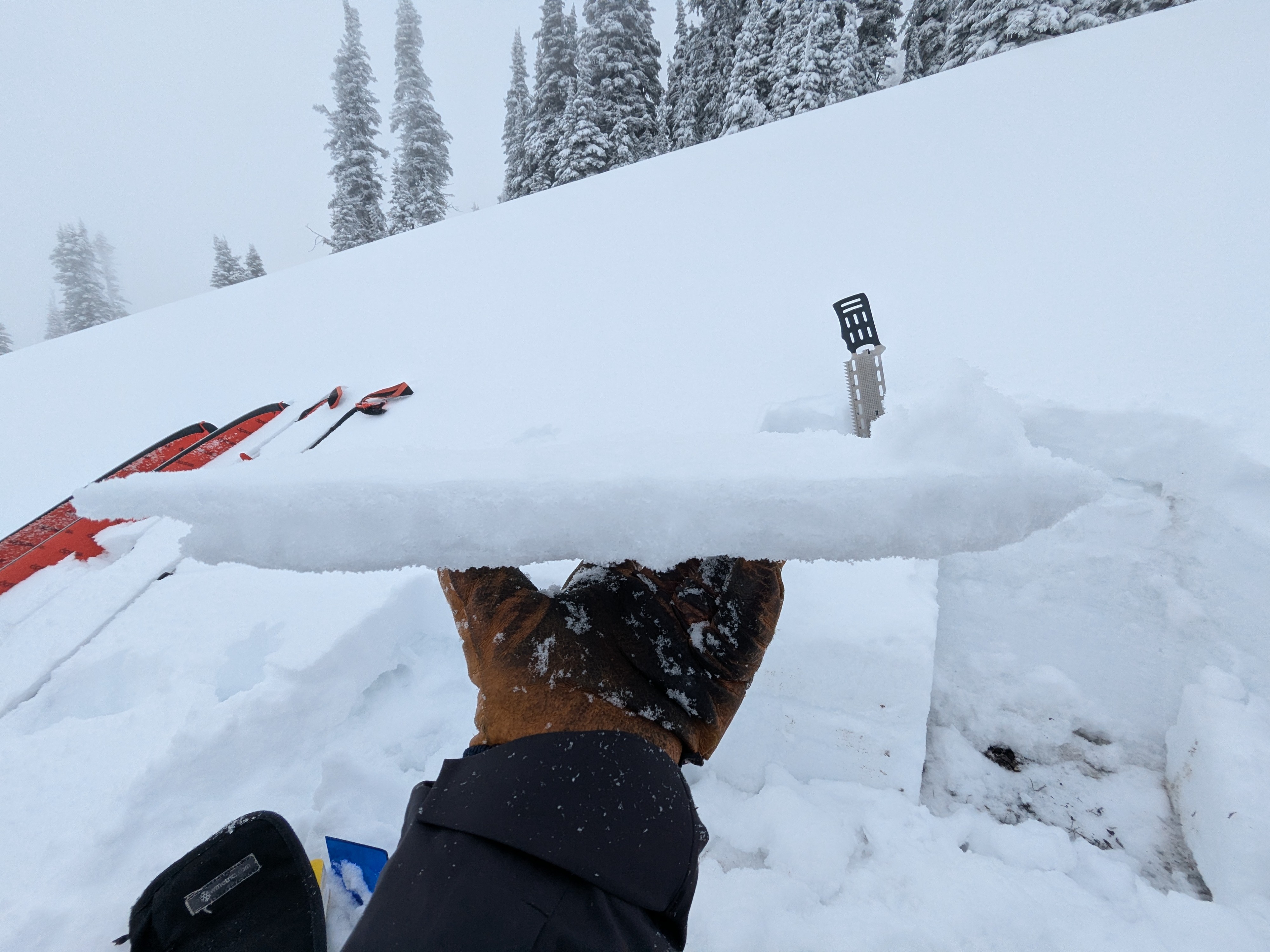
We easily cracked and crumbled the Dec 19 rain crust. This allowed the new snow on top to crack along our skin track.Weather
- Cloud Cover
- obscured
- Wind Loading
- light
- Recent Snowfall
- 12
- Snow Avail For Transport
- moderate amounts
Obscured skies and fog along ridges around 6,000 feet and above. Once we descended below 6,000 feet, we could see toward the valley bottoms on west side.
Snowpack
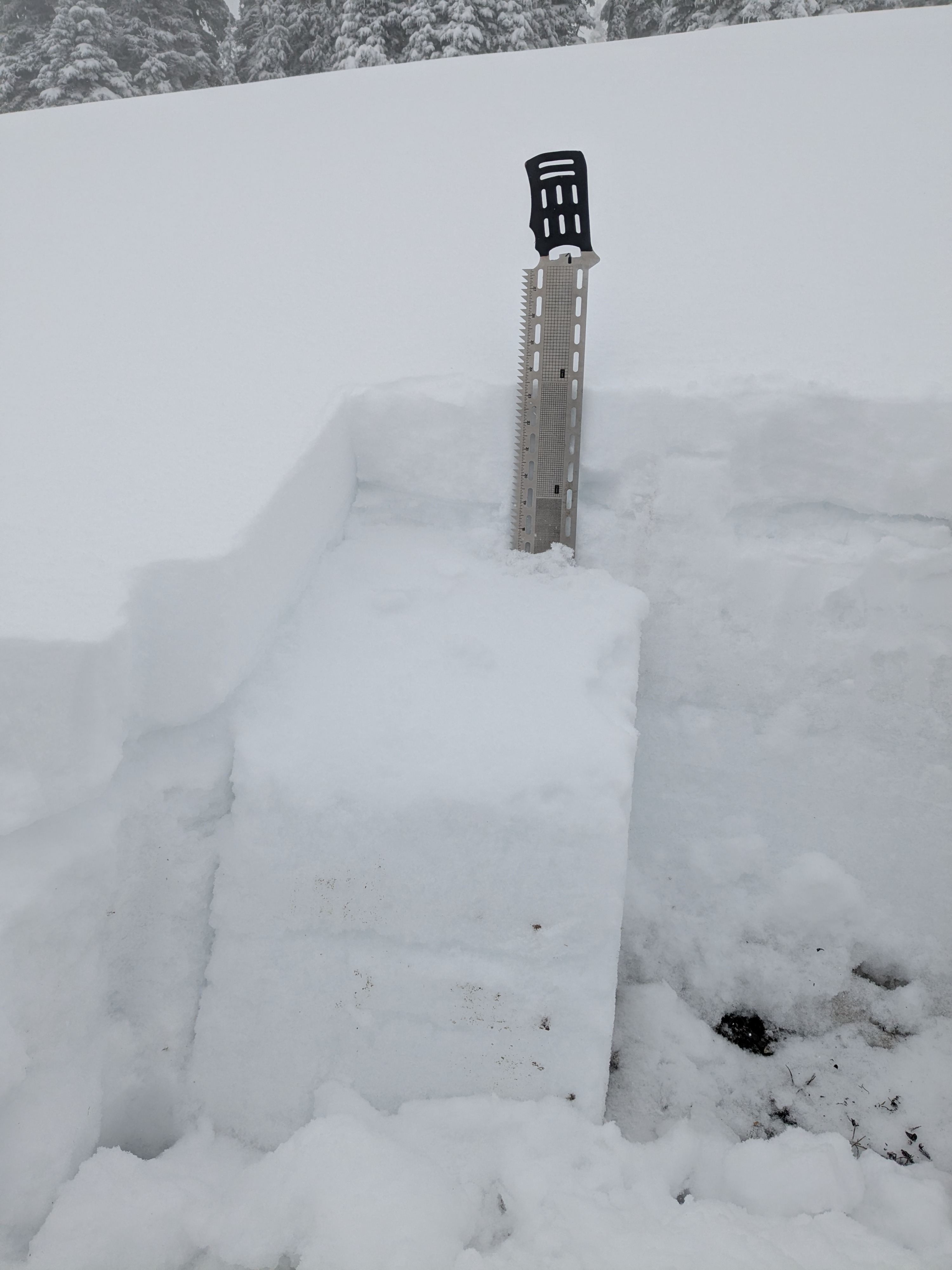
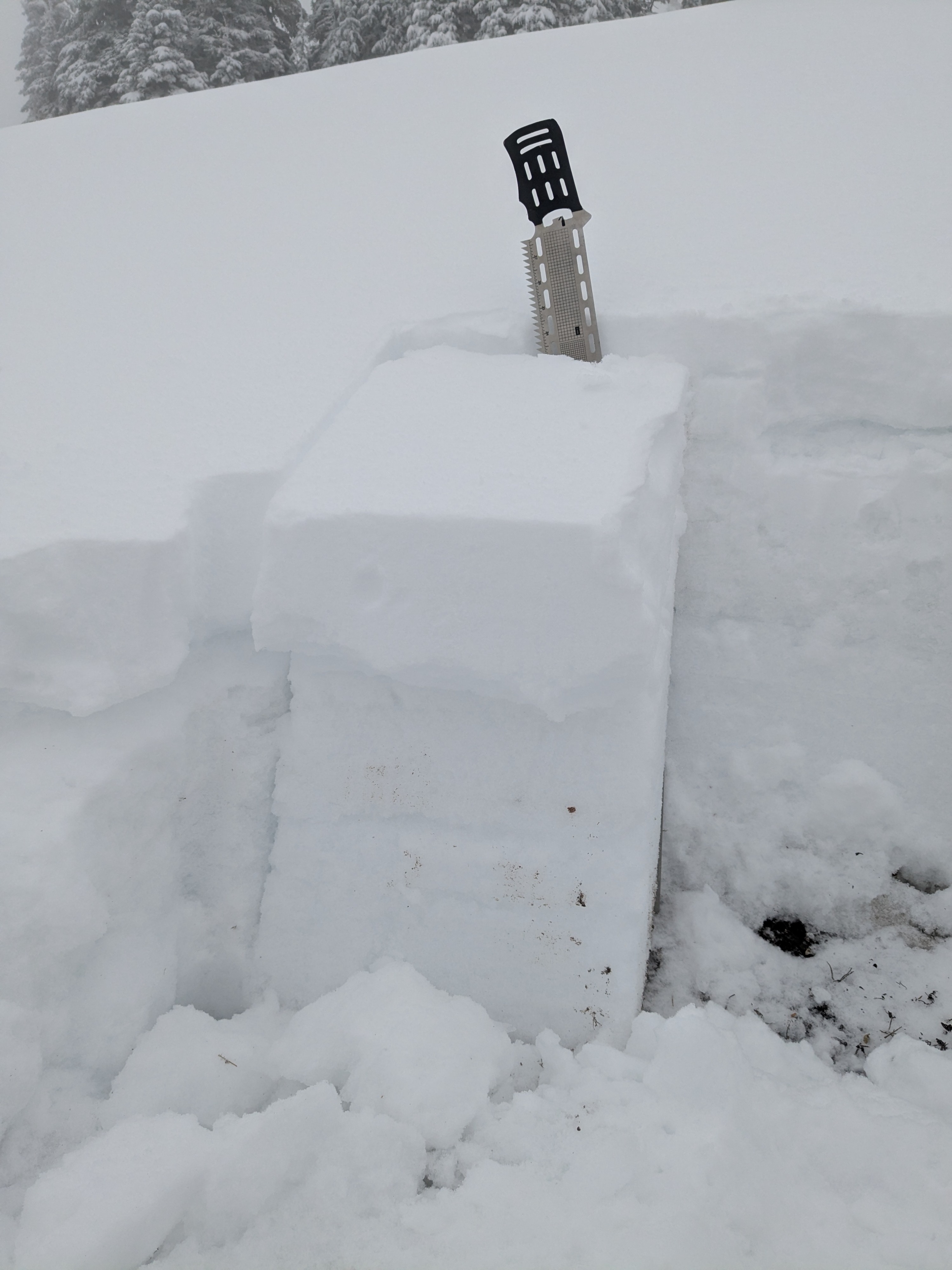
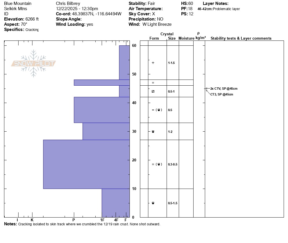
During tests, the December 19 rain crust failed with half cut isolation x 2 and CT SP with 3 wrist taps in the third test. This occurred on a northeast aspect around 6,300 feet. Advanced faceting noated below this crust, and those grains were 4F- hardness. Pretty much the entire snowpack showed evidence of faceting. HS at our pit location was 60 cm. This same rain crust extended up in elevation to our top spot around 6,600 feet. Some of the concerning layers we identified today may take a month or two worth of snow load to become more reactive.
Avalanche
None observed