
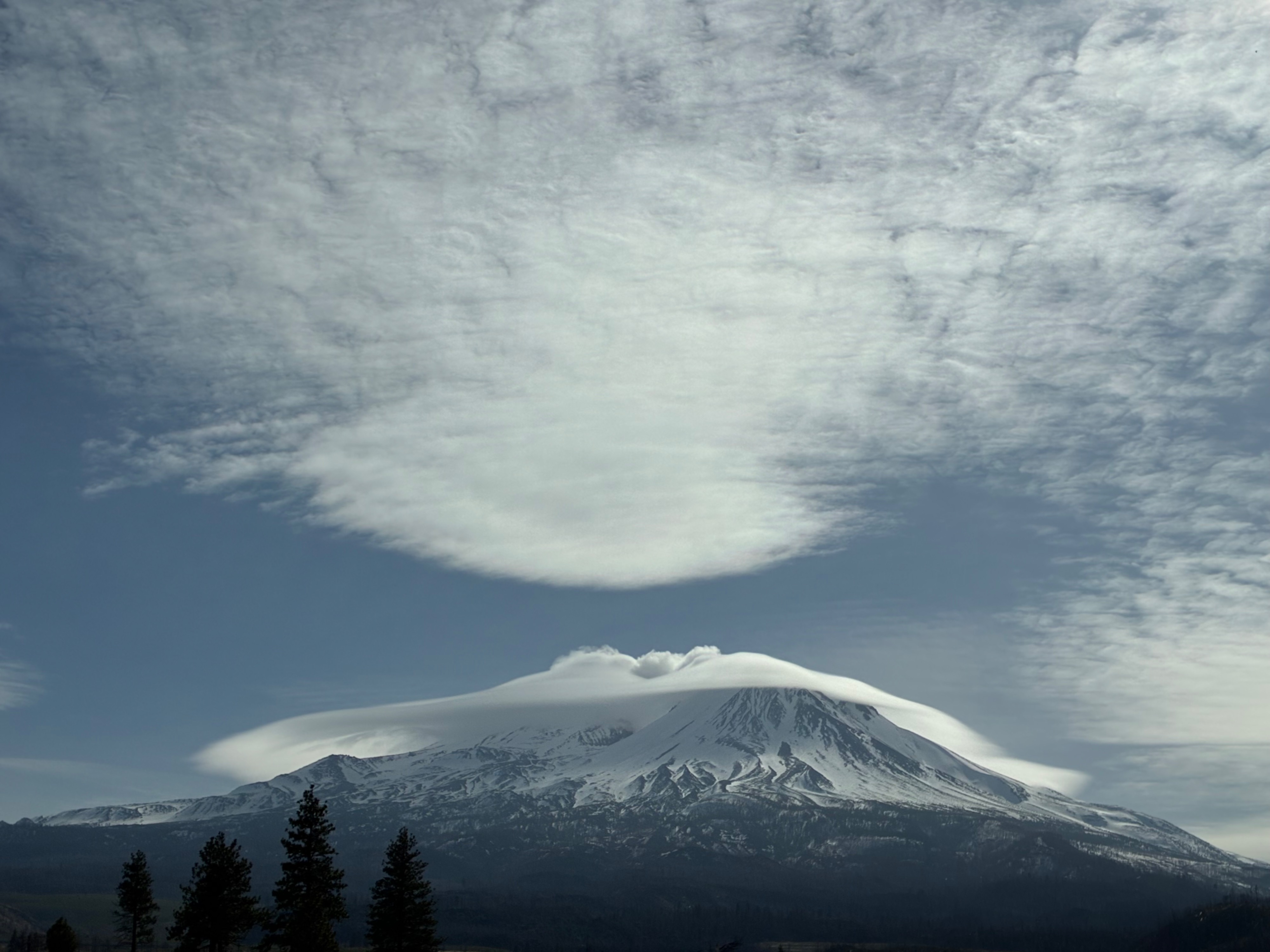
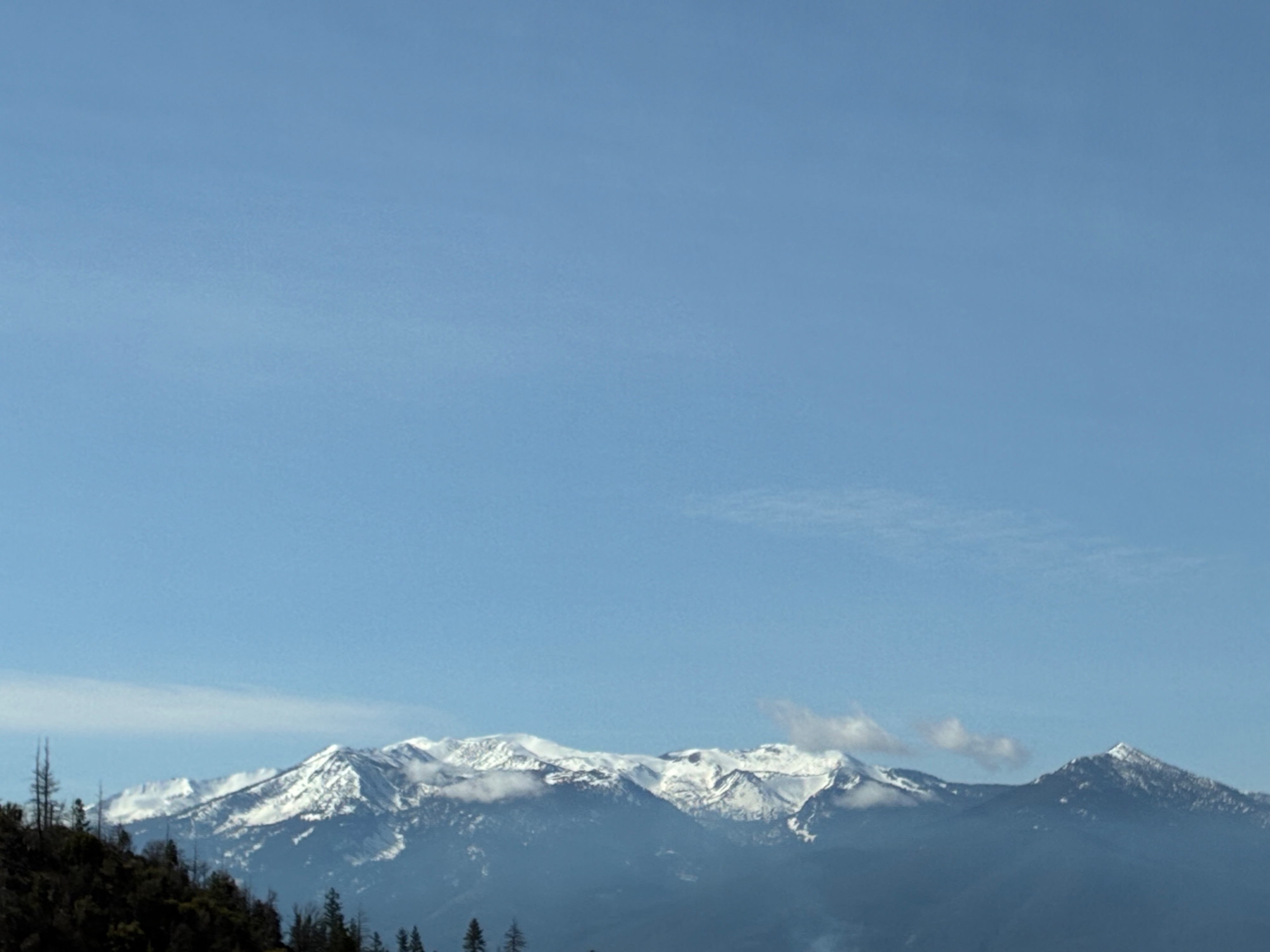
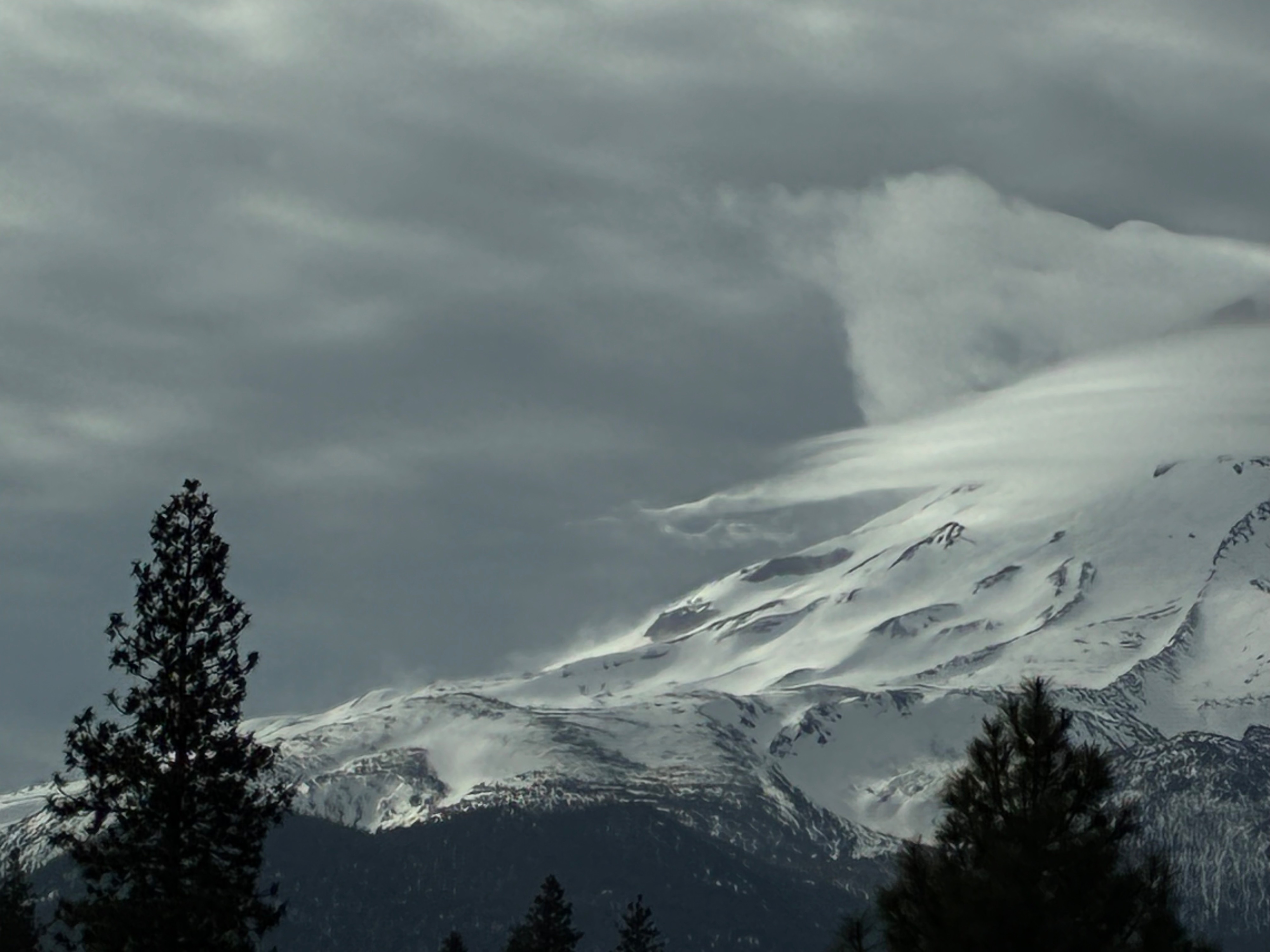
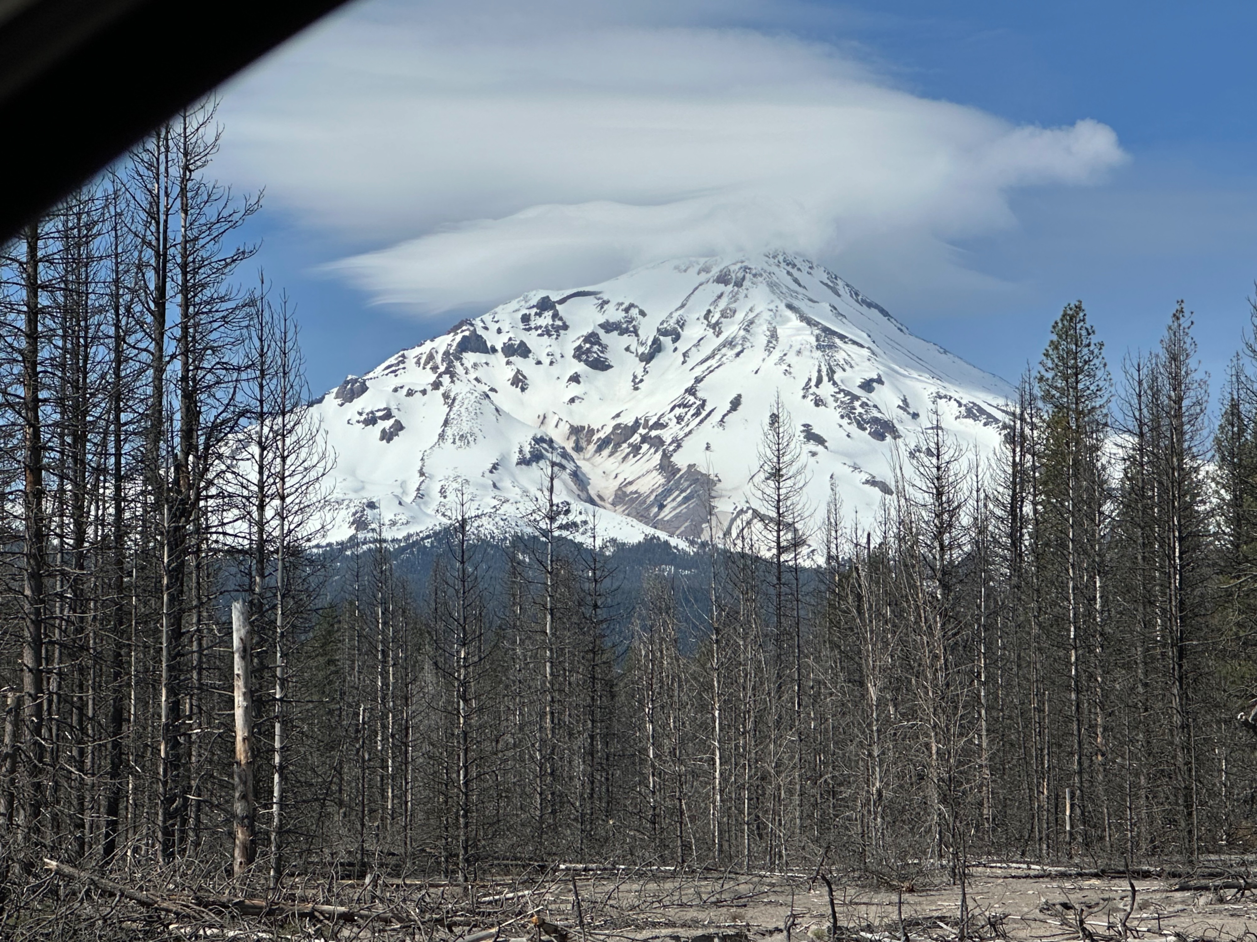
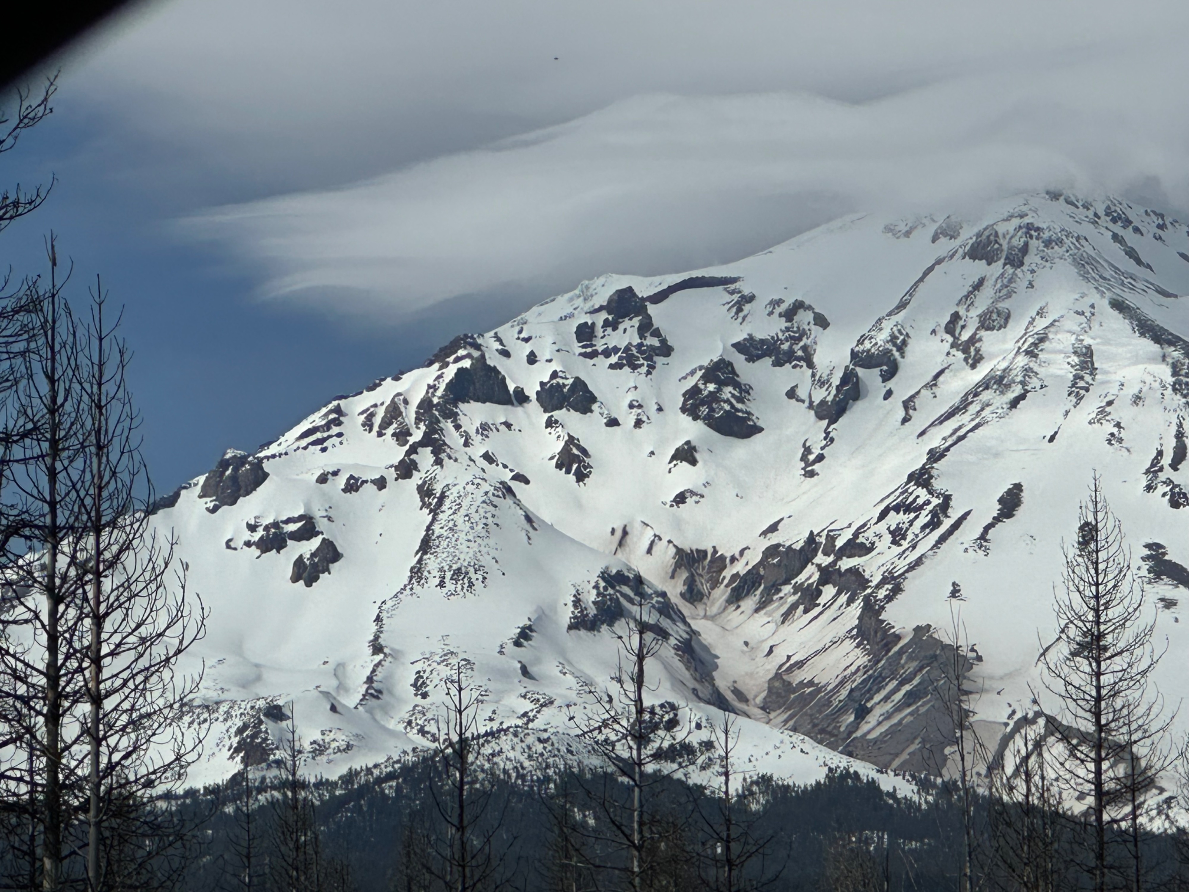
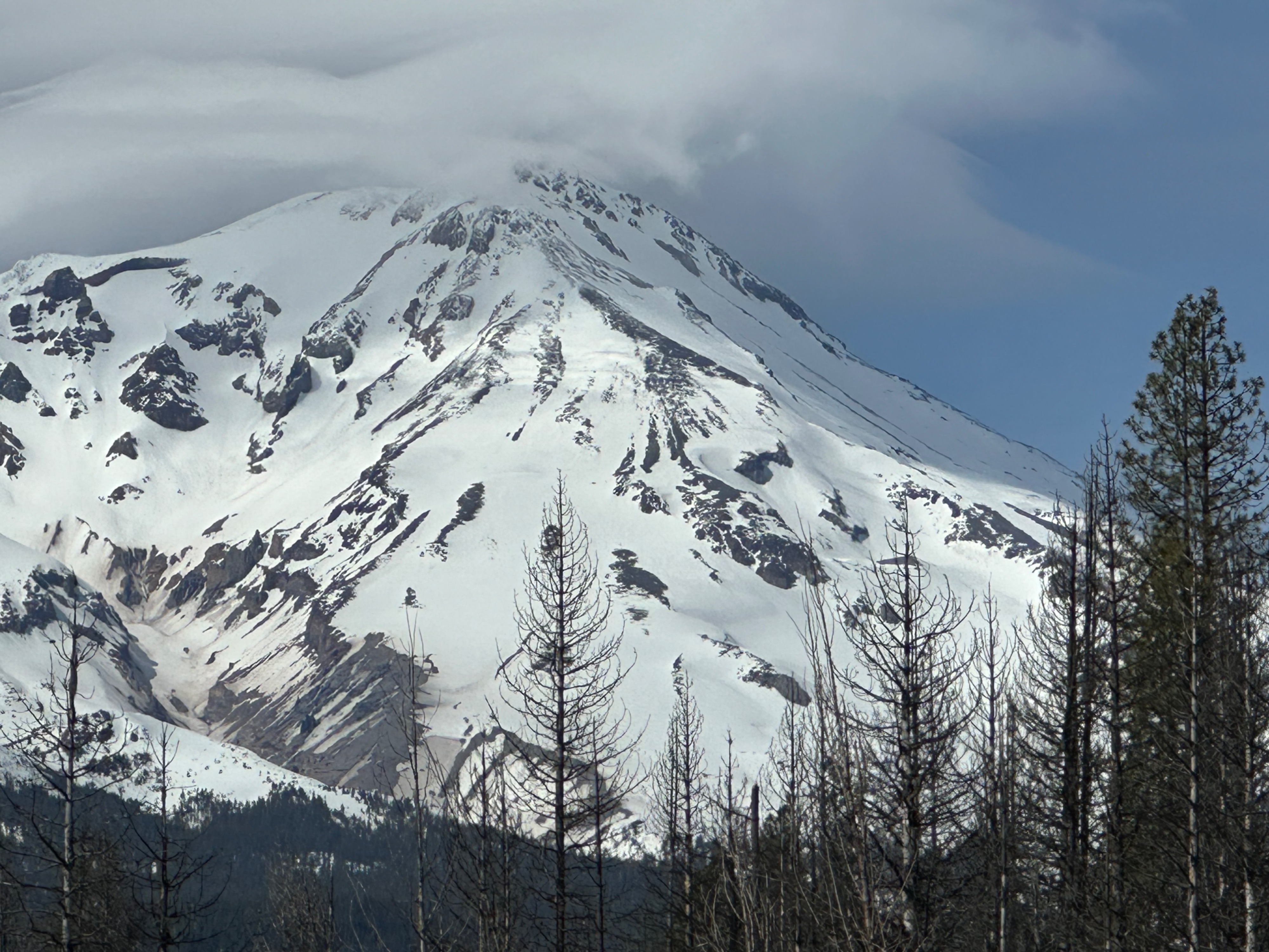
Quick report
North and east side trailhead access update:
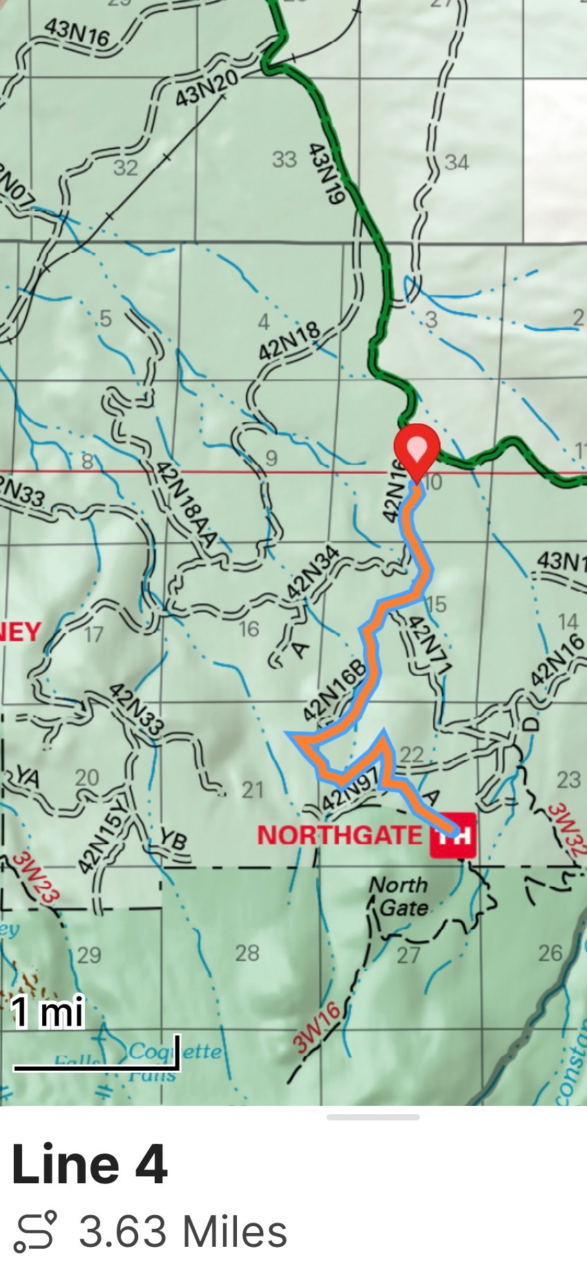
Northgate: As of March 10th, you can drive within about 3.6 miles of the trailhead approaching from Highway 97. Roads beyond this point are covered in snow.
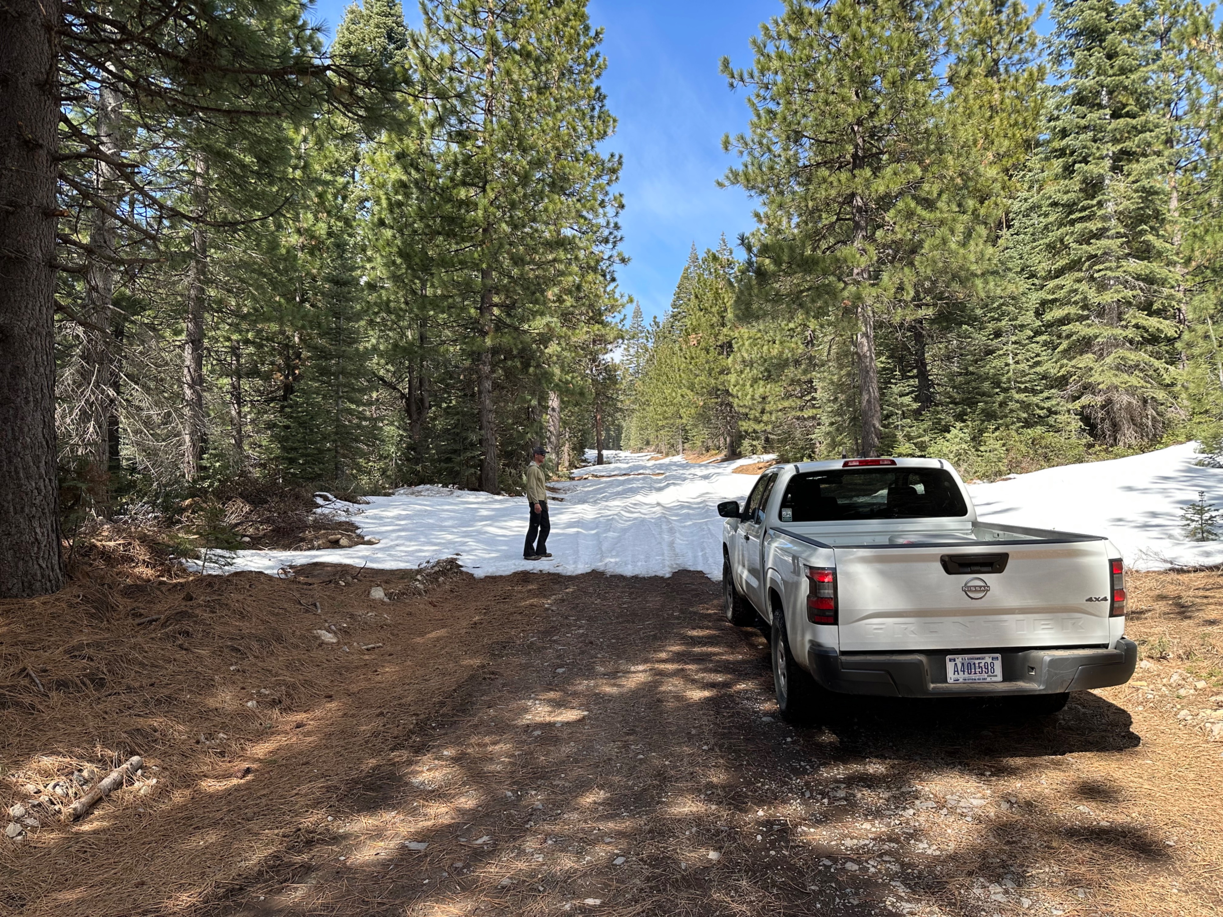
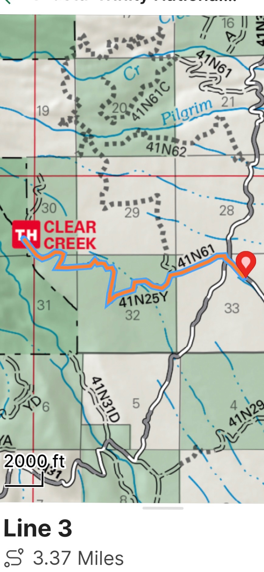
Clear Creek: As of March 11th, you can drive within about 3.3 miles of the trailhead approaching from Highway 89. The road beyond this point is covered in snow.
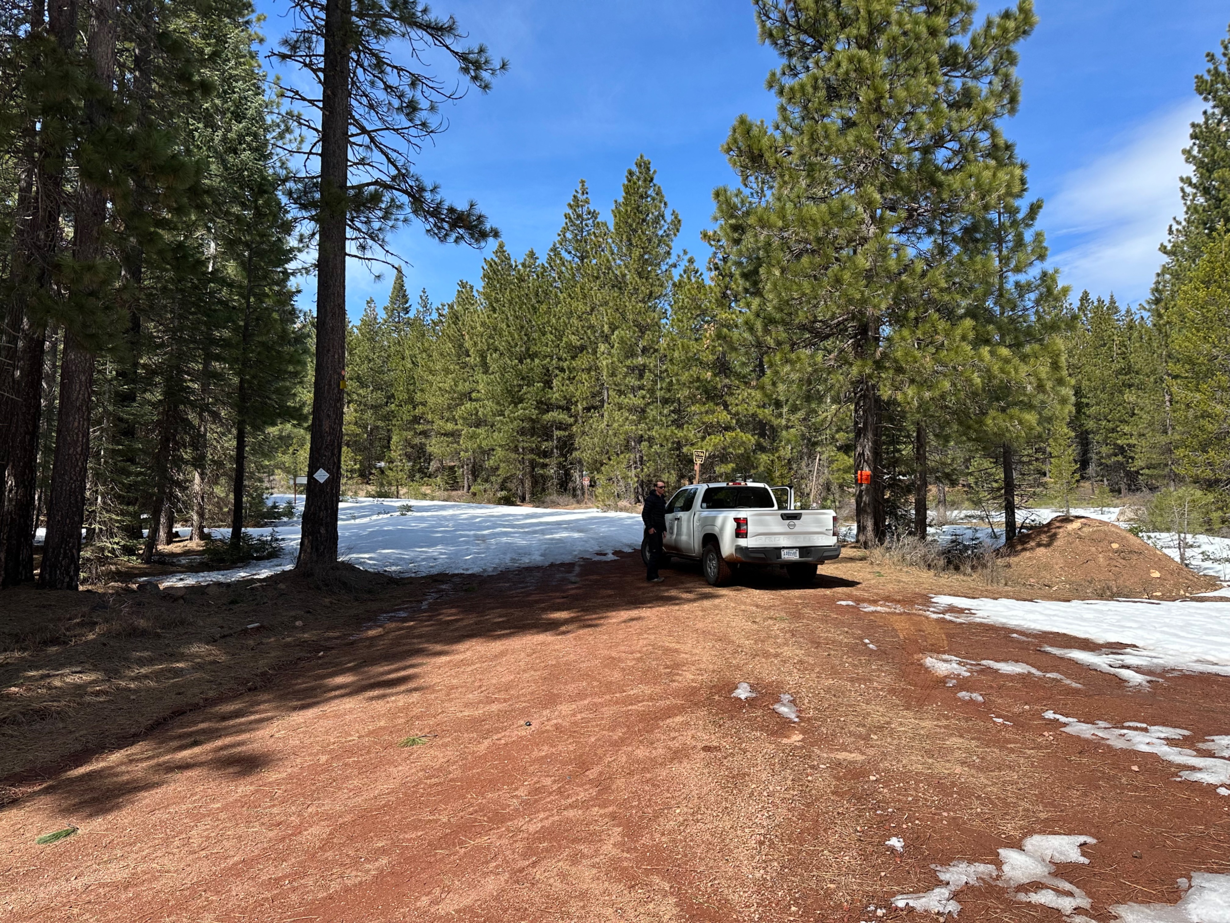
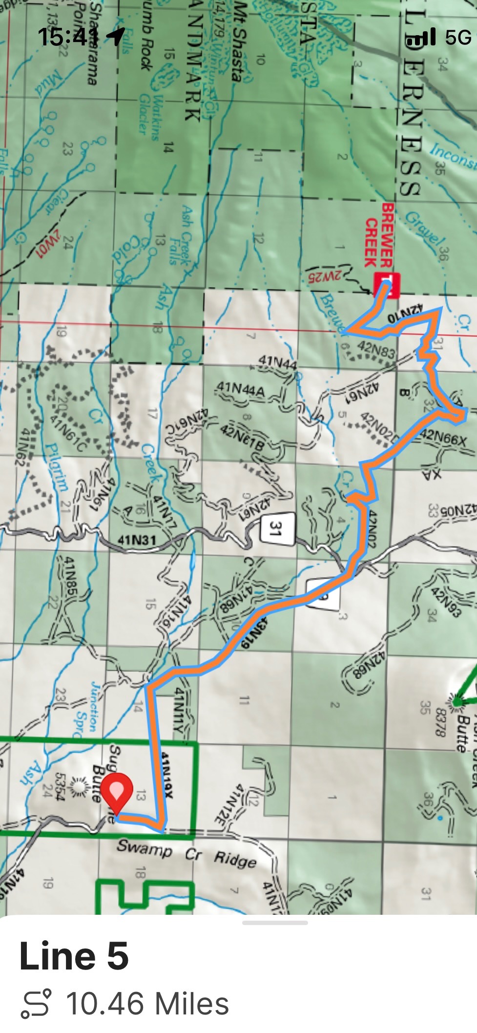
Brewer Creek: As of March 11th, you can drive within about 10 miles of the trailhead to just beyond Sugar Pine Butte on Military Pass Road (41N19), approaching from Highway 89. Roads beyond this point are covered in snow.
A full mountaineering kit is essential: 12-point crampons (NOT microspikes), ice axe, and helmet, and the skills to use them proficiently. Please refer to the updated Climbing Advisory page for more information about climbing Mount Shasta.